Marshall Islands
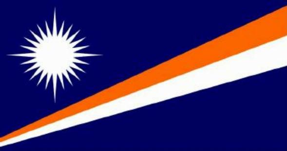
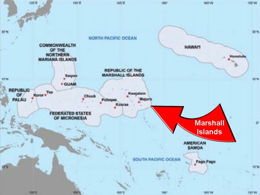
After four months on Kosrae, it’s time to see some new islands. I’ll start with Kosrae’s nearest neighbor: The Republic of the Marshall Islands (aka RMI) — of which there are 1156 individual islands scattered across 29 atolls.
It would take too long to visit every island in the RMI, so I’ll see just one: Majuro, which is RMI’s capital, its largest and most populated atoll, and the location of RMI’s international airport.
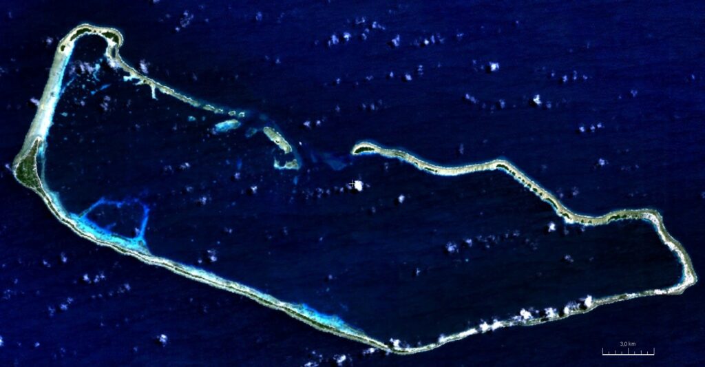
Although Majuro is 40 km long from east to west, its total land area is less than 10 km2.
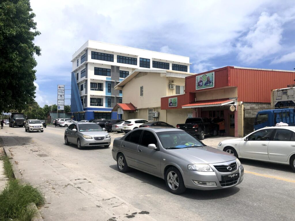
32,000 people squeeze onto this little strip of land. Compared to Kosrae, Majuro is a big city.

Within Majuro’s vast lagoon, small boats ferry people and supplies across this sheltered water to the islands that form the atoll’s perimeter.
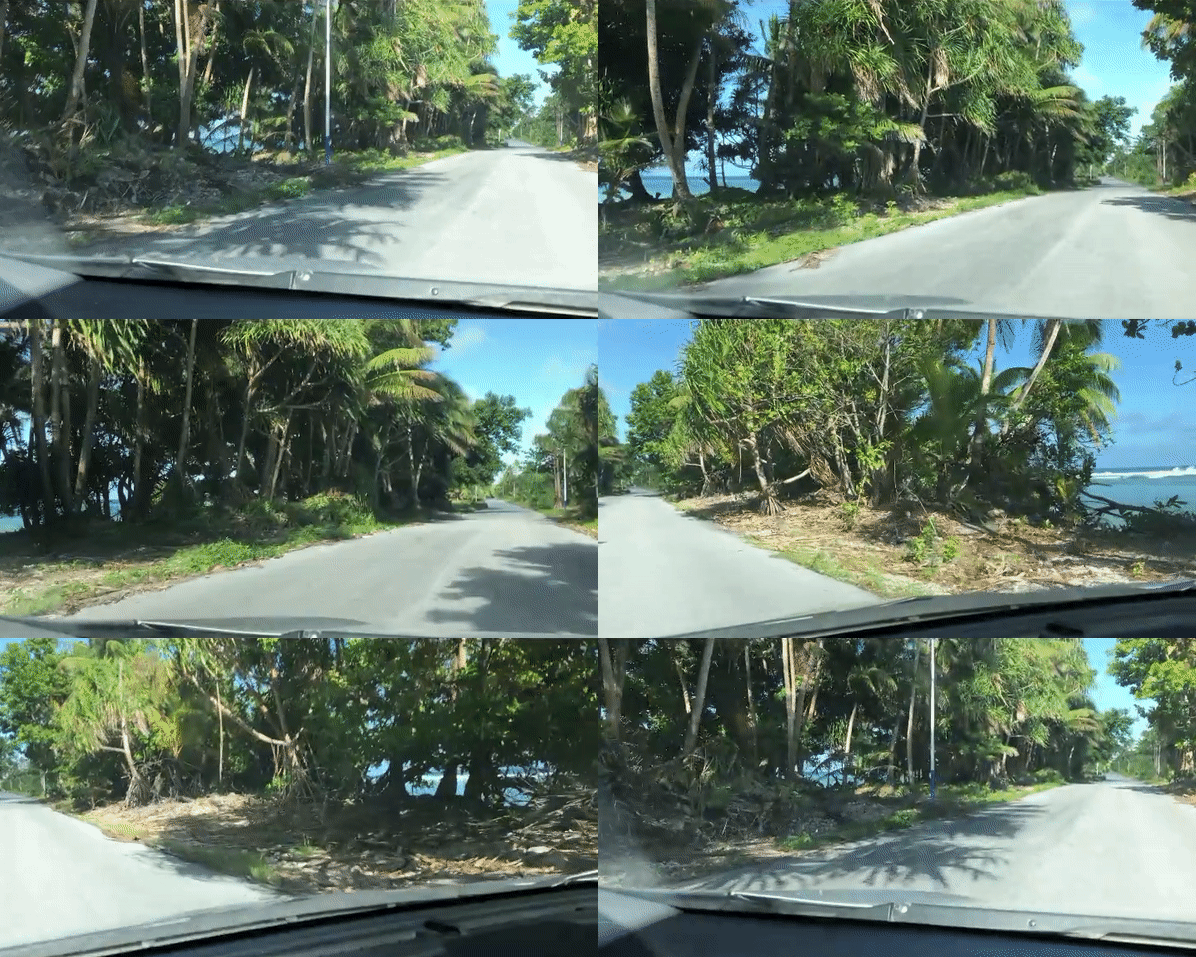
Since most of Majuro is only a few hundred meters wide, as you travel from one end of the island to the other, you’re never far from water.
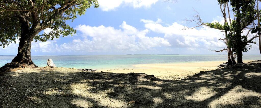
Because of its shape, an atoll has miles and miles of beaches on both the calm lagoon side and the restless ocean side..
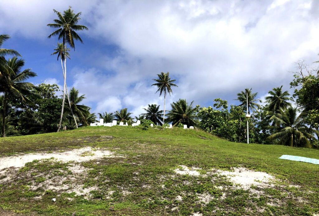
Here’s the highest point on Majuro, elevation 4 meters above sea level. Climbing the highest peak in this country took about 30 seconds.

Looking at Majuro from sea level, the islands are so low they can’t be seen from more than 20 kilometers away. It’s amazing that early explorers managed to find these islands.
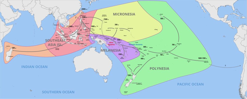
Somehow, fearless navigators managed to discover the islands of Micronesia about 3000 years ago.
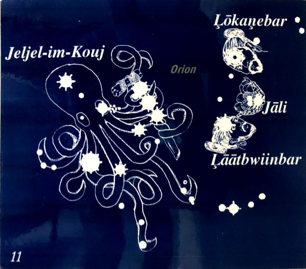
The early explorers of the Pacific used the stars as navigational guides. It’s fascinating to see how they interpreted the constellations of the night sky. I’ll never again look at Orion the same way.
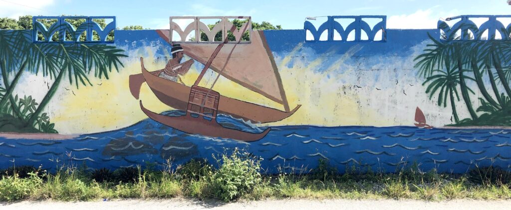
The Pacific Islanders were some of the most advanced and skillful sailors of all time. They travelled all over the Pacific in simple outrigger sailing canoes.
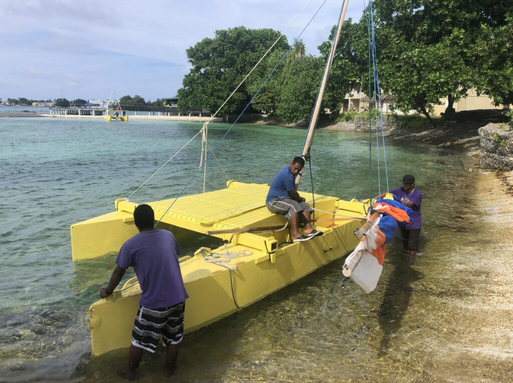
I was invited to sail across the lagoon with a sailing school called WAM.
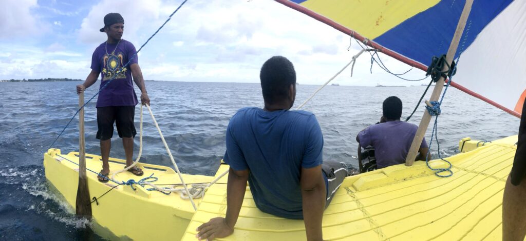
I was impressed by how simple, stable and fast this boat was under even a light breeze.
What’s remarkable about these outriggers is how they tack. The outrigger has no true bow or stern. When it’s time to come about, the mast is moved from one end of the hull to the other, reversing the boat’s direction. Click the video above to see how this works. Clever and simple!

The RMI doesn’t get lots of tourists. On the plane coming in and at the bar, I met only four foreigners, and they were all consultants for the World Bank. This tells me that if you want to see this country in its current natural and unspoiled state, you’d better see it soon. For now, the Marshallese are wonderfully friendly and hospitable.
Today, I’ll head back to the airport to fly to some even less visited atolls..
Hi Nick!
I’m delighted reading about your new adventures in the Pacific area.!
Your description of places make me feel
I have to go!!!!!
Big hug
Alex
I’m happy to show you the way to these beautiful islands. All you have to do is get on an airplane.
Yep. When the World Bank shows up, nothing is the same afterward.
Great photo of the schoolgirls. And I’m so glad you’ve included all those maps in these blogs. After decades of having a vague sense of where the various Marshalls, Micronesian islands, Samoa, Palau etc. were, I’m pleased to have so clear an illustration. Easier than picking them all out on a globe.
And yes those sail boars with the swivel mast are very cool.
,
I used to think of the World Bank as the Good Guys. But now that I’ve seen how they work I understand. The World Bank sponsors privatization … which will lead to greater efficiency, which will lead to greater productivity, which will lead to an increase in capital, which will lead to more investment, which will lead to wealth and prosperity for all. This is how the World Bank alleviates poverty one consultant at a time.
A great history lesson. Keep on truckin’ Nick
What I forgot to mention about the Marshall Islands history is one of the things that make this country famous (or infamous): Atolls Bikini, Enewetak, Rongelap and Utrik are all radioactive from having been used as atomic bomb testing grounds from 1946 to 1958.
Continually astounded at Polynesian seamanship in centuries past and how sailors found the mid-ocean speck that is Hawai’i — I guess our 50th state is like a continent compared to these tiny atolls. How do the outriggers handle heavy seas and typhoons? Is there any folk wisdom for forecasting major weather events?
Nick, I don’t know where I got the idea that you’d been to Kwajalein before. UM sent me there in 1992. I’m still friends with the lady who was the island field rep at the time. I think of Kwaj as “the Pacific for beginners.” Visited Majuro during a break and found it interesting. Do you realize that once you’ve exhausted this planet, you’ll be obliged to begin again on Mars? I’ll donate funds to help!
Although UMUC sent me to Diego Garcia, UMUC never sent me to Kwajalein. Happily, Majuro is an easy hop from Kosrae. When I’ve seen all of this planet, I’ll be ready for my next one … though I’ll admit I’m rather fond of Earth and there may be a few places I’d like to revisit.
I watched the sailing video even before I read your explanation. I was left stunned, asking myself, “OMG, did they just execute a tack?” Incredible how they moved the sail. Enjoy your island tour.
Yes, that’s how a Micronesian outrigger tacks. Why turn the boat when you can simply switch bow and stern?
Simply stunning!