|
|
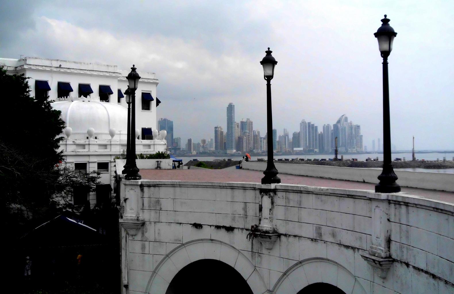
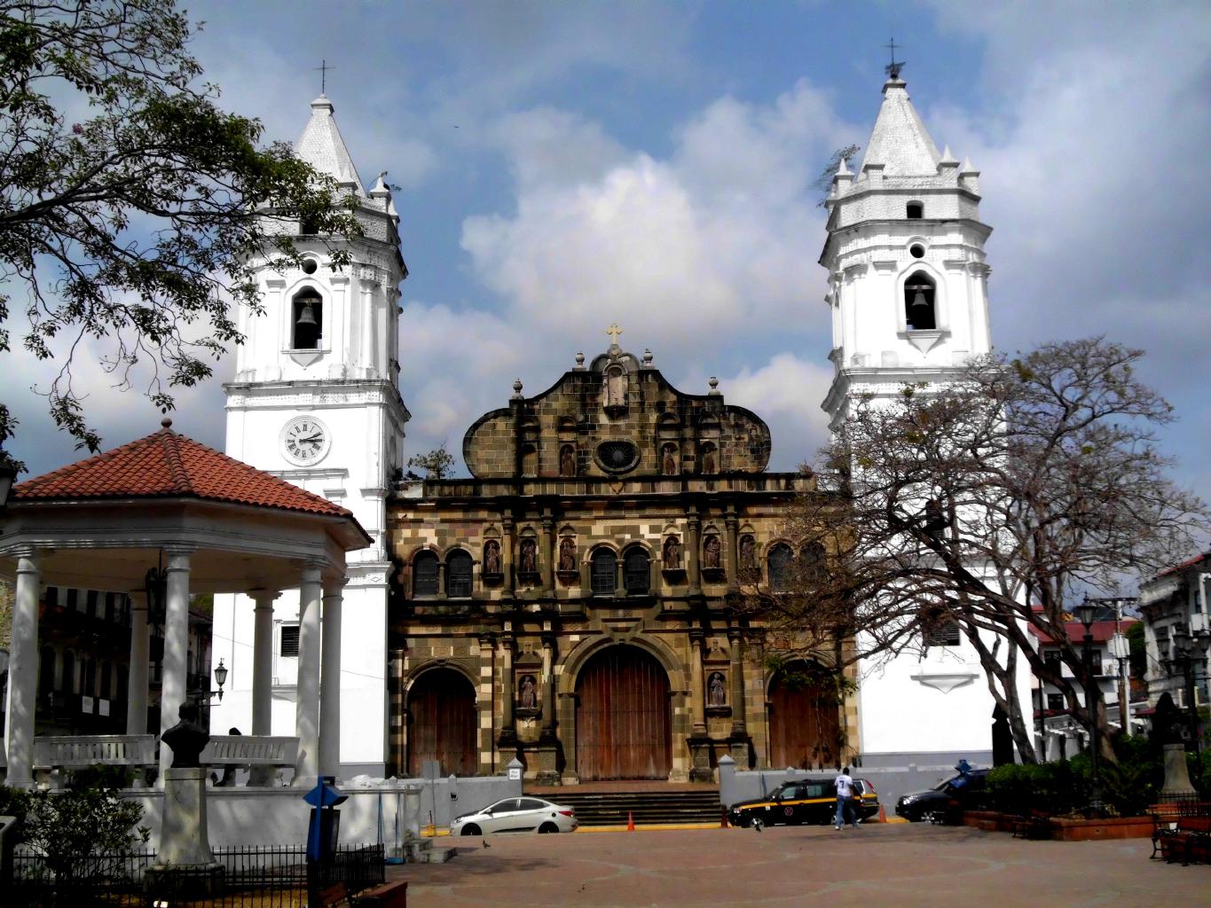
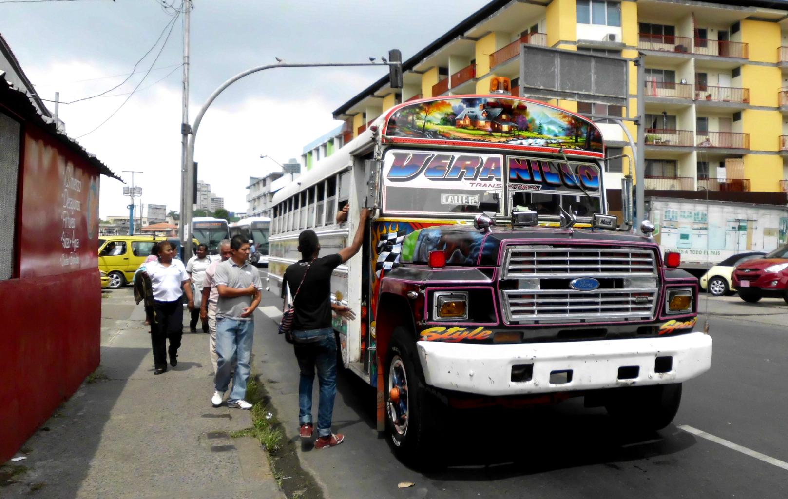
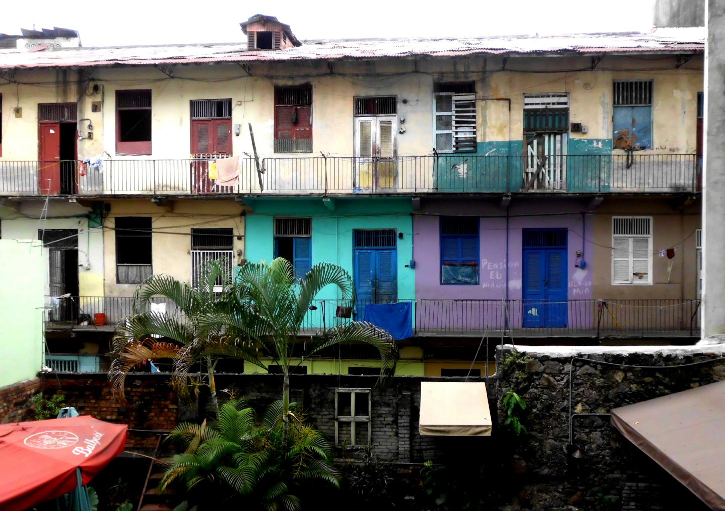
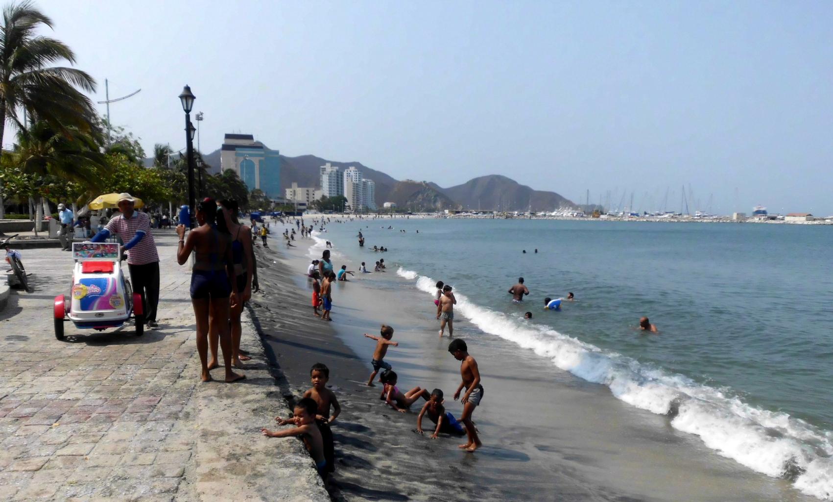
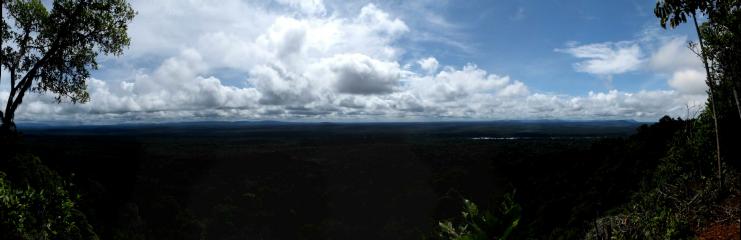
Caribbean Odyssey − November 2012 to July 2013
Welcome to my blog for 2013.
After spending the past four years in Asia and
remote parts of the southern hemisphere,
I realized that there were quite a few places
close to the US that I'd never seen.
With the excuse of spending the holidays
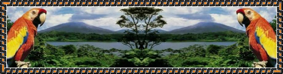
with my niece and her family in Costa Rica,
I bought a one-way ticket to San José and took off.
From the start, this odyssey was pure wandering.
I made no plans in advance.
I took advantage of last minute travel bargains
to hop from country to country and island to island.
As always,
I traveled with minimal luggage −
just a day pack with
a change of underwear,
a bathing suit,
toilet articles,
camera,
computer,
Kindle and
passport.
With the weather always warm and sunny,
who needs more than this?
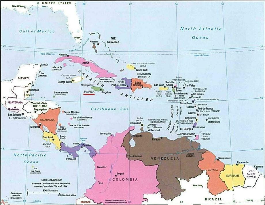
As I traveled, I posted the following blog .
You can read it in chronological order, or
you can jump directly to selected countries
by clicking on the map below.
The pictures and the text tell the story
about my journey through many beautiful and friendly places.
But you'll never really know until you go there.
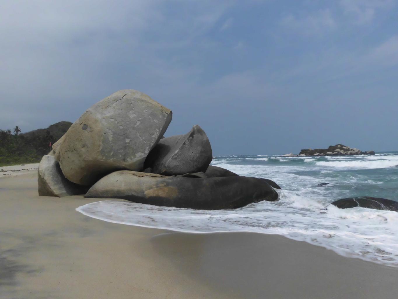
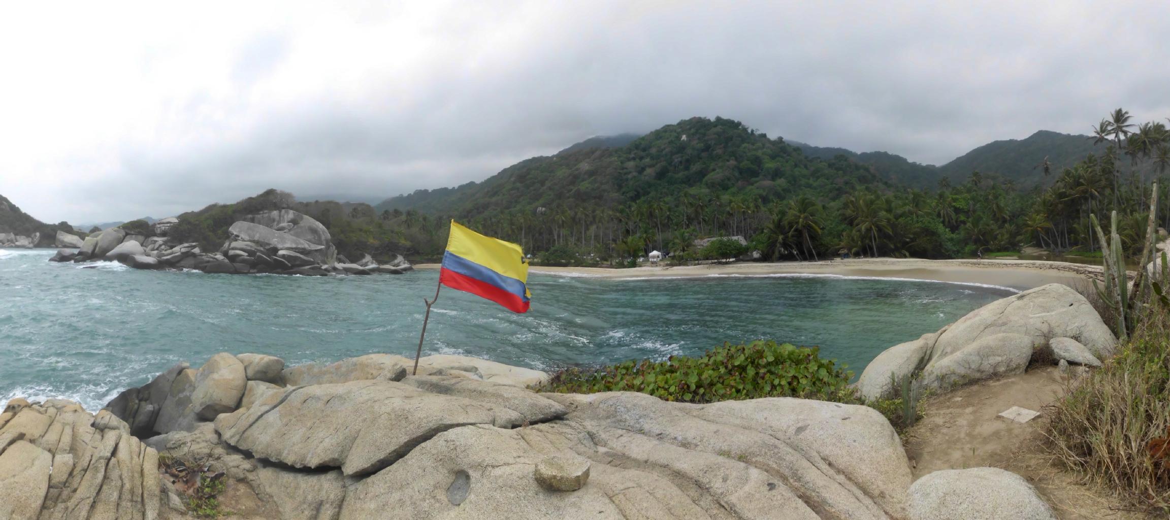
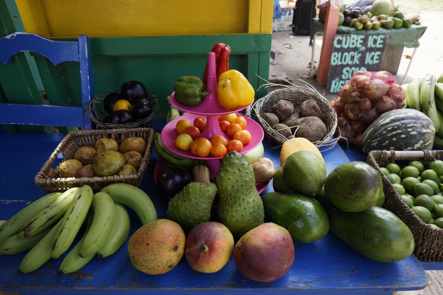
I especially recommend Cuba, Trinidad and the Grenadines.
|
|
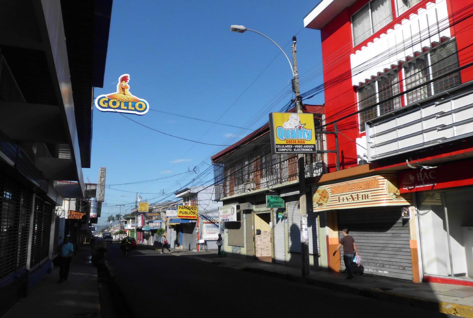
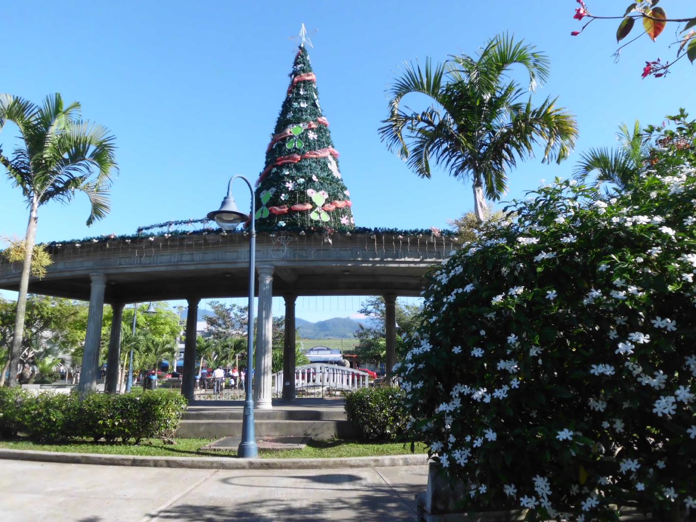
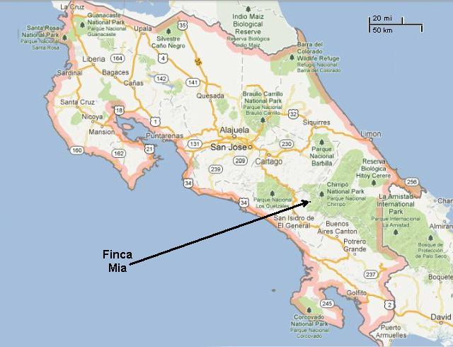
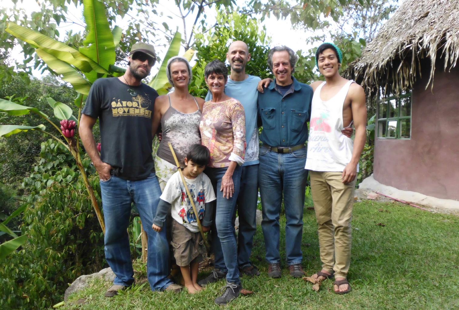
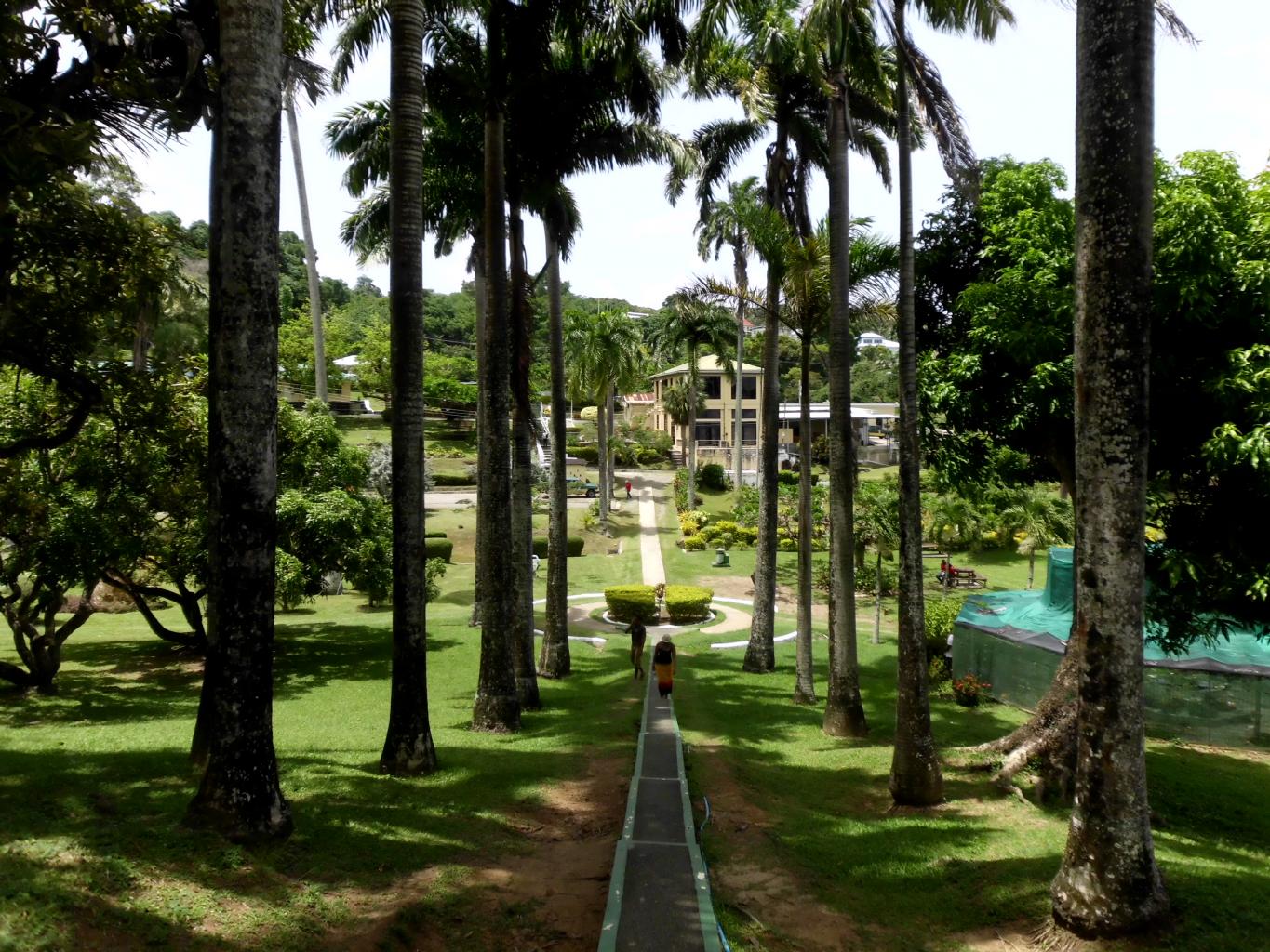
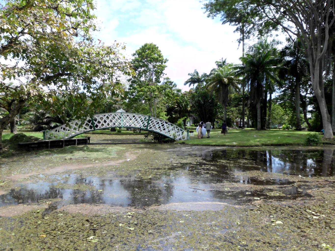
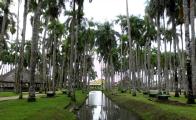
Of course, the real reason for being in Costa Rica for Christmas
is to be with family.
My niece Anna and her family have made their home here for almost a year.
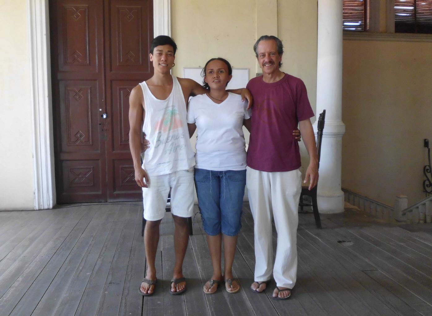
So, my son, my sister, my nephew and I all joined them for the holidays.
The beautiful scenery, the comfortable weather, the healthy environs,
the eclectic ex-pat community, the generous Ticos, and the excellent management make
Finca Mia a fabulous place to visit for a week ...
or a few months. Highly recommended!
|
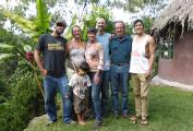
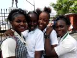
Josiah, Anna, Sarah, Mason, me, Dan
Sasha (in front)
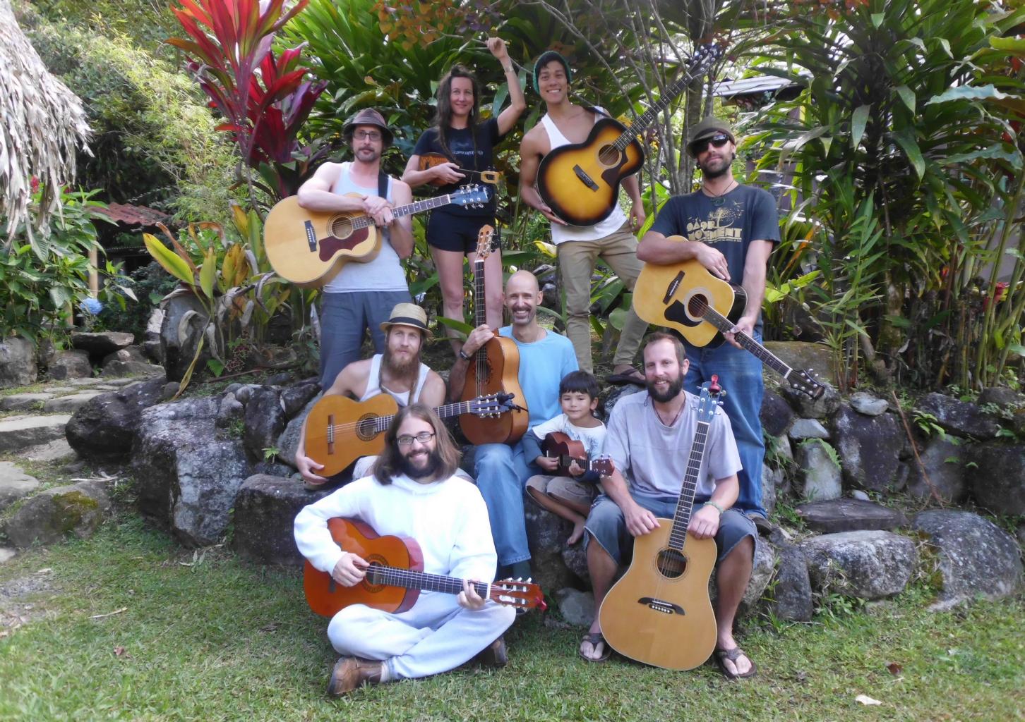
|
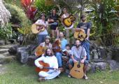
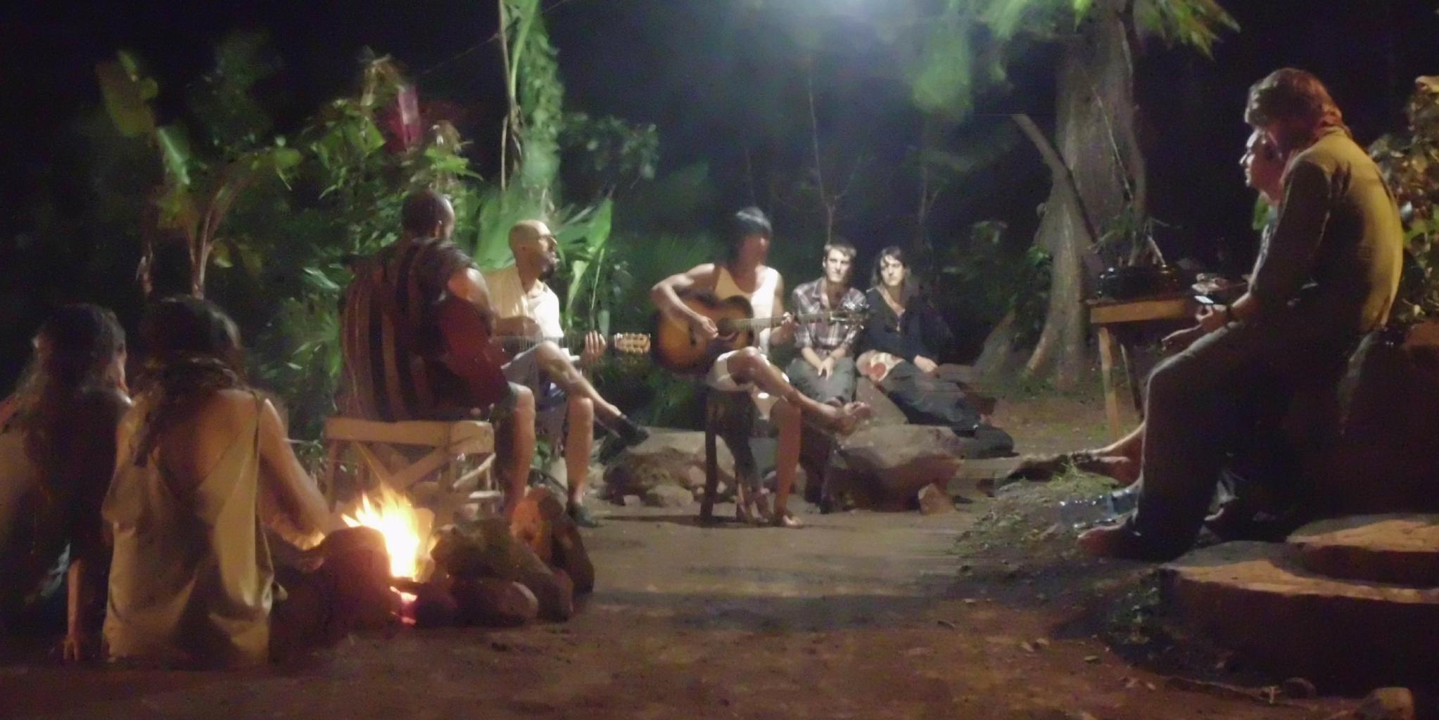
Our band of minstrels
and entertainers
|

Feliz Navidad
Prospero Ańo y Felicidad
|
|
There's no telling where my travels will take me next.
The only sure thing is that this blog
will be updated from time to time. So, please keep reading.
And have a Happy New Year!
|
|
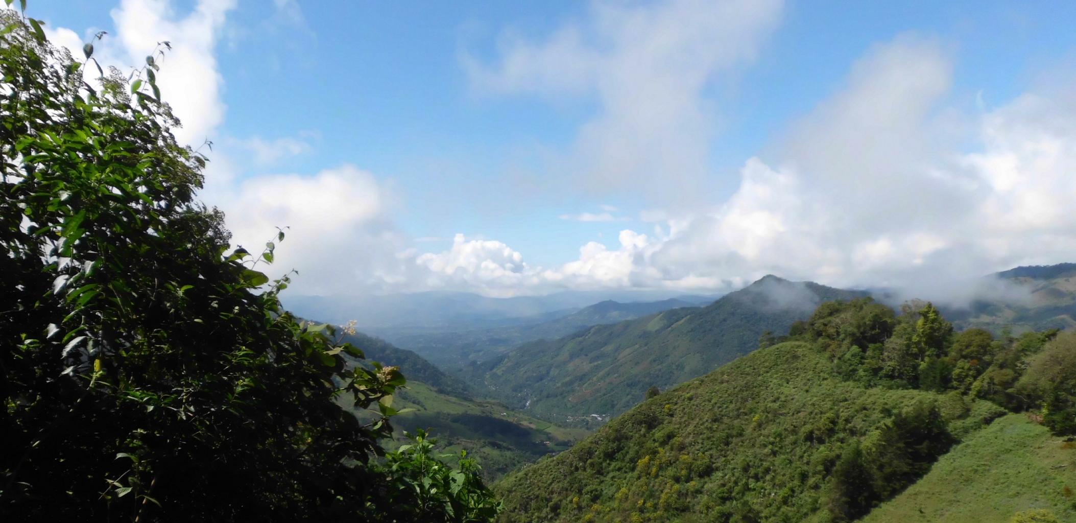
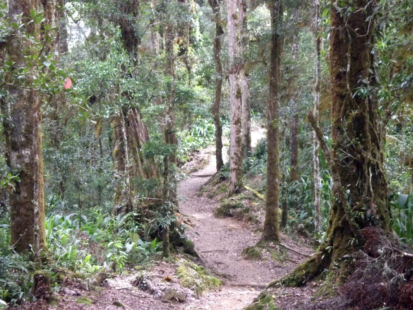
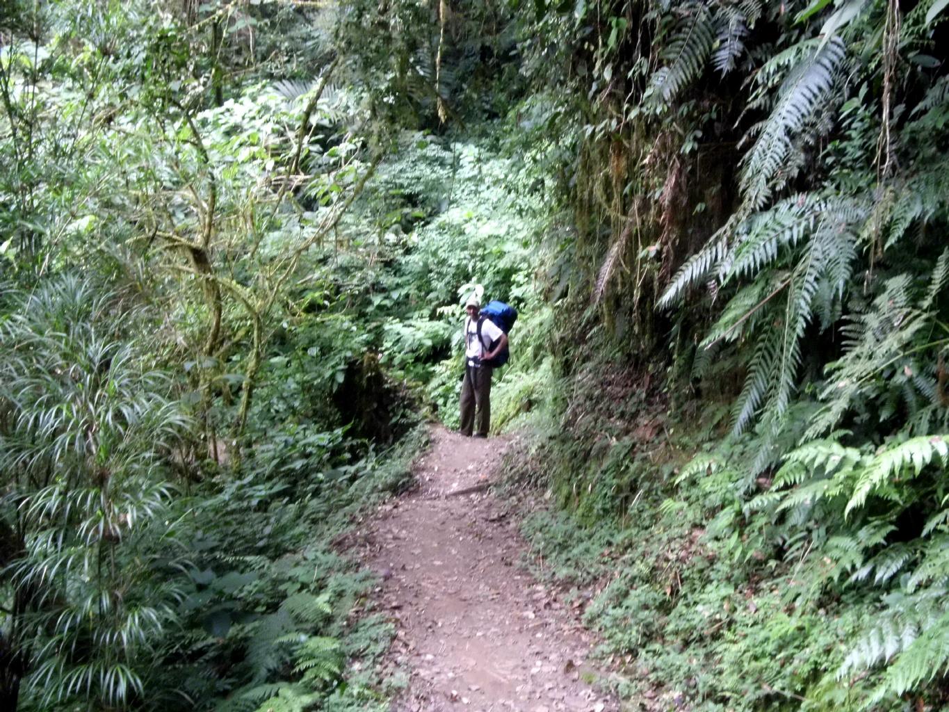
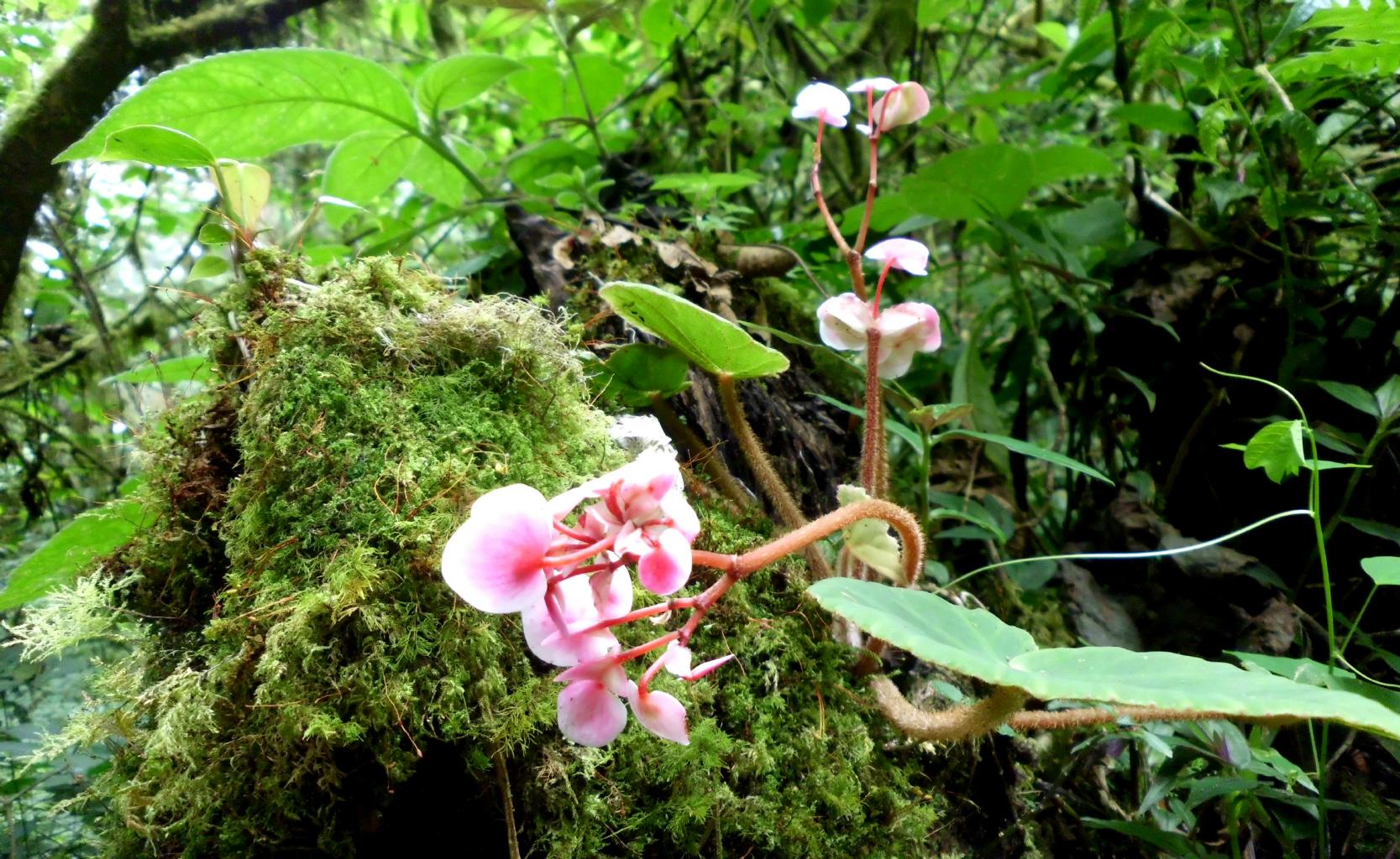
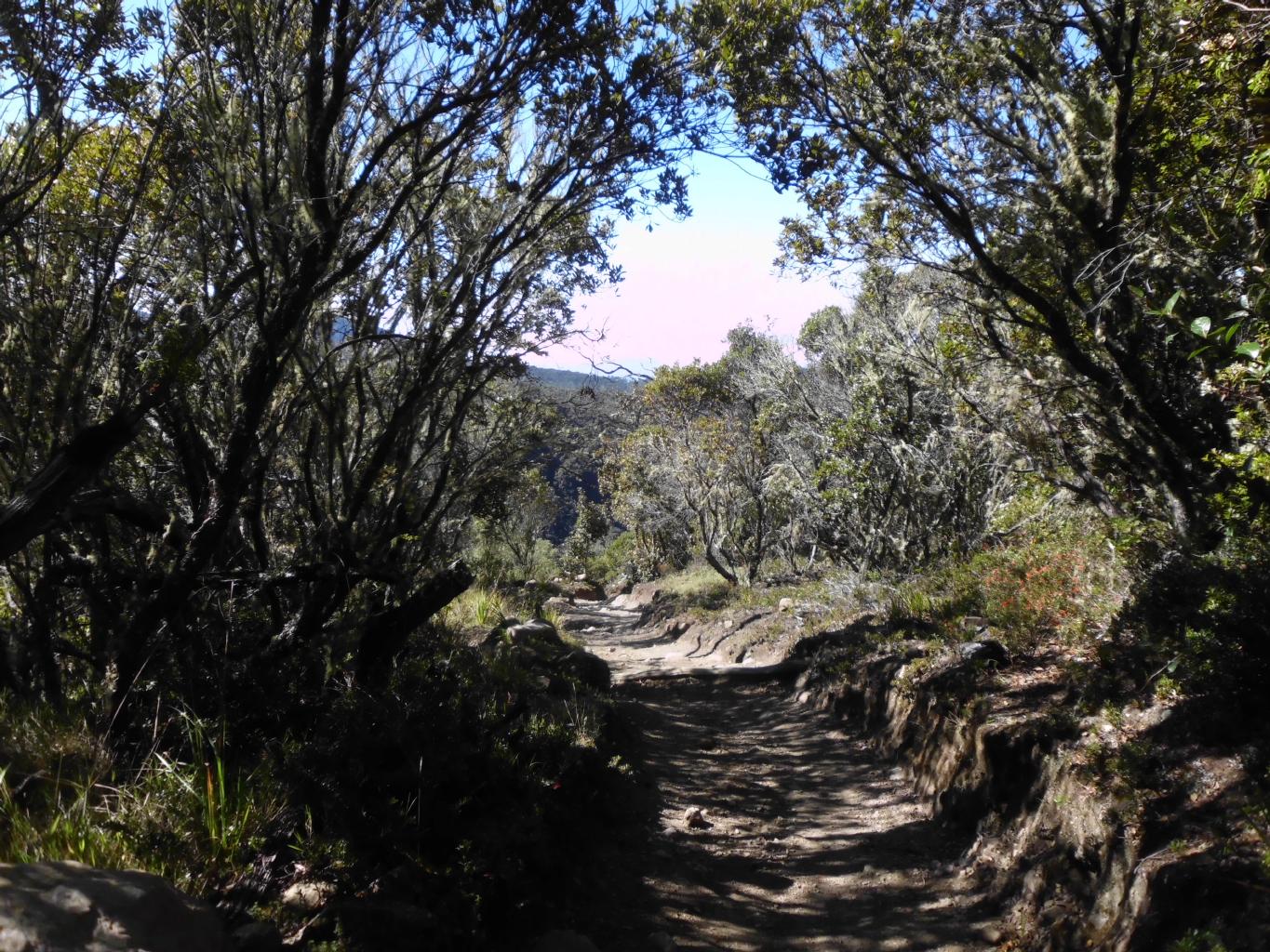
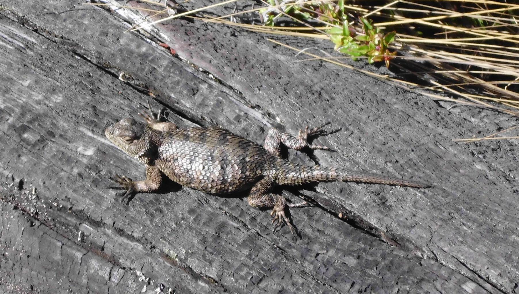
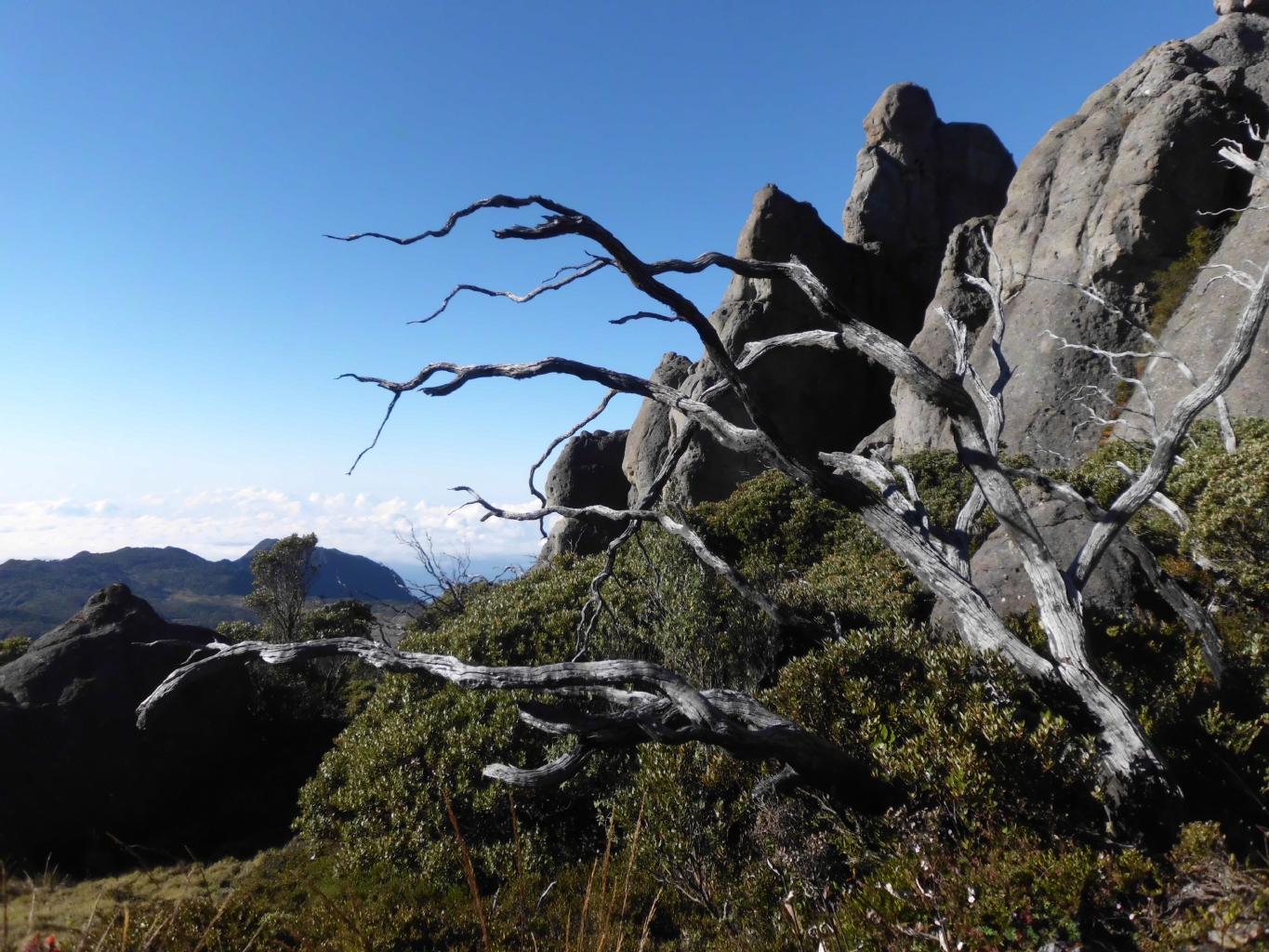
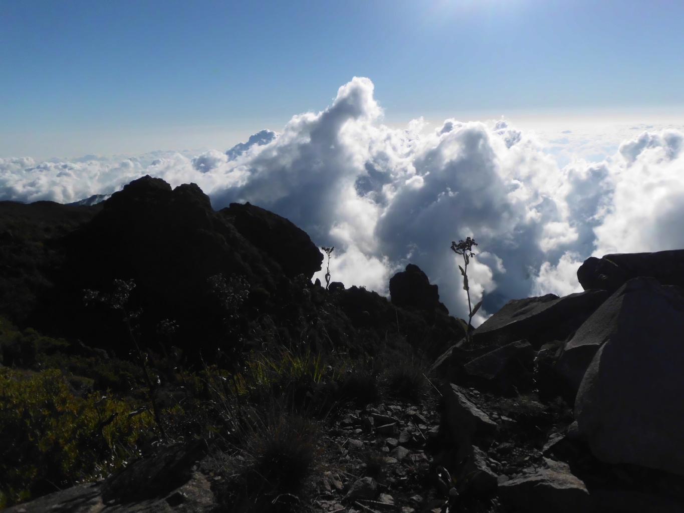
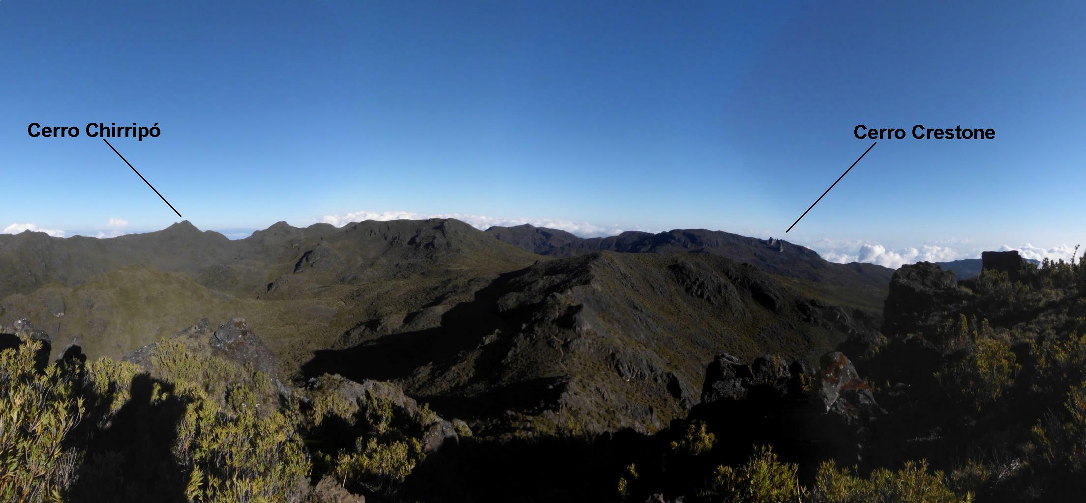
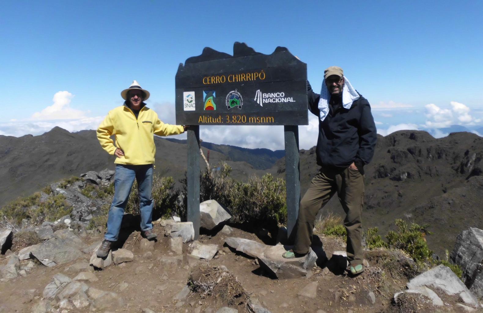
Be prepared to make this a 3-day, 2-night adventure.
This gives ample time to explore the high country and to climb a few peaks.
To make things easy for yourself,
stay with the wonderful folks at Finca Mia.
The trailhead to Chirripó N.P. is right out their front gate.
|
|
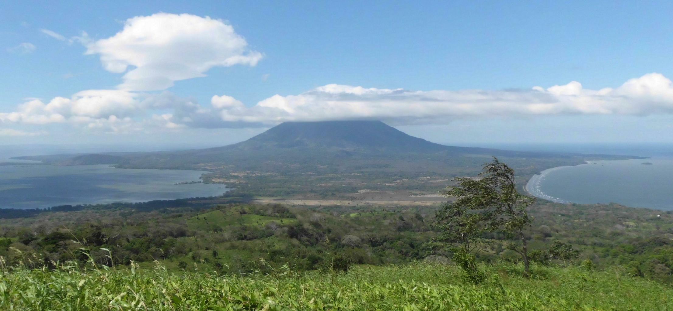
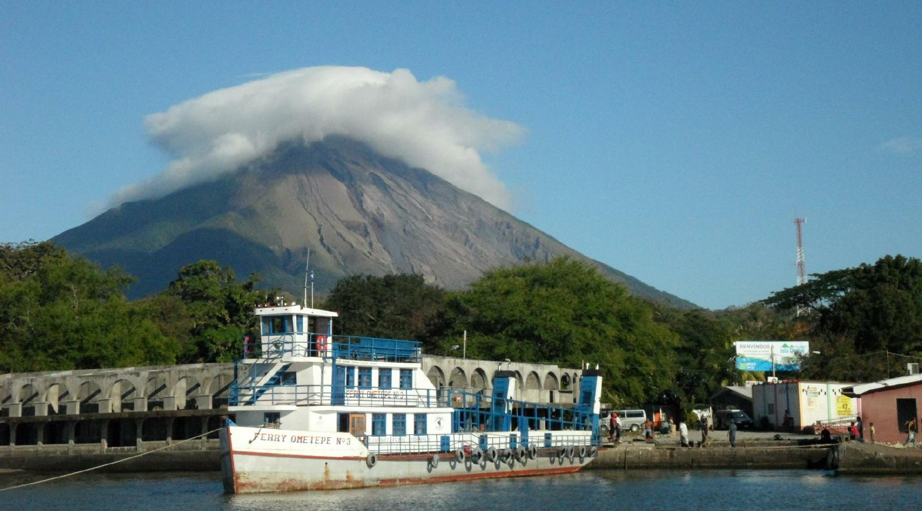
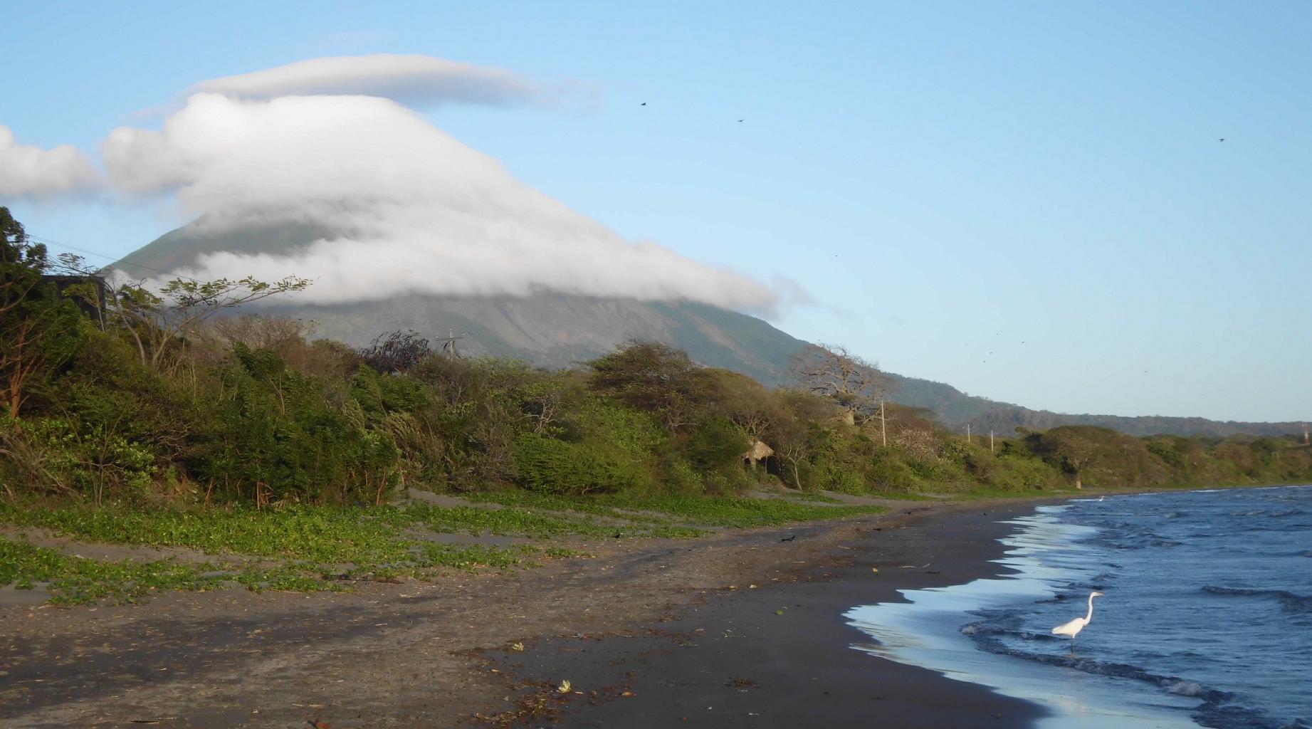
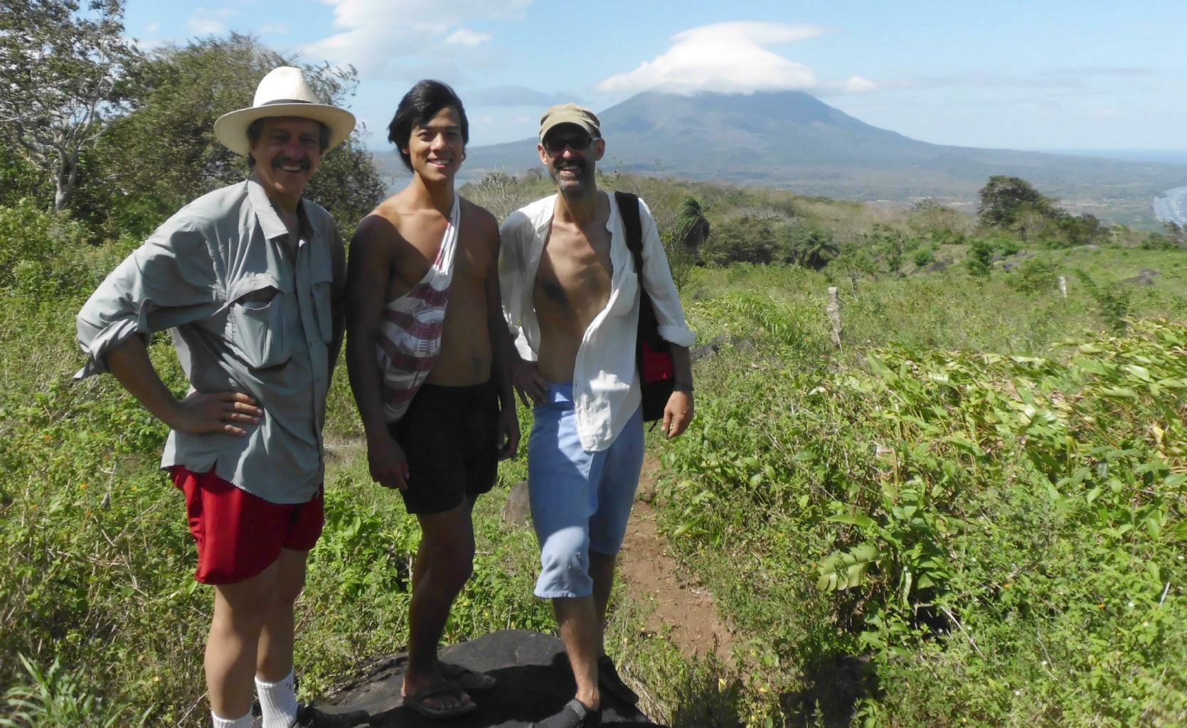
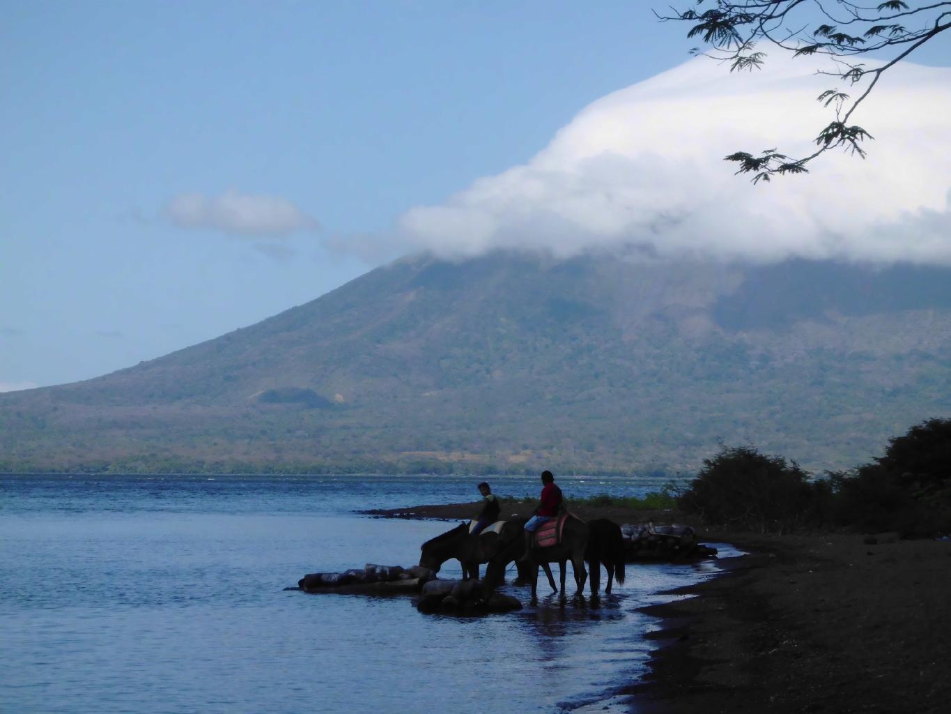
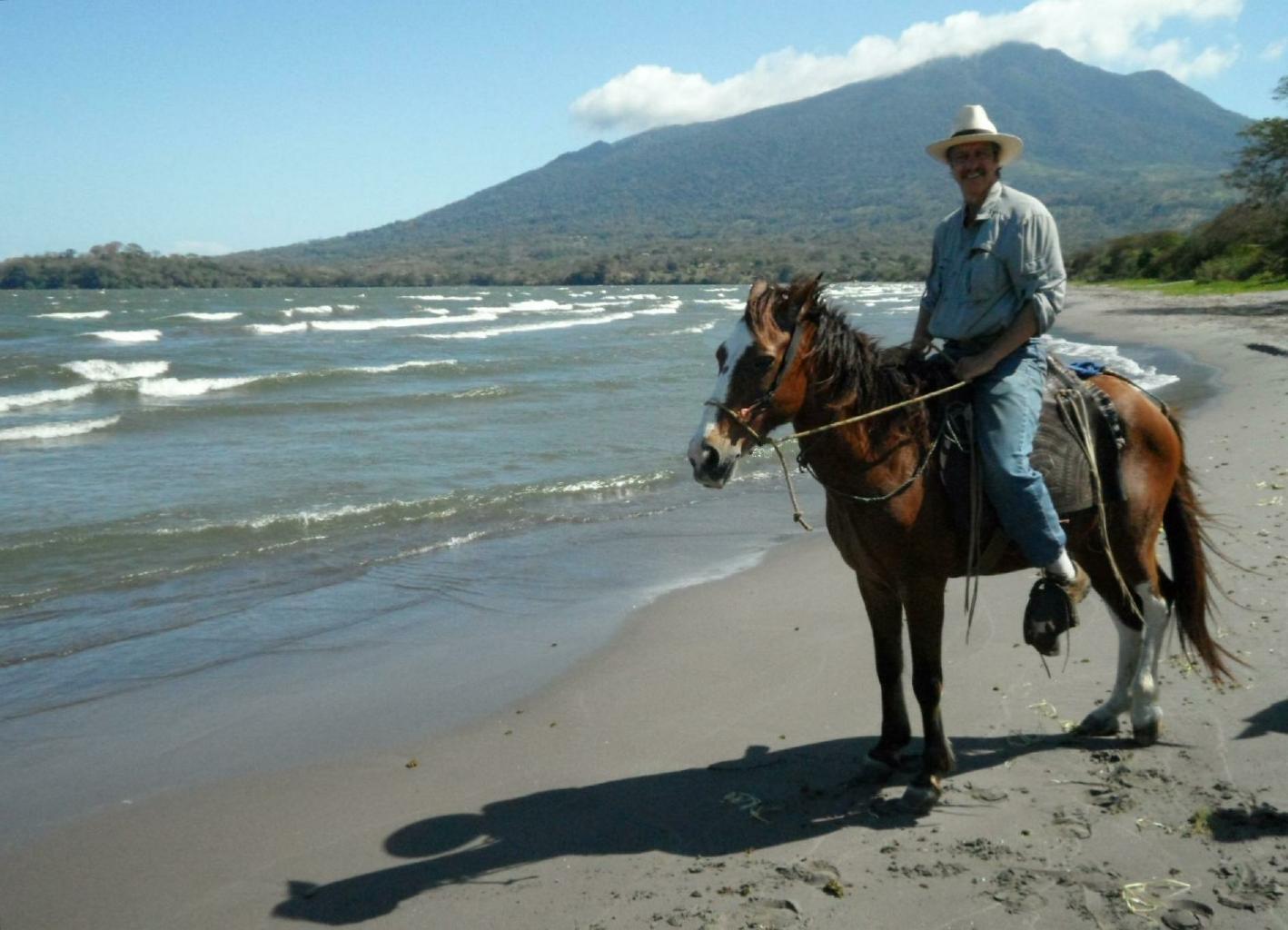
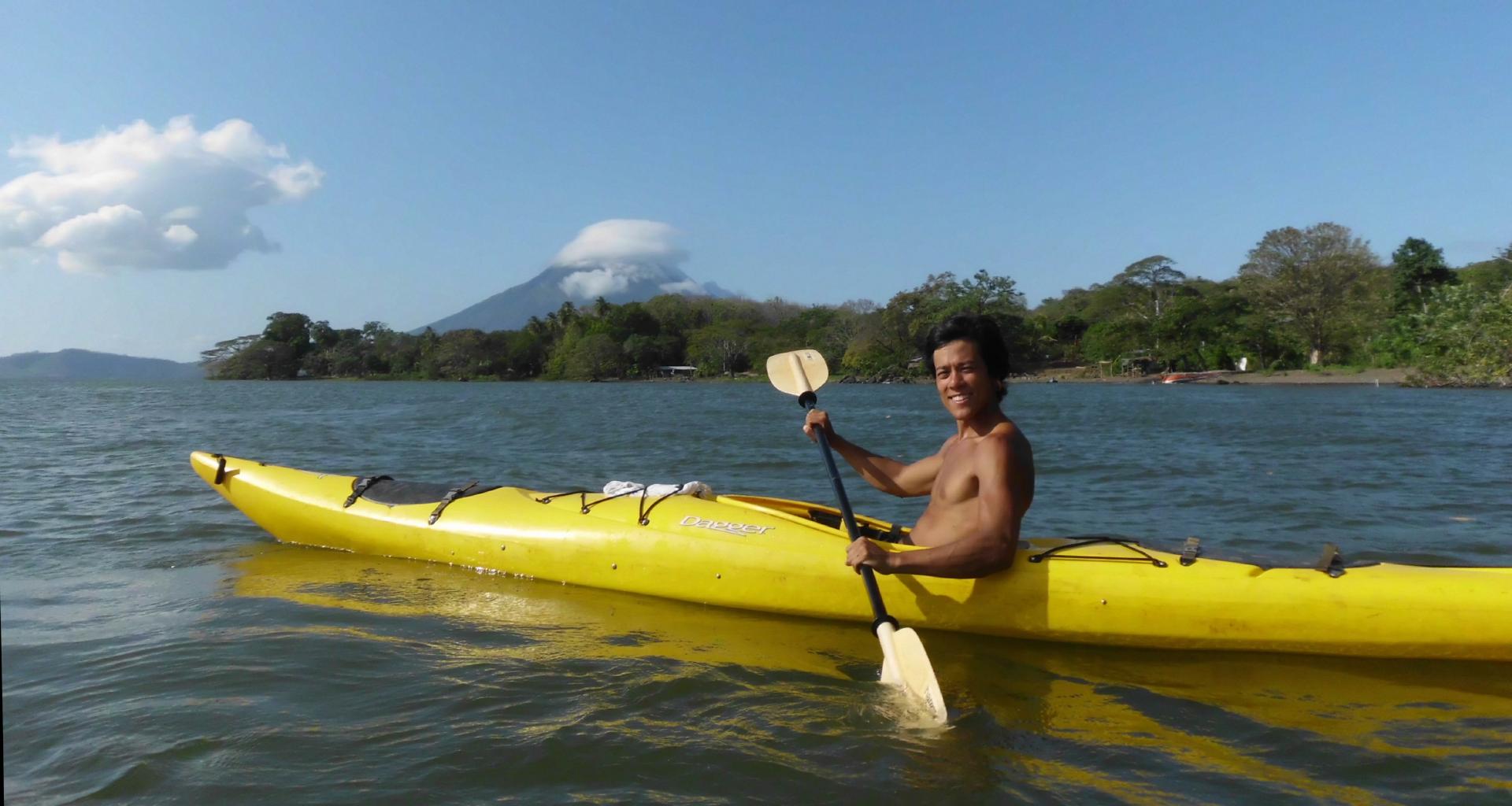
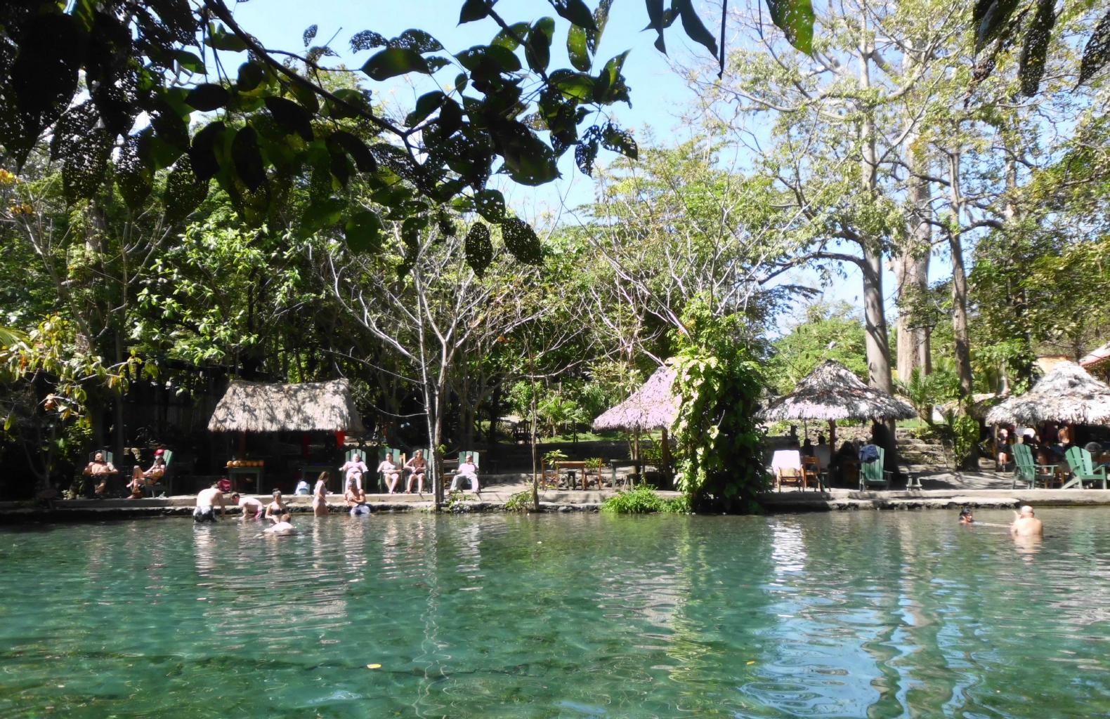
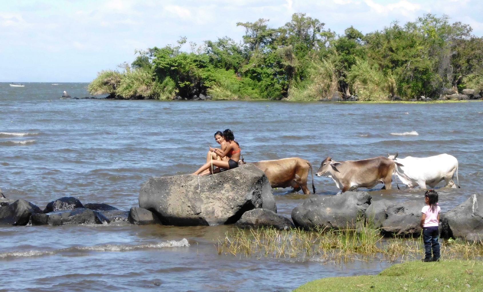
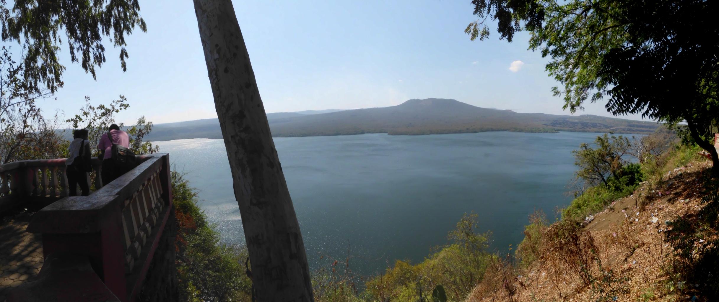
Before coming to Ometepe, I made no plans or reservations.
Yet I had no trouble finding three charming and memorable places to stay,
all located on the isthmus between the two volcanoes.
Ometepe Island gets an A+ for exotic landscape, low prices,
relaxing atmosphere and friendly people.
For more information, here's the official
Travel Guide to Isla Ometepe.
|
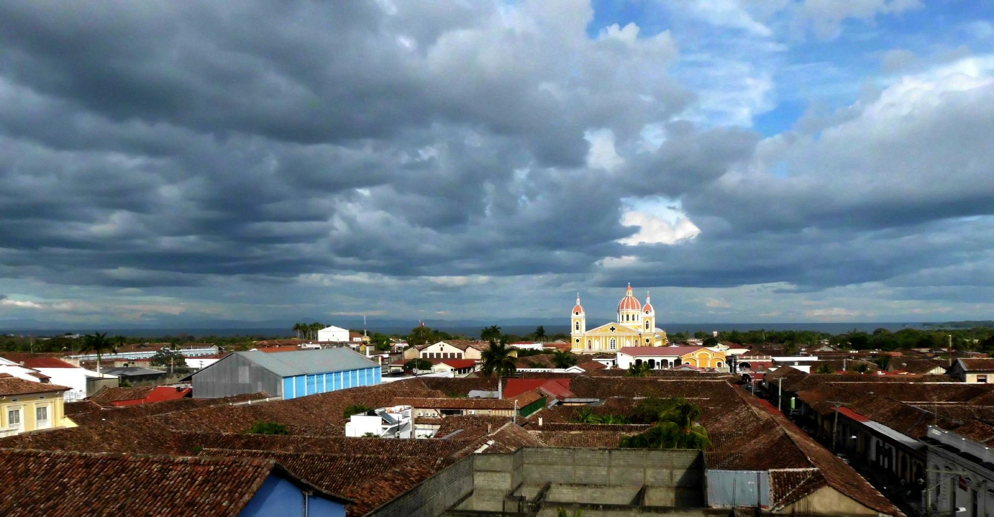
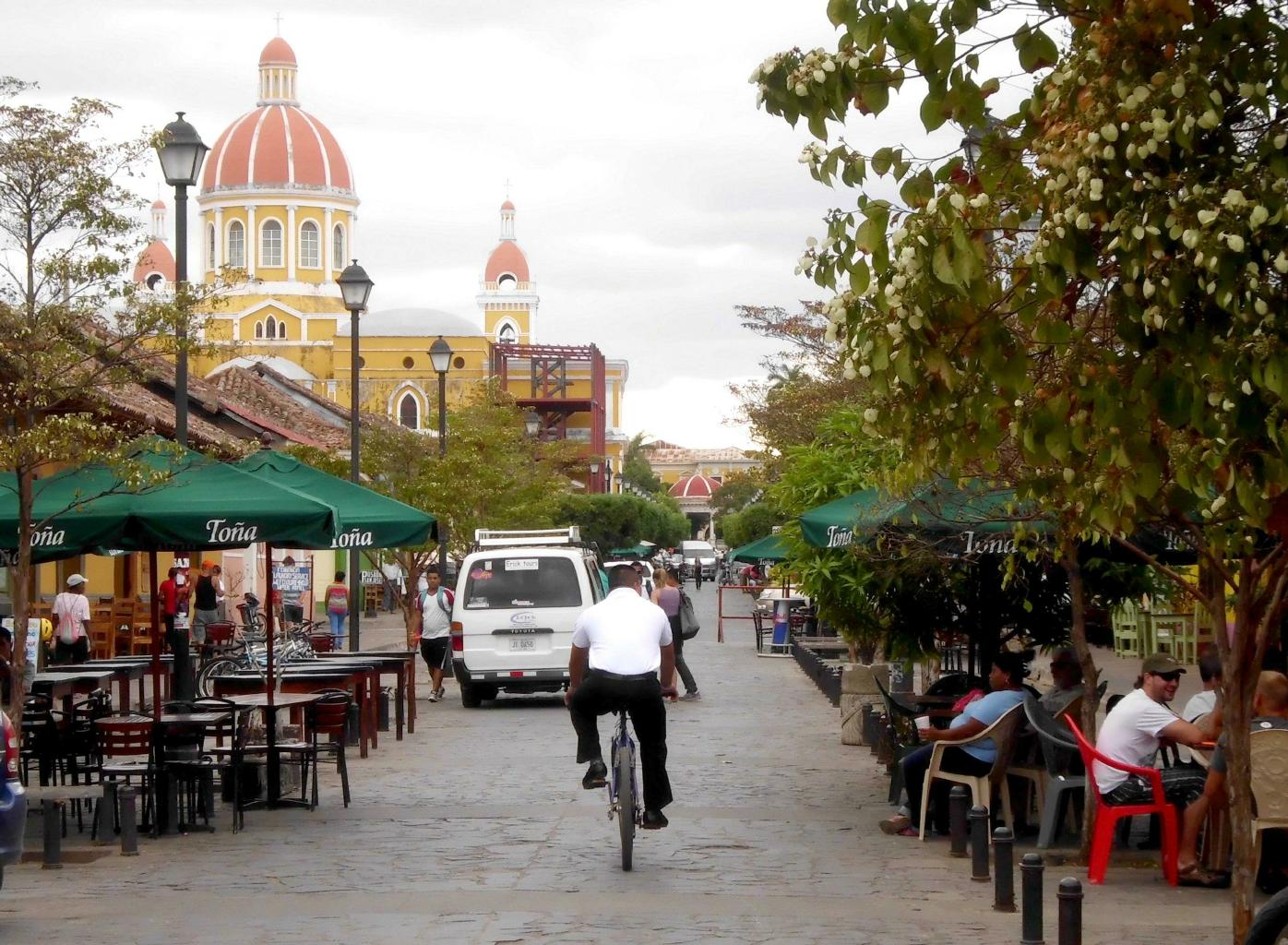
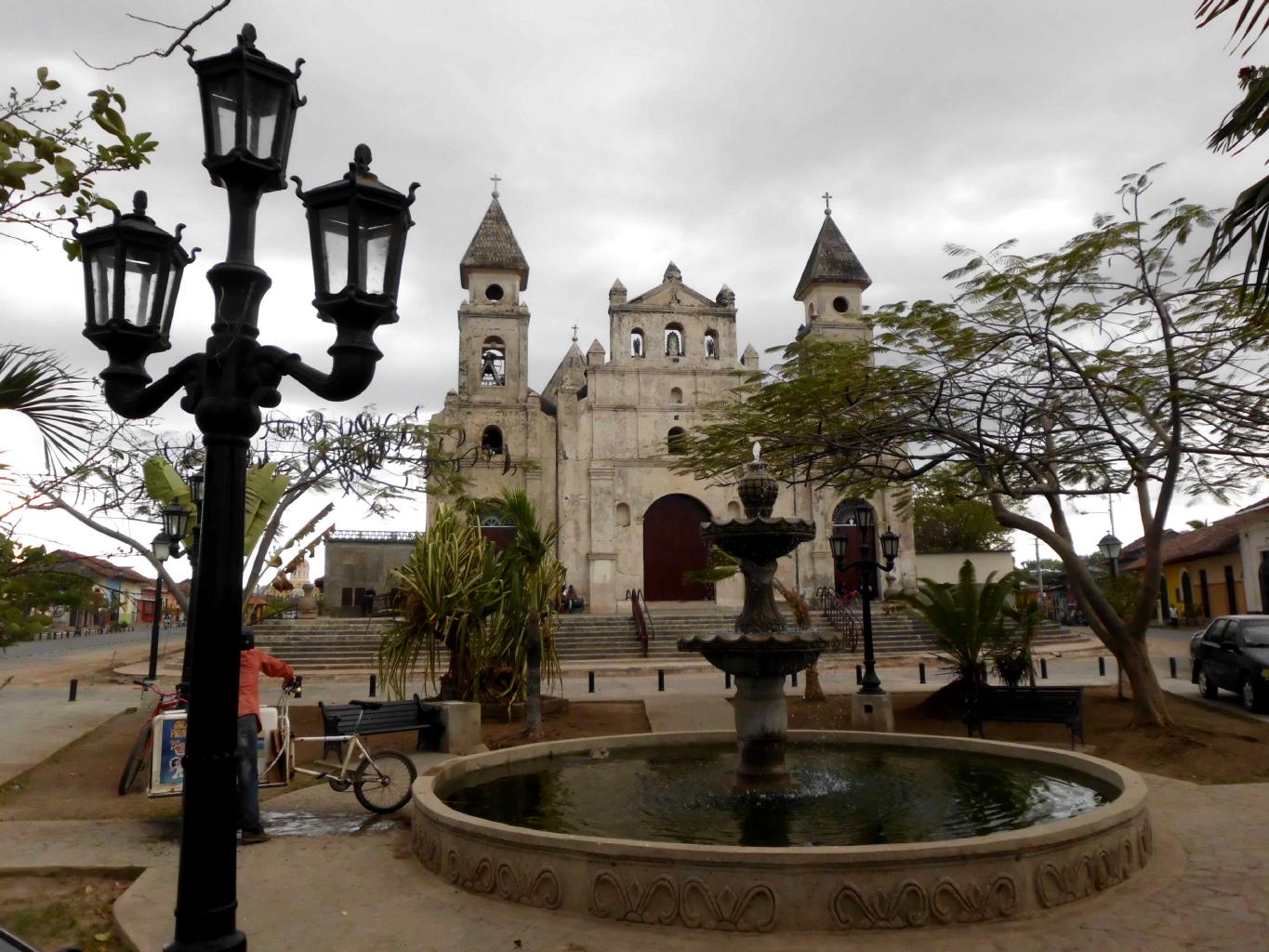
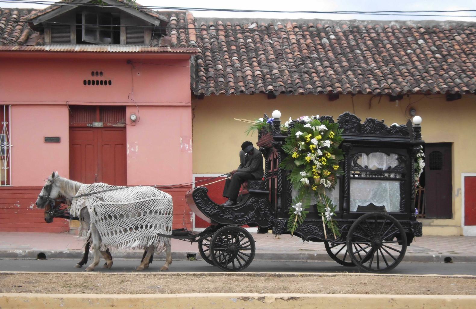
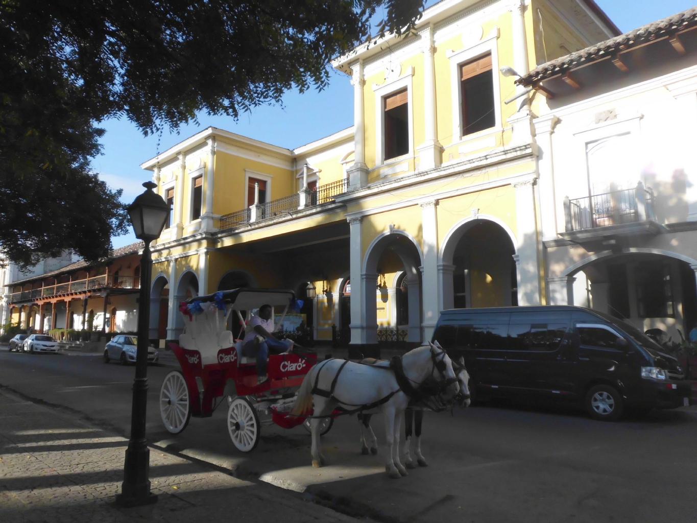
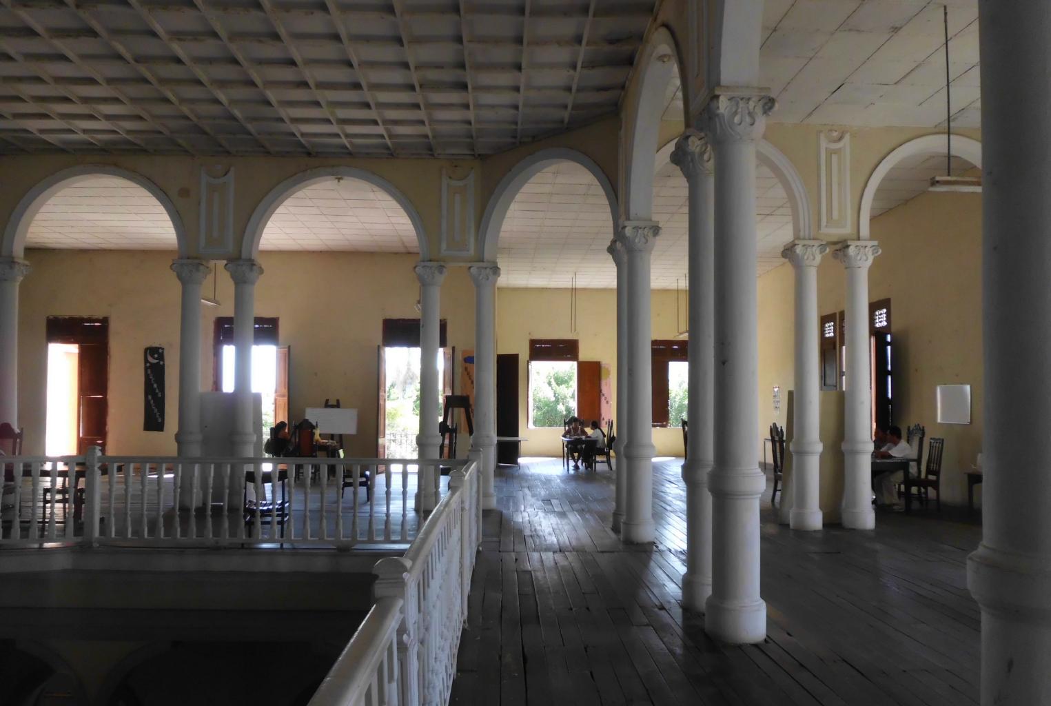
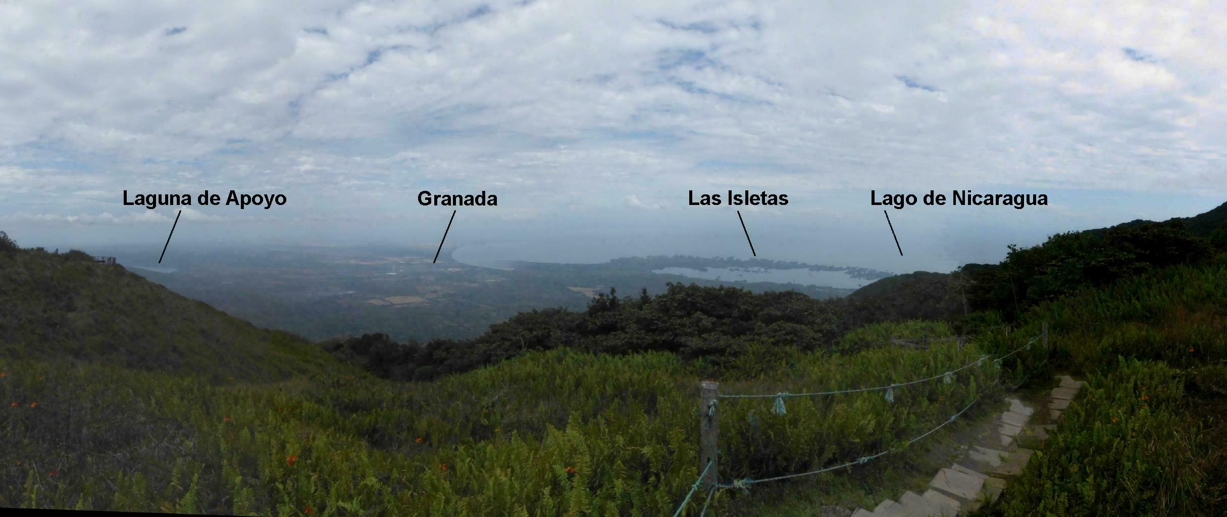
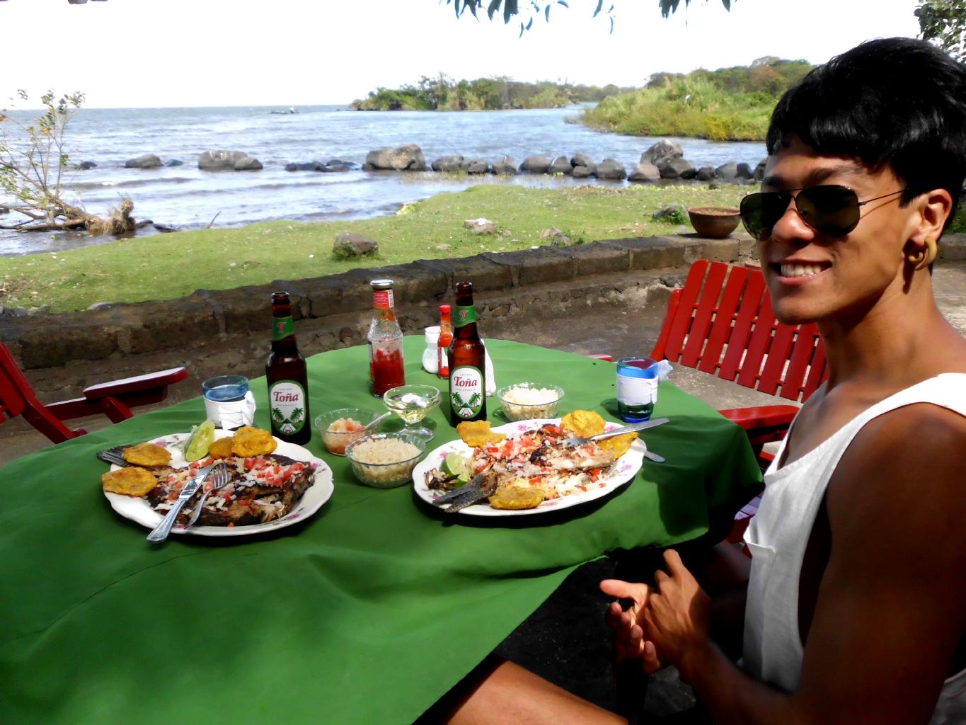
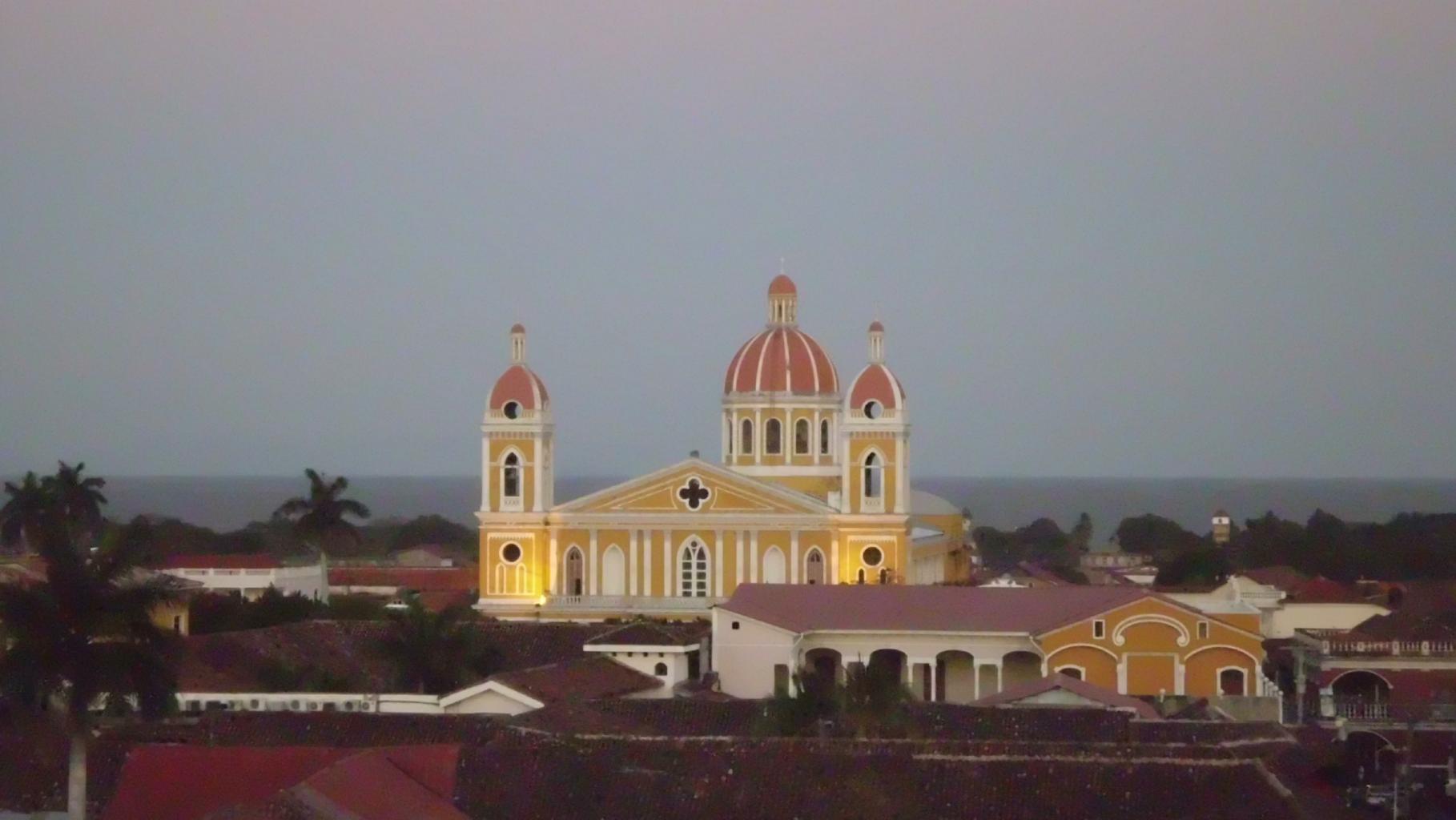
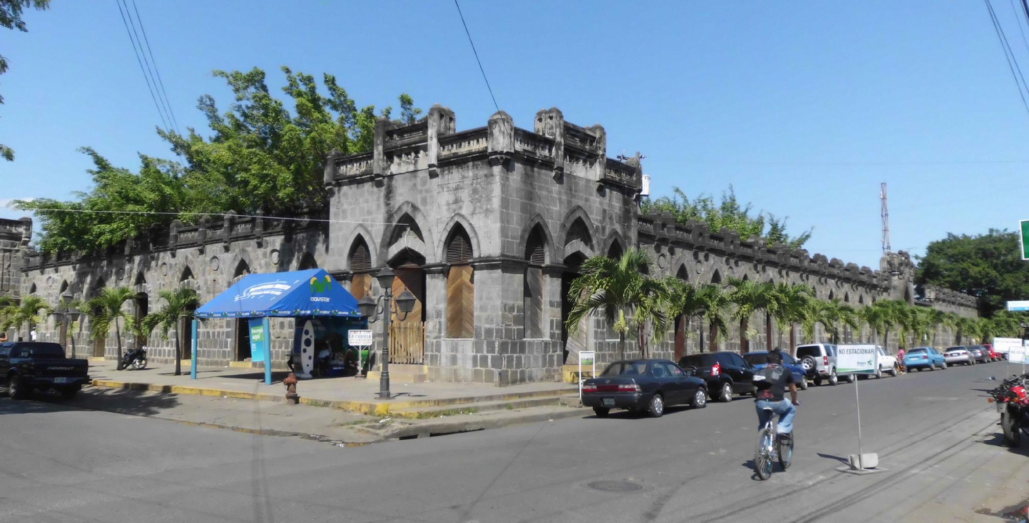
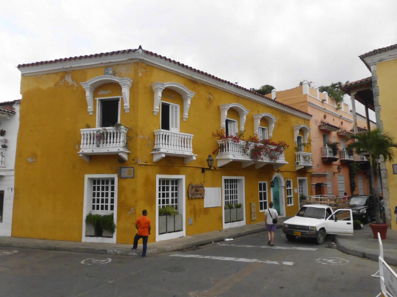
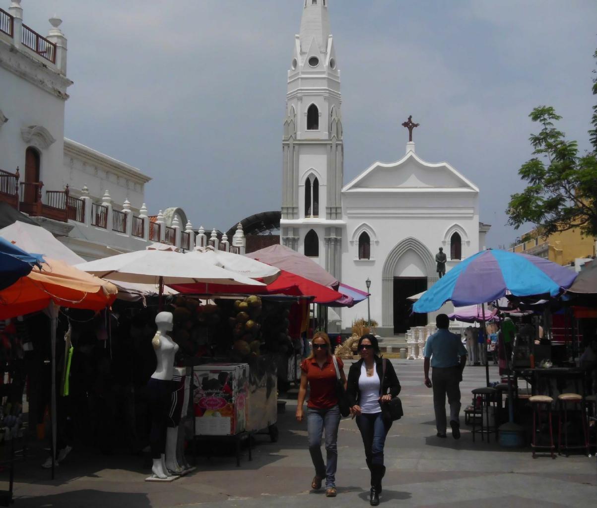
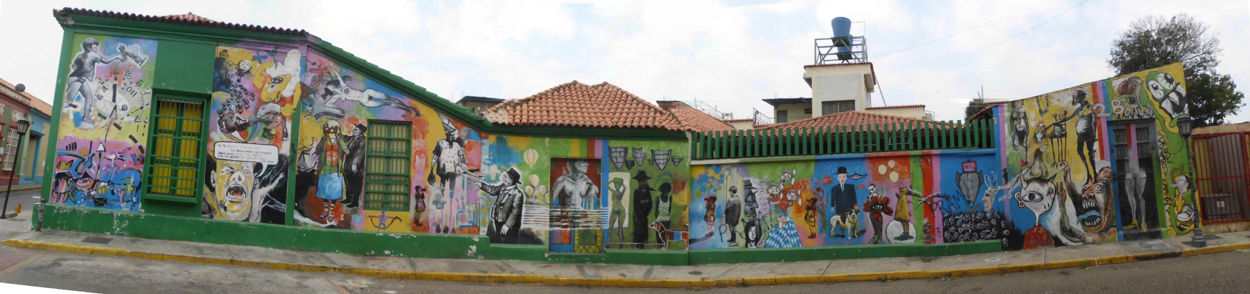
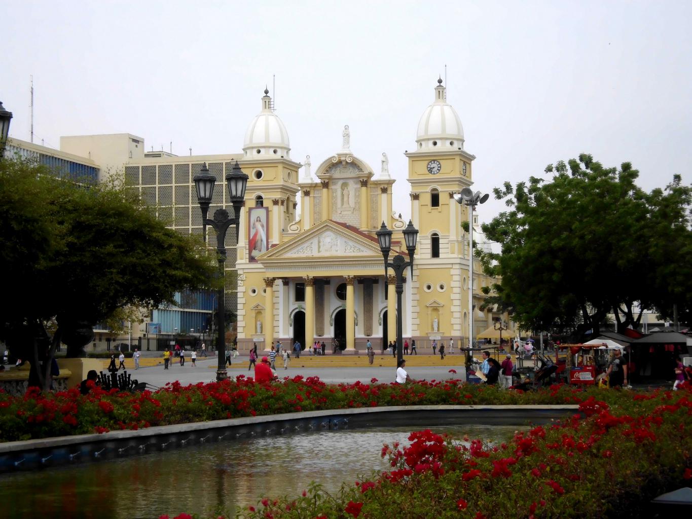
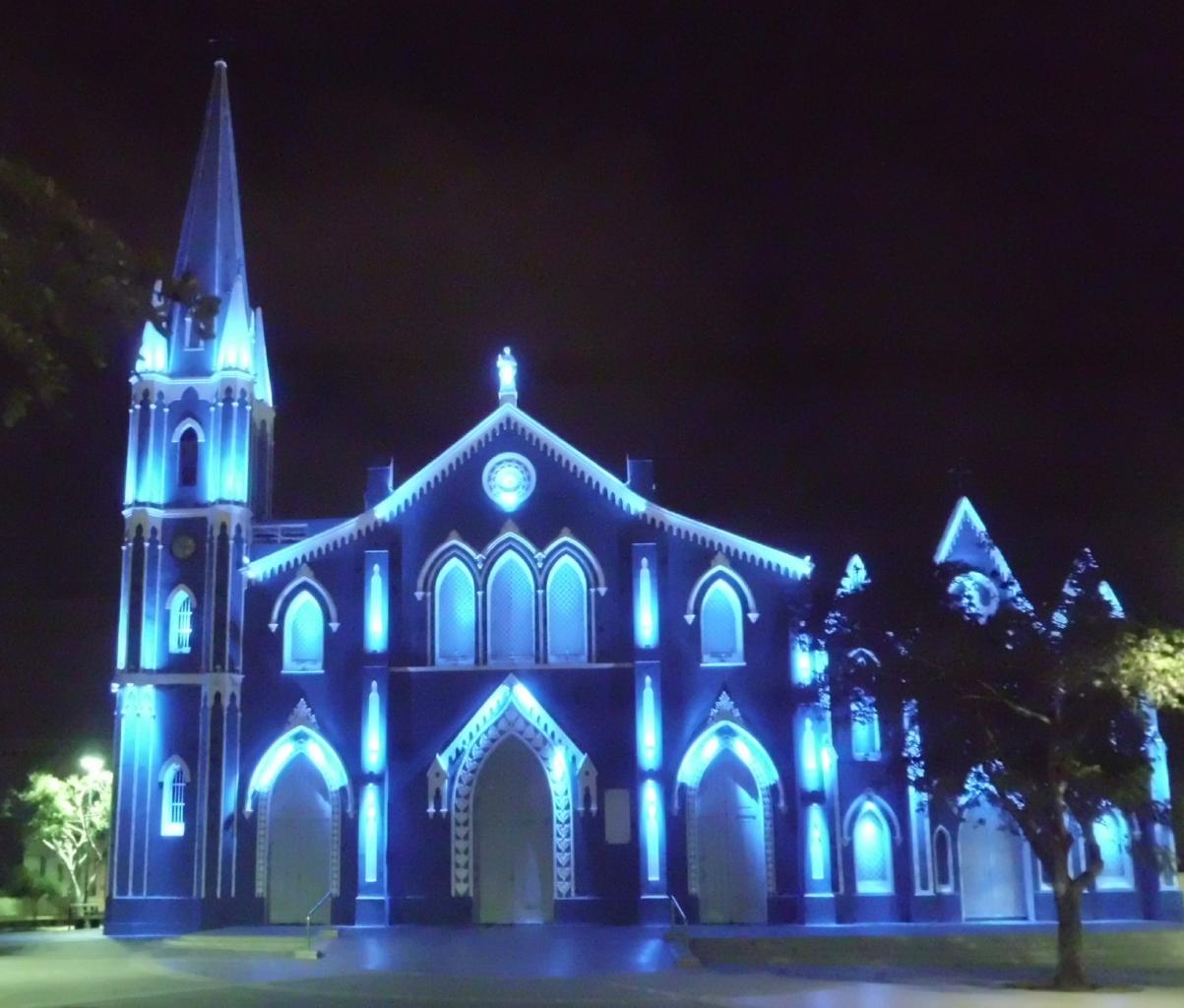
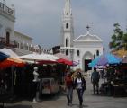
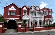
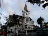
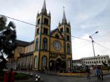
February 10, 2013 − Granada, Nicaragua
Twice a week, there's a ferry from Isla Ometepe to Granada,
a city of about 100,000 on the northeast shore of Lago de Nicaragua.
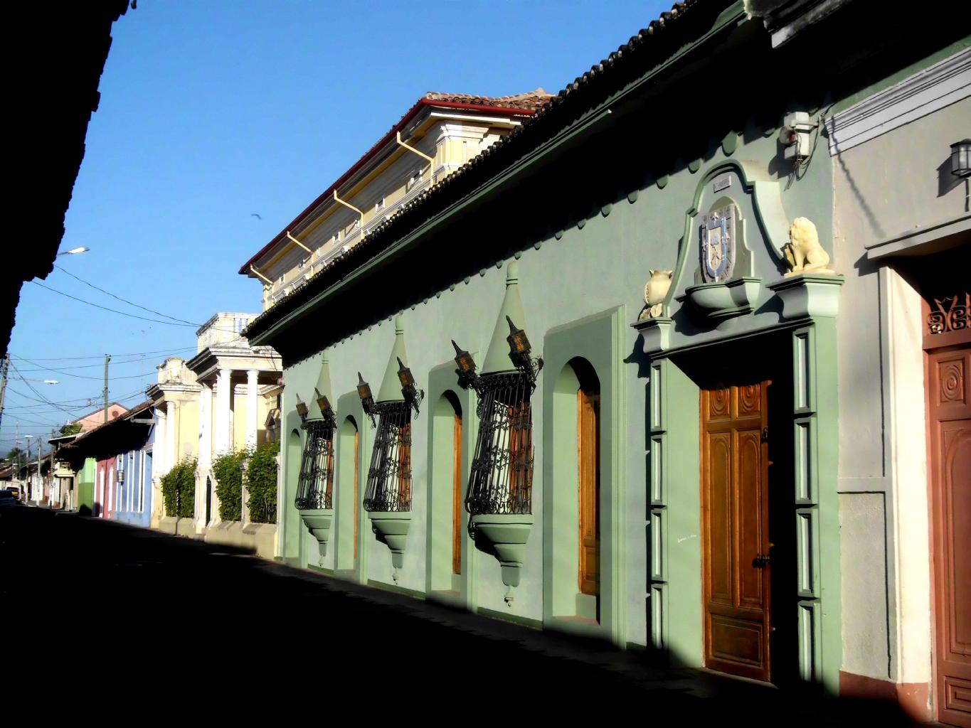
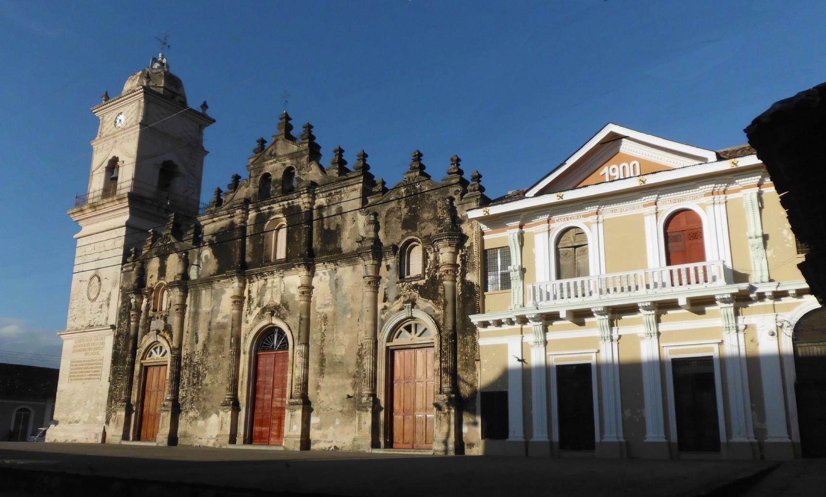
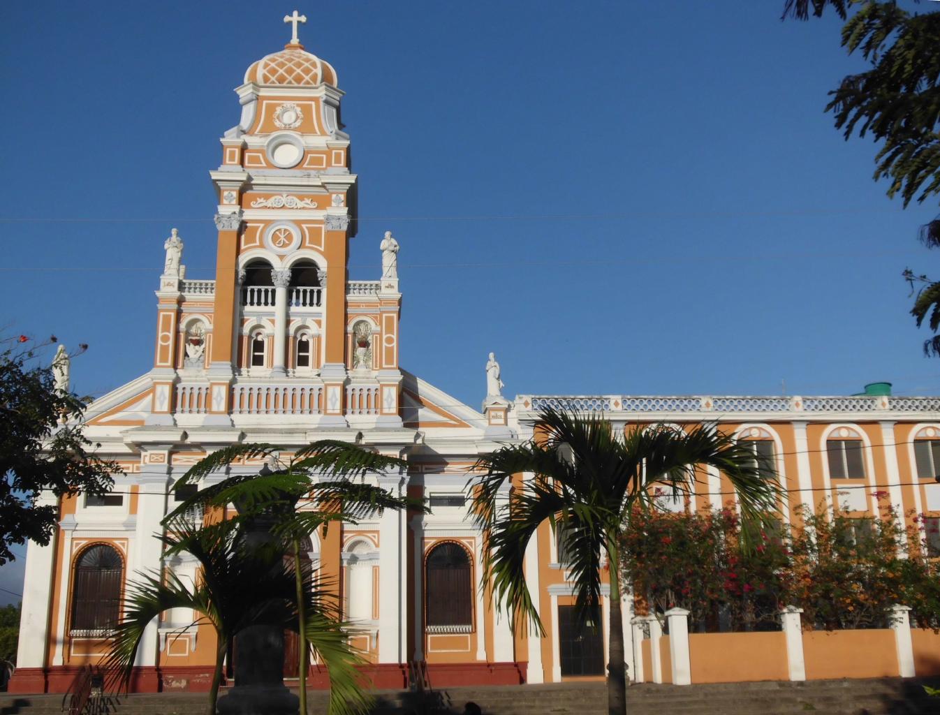
Founded by the Spanish in 1524, Granada is a treasure of
restored colonial buildings,
elegant churches,
charming streets,
friendly people,
and great places to eat, drink and sleep.
Granada is a gem, surrounded by spectacular scenery −
just the sort of place one might hope to find on a tour of Central America.
|
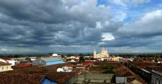
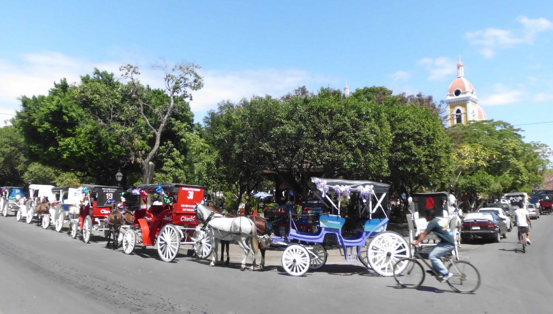
Granada, Nicaragua
|
Parque Central
|
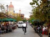
Calle La Calzada
|
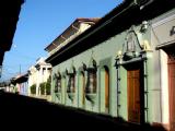
My street
|
|
Finally, here's the bad news about Granada.
Because it's paradise at a bargain,
it'll soon be discovered.
Though there aren't many tourists here,
word will spread that Nicaragua − and Granada especially − is wonderful.
I've seen North American real estate agents
taking videos of Granada's beautiful colonial homes, many of which are for sale.
Five years from now, Nicaragua may become "too popular".
If you'd like to see one of Central America's unspoiled destinations,
visit Granada soon.
|
|
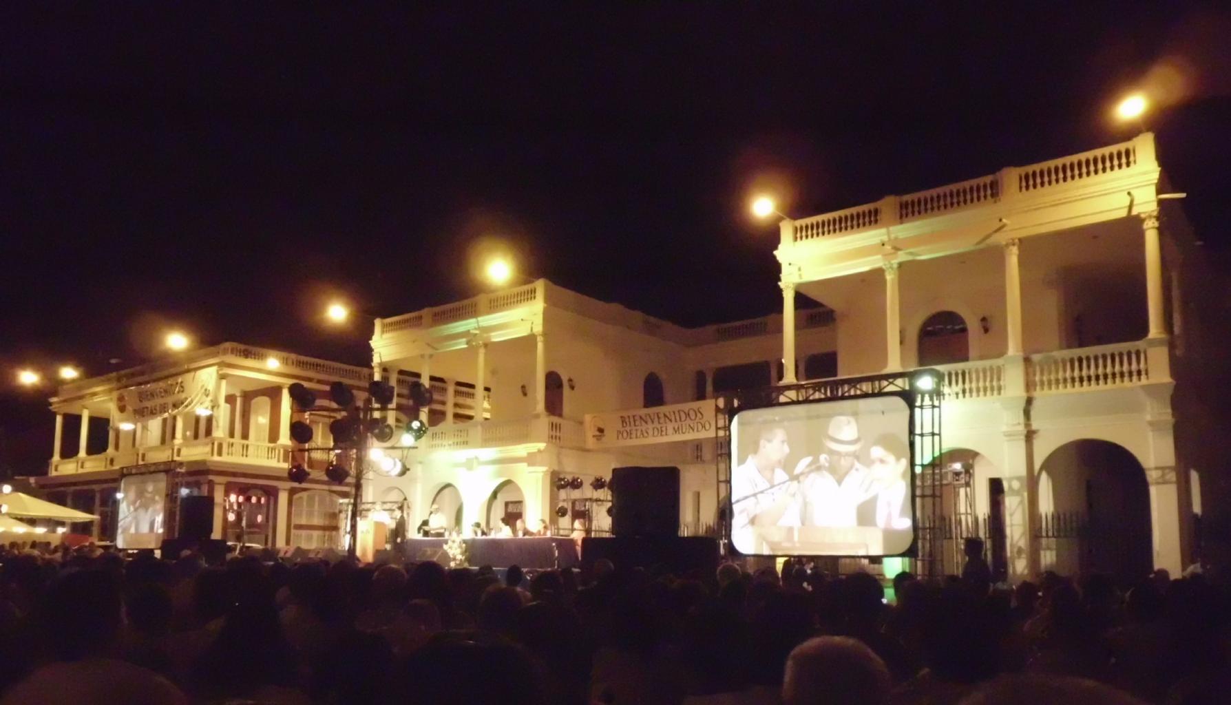
Anoche, me senté en el Parque Central debajo
de la luna y las estrellas y escuché dos horas de poemas,
leidos por los mismos autores.
La gente estuvo encantada por los poemas en
francés, alemán, italiano, inglés, ruso, sueco,
hebreo, árabe, chino, japonés, y por supuesto espańol.
Fue maravilloso escuchar tantos idiomas
sobre una tarina unica.
La noche terminó con un concierto de
Carlos Mejia Goday, quien cantó
las canciones revolucionarias.
Todos cantaron juntos con él.
|
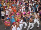
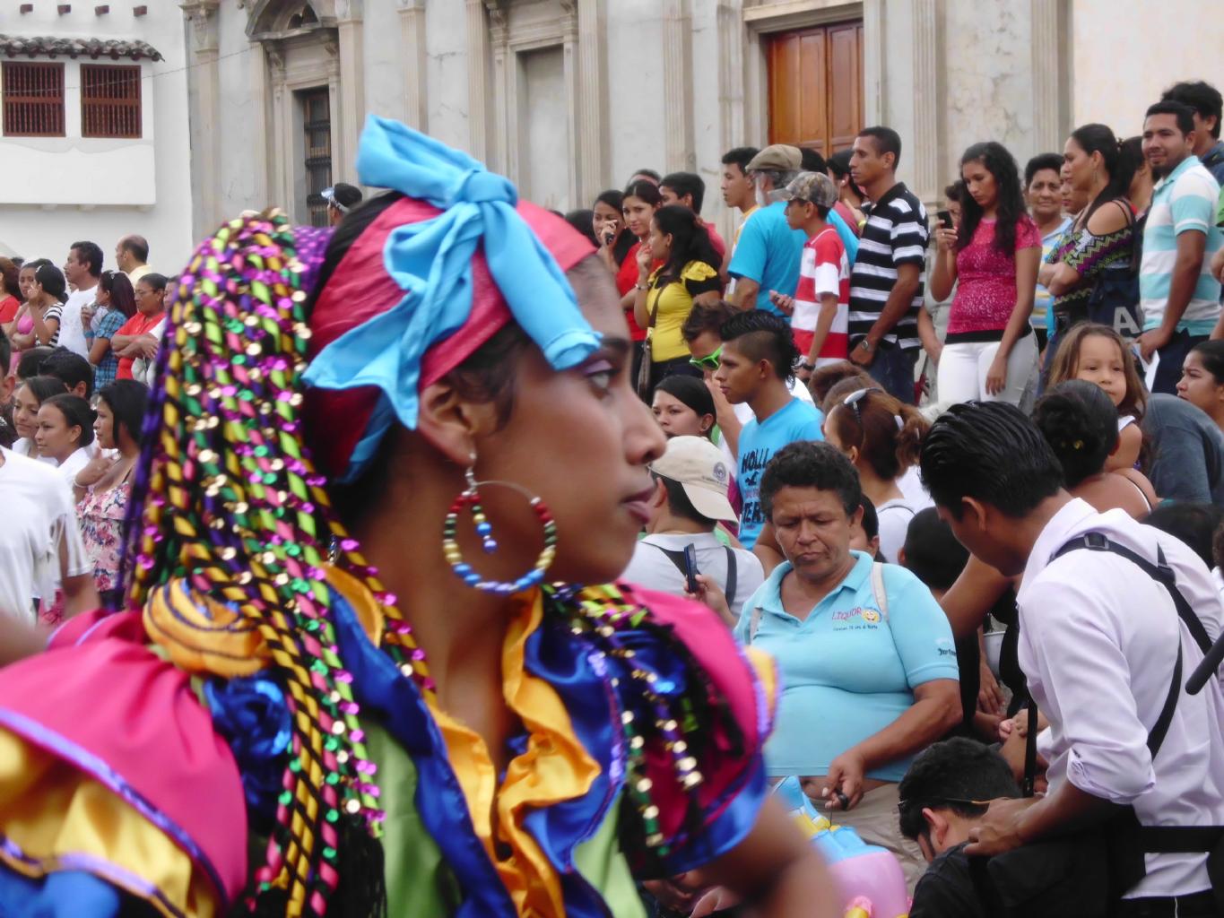
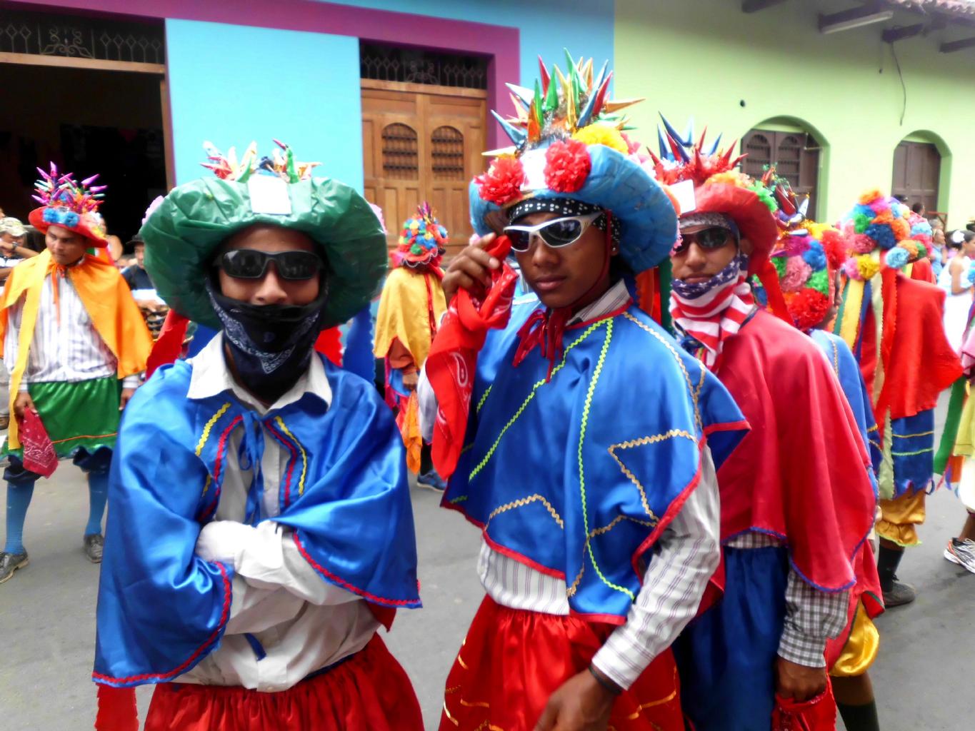
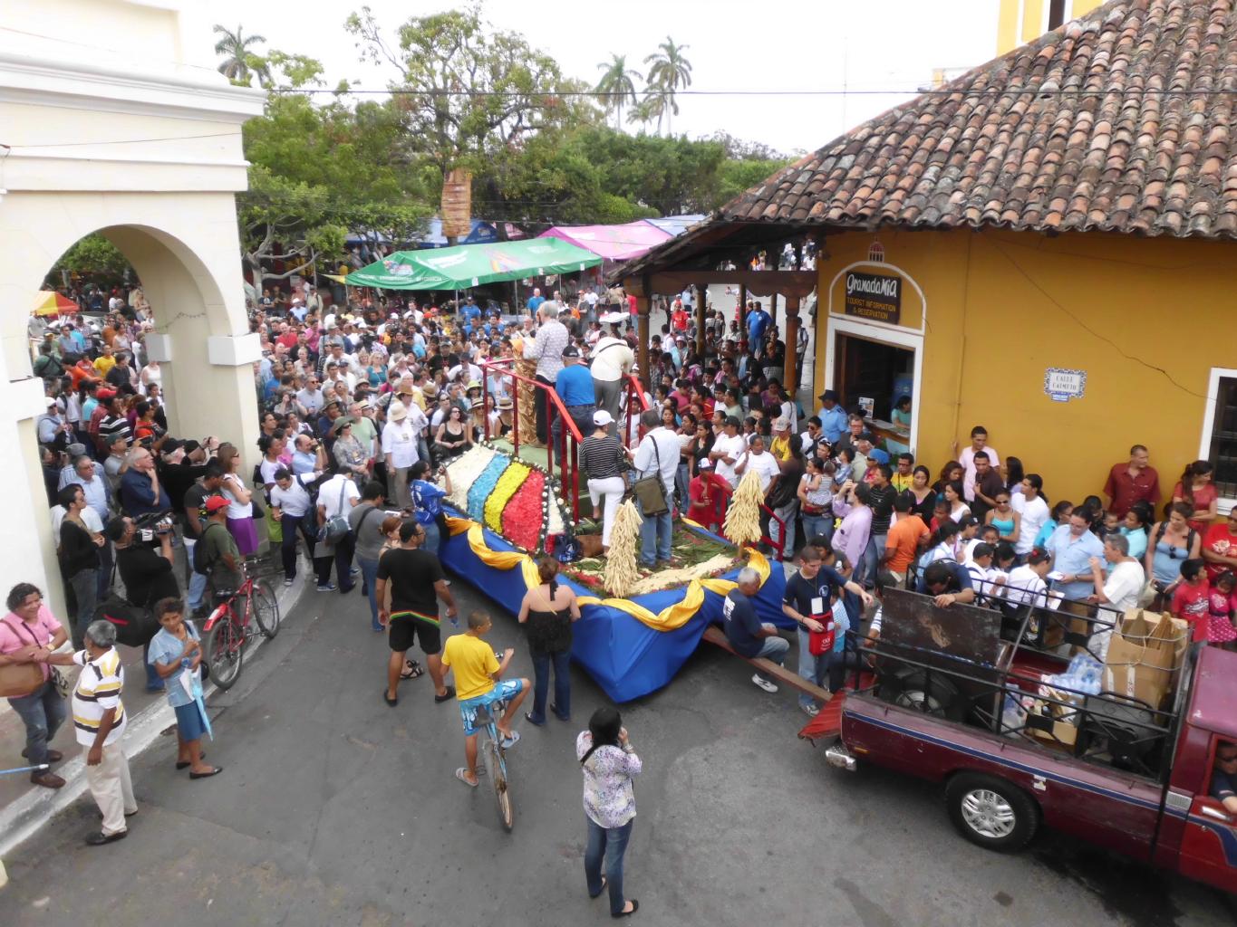
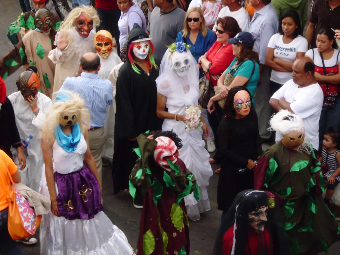
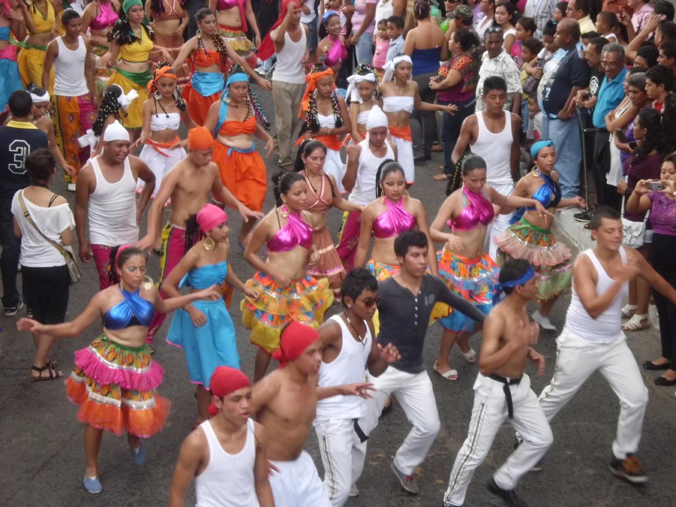
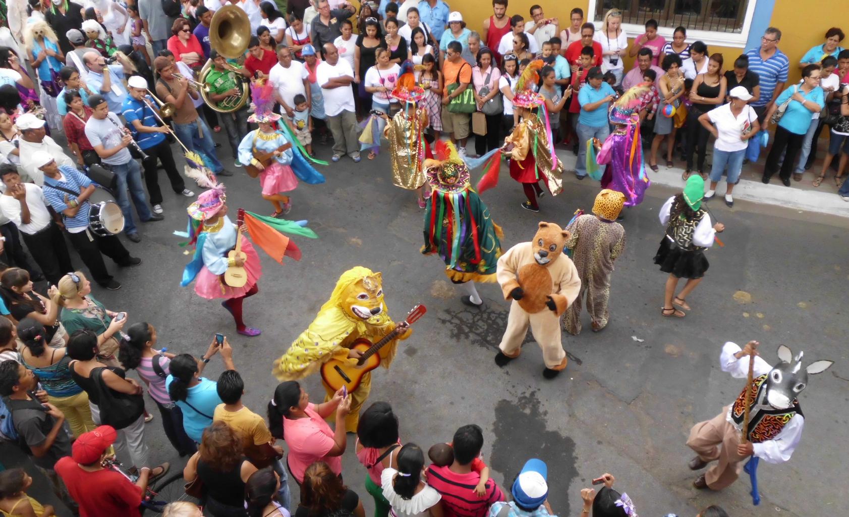
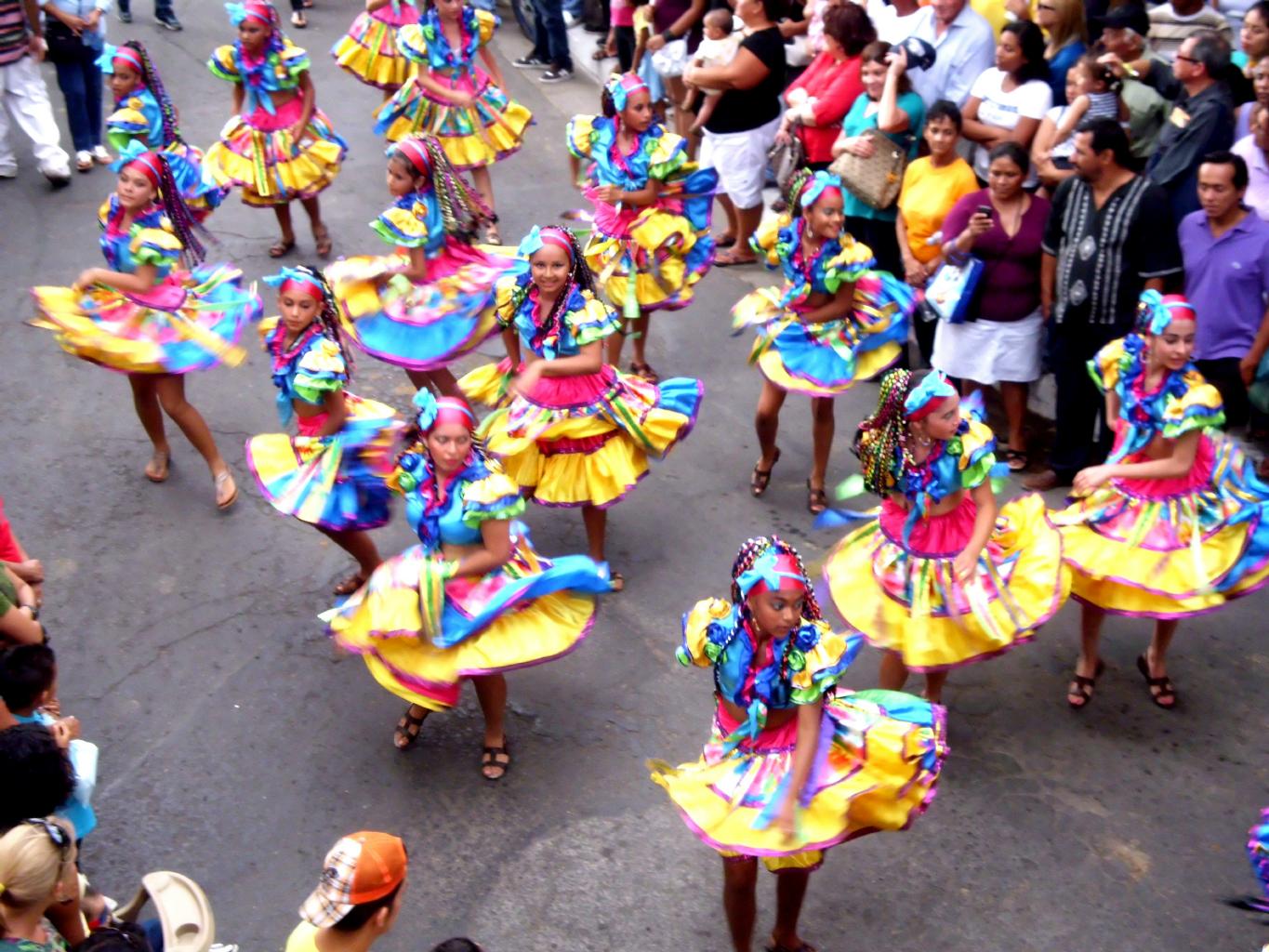
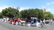
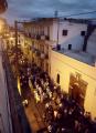
Dancing in the streets
|
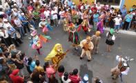
More dancing
|
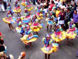
Dancing all day
|
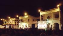
Poetry in the plaza
|
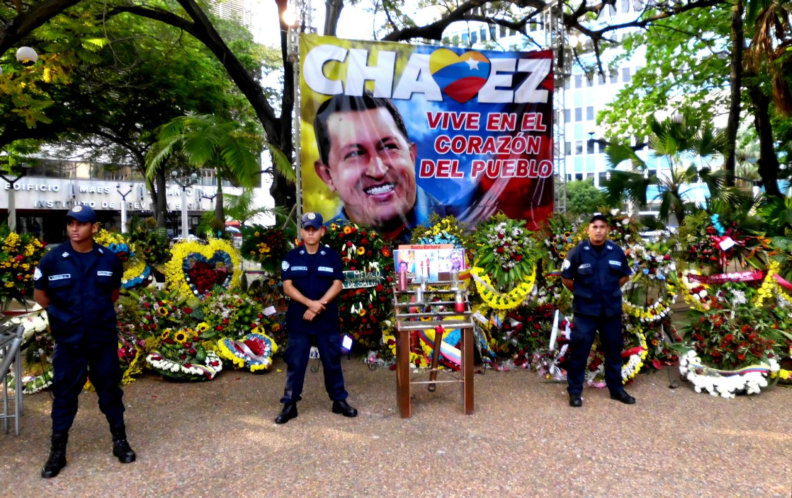
March 16, 2013 − Venezuela and Curaçao
Do you know how Venezuela got its name?
When Spanish explorers first arrived here,
they found natives living in stilt houses on Lake Maracaibo,
traveling from village to village by canoe.
Reminded of Venice, Italy, the Spanish named this country
Venezuela, meaning "little Venice".
And now you know.
Maracaibo used to be a quiet fishing village and beach town
on the Caribbean coast.
Everything changed in 1922 when oil was discovered here.
Since then, Maracaibo's oil fields have been Venezuela's #1 export.
Today, this busy city drives the economy and
the politics of Venezuela, with amazingly low gas prices:
8 CENTS PER GALLON!
Besides oil, the other thing that Maracaibo is famous for is the
Catatumbo Lightning phenomenon
which lights up the sky 300 nights per year and looks awesome on
youtube videos.
I came to Maracaibo to see the lightning, but there wasn't any.
Why? According to a local tour guide,
the lightning ceased on the night of March 5th,
the night that Hugo Chavez died.
|
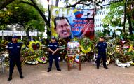
Tributes to Chavez
|
Iglesia de San Francisco
|
Colonial architecture
|
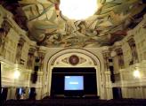
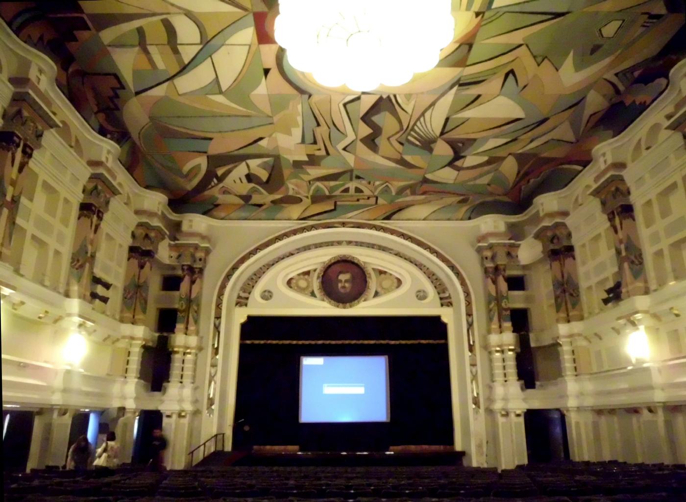
El Teatro Baralt
|
|
So, instead of seeing lightning shows every night,
I've been strolling around this funky, colorful city
admiring flower arrangements and memorials to Venezuela's
much loved late president.
The security forces, who can be a bit intimidating,
are now on flower duty.
It's a nice use for their talents.
Getting into Venezuela wasn't easy.
I came by bus from Colombia.
Venezuela's official policy seems to be to discourage tourists −
especially Americans.
At the border, I had to do a lot of talking (in Spanish, of course)
to prove that I had a legitimate reason for visiting Venezuela
in the form of an "invitation" from a hotel,
as well as an e-ticket out of the country three days later.
Happily, the immigration officers at the border were
the only unfriendly people I met in Venezuela.
Everyone else I met here was delighted to meet a tourist
− especially an American.
All the taxi drivers seem to have sisters in Florida,
and the ladies at the local deli have a nephew at the University of Oregon.
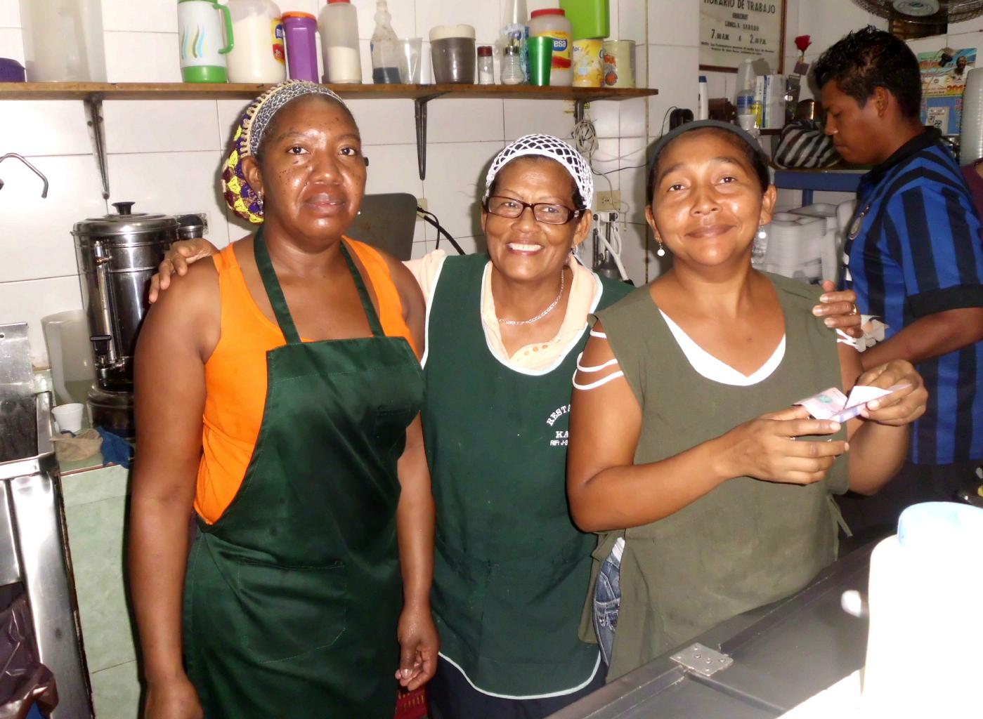
In Maracaibo, folks went out of their way to help me and to talk to me.
No one here speaks any English,
so this was a great place to practice my Spanish.
In the park by the lake, I learned how to ask for a strawberry slushie
− and it was delicious.
The official exchange rate is about 6 Bolivars to the dollar.
But with Chavez's death, there's uncertainty about
the future and the economy.
Consequently, black market money traders will pay 24 Bolivars per dollar.
At that exchange rate, Venezuela is a travel bargain,
cheaper than India or Malawi for similar products and services.
I had a hard time spending $60 US in Maracaibo in three days,
including my hotel room with private bath, restaurant meals,
taxis to and from various locations, plus museum entrance fees.
Maracaibo is a fascinating city with friendly people.
Yet, I think I was the only tourist in this city.
The clerk at my hotel had never seen an American passport before.
It was fun having a whole city to myself.
You have to travel a lot to find someplace as far off the beaten path
as this city is.
|
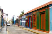
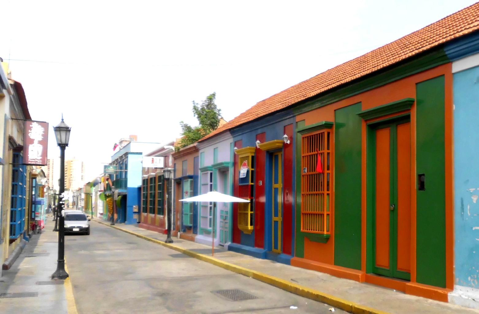
Colorful streets
|
The view from my hotel
|
Also part of downtown
|
|
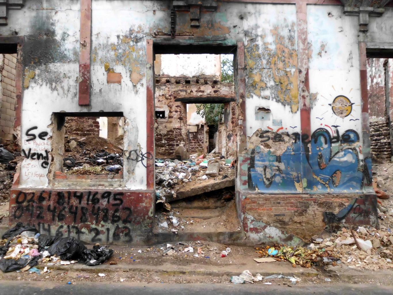
The big issue in Maracaibo is pollution.
The air quality is okay, thanks to steady on-shore breezes
that blow away the smoke from the oil refineries and the auto exhaust.
The problem is the lake.
It has about 10,000 oil wells, which leak and spill regularly.
Consequently, Lake Maracaibo is black.
I was interested to see a permanent exhibit at the city's art museum
which critiques the environmental impact of Maracaibo's oil industry.
Still, even though this country is politically backward (i.e. corrupt),
pollution is a serious problem,
the president is dead,
and there's uncertainty about the future,
I would recommend Venezuela.
Maracaibo looks like it hasn't changed for 50 years.
Good preparation for Cuba, I think.
I hope to come back here again sometime.
If so, I'll be sure to come in October,
which is said to be the best month to see the Catatumbo lightning.
|
An artist's statement
|
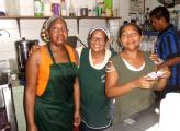
The deli ladies
|
Basílica de Chiquinquirá
|
Iglesia Santa Barbara
|
|
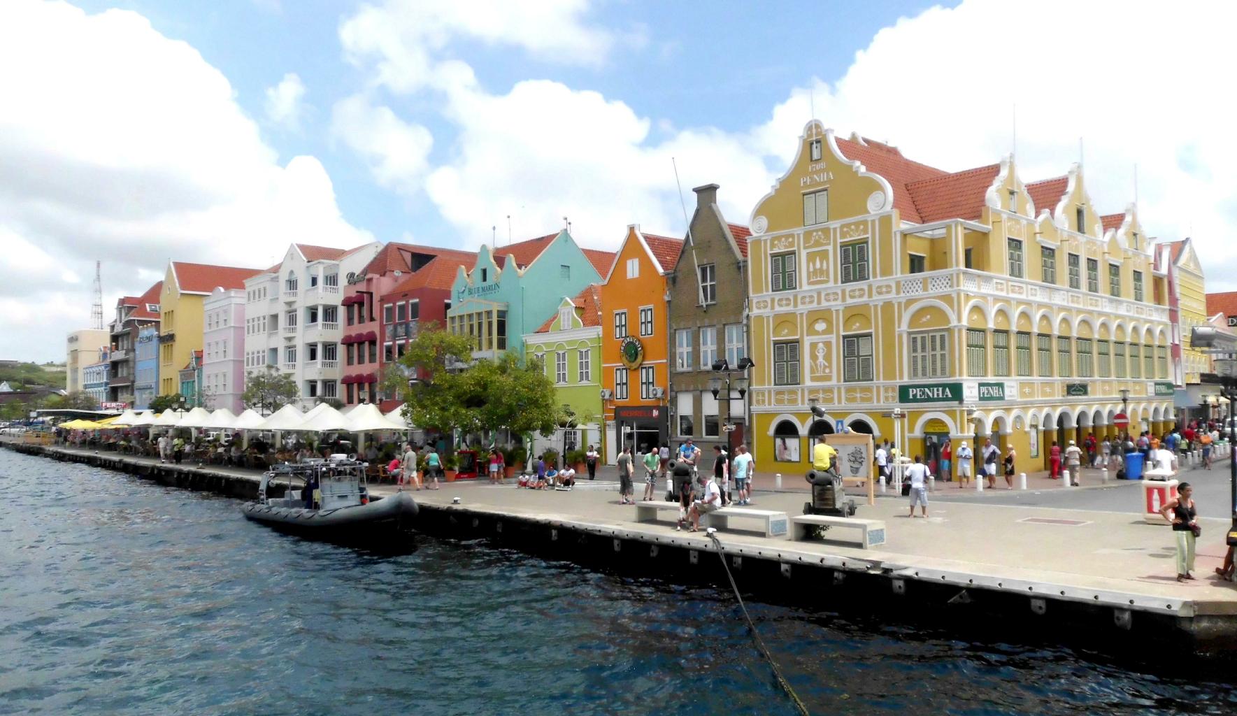
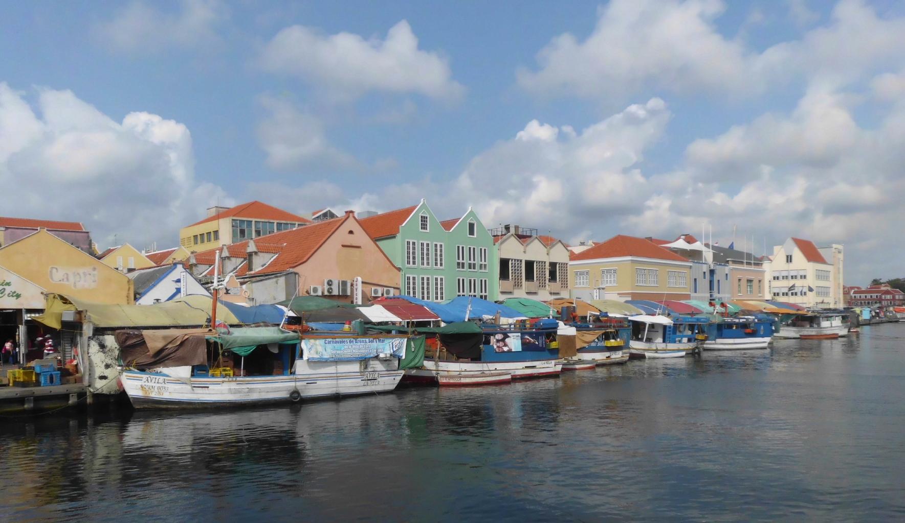
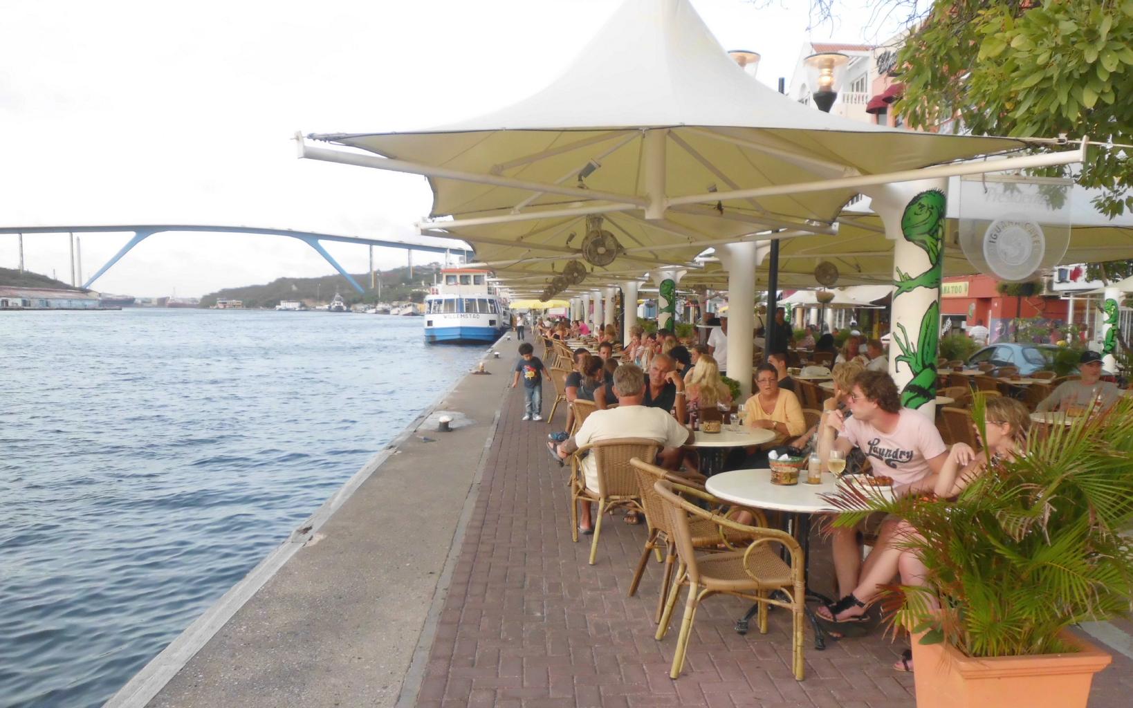
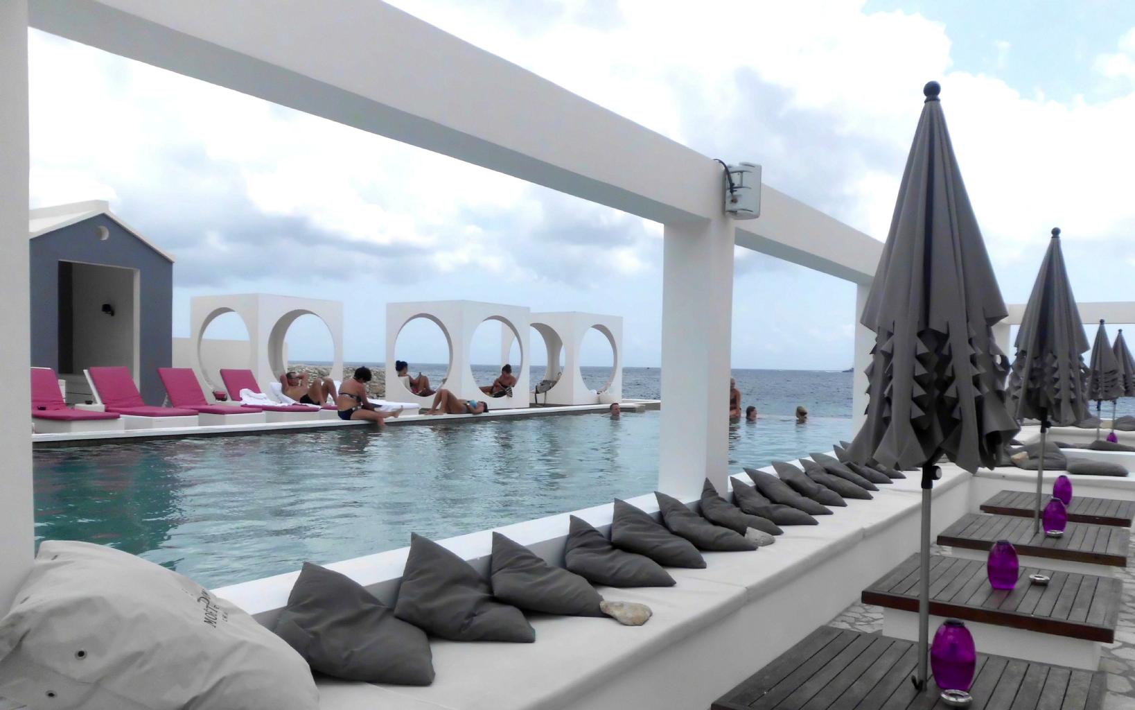
The biggest difference between Curaçao and Maracaibo
is that Curaçao is made for tourists.
Americans and Europeans flock to Curaçao's beautiful beaches,
elegant resorts, duty-free shopping, and European-style sidewalk cafes.
Every day, a different cruise ship is tied up at the mega-dock
to disgorge 5000 visitors to this tiny town.
I can see why people love this romantic and picturesque destination.
I enjoyed the scene for three days.
I stayed at the
Hotel San Marco & Casino,
which has a great location,
just behind this first row of buildings on the waterfront.
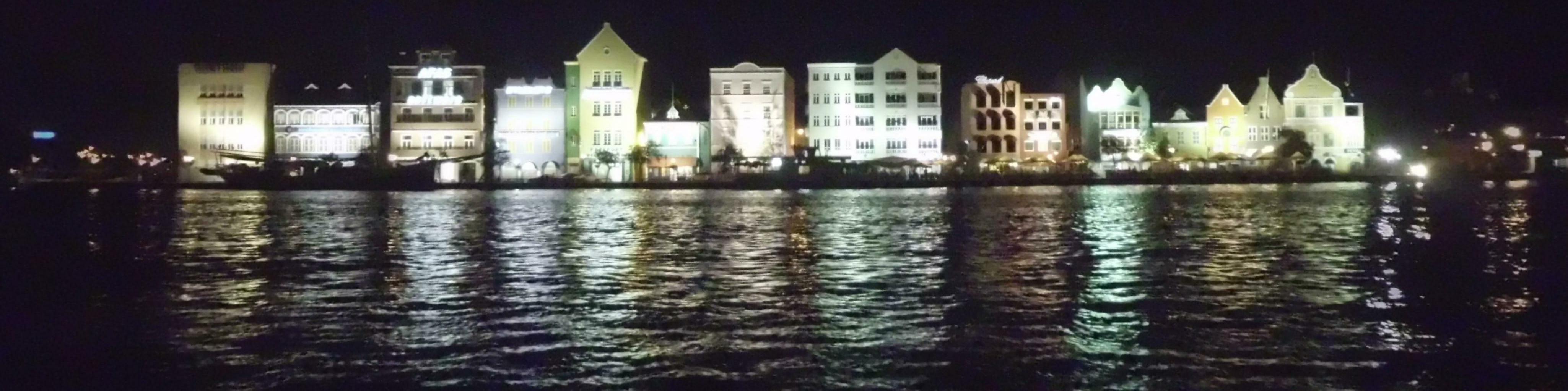
|
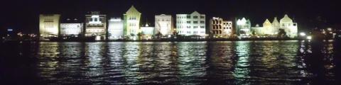
Evening in downtown Curaçao
|
|
Curaçao is the wealthiest island nation in the Caribbean.
My next stop will be the poorest nation in the Caribbean −
and perhaps in the world.
|
|
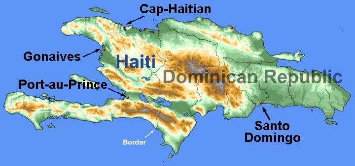
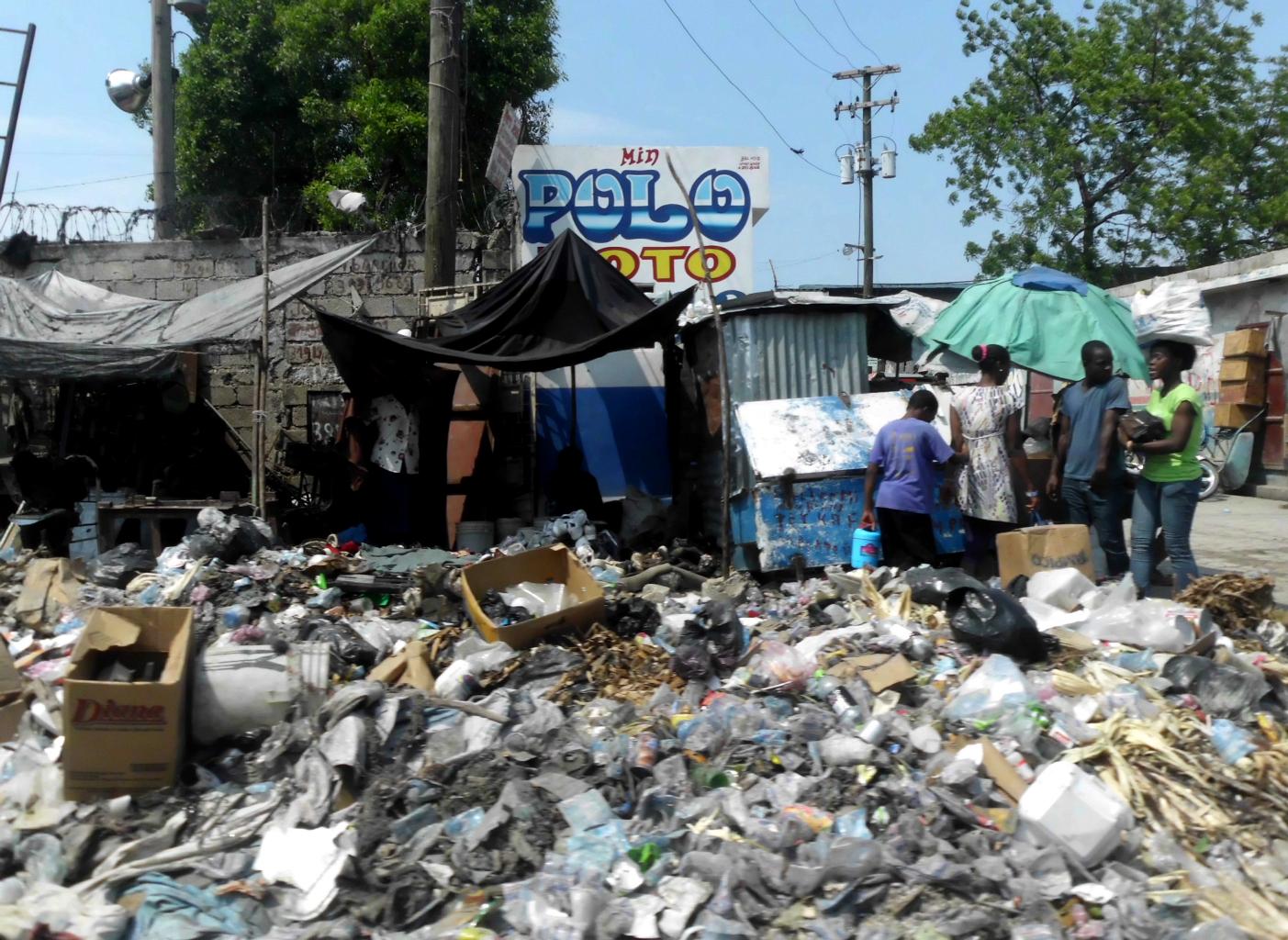
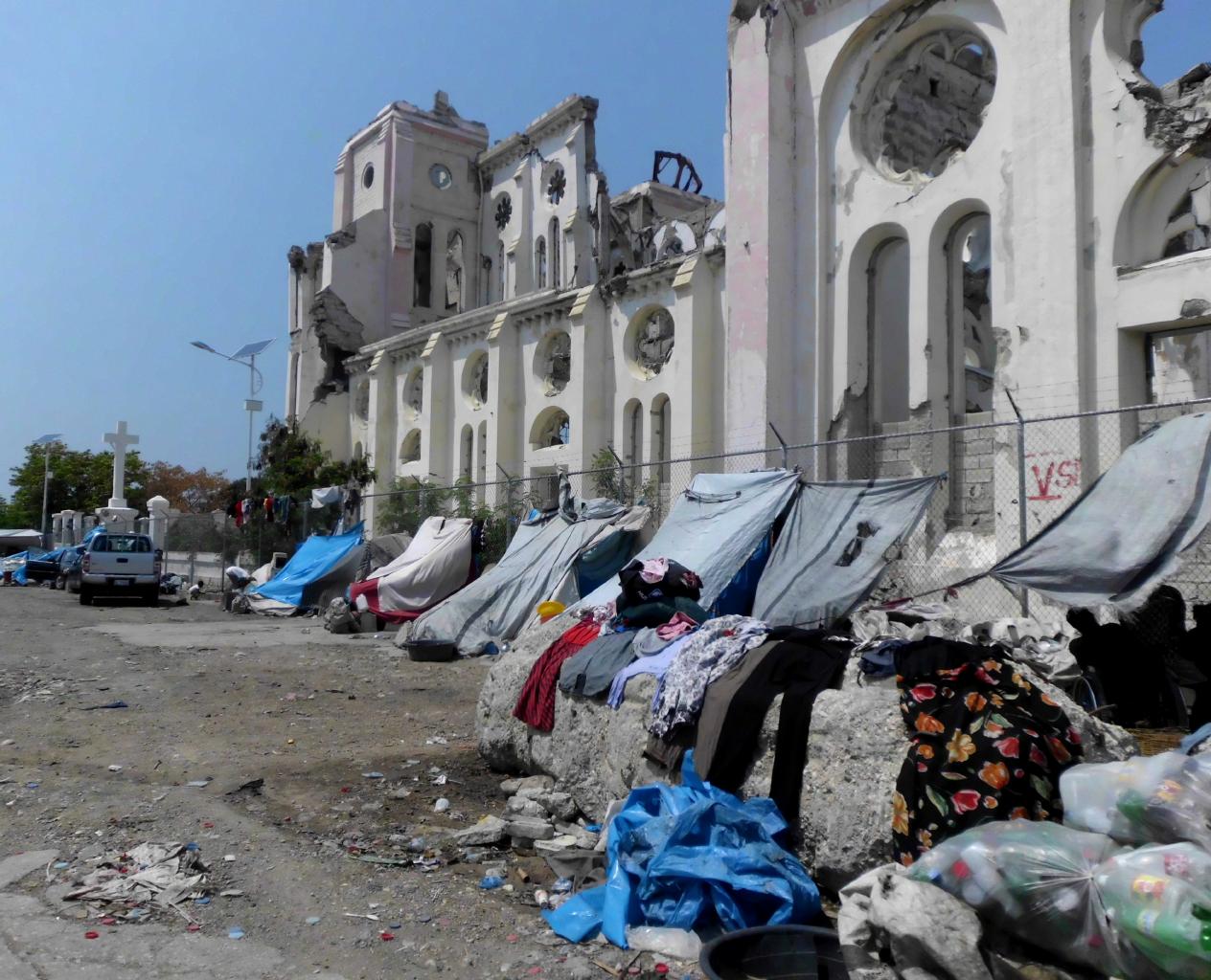
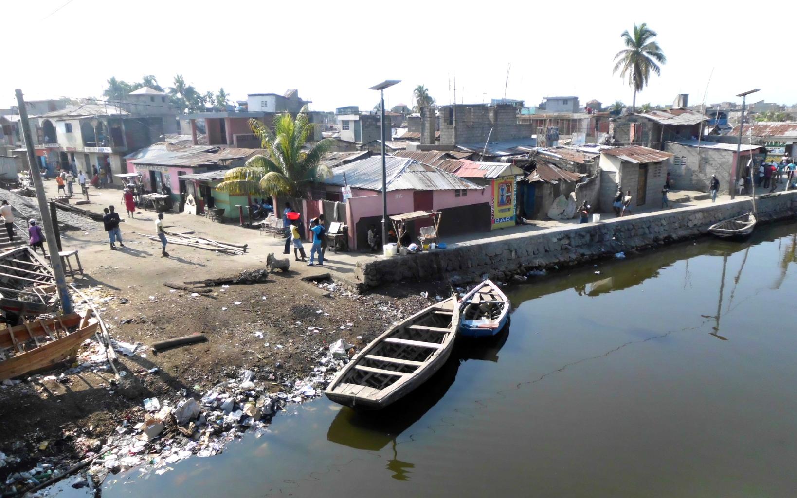
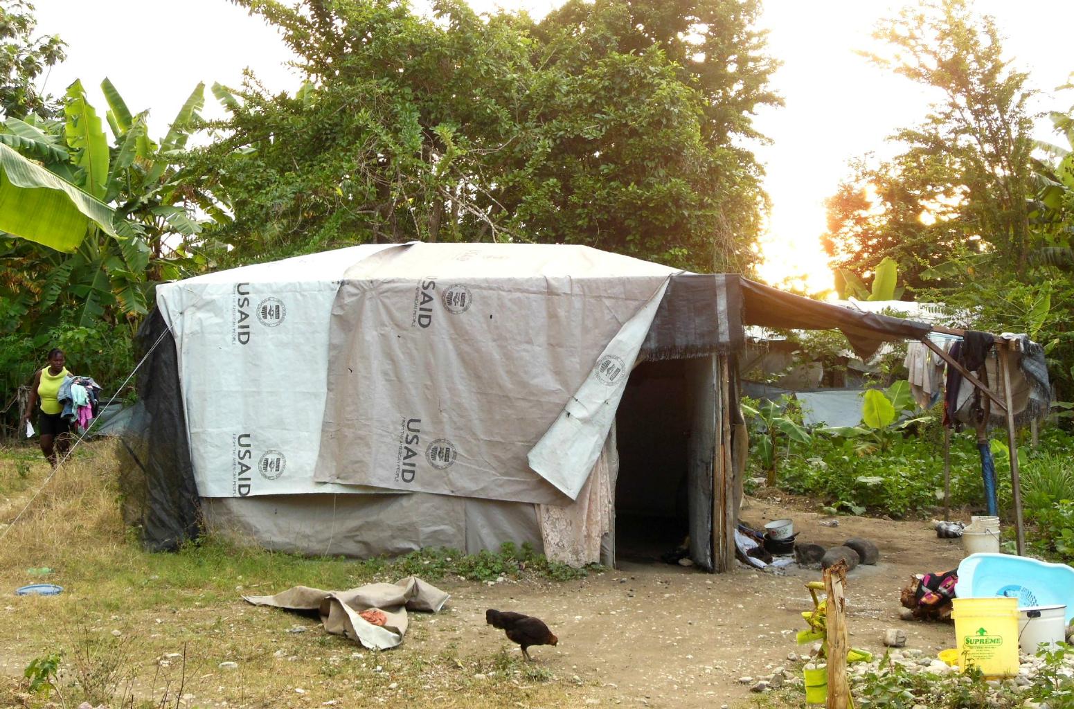
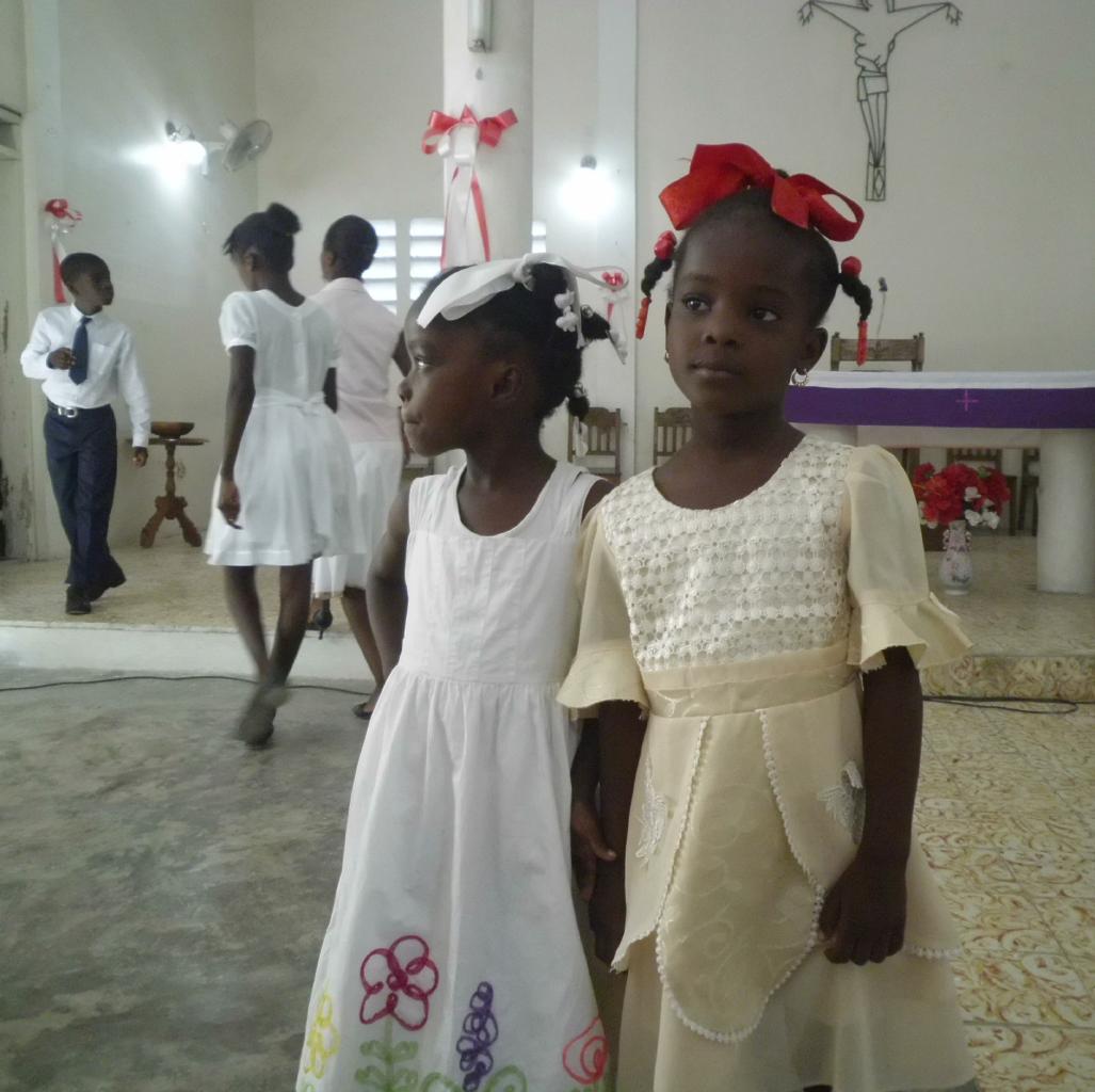
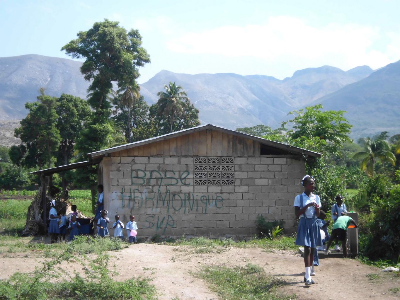
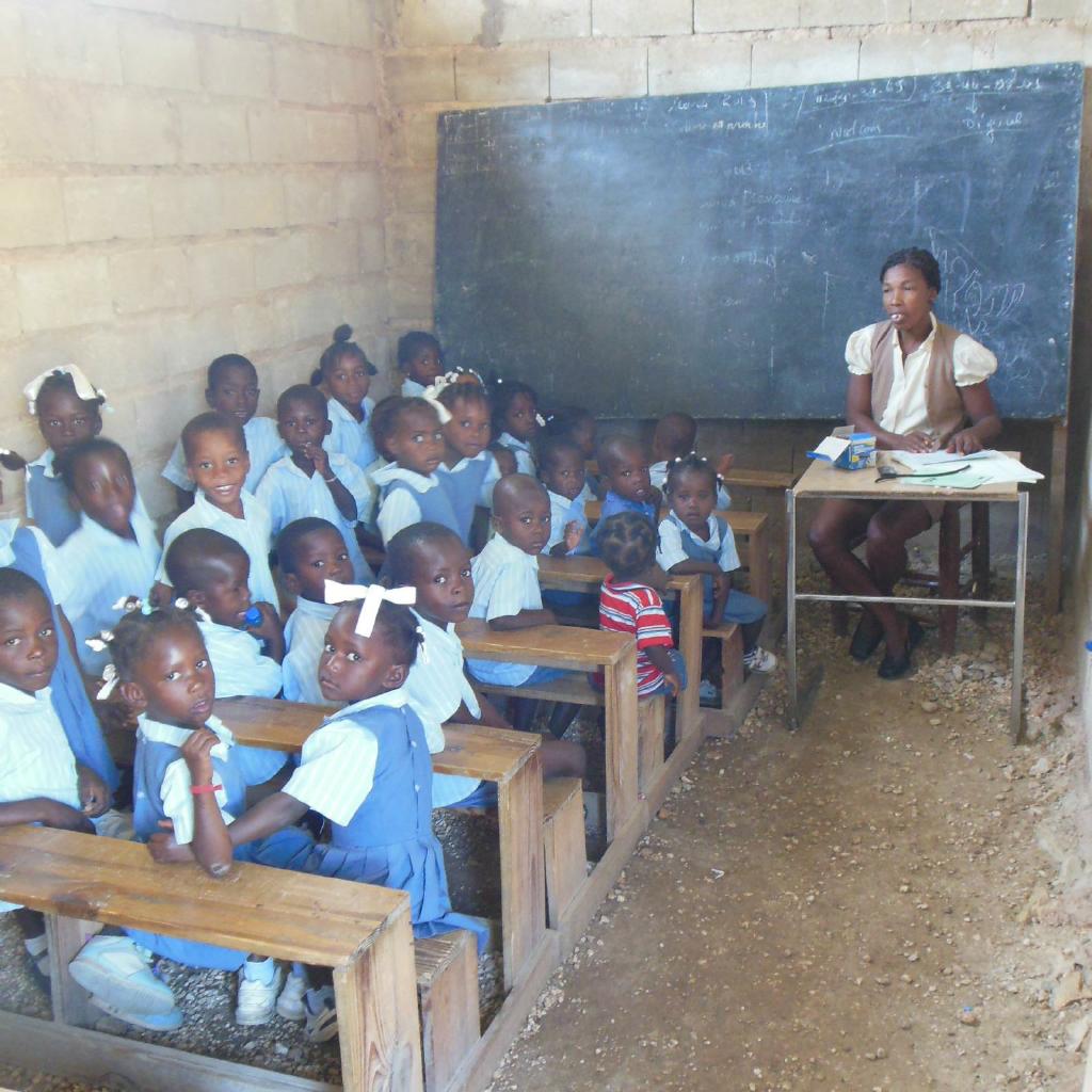
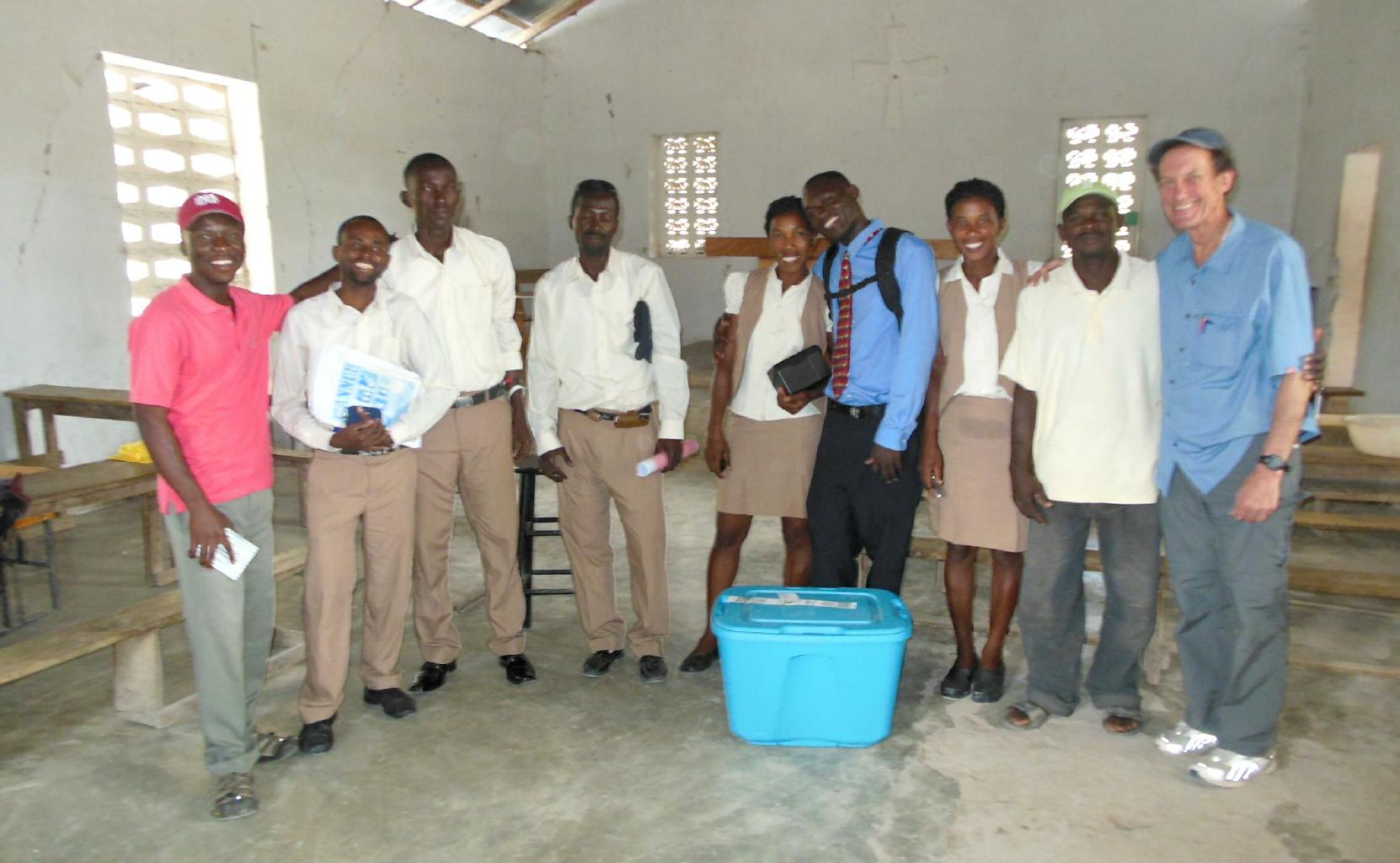
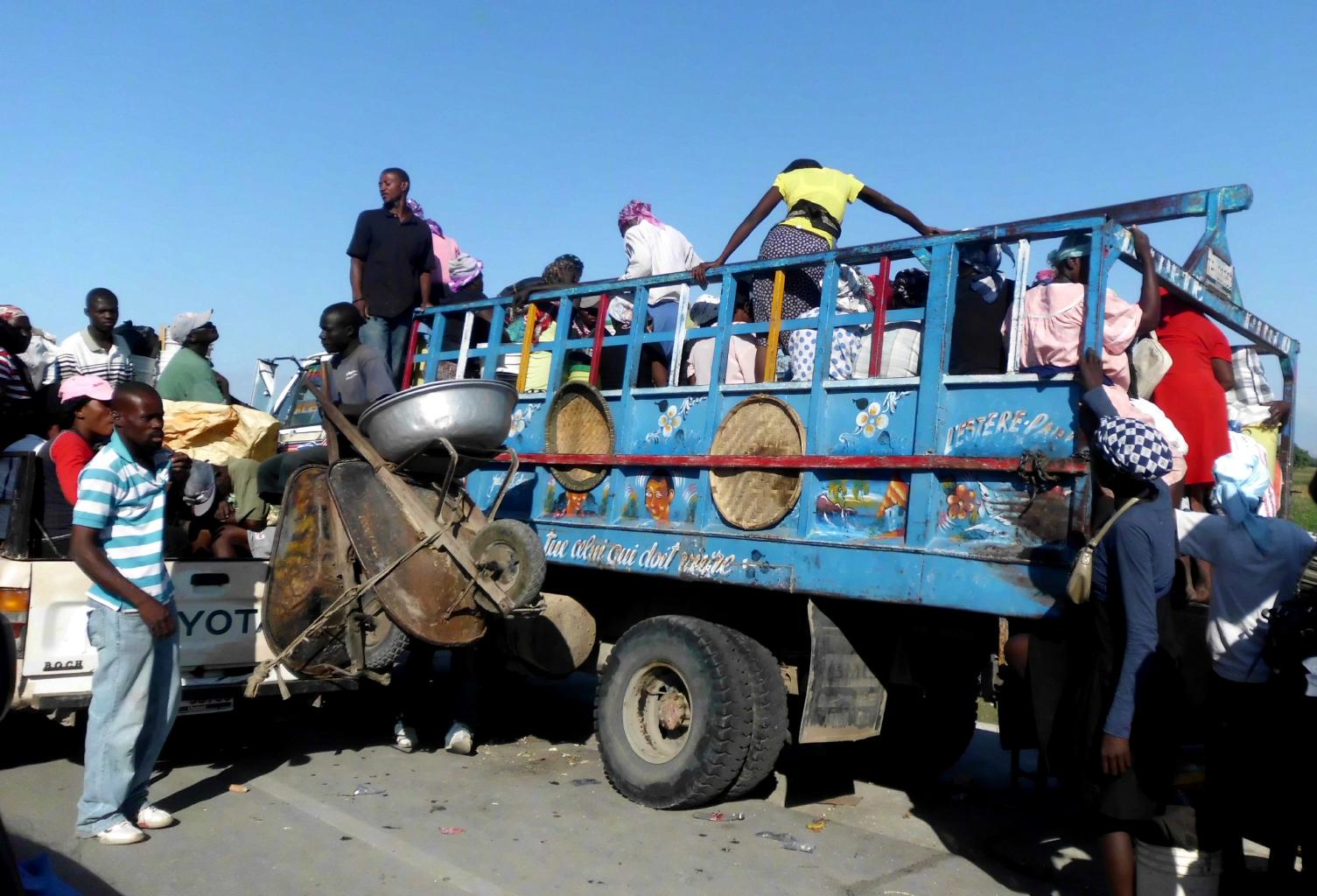
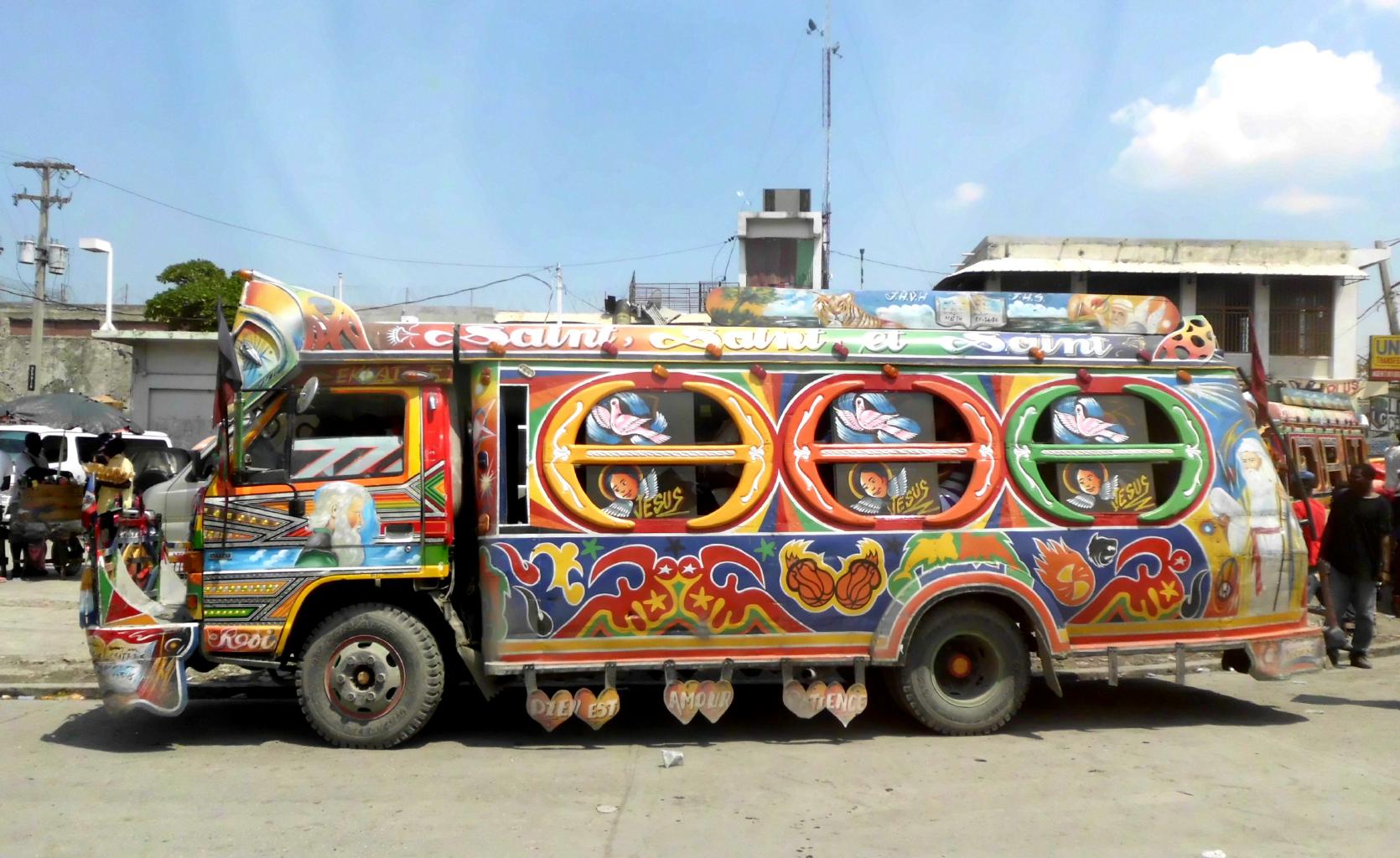
The school in Bayonnais hopes to move into new classrooms
in the next year or so if the money and materials can get there.
My role in all of this was to assess building construction
methods with respect to seismic engineering.
Sadly, the materials at Haitian construction sites are often substandard,
and buildings aren't always built according to the intended plans.
At least, when the new school building in Bayonnais is complete,
the students will have a roof over their heads that probably won't leak.
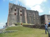
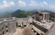
John and I took time out from our volunteering
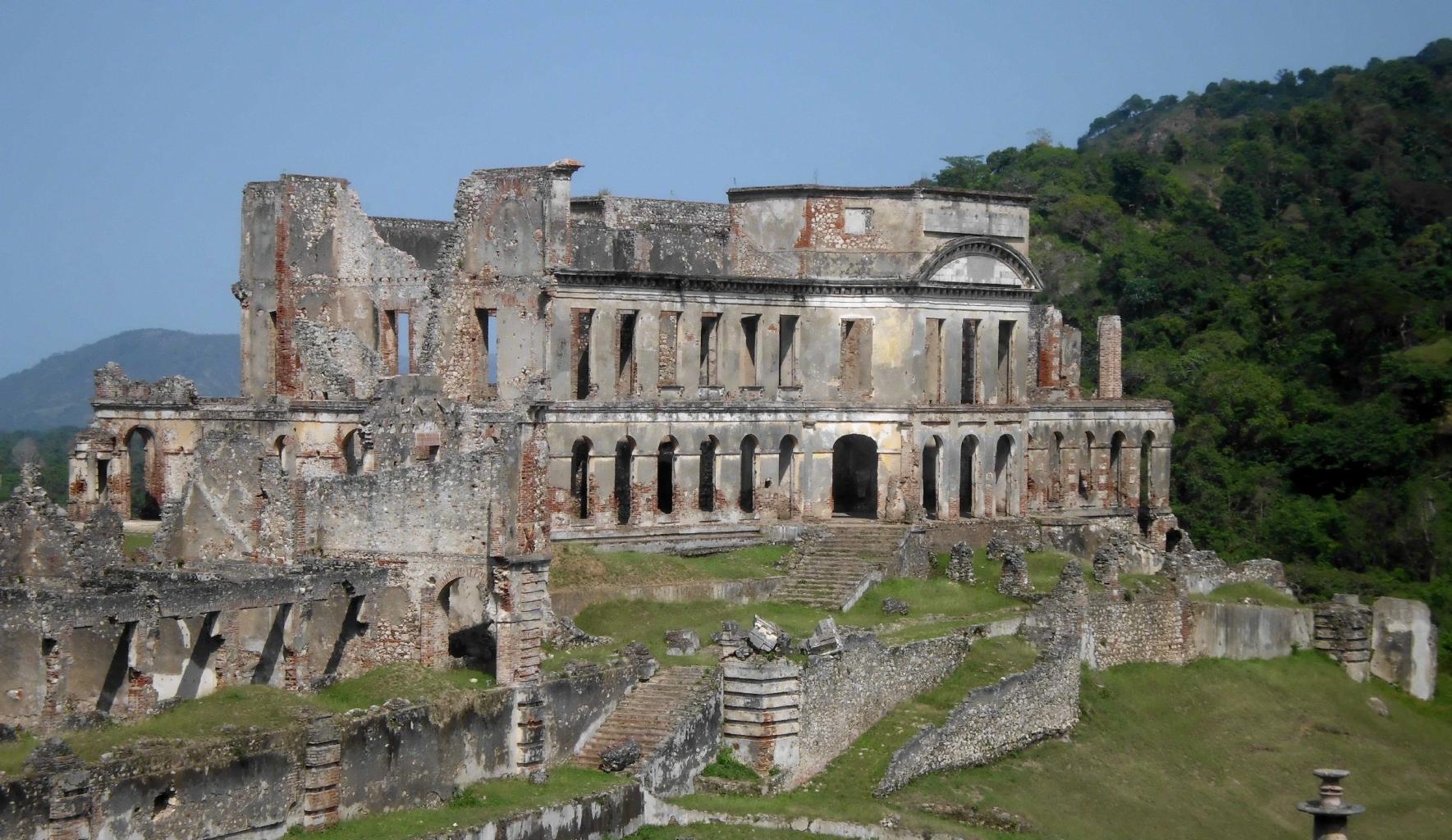
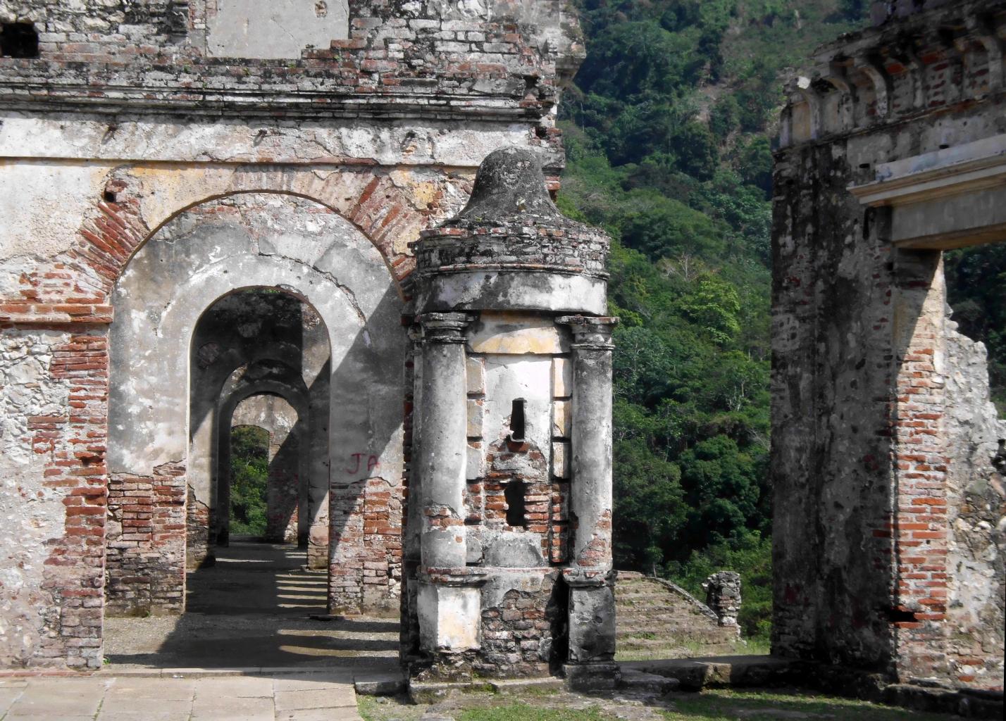
to visit Haiti's #1 tourist site:
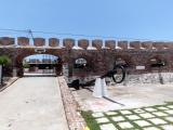
La Citadelle Laferričre.
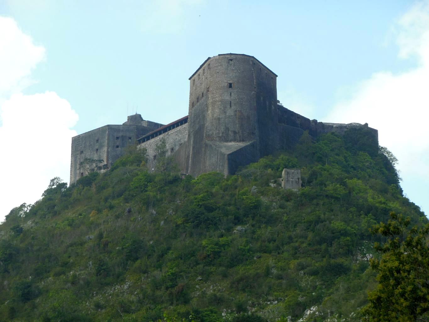
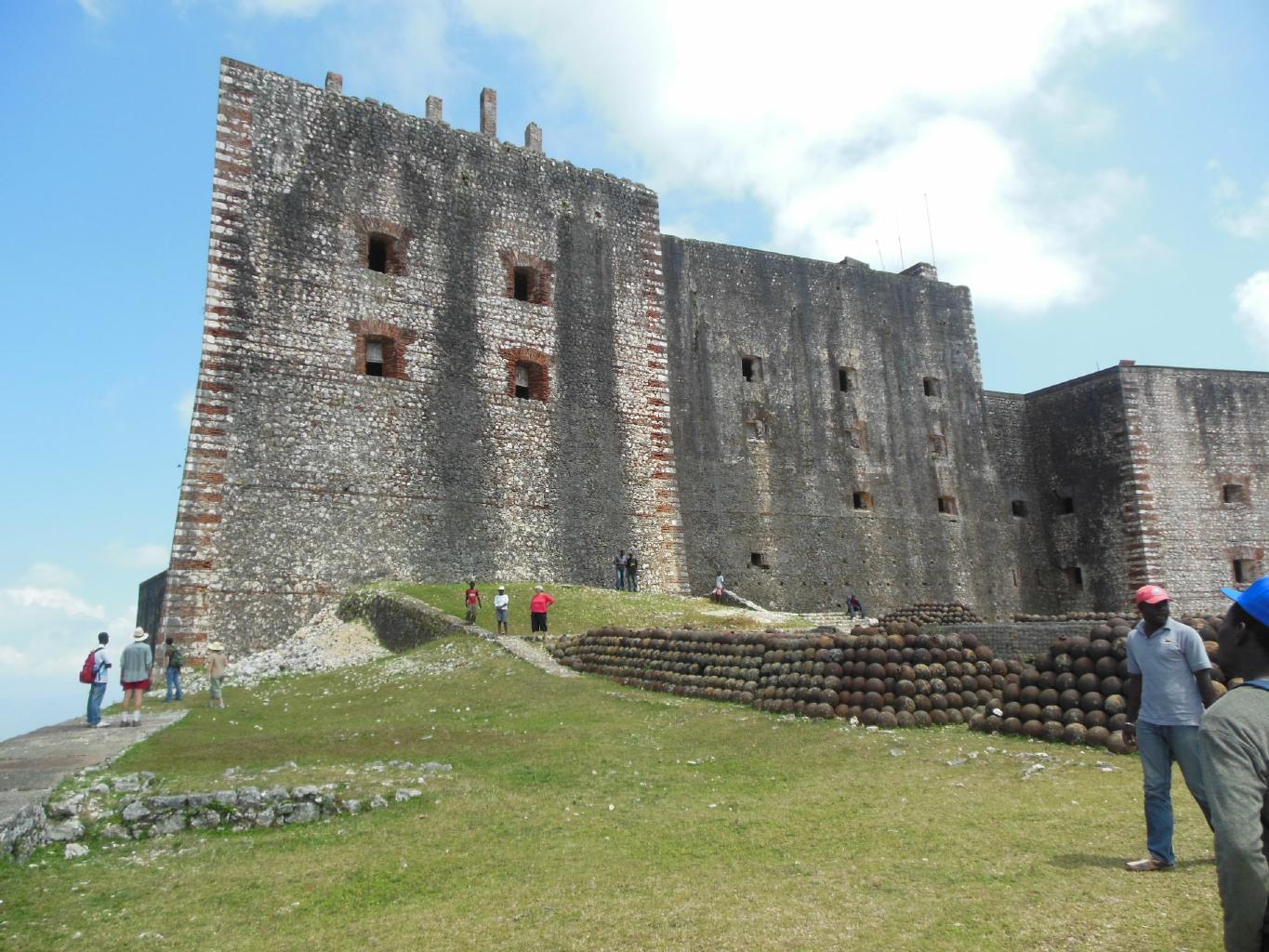
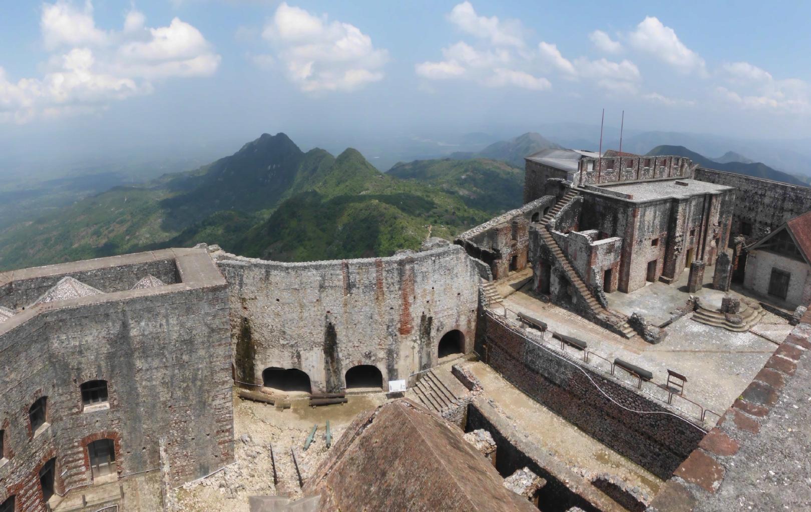
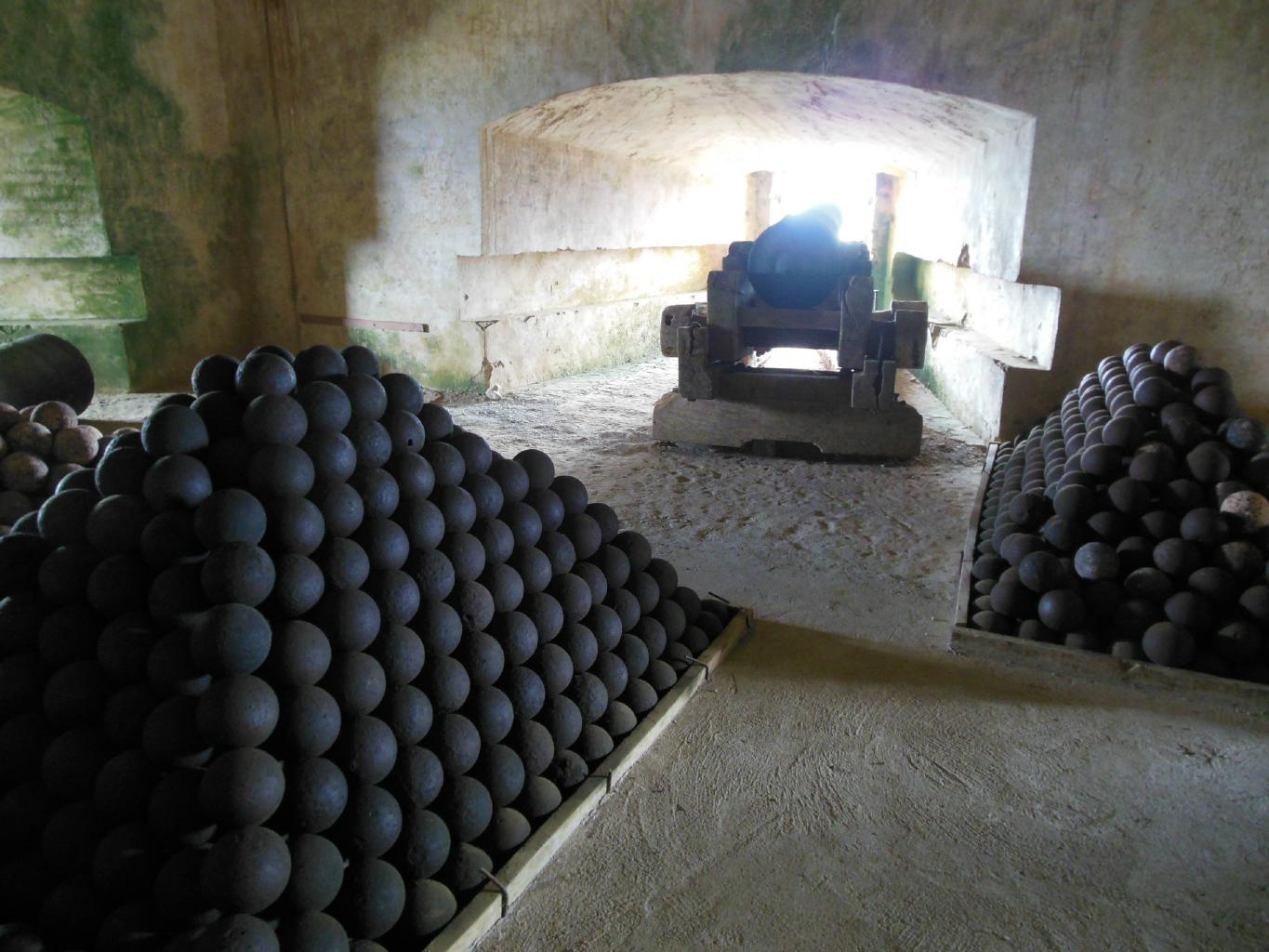
Haiti's slaves revolted against their masters in 1804.
Anticipating harsh retaliation by the French,
Haiti's self-appointed new leader, King Henri Christophe,
built one of the largest fortresses ever constructed
in the western hemisphere.
It took 15 years and about 2000 former slaves to build
this massive structure, with walls 40 meters high,
batteries for almost 400 cannons, and enough space to house 5000 troops.
Needless to say, the fortress was impregnable,
so the French never attacked it.
The fortress sits today on top of its mountain
with its cannons intact and cannonballs stacked in neat pyramids.
|
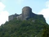
The Citadelle
|
40m high walls
|
Rooftop batteries
|

Cannons and cannonballs
|
|
After our week together, John flew back to the US and
I took a bus from Port-au-Prince to Santo Domingo,
the capital of the DR (Dominican Republic).
The border crossing was no worse than any border crossing
in central Africa.
After that, it is was smooth sailing through the DR
on a paved highway. Yay!
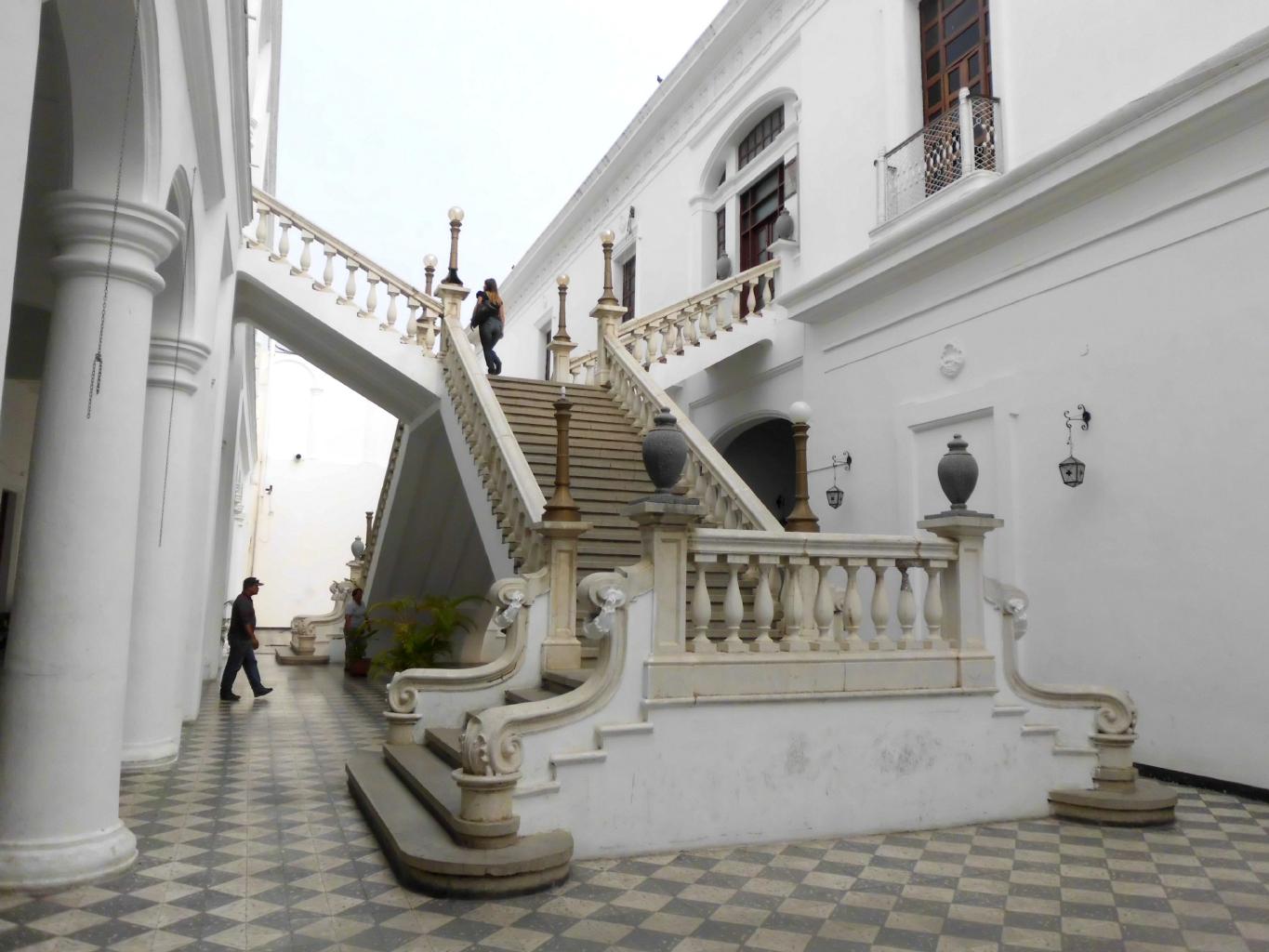
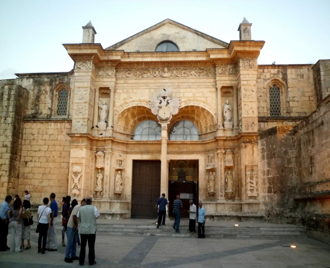
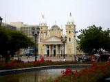
Founded by the Spanish on August 5, 1498,
Santo Domingo is officially
the oldest European city in the Americas.
(The Nicaraguans in Granada will be sorry to hear this.)
Santo Domingo is a natural deep-water port
on the lee of the island of Hispańola.
It was the logical shipping hub and center of operations
for the Spanish exploration of the new world.
Today, this town has a great vibe,
a nicely restored historic center,
and lots of places to eat, drink and sleep.
After being on the move for weeks, this seemed like a good place
to stop and relax for a while − and so I did.
|
Cathedral of Santa María
|

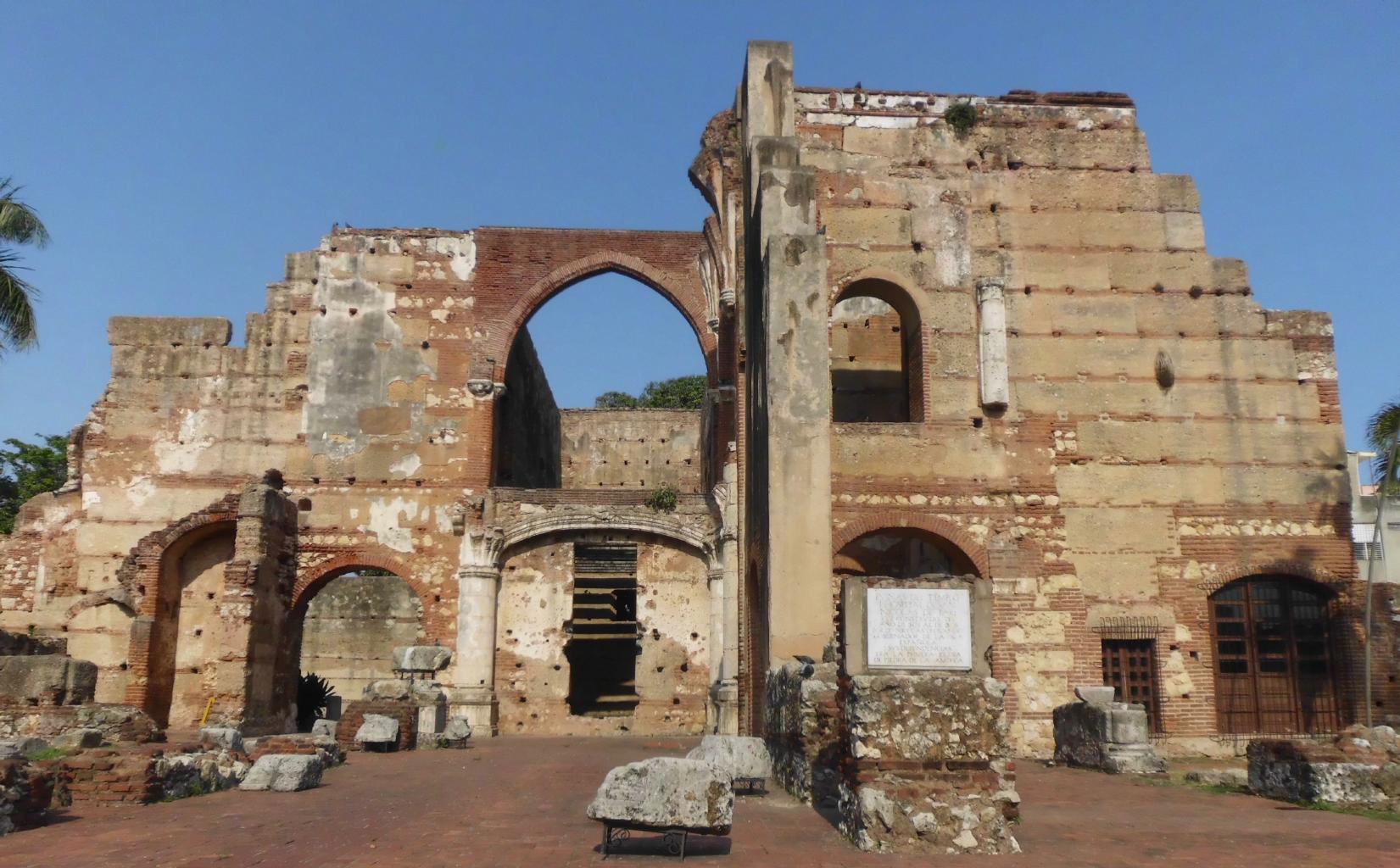
The first hospital in the Americas
|

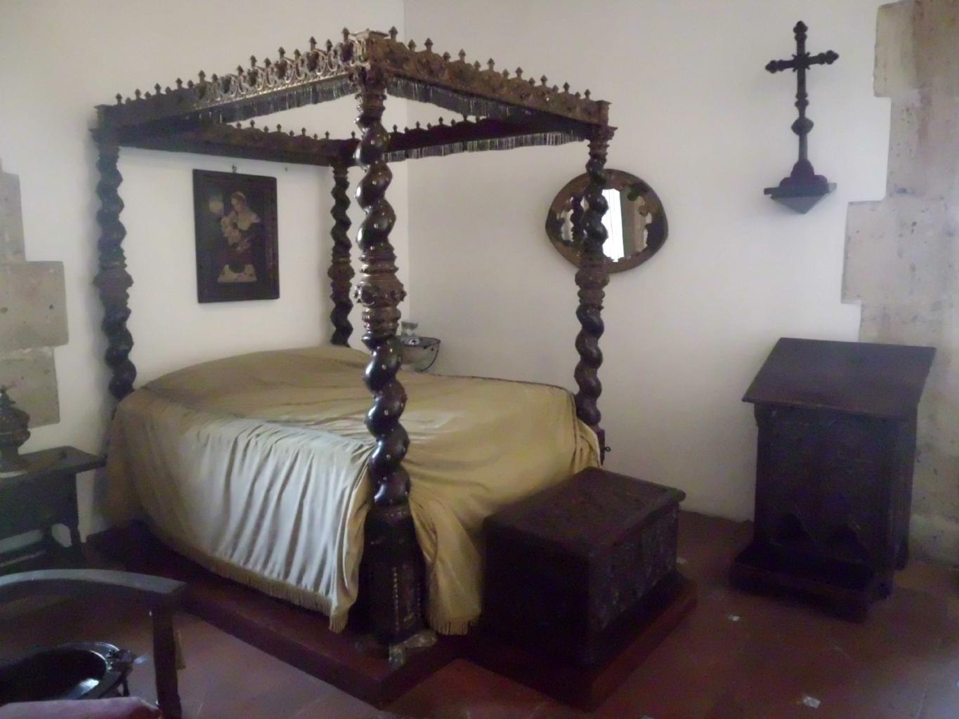
Where Columbus dined
|
Columbus slept here
|
|
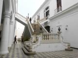
There're plenty of museums and historic sites to visit here.
The
Cathedral of Santa María la Menor, completed in 1540,
is the oldest cathedral in the Americas.
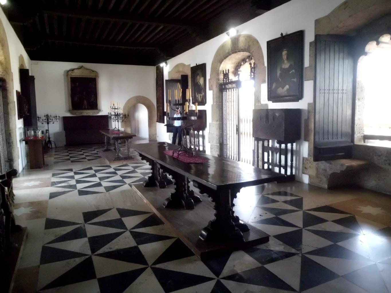
The
Alcázar de Colón was America's first castle and the home of
Viceroy of the Indies Don Diego Colón, a son of Christopher Columbus.
|
Sidewalk cafes on the plaza
|
Processions and parades
|
The Hostal Nomadas
|
Rooftop bar at Nomadas
|
|
If you should ever find yourself in Santo Domingo,
I highly recommend the
Hostal Nomadas.
It's budget accommodations with 5-star staff and owners.
This was the perfect place to relax and feel at home
after weeks of being on the move.
There's lots more of the DR to see besides its capital city.
I've been told that the wind surfing and the whale watching
on the north coast are fabulous.
The south coast has beautiful white-sand beaches.
But I'll have to come back to the DR again someday,
because I'm leaving for Cuba tonight.
|
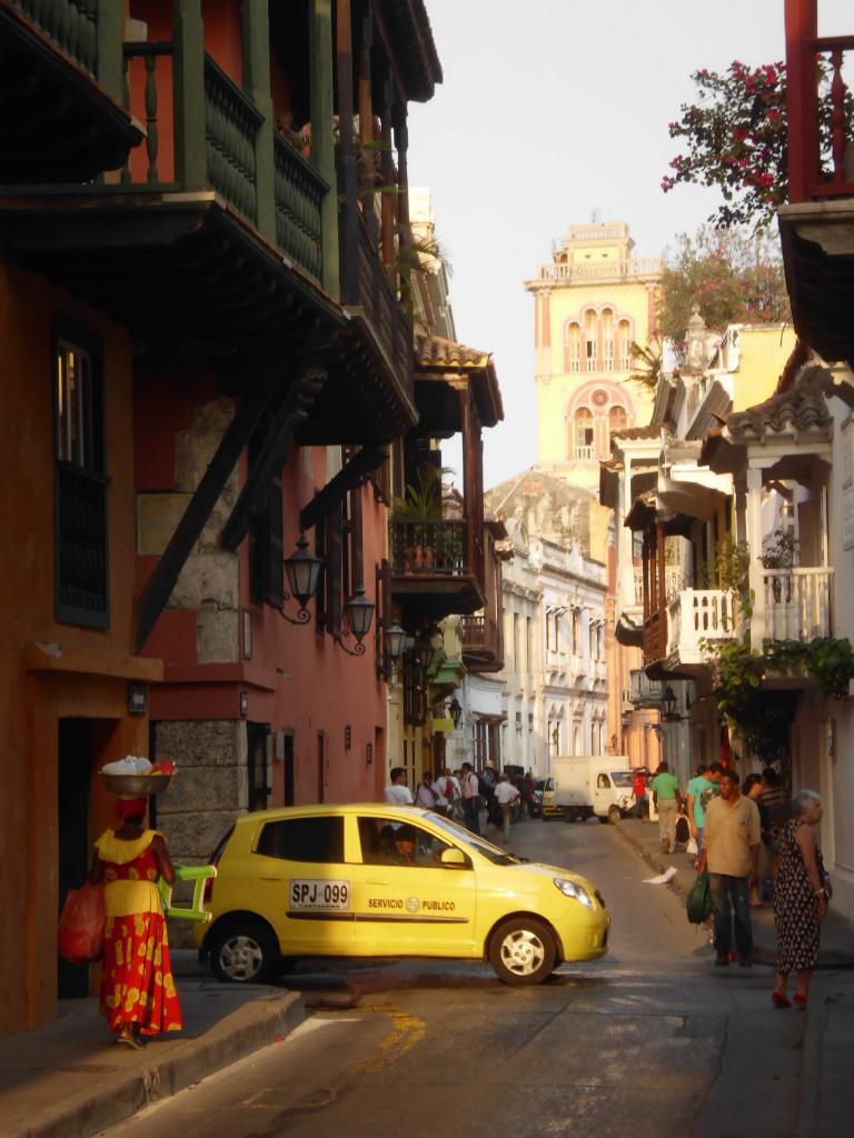
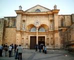
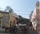
May 5, 2013 − Cuba
Getting into Cuba is easy −
although US citizens have to deal with minor inconveniences:
- Americans traveling to Cuba are supposed to obtain a travel license
(for cultural, humanitarian or educational purposes) from the
US Department of the Treasury.
I didn't bother getting a license.
I simply bought my ticket with
Cubana Air
at a travel agent in the Dominican Republic. Done.
- Americans need to buy a Cuban tourist card for $20.
When I entered Cuba, my card was stamped instead of my passport.
Quick and easy.
- American ATM cards, credit cards, and dollars don't work in Cuba.
So, I used ATMs in the DR to withdraw pesos
which I converted to euros in Santo Domingo.
Problem solved.
- When you enter Cuba or if you extend your visa,
you might be asked to prove
that you have health insurance −
and it can't be with a US-based company.
So, buy what you need online or through a travel agent.
Or be prepared to negotiate.
- Don't do any online banking while in Cuba.
If you do, your bank will identify your IP address
as coming from Cuba,
and may freeze your accounts
until you can prove that you're no longer in Cuba.
Lesson learned.
|
Other than that, travel to Cuba is no different than
travel to most other countries.
At Cuban immigration, I was greeted with
a big smile and a "Bienvenido a Cuba!"
After more than 5 weeks in Cuba, there's too much to say
about this amazing and colorful country
to put it all into one page.
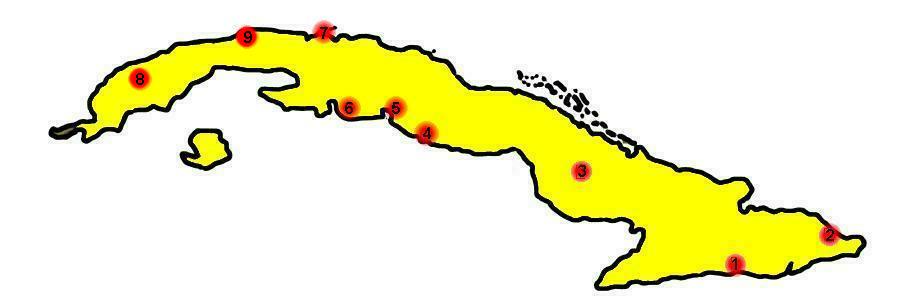
So, each of the places I visited has its own chapter.
For photos and stories,
click on any of the cities to the right
or the numbers in the map below.
|
1 − Santiago
2 − Baracoa
3 − Camagüey
4 − Trinidad
5 − Cienfuegos
6 − Playa Girón
7 − Varadero
8 − Vińales
9 − La Habana
|
Birthplace of Cuban music
Cuba's first town
An Andalusian city
City of antiquity
Pearl of the south
Scuba diving in the Bay of Pigs
Cuba's most popular beach
Friendly tobacco country
Heart & Soul of Cuba
|
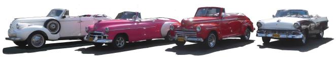
The cars:
Cuba is one of the easiest countries I've ever traveled in,
thanks to its first class bus service and its hospitality,
Other countries should take note.
As for transportation, I couldn't help but take photos of the vintage
Chevys,
Fords,
DeSotos,
Chryslers
and even Edsels.
Click here
for a slideshow of a few of my favorites.
|
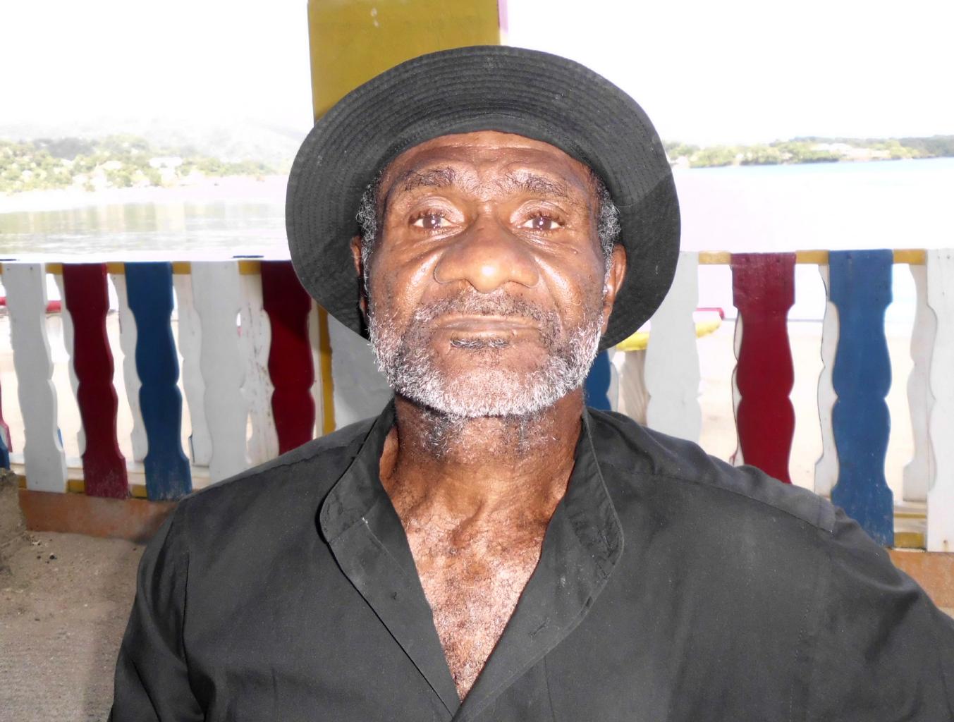
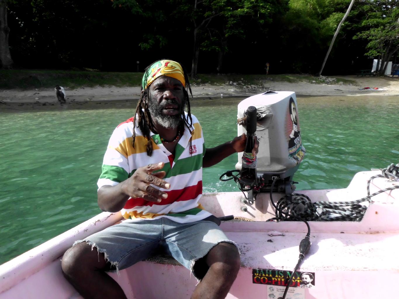
May 23, 2013 − Jamaica
|
|
Leaving Cuba was as easy as getting there.
The only problem for Americans is that
there are no commercial flights between Cuba and the US.
Since I wasn't planning to return to the states anyway,
this was not a problem.
I'd originally planned to exit Cuba
by flying from Havana to Cancun,
but Cubana Air
charged me only $20 to change my ticket to fly
to Nassau instead.
Why Nassau? Why not! I'd never been to the Bahamas.
Although Nassau has none of
the colors, sounds, tastes or culture of Cuba,
it has ATMs and free wifi everywhere.
Being low on cash and behind in my correspondence,
I was happy to spend three days in Nassau.
From here, it was a short hop to Jamaica.
|
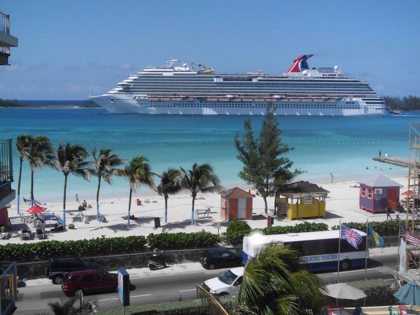
Nassau, Bahamas
|

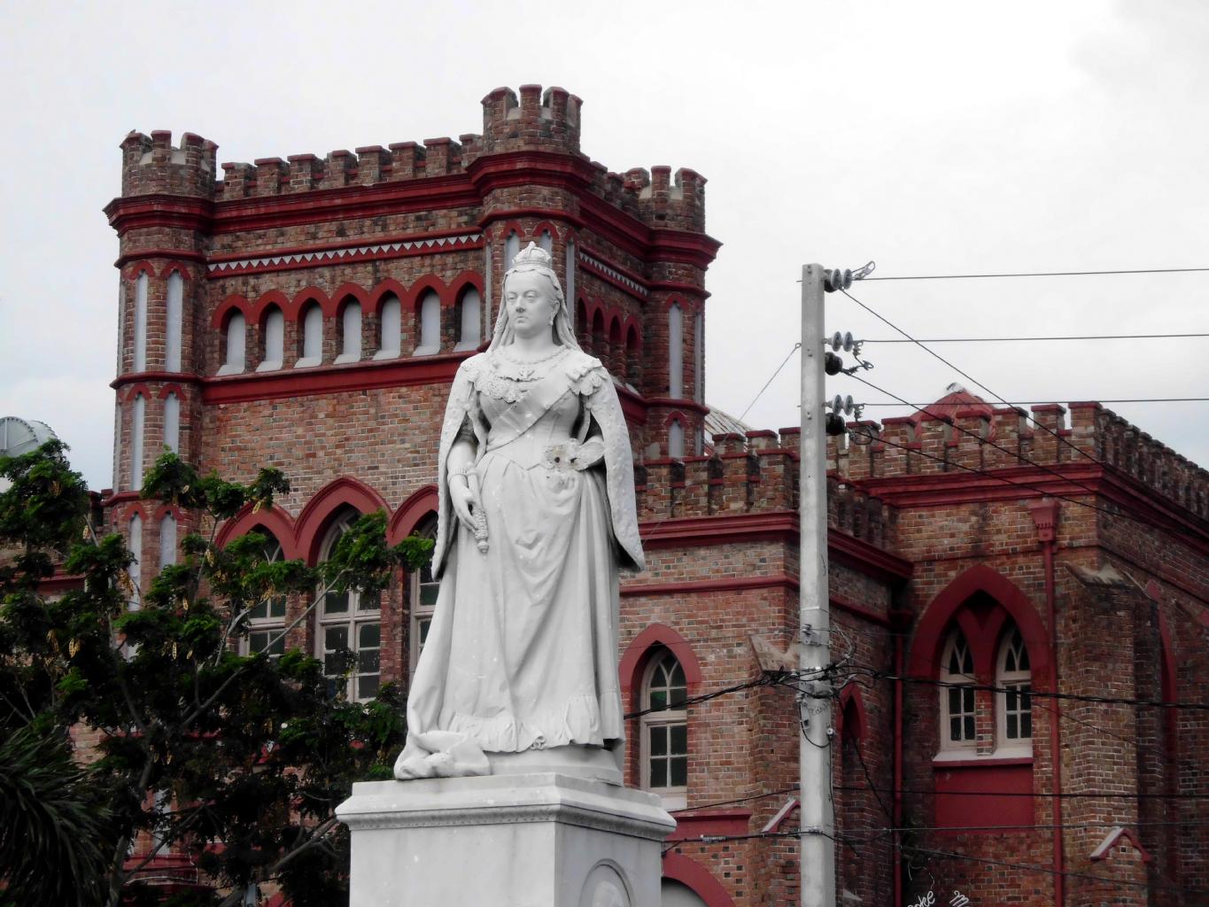
Downtown Kingston
|
Fort Charles at Port Royal
|
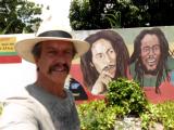
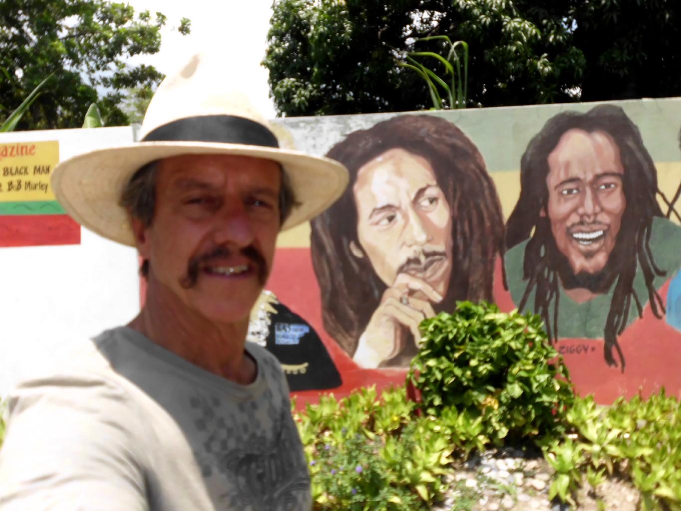
Bob Marley museum
|
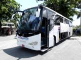
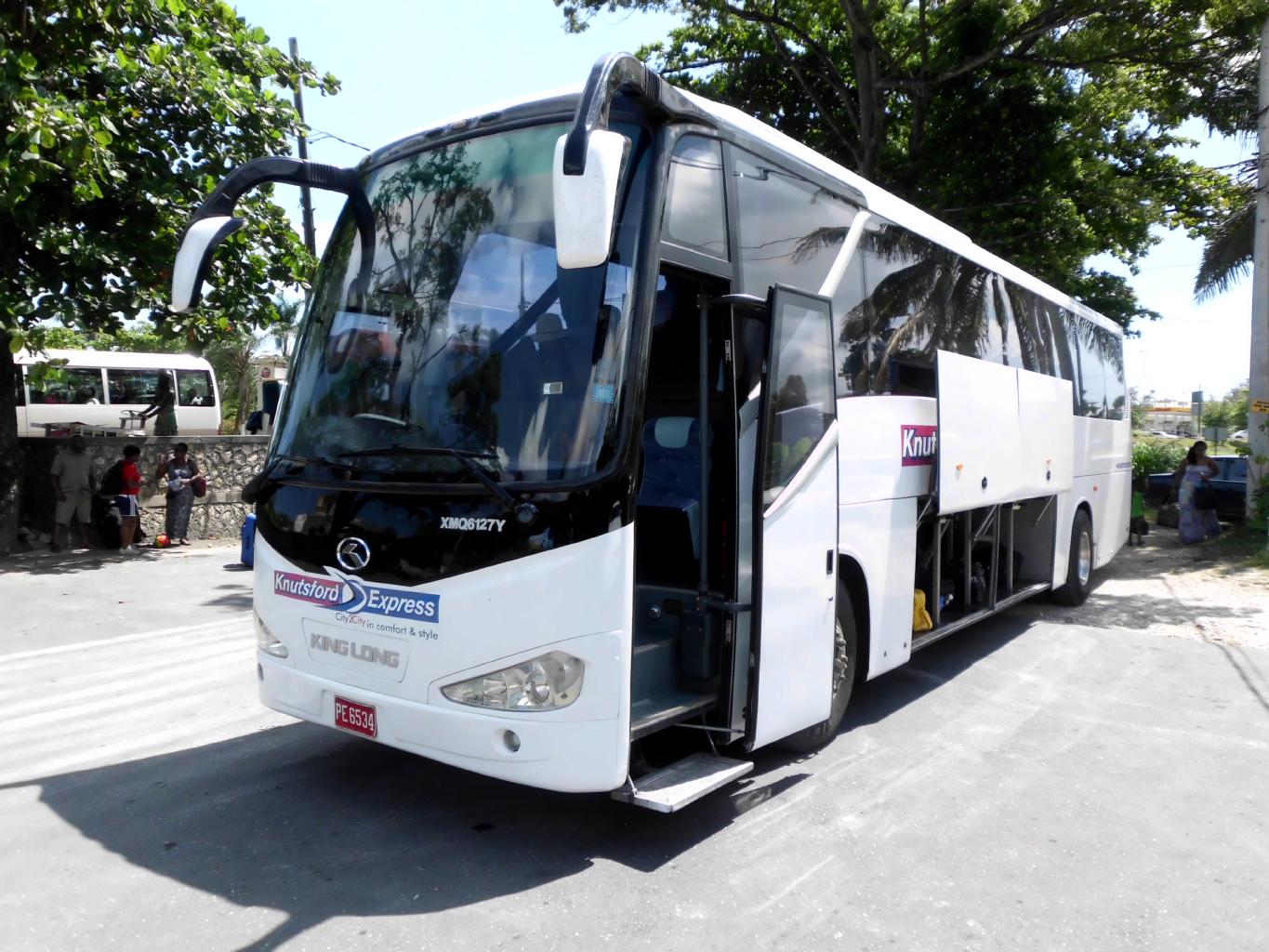
Knutsford Express
|
|
Kingston doesn't have a very good reputation
because of the gangs, the drugs and the violent crime.
Most of the city isn't safe at night.
But in the daytime, Kingston is a friendly enough place
to walk around in.
The brick buildings, the Anglican churches,
and the statue of Queen Victoria in the central park
reminded me that Jamaica was a British colony not long ago.
The noisy, crowded markets downtown reminded me of Johannesburg.
A couple of interesting sites to see in Kingston are:
-
Port Royal:
This historic town − or what's left of it −
was once the pirate capital of the Caribbean.
In 1692, a major earthquake caused the soft sand under
this town to liquefy and subside into the bay.
Later Port Royal was the hub of British naval power in the
West Indies.
Young Horatio Nelson was stationed here from 1778 to 1780.
-
Bob Marley museum:
Housed in his former home,
this is well worth a visit to get acquainted with Jamaica's
most famous native.
Whenever I arrive in a new country,
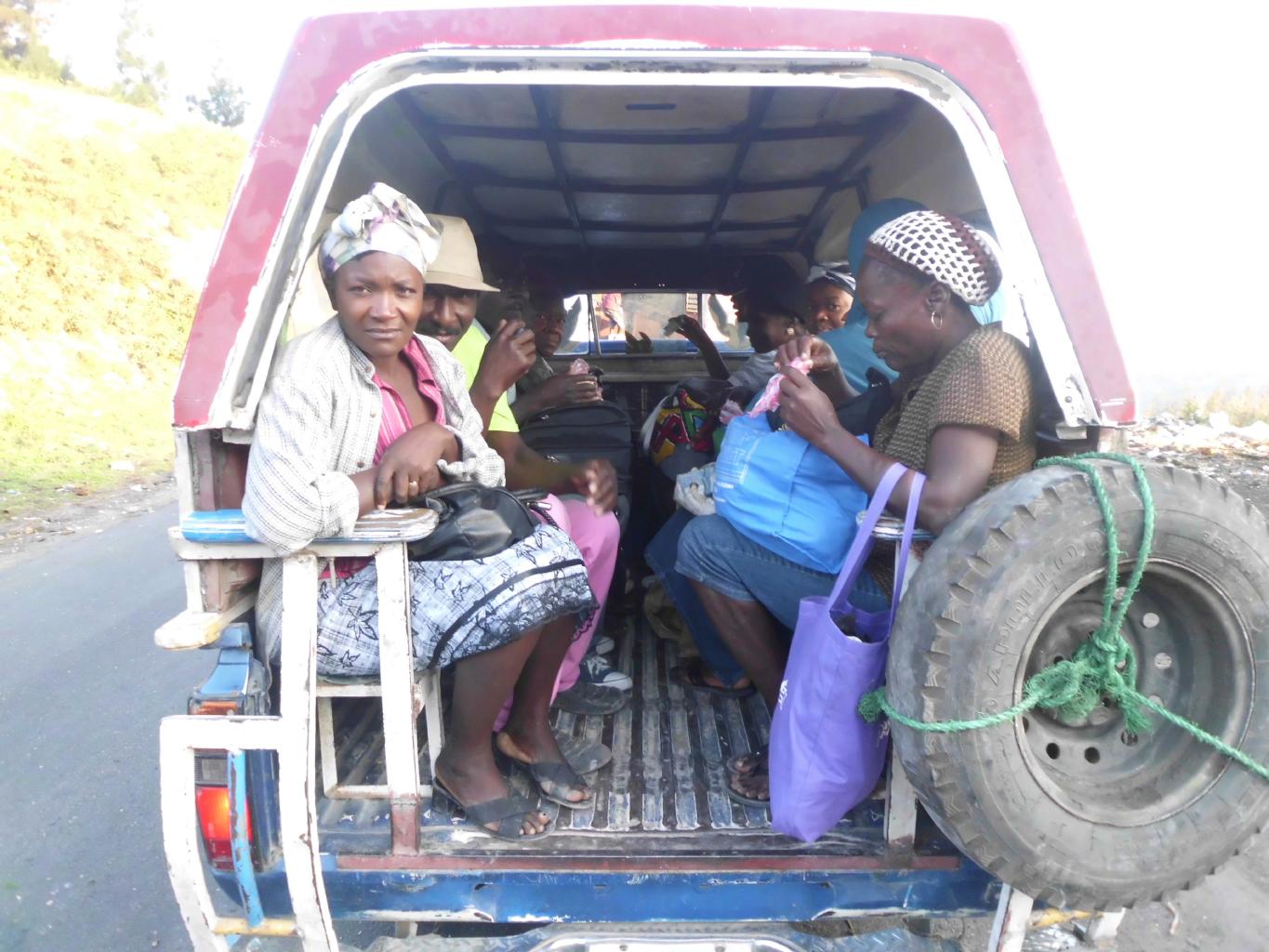
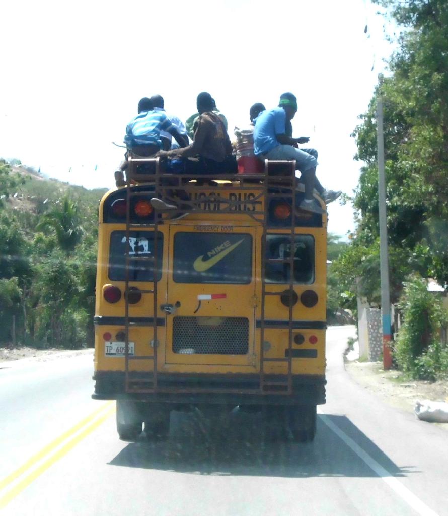
the first challenge is to figure out how the transportation systems work.
In Jamaica, there are several options:
- Express bus:
Jamaica has a 1st class bus line called
Knutsford Express
which connects the five largest cities.
The buses have air conditioning, toilets, in-flight movies and wifi.
Tickets can be booked online and buses run on time.
- Route taxis:
Jamaica has an efficient system of privately owned
cars and mini-vans
that shuttle folks back and forth between towns.
The fares are set by the government.
Although the route taxis are often crowded,
they're very fast and cheap.
Sharing a seat with another passenger is
a good way to get to know the locals.
- Taxi:
Jamaican taxi drivers charge tourists
higher fares than taxis in Tokyo
− and you don't get the same white-gloved courteous service.
I avoided taxis after one experience.
- Rental car or bicycle:
I didn't try either of these options.
Although life in Jamaica is delightfully slow-paced,
everything changes when a Jamaican gets into a car.
I was surprised not to see more wrecks
beside the highways than I did.
- Walking:
This is always the best way to get to know a country.
I did as much of this as possible in Jamaica.
|
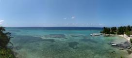
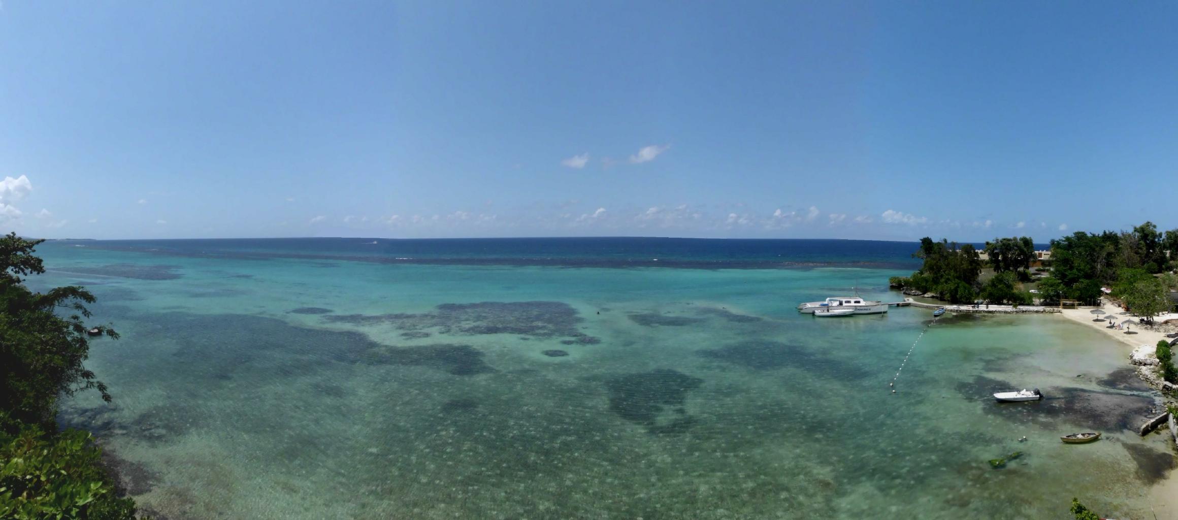
The reefs at Ocho Rios
|
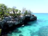
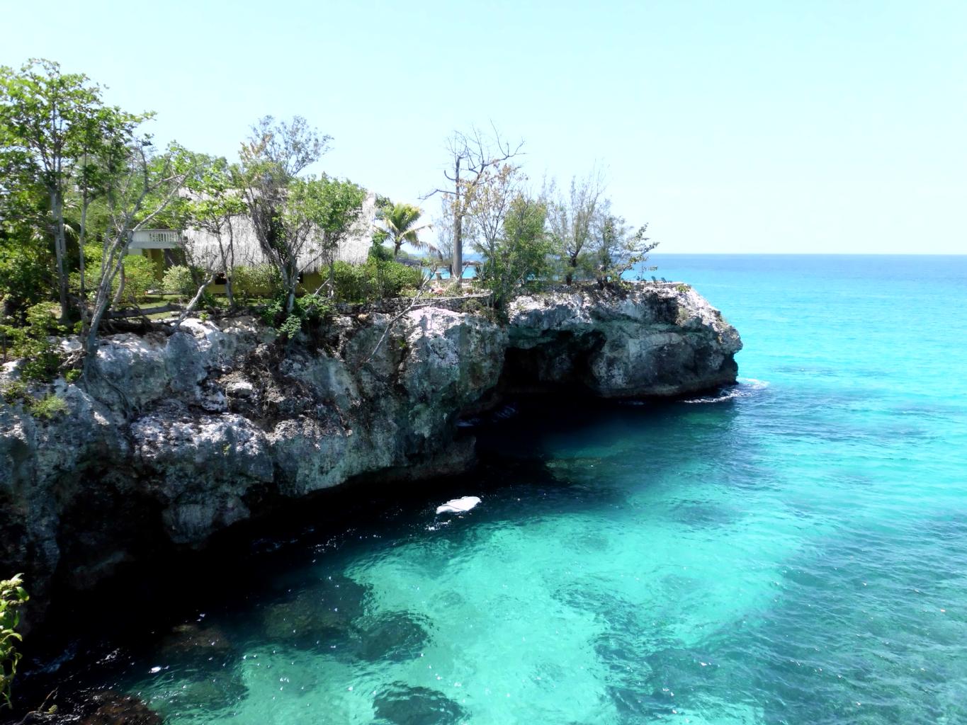
The cliffs at Negril
|
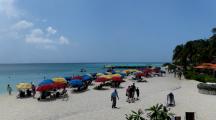
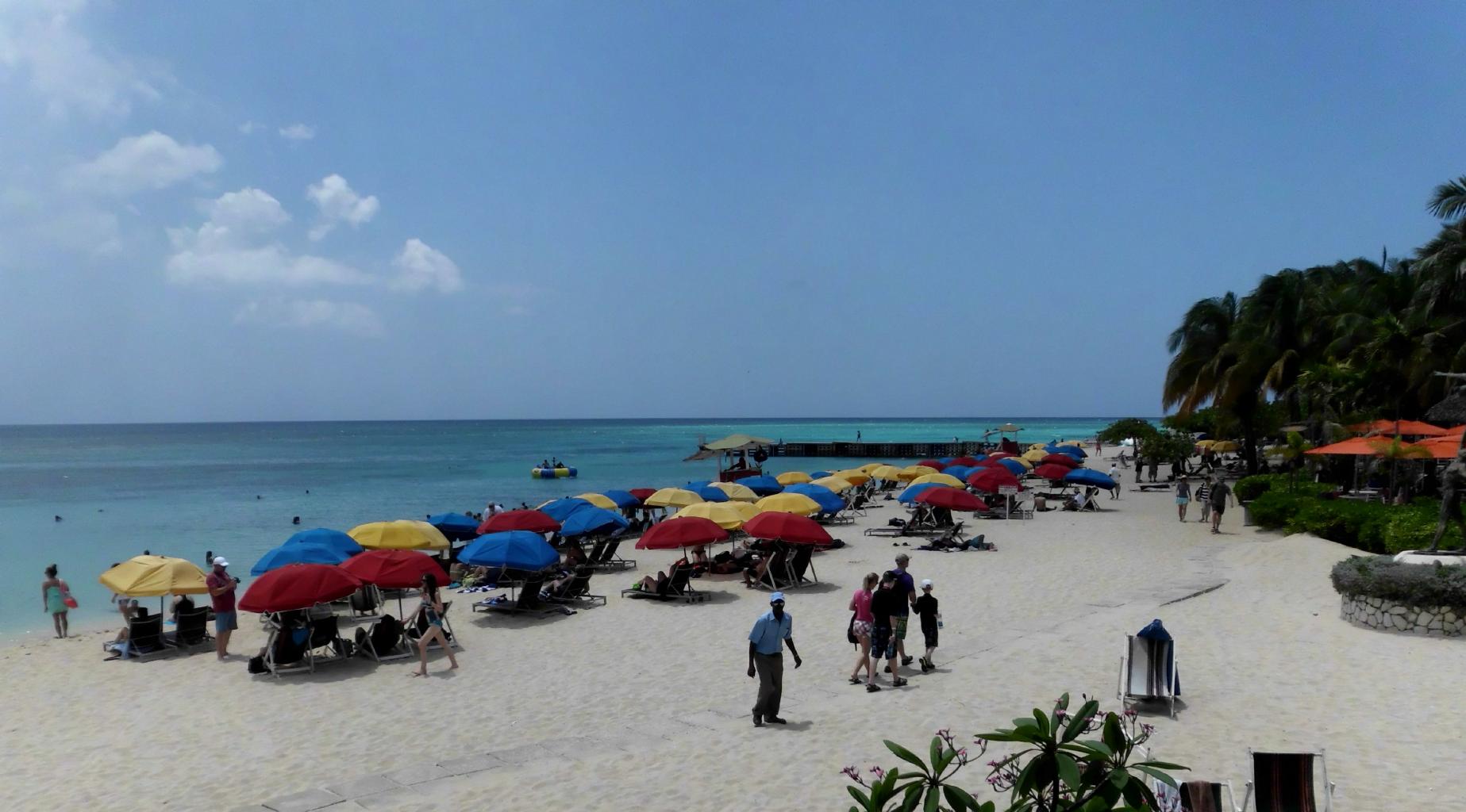
The beach at Montego Bay
|
After two days in Kingston, I headed north for
Jamaica's best beaches and accommodations.
Here are some of the lovely places I stayed,
for never more than $50/night.
- Ocho Rios:
Silver Seas Hotel
Good base for exploring the parks, waterfalls and mountains
of Jamaica's north shore.
Big, airy rooms with balconies over the ocean.
Large tiled patios for drinks and meals.
There's a reef right offshore that makes for great snorkeling.
- Port Antonio:
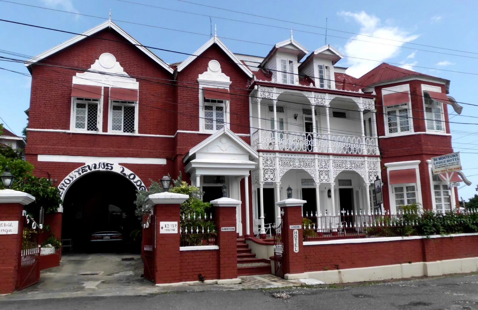
Demontevin Lodge Hotel
Historic building that hasn't changed since it
was built in 1881. Queen Elizabeth(s) I & II stayed here
in 1923. 1953 and 1968.
Great views of the harbor and just two minutes walk from town.
- Negril (long beach):
Negril Yoga Center
The gardens are lush and guests get discounts on the already
inexpensive massages and yoga classes.
Long beach is right across the street.
- Negril (west end):
Blue Cave Castle
This fantastic hotel was modeled after
the Neuschwanstein Castle in Bavaria.
But instead of being surrounded by forested mountains,
there's turquoise water all around.
Rent a mask, snorkel and fins at the bar,
descend 20 steps down into a submerged cave,
and start swimming with all the fishes.
May is Jamaica's "rainy season".
But in reality, the weather was pretty good.
Mornings were usually clear and sunny.
Noisy thundershowers blew up in the afternoons,
followed by cooler evenings.
The great thing about visiting Jamaica in May is that
this is low season.
Reservations aren't necessary and one can get the best rooms at hotels
at less than half of the high-season rates.
|
Port Antonio harbor
|
Demontevin Lodge Hotel
|
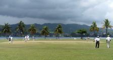
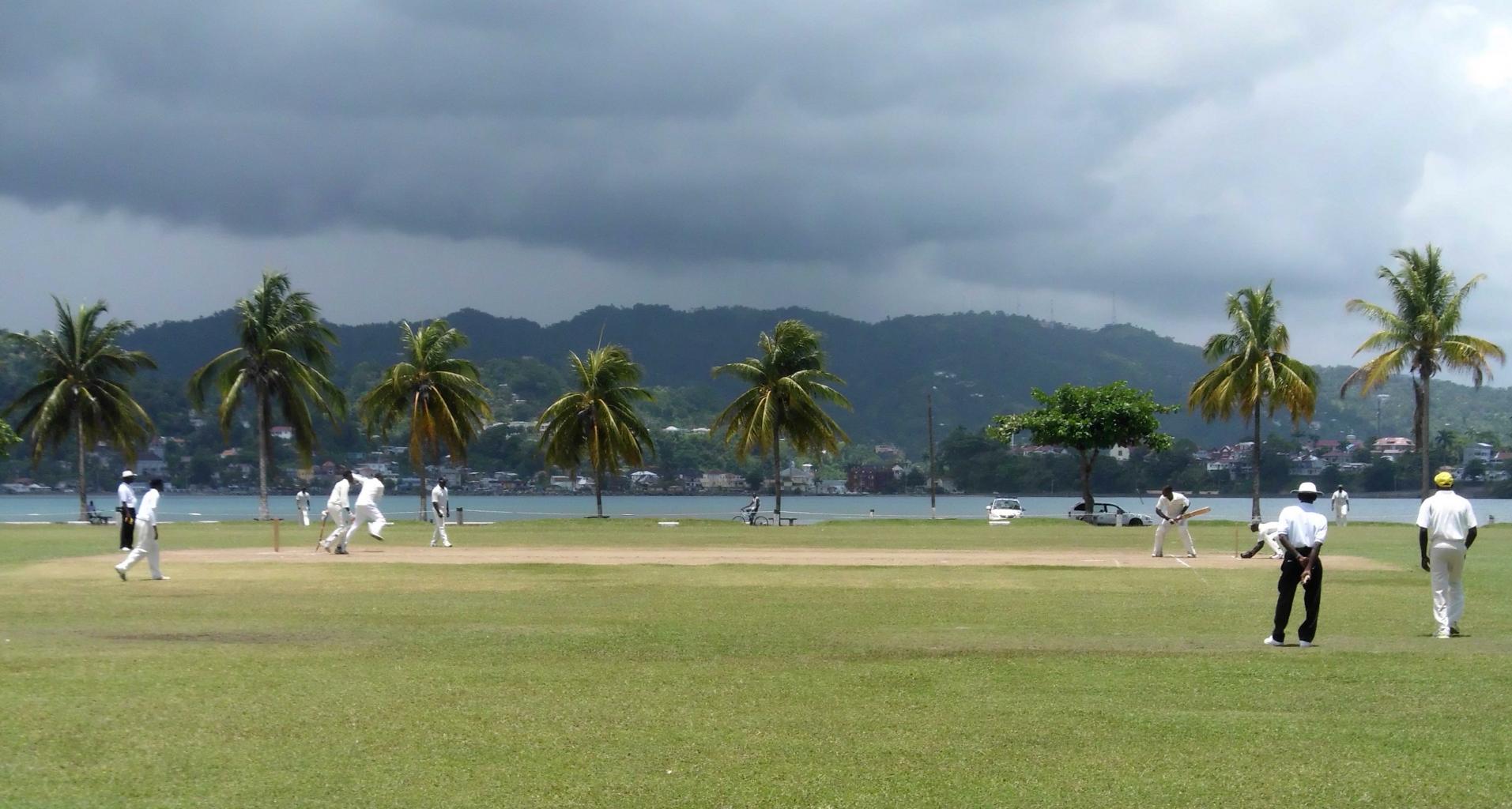
Cricket by the bay
|

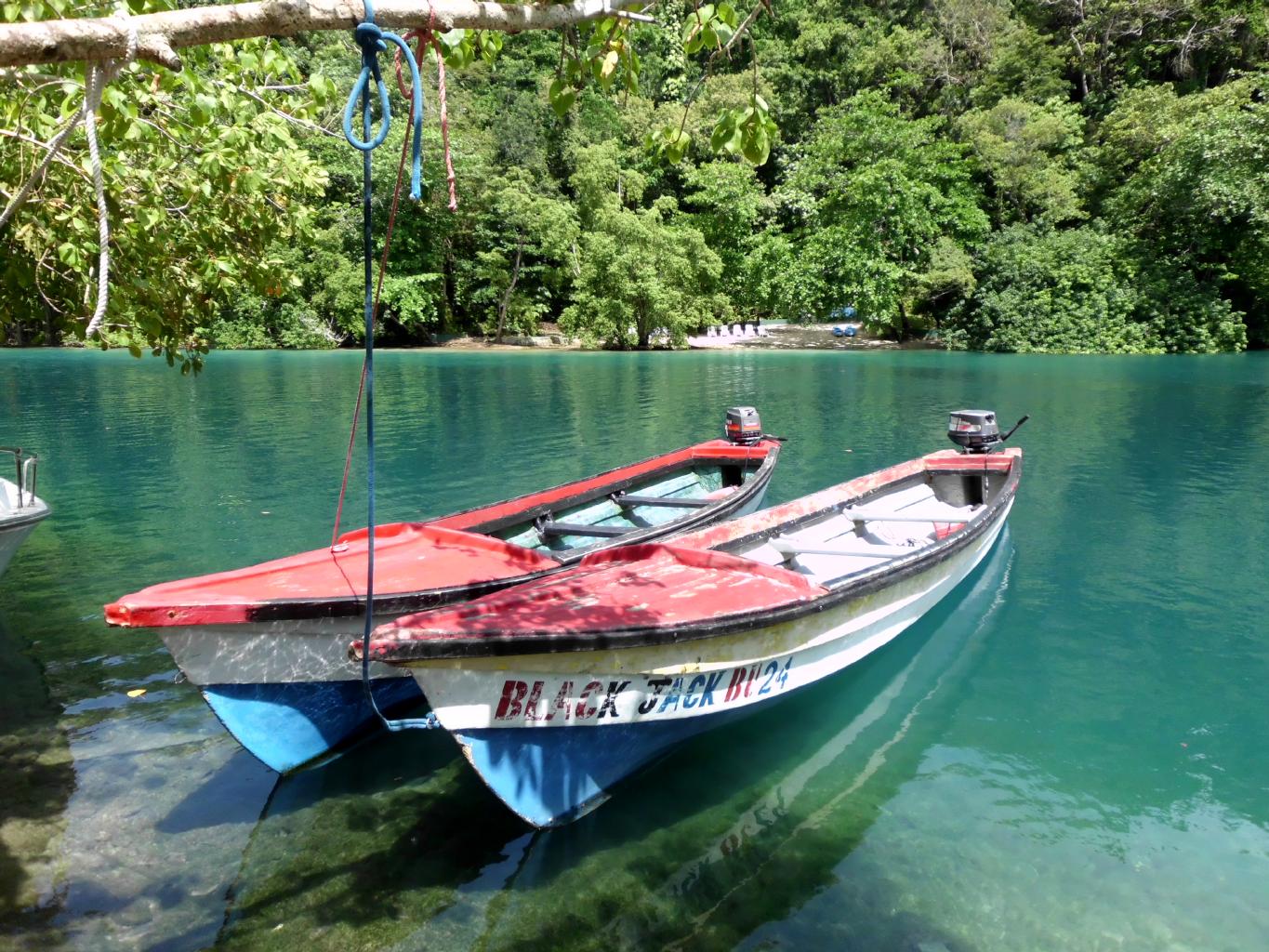
The Blue Lagoon
|
|
Port Antonio was my favorite spot in Jamaica.
This sleepy, untouristed town is
where one can escape from the hawkers
selling everything from overpriced souvenirs
to illegal substances and services.
Port Antonio is where you can watch an afternoon's cricket match,
go for a swim in nearby Blue Lagoon,
or just sip a cold beer on the dock while the sun sets.
Port Antonio is also where I found the
Errol Flynn Marina,
known well to international yachters
who pass through here on their round-the-world cruises.
I met some good folks at the bar whom I may see again.
Here's a link to their blog:
www.tamariskrtw.com
|

|
|
|
|
|
But a country isn't just a place − it's the people.
Jamaicans are friendly and easy-going.
Still I worry about Jamaica's culture and social structure.
This island has a lot of spaced out, stoned people
− mostly young males −
standing around waiting for a hand-out.
The drug use, the poor work ethic,
and the lack of motivation
makes this a very laid-back place.
But it doesn't lead to a productive society or stable family life.
Bob Marley was a brilliant musician,
but I don't see that sort of star appearing here again for a while.
Meanwhile, the Jamaicans will survive on tourism,
but that's about all that's going to happen here.
So, when you come to Jamaica, just relax.
Be happy.
Every little thing's gonna be all right.
No worries, Mon.
|
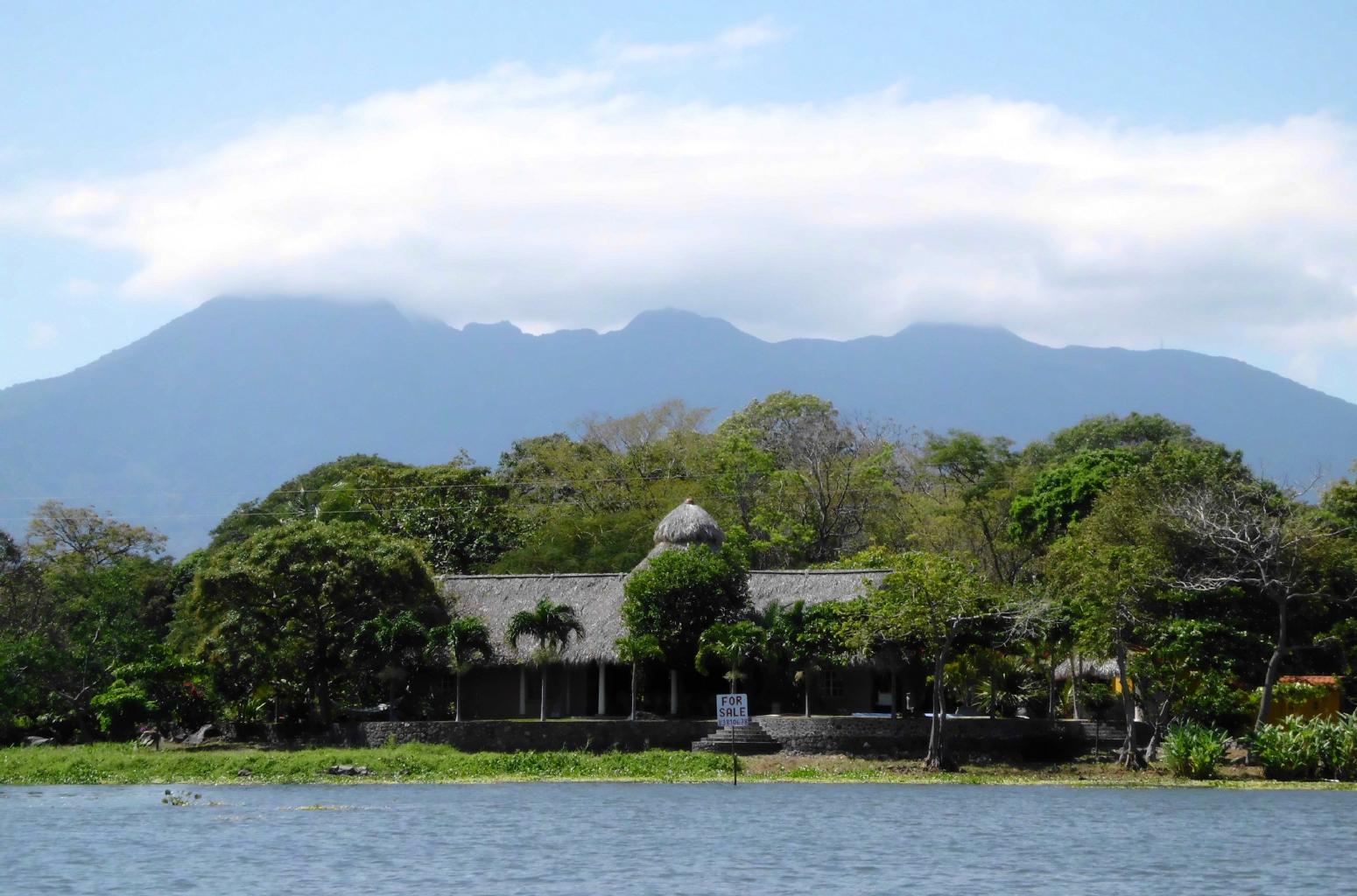
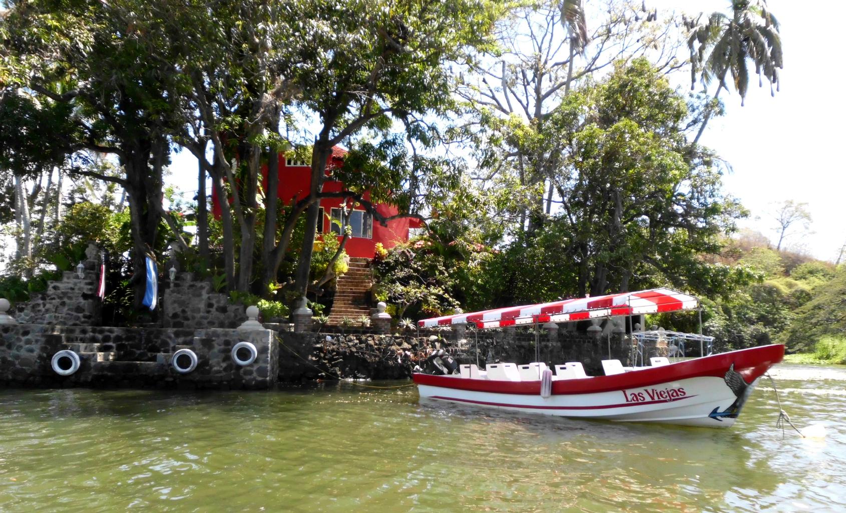
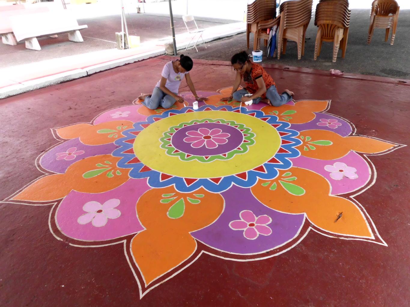
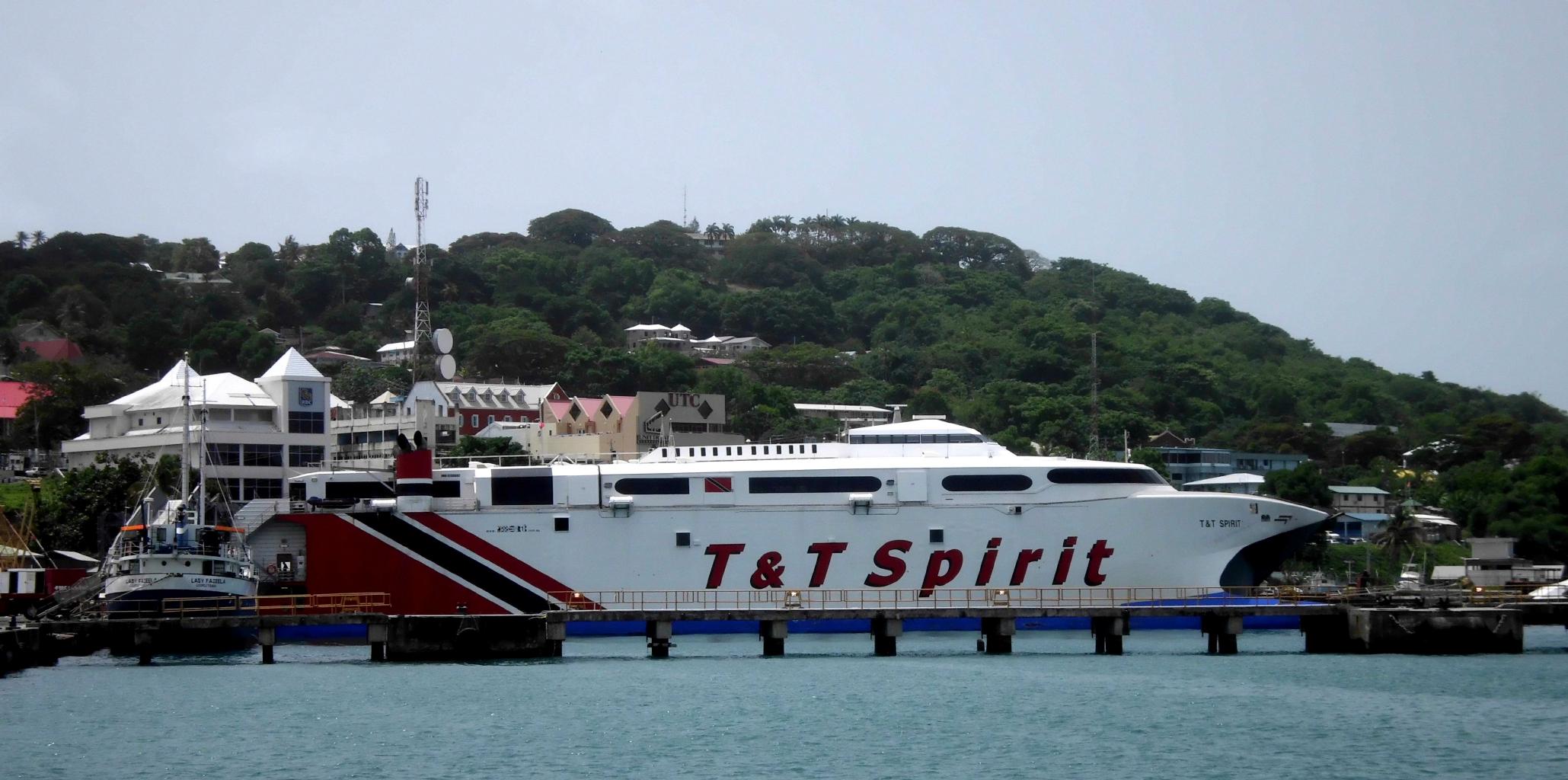
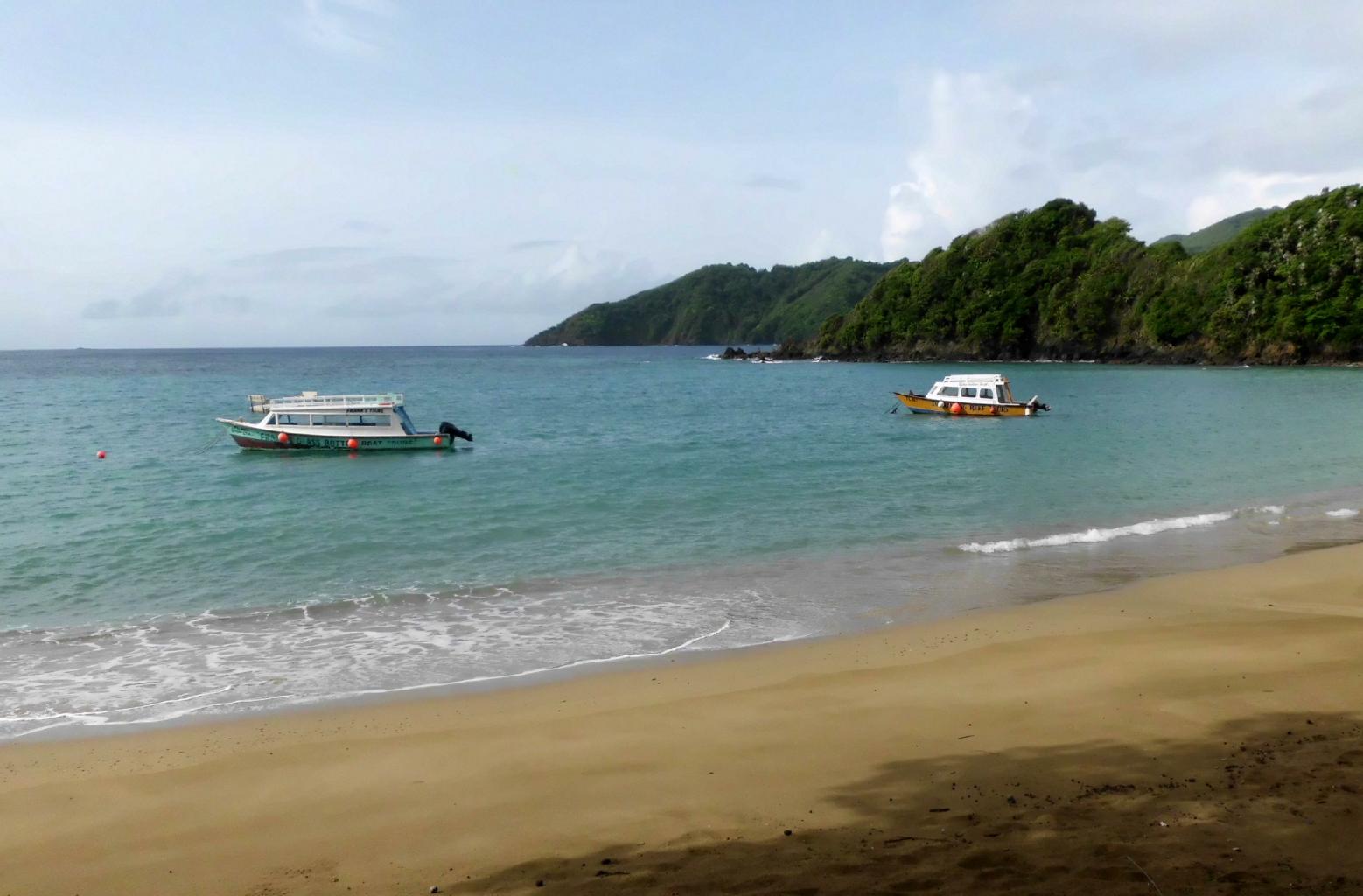
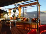
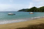
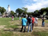
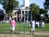
June 6, 2013 − Trinidad and Tobago
After two weeks of Jamaica's beautiful beaches,
spicy barbecue,
non-stop reggae,
and aggressive street-vendors,
it was time to leave the haze of ganja smoke
and go someplace new.
The easiest and cheapest ticket
out of Montego Bay was to Port of Spain
(Caribbean Air's hub).
So, I bought a one-way ticket and started reading up on
Trinidad & Tobago in my Kindle Lonely Planet guide.
T&T is two very different islands which share
a common government, climate, currency and language.
Trinidad is 20 times larger than Tobago
in both area and population.
Consequently, commerce and festivals happen in Trinidad,
while Tobago is a quiet place to escape to.
Unlike the other islands of the Caribbean,
T&T has substantial petroleum reserves.
So, this is a nation
that doesn't have to rely upon tourism for its income.
− and gasoline costs $1.60/gal.
Although T&T welcomes tourists,
there aren't a lot of them here.
I made my base at
Par-May-La's Inn,
a comfortable, centrally-located, Indian-run guest house.
|
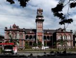
Queen's Royal College
|
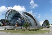
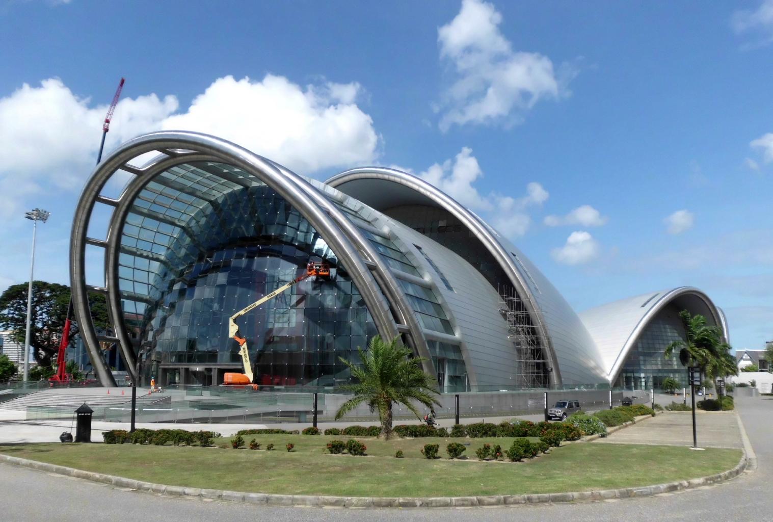
Performing Arts Center
|
Joe Biden's motorcade
|
Modern highway system
|
|
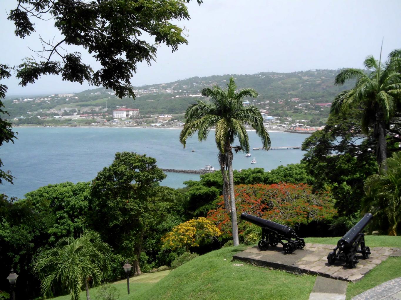
Port of Spain,
the capital of T&T,
is a manageable city to see by foot.
There are dozens of quaint, historic buildings,
as well as startling modern structures, such as
the National Academy for the Performing Arts,
which resembles a chrome and steel version of the Sydney Opera House.
(I'm told that it's supposed to look like the national flower:
The hibiscus.)
Port of Spain has good museums, busy restaurants,
and the world's largest roundabout,
with a circumference of 3.5km and an area of 260 acres.
Colloquially known as "The Savannah",
it's a popular place for jogging in the mornings,
cricket matches in the afternoons,
and concerts in the evenings.
Everyone I met in Trinidad was friendly,
and seemed genuinely interested in talking with a foreigner.
In Jamaica, locals hung around bars and restaurants
waiting for tourists to buy them dinner or at least a drink.
In Trinidad, it was just the opposite.
People bought me drinks and dinner
in order to ask where I was from and
what I thought about their country.
From doctors and dock hands to tax attorneys and taxi drivers,
I was impressed by the Trinbagonians.
They are intelligent,
articulate,
politically-aware,
and well-traveled.
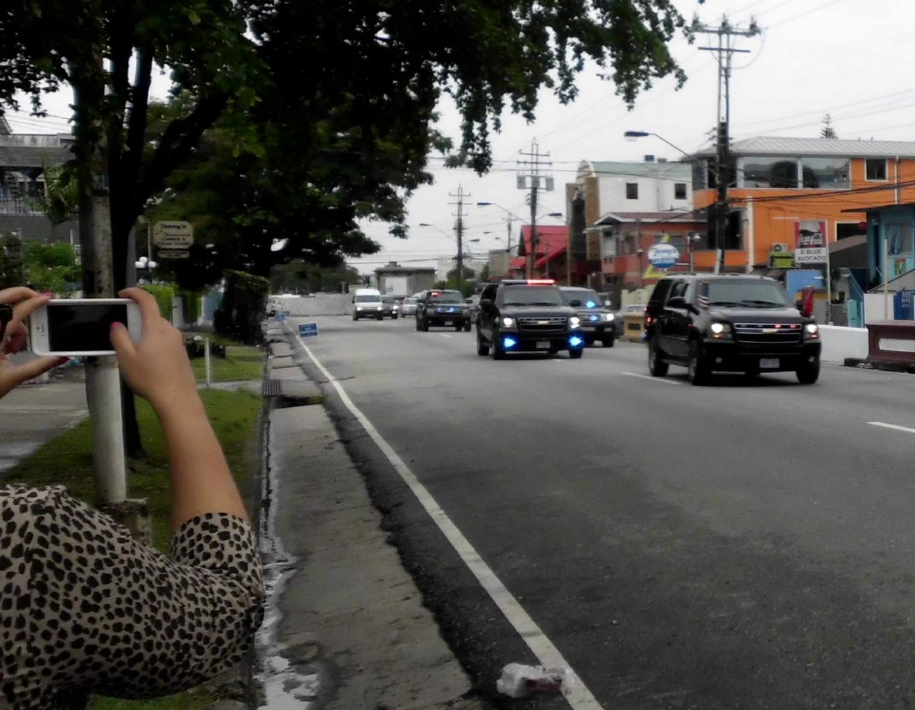
While I was in Port of Spain,
there was a heightened political buzz
due to the almost simultaneous visits
by Joe Biden and China's president, Xi Jinping.
By coincidence, I saw both of these gentlemen -- or at least their cars.
I waved at both of their motorcades.
When the Americans drove by, a tinted window rolled down
and a well-manicured hand reached out and waved.
No one from Mr. Xi's contingent waved back.
Typical of the political awareness of Trinbagonians,
there was much discussion of the
US$3 billion
that China has proposed to give several Caribbean nations
for infrastructure improvements.
Trinidad is looking forward to receiving some of this windfall.
However, countries that maintain
relations with Taiwan, such as Haiti and Belize,
will not.
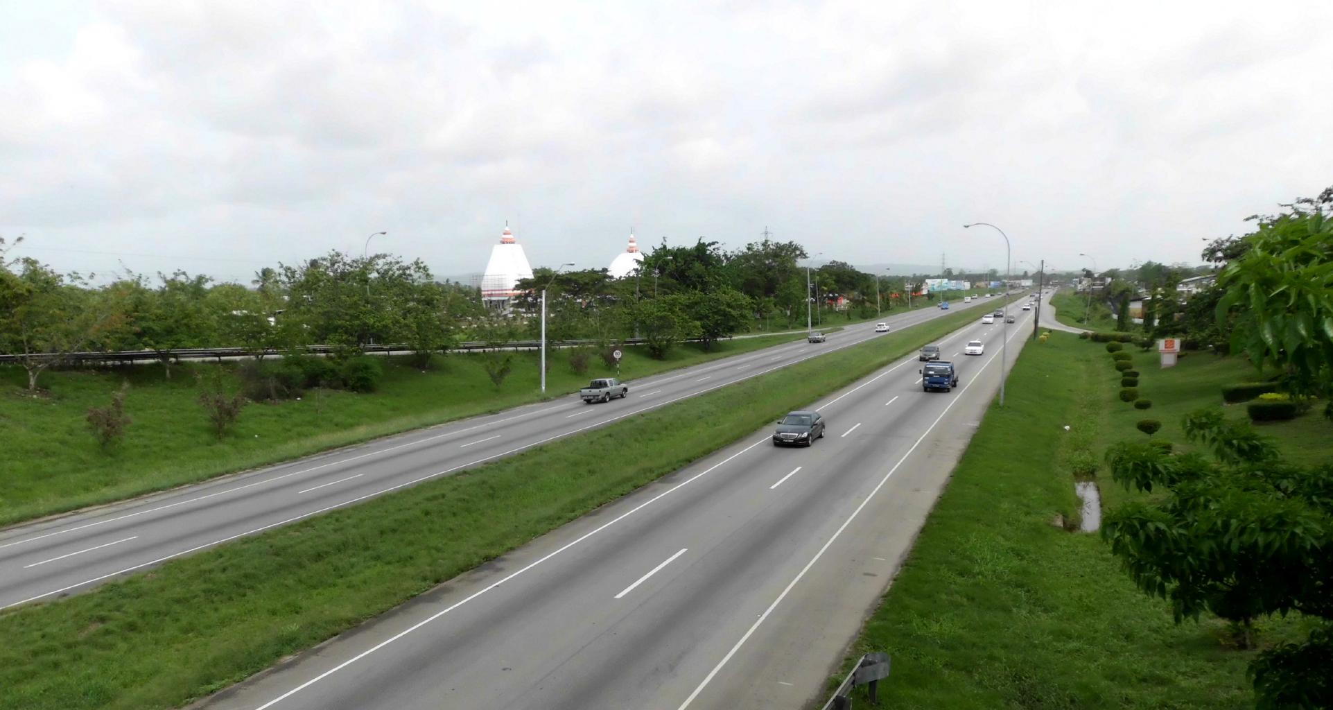
In the highway photo above,
note the Indian stupas to the left of the freeway.
About 1/3 of Trinidad's population is of East Indian origin.
After the British abolished slavery,
they recruited East Indians to work on their sugar plantations.
The first boatload of Indian indentured servants
arrived in Trinidad on May 30, 1845.
Today, May 30th is a national holiday known as Arrival Day.
Although I missed Trinidad's raucous Carnival (which is in February),
I was on hand for the colorful parades, loud music,
delicious foods and exciting festivities
for this year's Arrival Day.
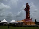
|
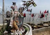
Deities of the Caribbean
|
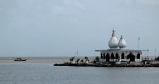
Temple in the Sea
|

Dattatreya Yoga Center
|
Hanuman Murti
|
|
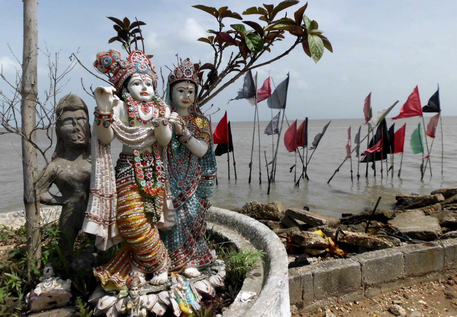
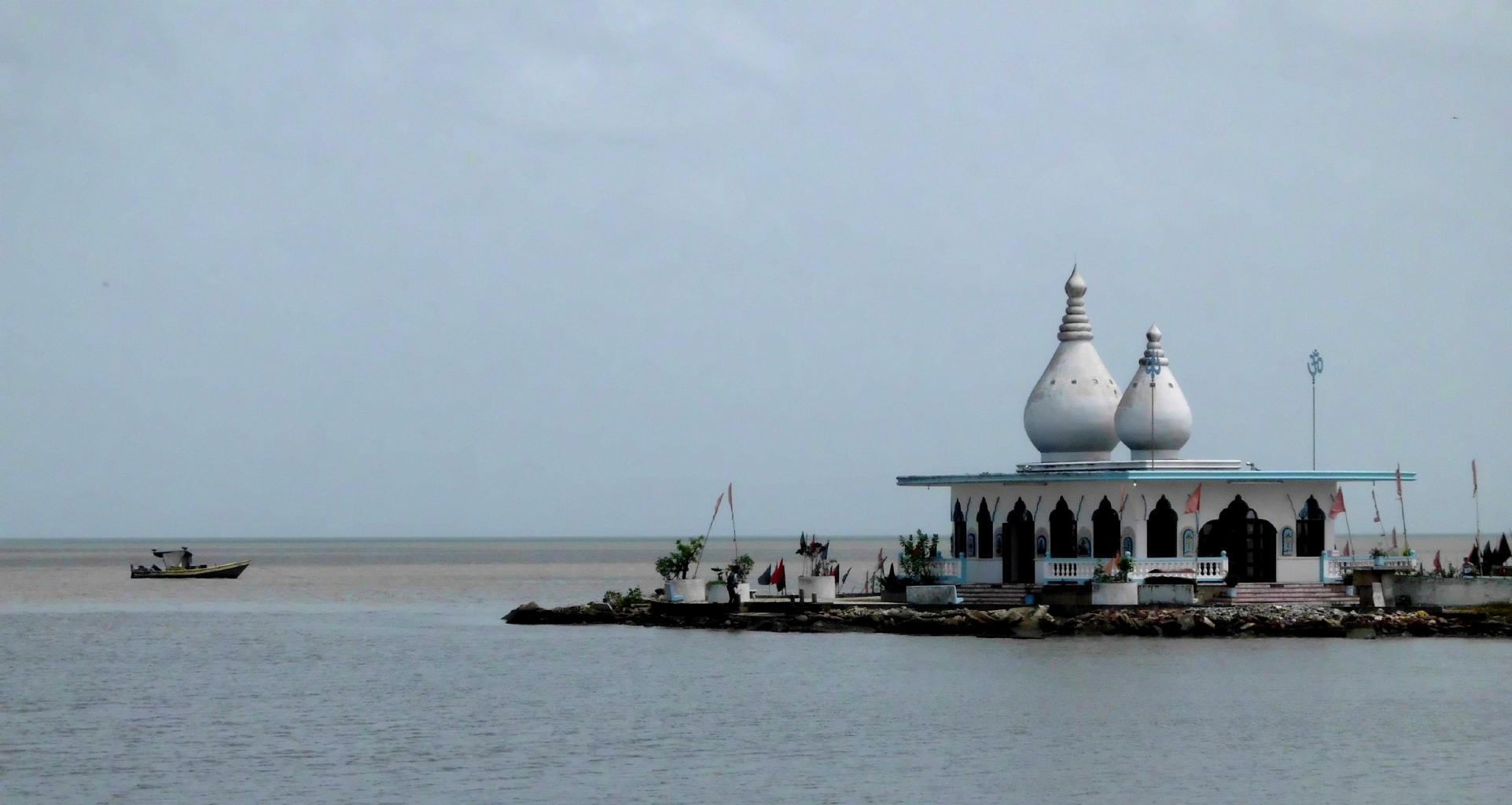
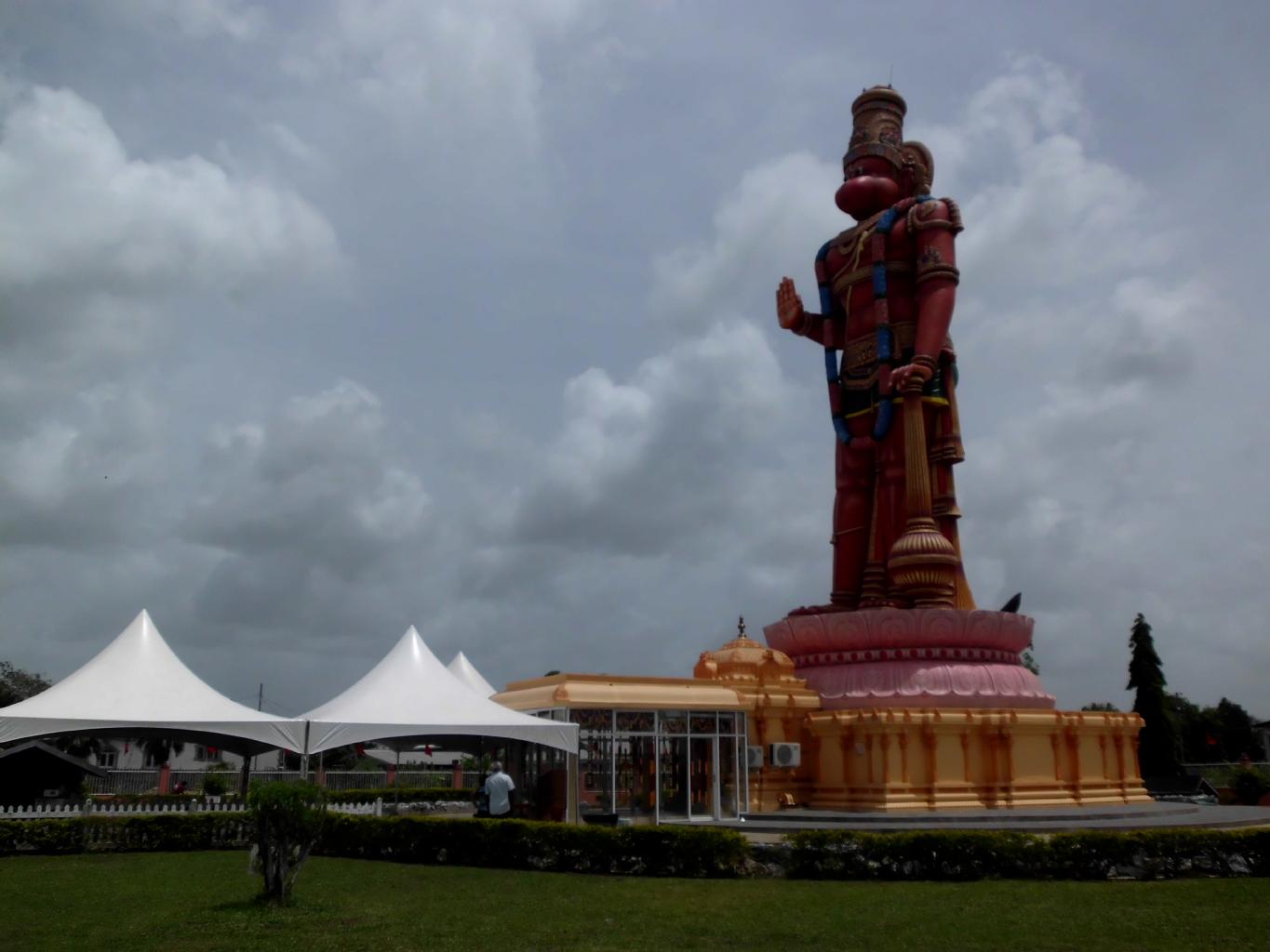
Carapichaima is the district along the west coast
where most of the Indian population lives.
Here's where you'll find the serene Temple in the Sea,
a vibrant yoga center,
and the tallest statue of a Hindu god outside of India.
Hanuman Murti is 25m tall.
Also worth seeing is the Indian Caribbean museum which chronicles
the migration of tens of thousands of Indians
to the Caribbean in the 19th century.
|
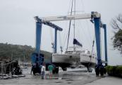
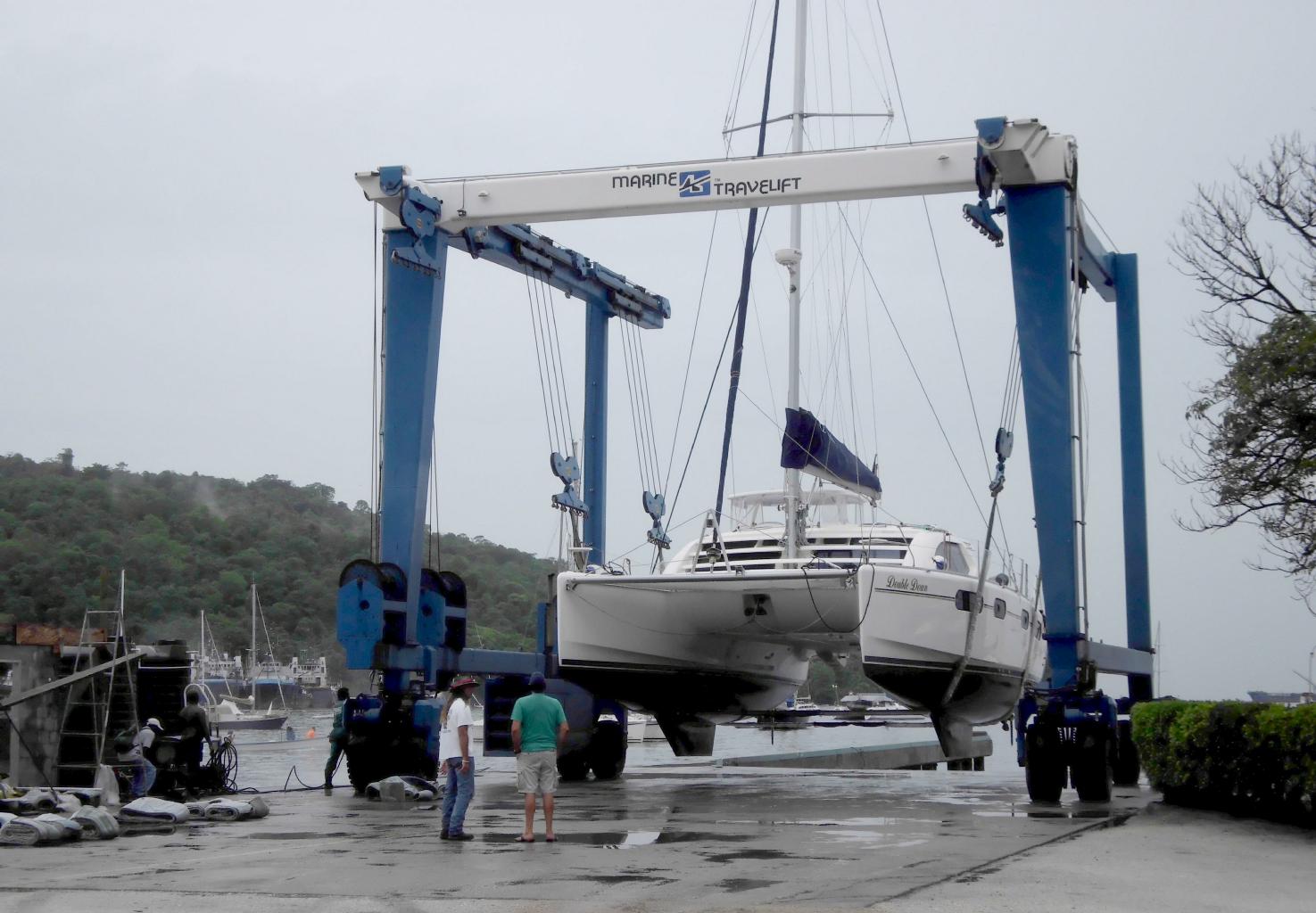
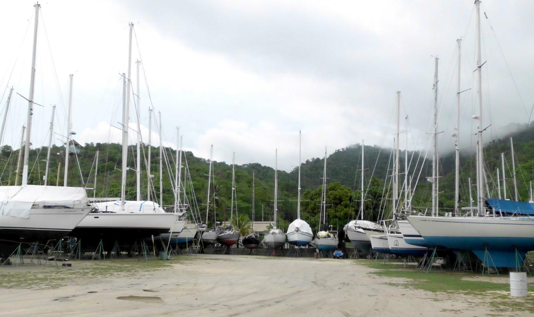
Boat hoist at Chaguaramas
|
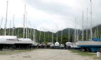
Dry-docked for hurricane season
|

Mt.St.Benedict Monastery
|
|
In the northwest corner of Trinidad is Chaguaramas,
the largest private boat marina in the Caribbean.
Because Trinidad is south of the hurricane belt,
this is where hundreds of yachts are dry-docked
during hurricane season.
By June, all the luxurious boats are buttoned up and tucked
away until their owners return in November.
In some cases, the owners never return,
which makes this an excellent place to buy a used yacht.
I did some window shopping here.
There were some tempting offers.
Not far from Chaguaramas, on the slopes of the Northern Range,
is Mount St.Benedict,
home to a couple dozen aging Benedictine monks.
There are two reasons to come here:
(1) To hike the nature trails to the top of the mountain,
from which you can see half of Trinidad.
(2) To spend a few relaxing nights at the
Pax Guest House,
an elegant, colonial guesthouse with great food and
charming ambiance.
This is one of the loveliest places I've stayed in months.
|
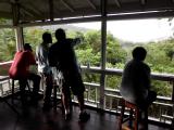
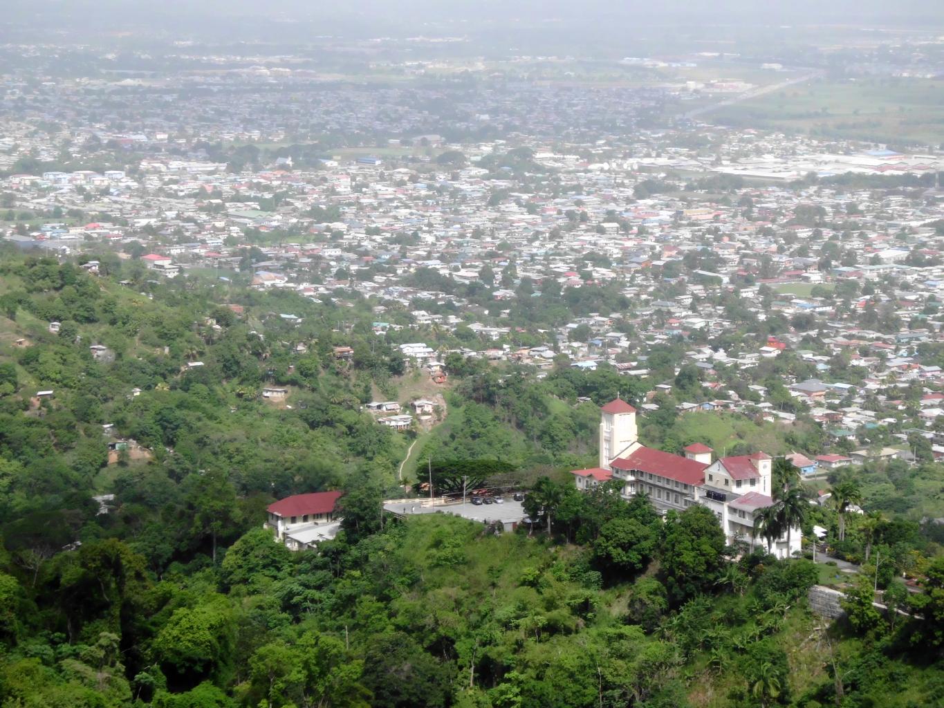
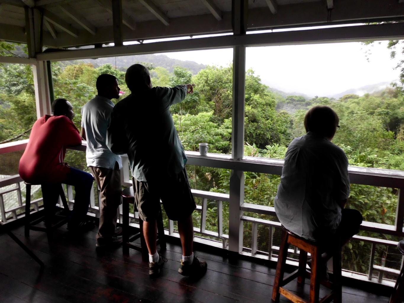
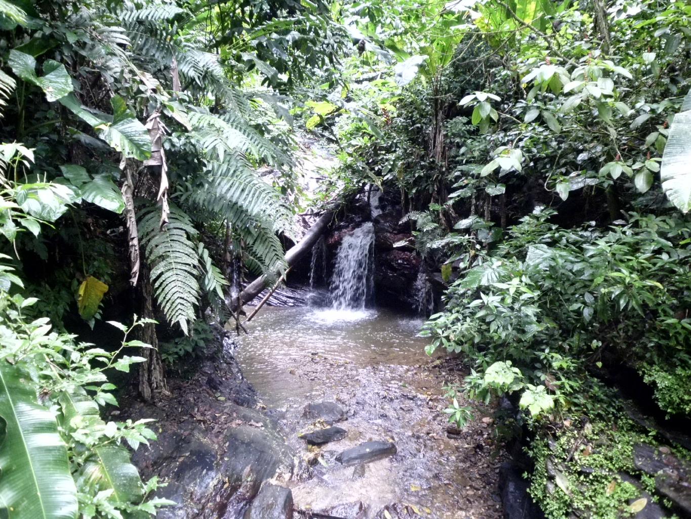
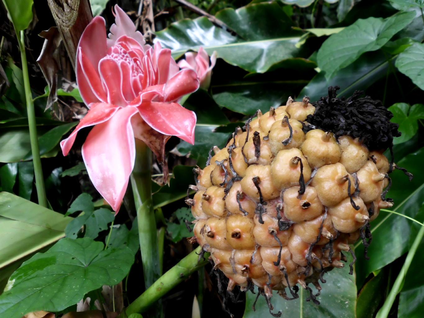
Bird viewing veranda
|
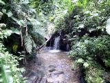
Lush rain forest
|
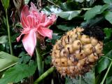
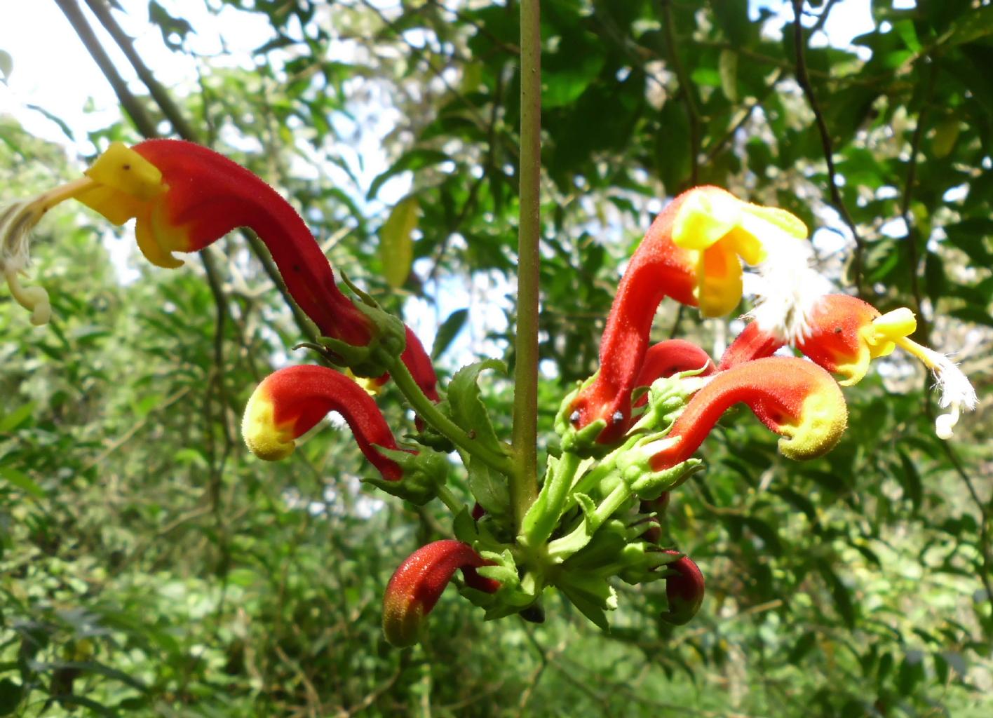
Torch ginger
|
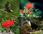
Birds of Trinidad
|
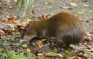
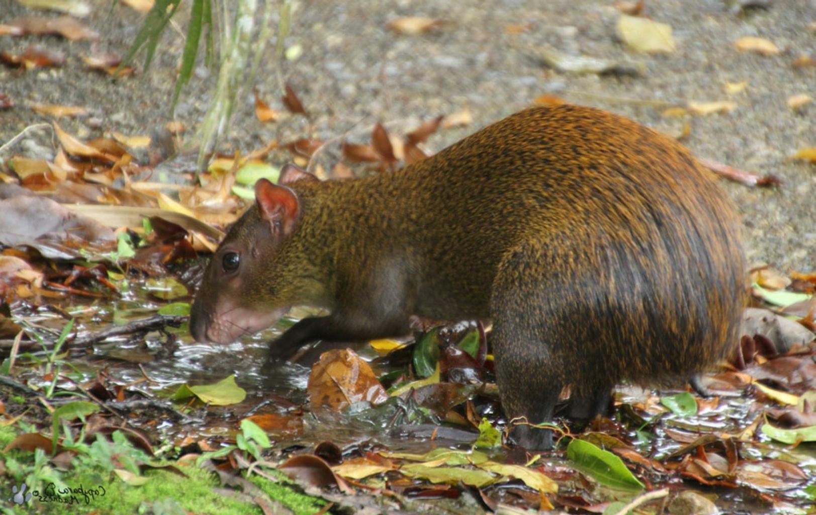
An agouti
|
|
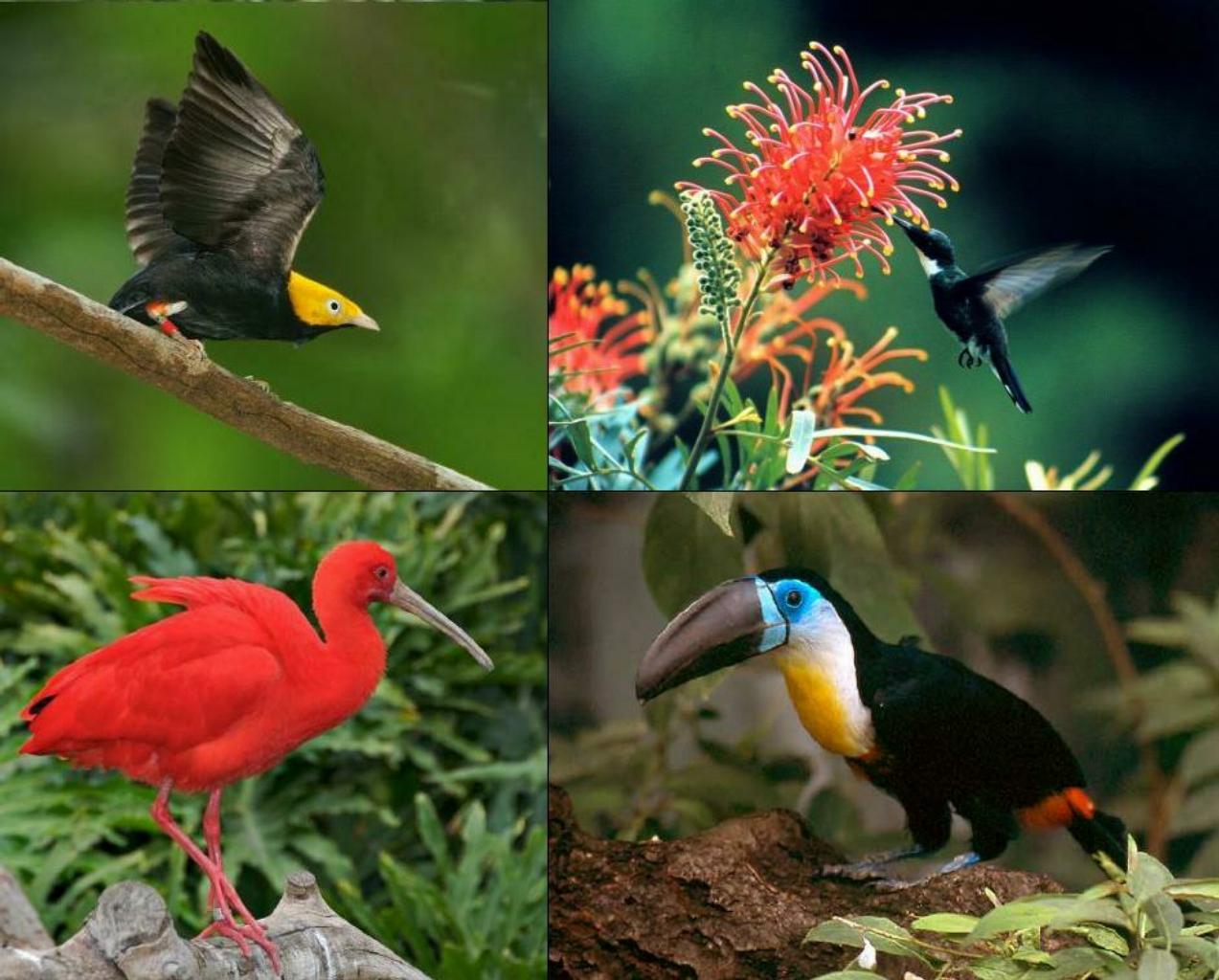
If you like bird watching and strolling through lush rain forests,
the Asa Wright Nature Center
is the place for you.
I'm not even a bird watcher and I loved this place.
Sipping morning tea or coffee from a veranda
perched at the top of the forest canopy
while admiring a channel-billed toucan
is a nice way to start the day.
After you've spotted several dozen species you've never seen before,
let the folks at Asa Wright organize a boat tour for you to the
Caroni Bird Sanctuary.
At sunset, hundreds of Scarlet Ibis roost in the mangrove trees,
giving the appearance of being abloom with brilliant red blossoms.
Even if you're not a birder, this is an amazing sight to see.
|
|
With Tobago being only 42km long,
it's easy to see the whole island in a few days,
from Crown Point at the west end to Speyside in the east.
I travelled by route taxis, which are inexpensive, fast
and a good way to meet the locals.
No reservations or tickets required.
It's like hitch-hiking.
You just put out your hand wait a couple of minutes
for a vehicle to stop.
|
Store Bay, Crown Point
|
Fresh fish and veggies
|
Bateaux Bay, Speyside
|
|
Since it was my birthday, I pampered myself at two resorts.
In Crown Point,
I went for the health food, yoga classes and jacuzzis at the
Kariwak Village Holistic Haven.
In Speyside,
I went snorkeling and ocean kayaking at the
Blue Waters Inn.
A month ago, I had no idea what Trinidad and Tobago would be like,
nor any plans to come here.
I'm delighted to have stumbled upon this marvelous island country,
which has a lot more to offer than I'd expected.
I'll have to come back here again sometime,
if only to see the great Leatherback turtles nest and hatch
on Trinidad's windswept Atlantic beaches.
|
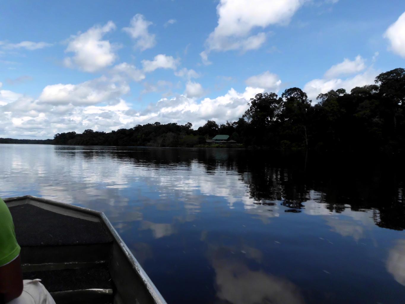
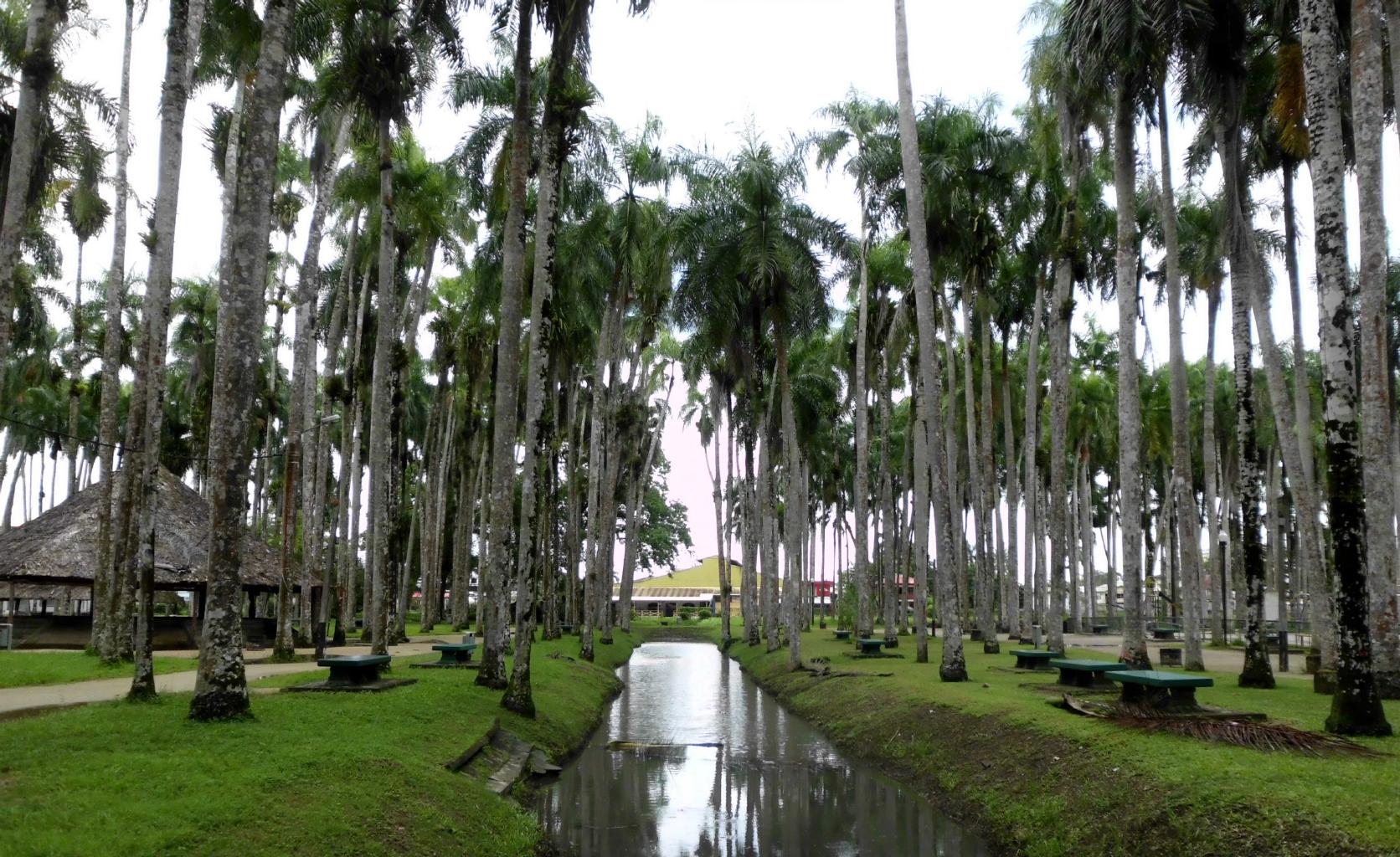
June 13, 2013 − Guyana
Two weeks ago, I was in Tobago,
surfing airline websites,
and wondering where to go next.
A search for low fares led me to GEO.
Where's that?! GEO is Georgetown, Guyana.
Guyana has never been on my bucket list,
and I don't know anyone who's ever been here.
But I like to keep an open mind to new experiences.
So, I turned to my Kindle Lonely Planet
Guide to South America.
The first paragraph was intriguing.
Guyana's tourist association describes this country
as "Conradian" ... as in Joseph Conrad's Heart of Darkness.
That was good enough for me. I booked a one-way ticket.
First complication:
There weren't any convenient return flights back from GEO.
However, from neighboring Suriname,
there were flights to Barbados.
I knew nothing about Suriname or
how I'd get from Guyana to Suriname,
but I booked that ticket, too.
When I boarded my flight to Georgetown,
I realized why my ticket to GEO was inexpensive.
The plane was almost empty.
All this led me to discover two delightful countries,
with fascinating, unique sites and almost no tourists.
|
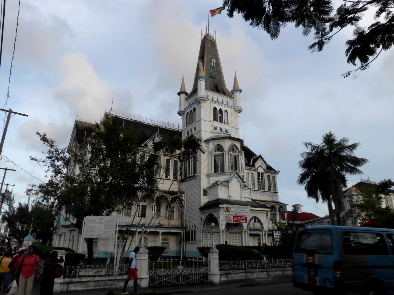
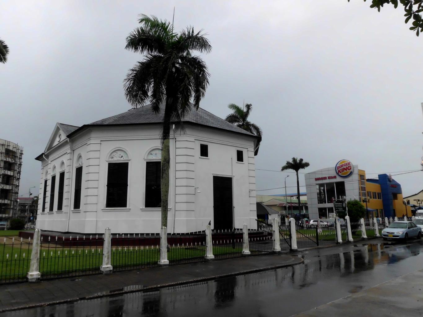
Georgetown City Hall (1868)
|
Water Street Plaza
|
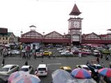
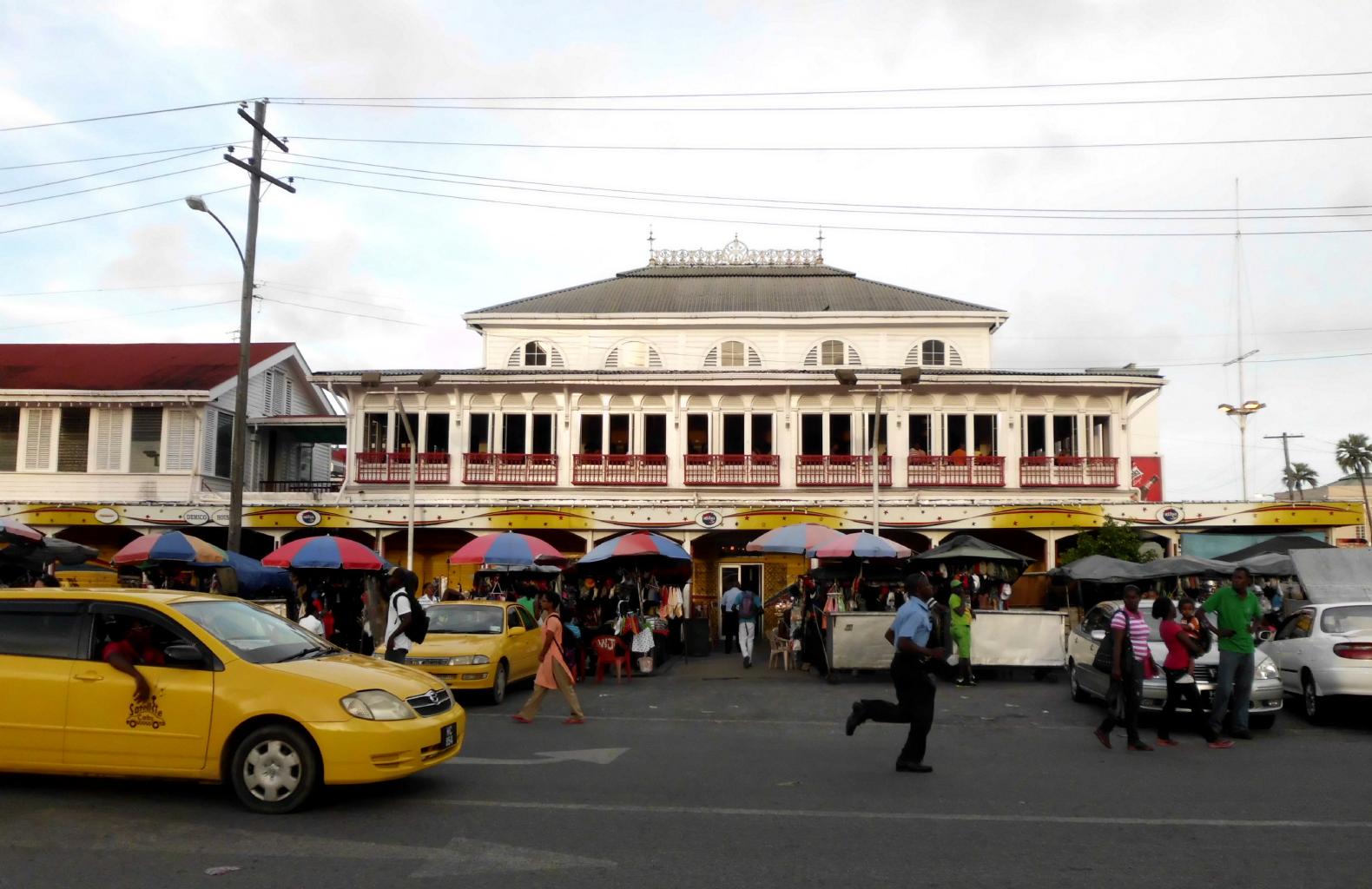
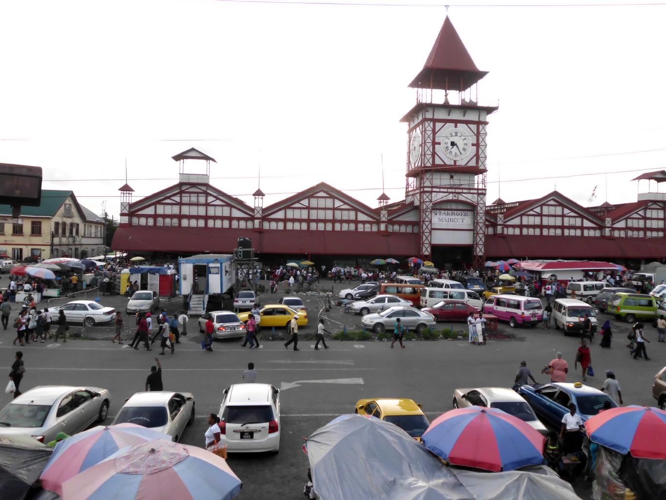
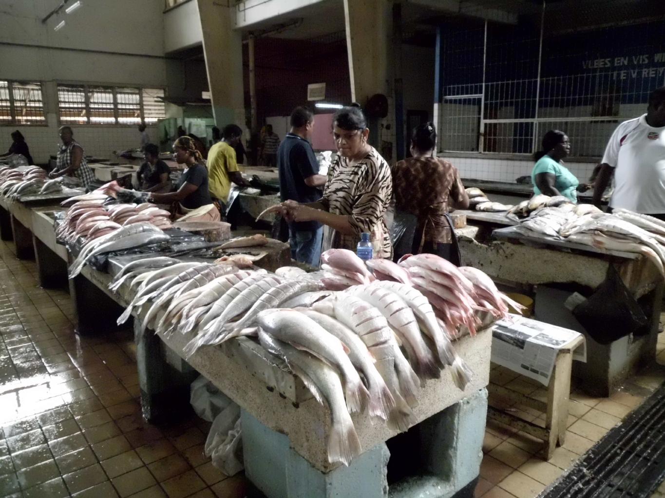
Stabroek Market (1880)
|
|
Guyana is about the size of Kansas.
But we're not in Kansas anymore, Toto.
Guyana's climate is hot and humid.
It's the sort of weather where your clothes feel damp five minutes
after you put them on.
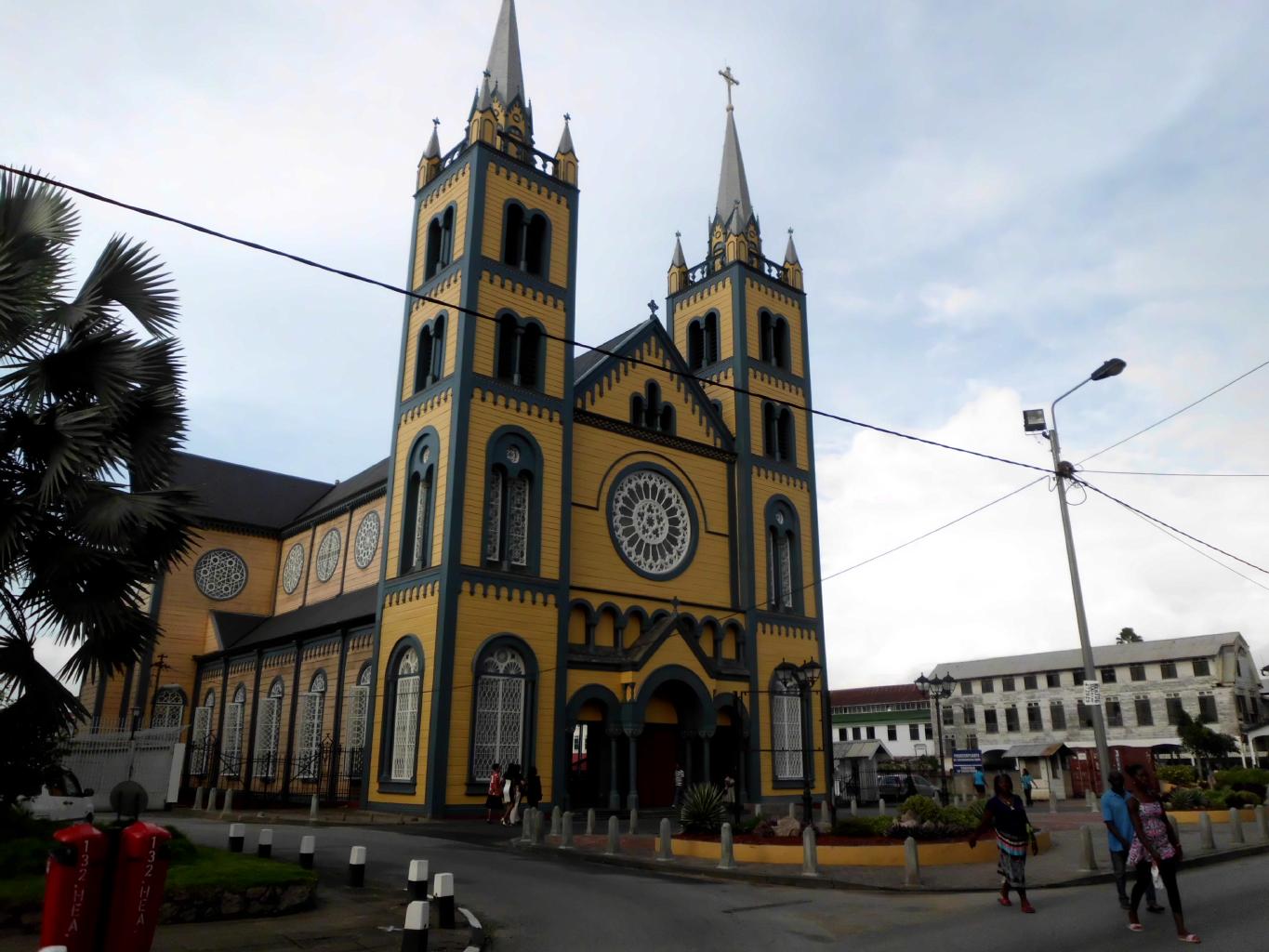
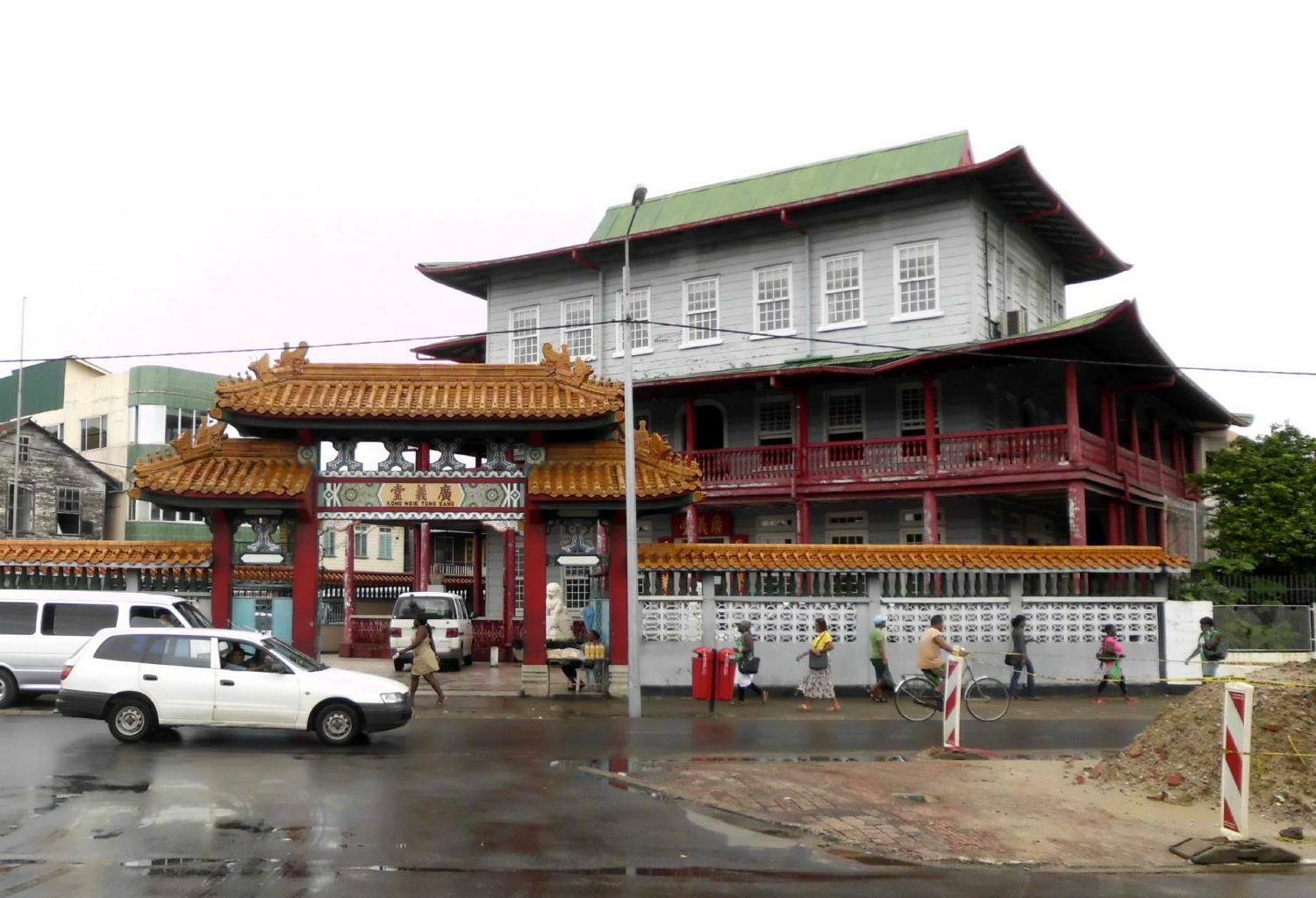
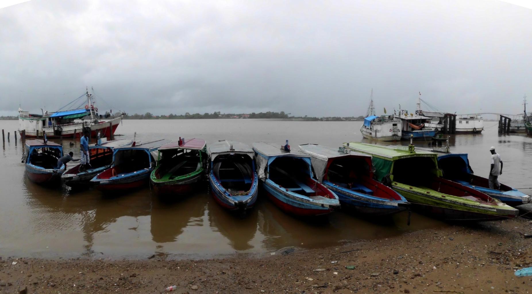
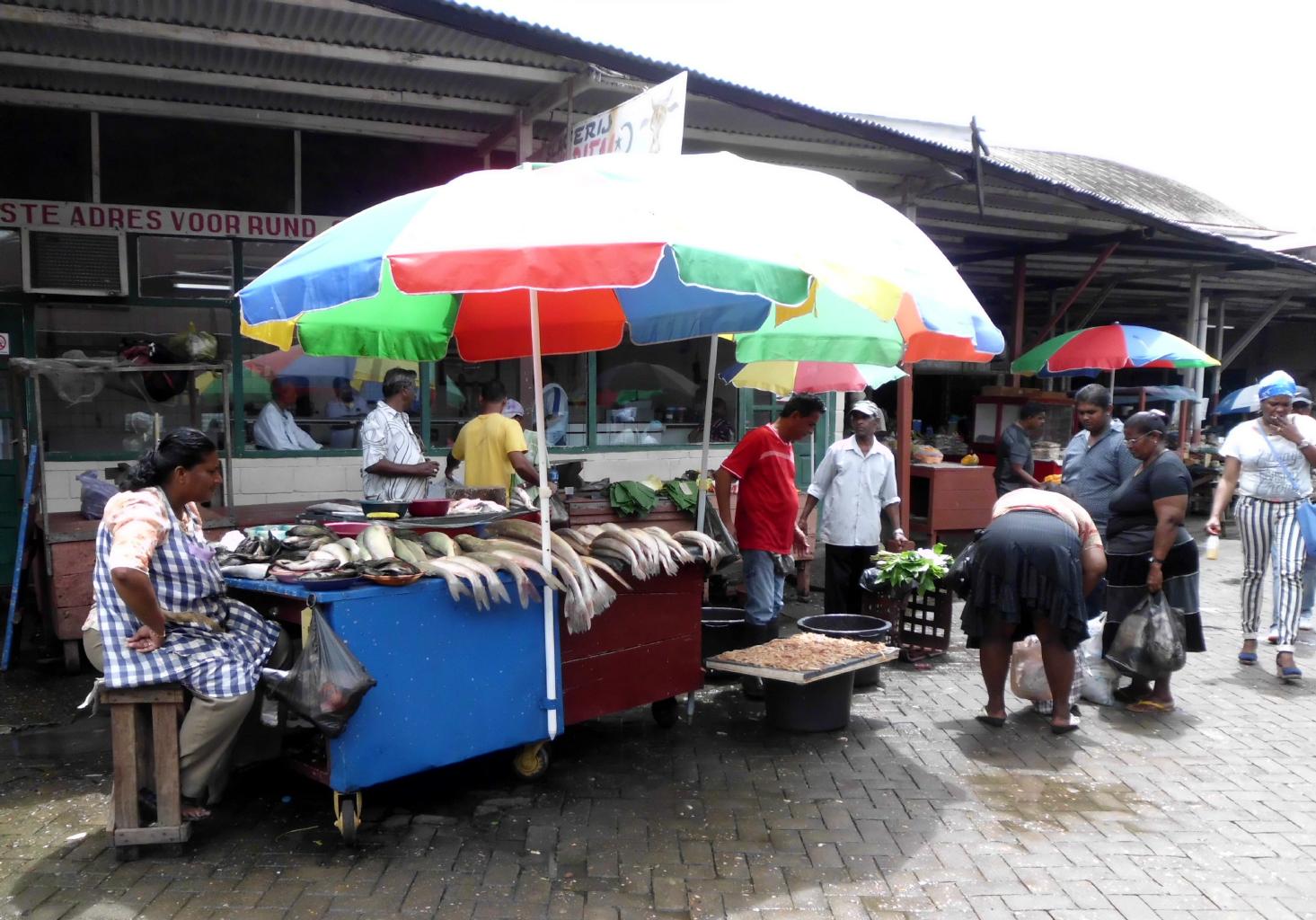
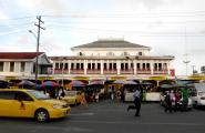
Georgetown is Guyana's capital, its financial center
and the only city with paved streets −
granted, some streets look more like potholes held together
by asphalt.
Georgetown sits on the banks of the big, muddy Demerara River.
The outflow from this river tends to make the nearby Atlantic
beaches somewhat unattractive. (photo below)
This is a city where lumber is clearly the cheapest building material.
From St.George's Cathedral to City Hall and the Parliament building,
every building is built of wood.
Many of these structures are quite handsome.
Fortunately, there've been no major fires here for a while.
Guyana was a British colony until 1966,
so the official language is English.
That makes things easy for me.
However,
Portuguese,
Spanish,
Hindi,
Creole,
Akawaio,
Macushi,
Waiwai,
Arawak,
Patamona,
Warrau,
Carib,
Wapishana and
Arekuna
are also spoken here.
The population is
43% East Indian,
30% African,
9% Amerindian and
18% mixed.
So the food's great.
My favorite restaurant had a *hot* fish curry,
served by someone who looked and talked just like they do in Mumbai.
|

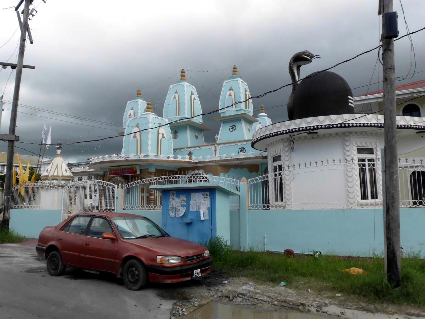
Indian Ashram
|
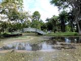
Manatee Ponds
|
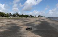
Georgetown beach
|
|
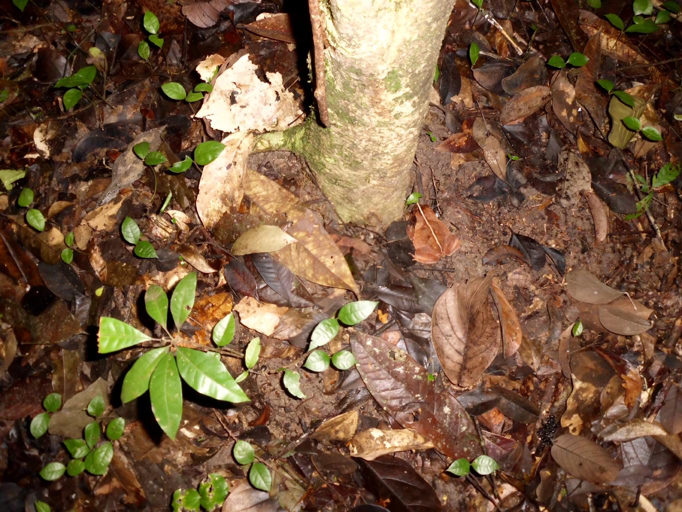
Plants grow everywhere here.
In fact, plants grow on plants.
Naturally, living among all the leaves and flowers
are thousands of species of animals,
which don't necessarily stay on the plants.
For most of the time that I was in Guyana,
there was at least one creature crawling on my body at any given time.
Some of them bit me, too.
Nothing serious though.
Guyana's wildlife is everywhere.
During the daytime, I wandered around town looking at parrots
perched on power lines.
In the city's botanical garden,
there are manatees living in the ornamental ponds.
There were geckos in my hotel bathroom.
(They kept the cockroach population in check.)
At night, I fell asleep either to the thunder of pouring rain
or the cacophony of millions of singing frogs.
Georgetown is colorful and entertaining.
But the real reason for visiting Guyana is to see the interior.
From Georgetown, I organized two adventures.
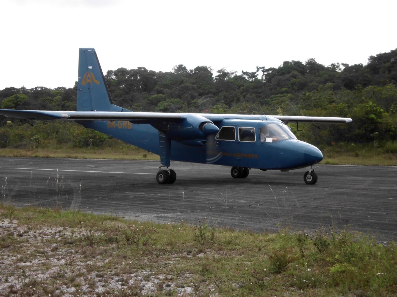
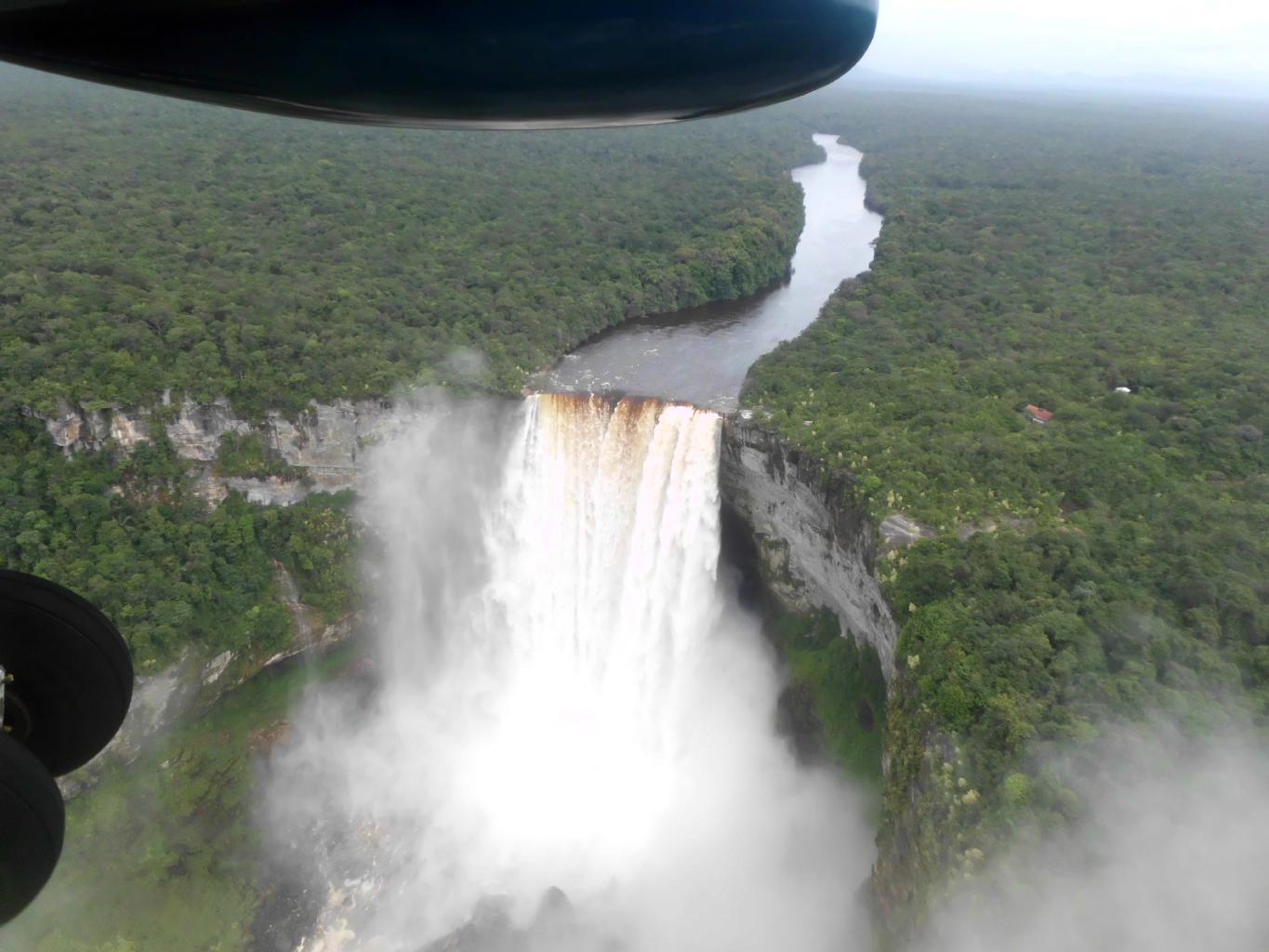
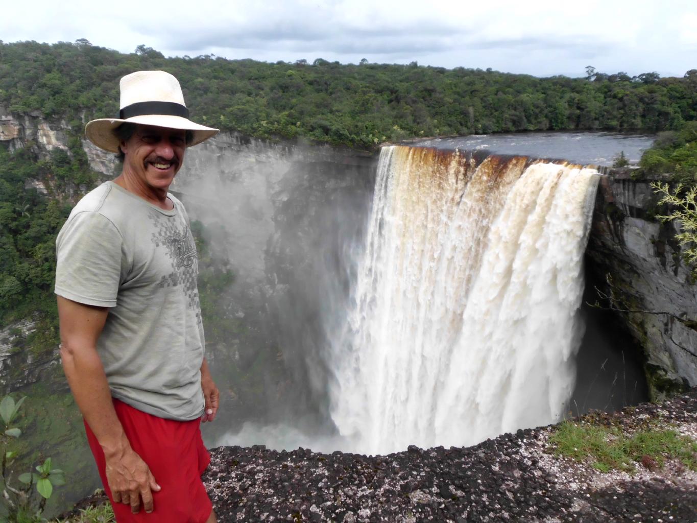
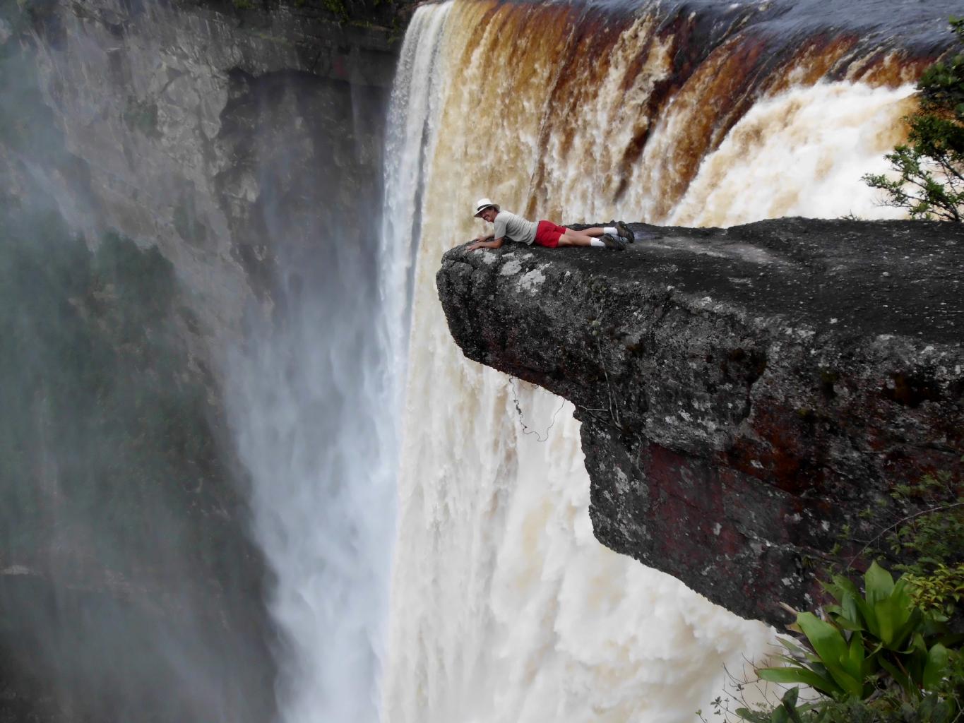
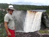
The first adventure was to Kaieteur Falls,
which is so deep into the rainforest
that the only practical way to get there is by plane.
|
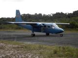
Roraima Airways
|
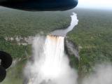
Aerial view of the falls
|
Kaieteur Falls
|
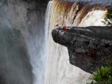
Getting a closer view
|
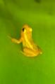
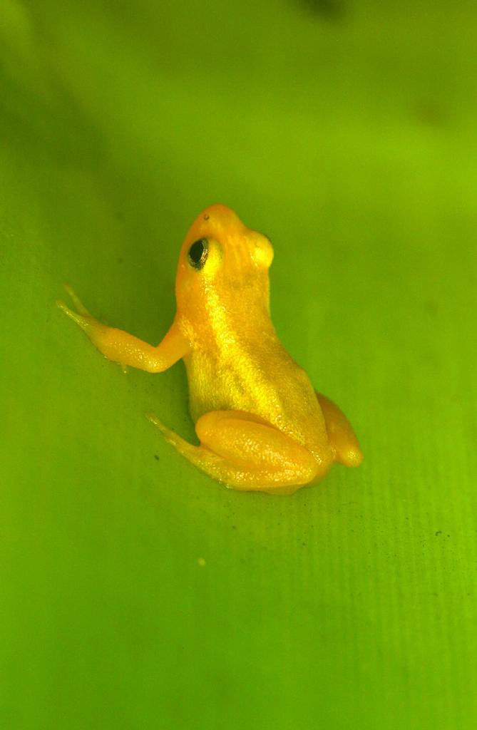
Golden frog
|
|
My second adventure was to the
Iwokrama International Centre for Rainforest Conservation and Development
.
This eco-center is accessible by road − sort of.
To get there requires a 9-hour drive
on a dirt track through the jungle
followed by a ferry across the Essequibo River.
When I boarded the mini-bus in Georgetown,
I wondered why there was a chainsaw between the two front seats.
I learned why later that night when we came to trees
that had fallen across the road.
And this is Guyana's only north-south road to Brazil?
I spent a couple of days deep in the rainforest
with my Amerindian guides learning about trees, flowers, vines,
birds, snakes, lizards, monkeys and insects that
I didn't know existed.
One morning, I heard a terrible screeching in the trees above me.
I looked up and saw a pair of Howler Monkeys
defending their territory
against a pack of Black Spider Monkeys.
There was no actual physical violence
but the "argument" went on for about an hour.
If I could get a translation in English
of what the monkeys were saying to each other,
I'm sure it would be unprintable.
|
|
The Iwokrama Wilderness is about the size of Rhode Island.
Outside its borders, hunting, logging and mining take place.
But a reserve like Iwokrama is
a good start at preserving a magnificent
and unique part of our planet.
|
June 17, 2013 − Suriname
Next logistical challenge: How to get to Suriname?
I'd read conflicting reports about visa requirements
for US citizens entering Suriname.
The only way to get answers was
to visit the Suriname embassy in Georgetown,
which turned out to be a 2-story house in a residential neighborhood
near the Botanical Gardens.
I'd been warned about the embassy's strict dress code,
so I wore my jeans and a real shirt
− albeit smelling of bug repellant and sweat.
Having passed the dress-code requirement,
I was allowed by security to walk up to a plexiglass window
on the outside of the house.
Two ladies inside asked me a few questions about my travel plans.
Five minutes and $25 later, I had a 30-day visa.
Well, that sure was easy!
The embassy ladies also gave me the phone number
of their friend Brian
who could get me to Paramaribo for $40.
The only question that remained was ... why the dress code?
Although one can fly directly from Georgetown to Paramaribo
via
Gum Air
or
Trans Guyana Airways,
one can see more of a country from the ground.
It's also a lot cheaper.
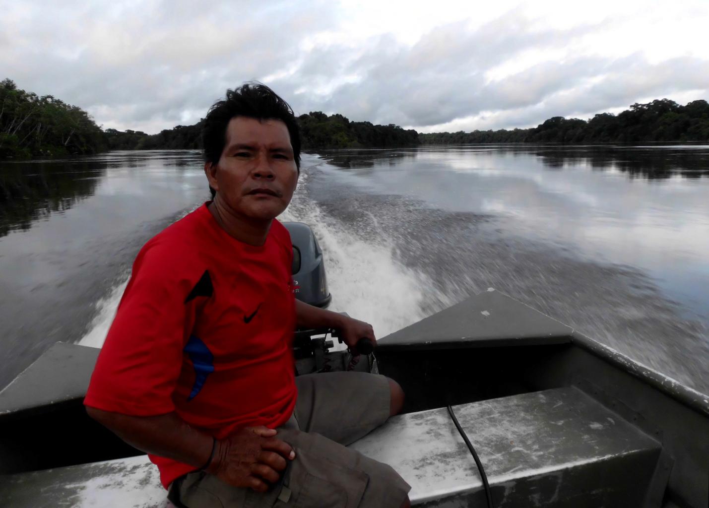
The next morning Brian picked me up at 4:30am, right on schedule.
We spent an hour driving around Georgetown's potholes
in the dark picking up 9 other passengers.
Leaving Georgetown, we drove east along the Atlantic coast,
passing through about 100 small farming and fishing communities.
Each village had its own welcome sign.
Click here
to see a list of these distinctive village names
which reflect the mostly British history of this country.
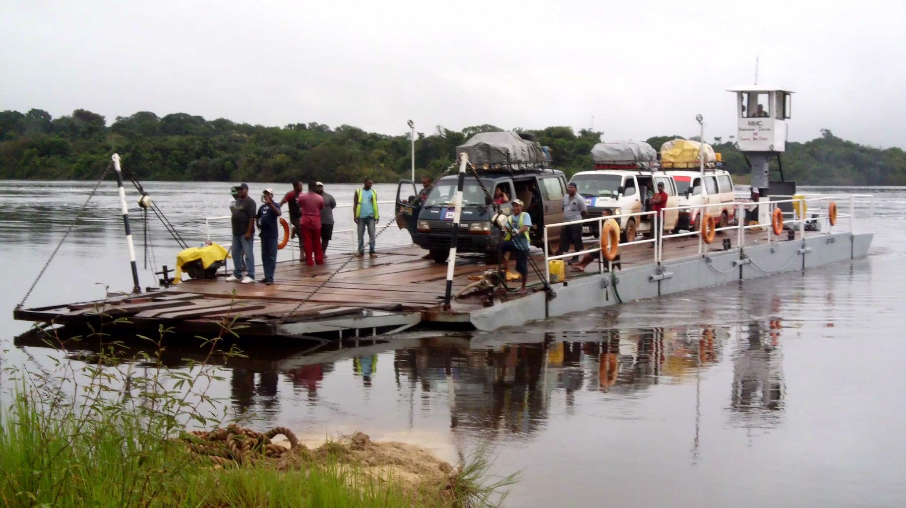
At the Guyana-Suriname border,
there were the usual customs and immigration formalities,
a 30-minute ferry across the wide and sultry Courantyne River,
and then a transfer to a new van.
As soon as we started driving,
I could see that we'd entered a new world.
We were on a paved highway with road signs.
We crossed bridges made of steel and concrete.
Compared to Guyana, Suriname is an affluent 1st world nation.
|
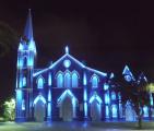
St.Peter & St.Paul
|
Chinese temple
|
Dutch church
|
Mosque and synagogue
|
Indian temple
|
|
The four things that make Suriname unique and interesting are:
- Dutch is the primary language.
- The few tourists that come here are mostly from the Netherlands.
- Euros are the preferred foreign currency, not US dollars.
- The population is even more ethnically diverse than Guyana.
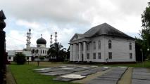
Suriname is
37% Hindustani,
31% mixed Creole,
15% Javanese,
10% Maroon (escaped slaves),
4% Amerindian and
3% Chinese.
Suriname's capital city (Paramaribo) has
Catholic cathedrals,
Chinese temples,
Protestant churches,
Islamic mosques,
Jewish synagogues,
and Indian ashrams
all packed within a few blocks of each other.
The mosque and synagogue practically share the same parking lot.
Suriname has a healthy sense of tolerance and acceptance.
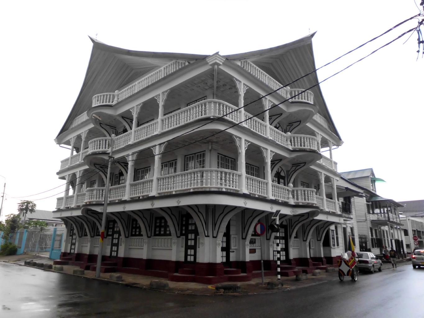
|

Classic Paramaribo homes
|
Lim a Po Straat
|
Fort Zeelandia
|
The Palmentuin
|
|
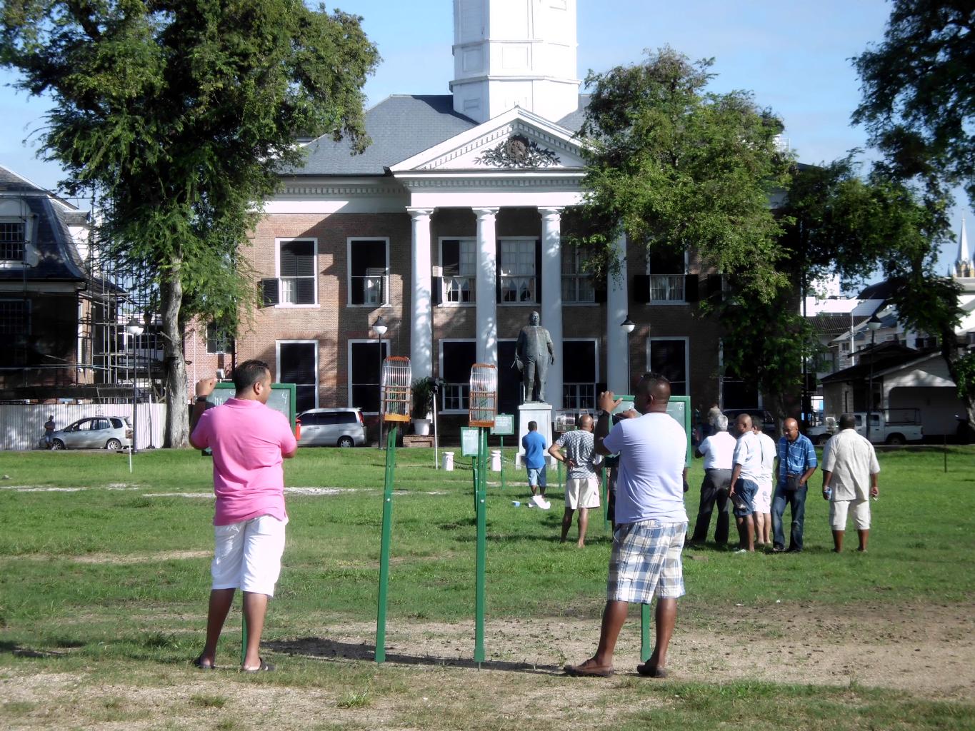
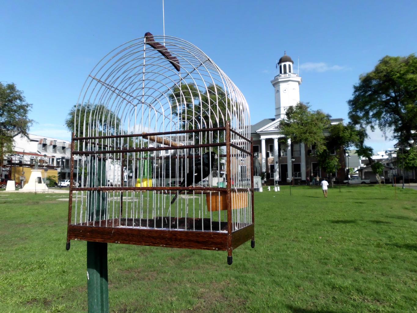
The highlight of my visit to Paramaribo was
the Sunday morning songbird competition.
It's a weekly event in which people − mostly men −
engage in peaceful yet secretly cutthroat birdsong competitions
on Independence Square.
Everyone brings their favorite twatwa (songbird),
usually a seed finch purchased from Amerindian people in the interior.
The twatwa that sings the most wins.
Birds are paired up.
During the 10-minute competitions,
independent judges make a mark on a chalk board
for each time that a bird sings for more than 3 seconds.
The streets around the square are blocked off to vehicles
to eliminate external noises.
The spectators stand quietly listening to each pair of contestants.
With about 100 birds in cages all around the green,
it's a delightful Sunday morning concert.
|
Songbird competition
|
The judges
|
One of the contestants
|
|
Evidently, these tiny birds are very sensitive and
are under a great deal of pressure to perform.
In some cases, twatwas have collapsed and died
after having been shown up by a competitor.
I'm told that a winning bird is expensive.
Owners are known to have traded their cars for a bird.
I asked one spectator to explain the sport to me.
He said "'Da bird. Dey sing. You get a point.
Mas points win. Jus like football."
Right, just like football!
|
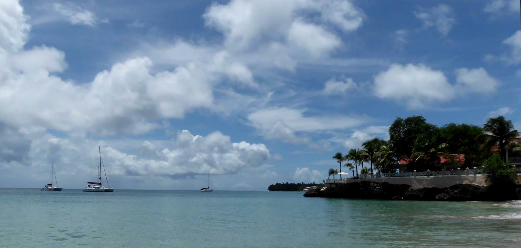
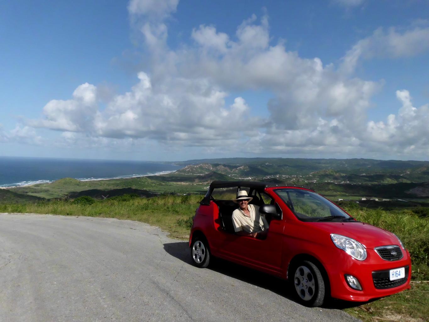
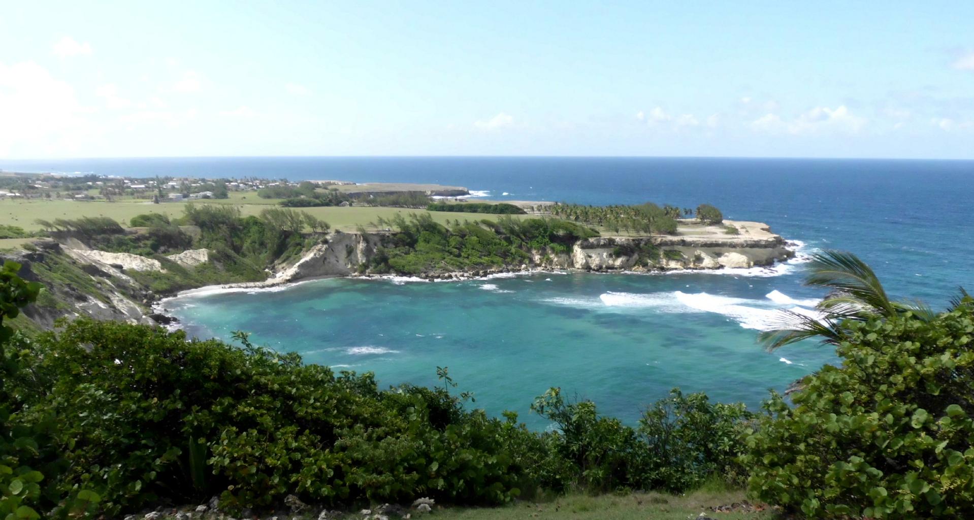
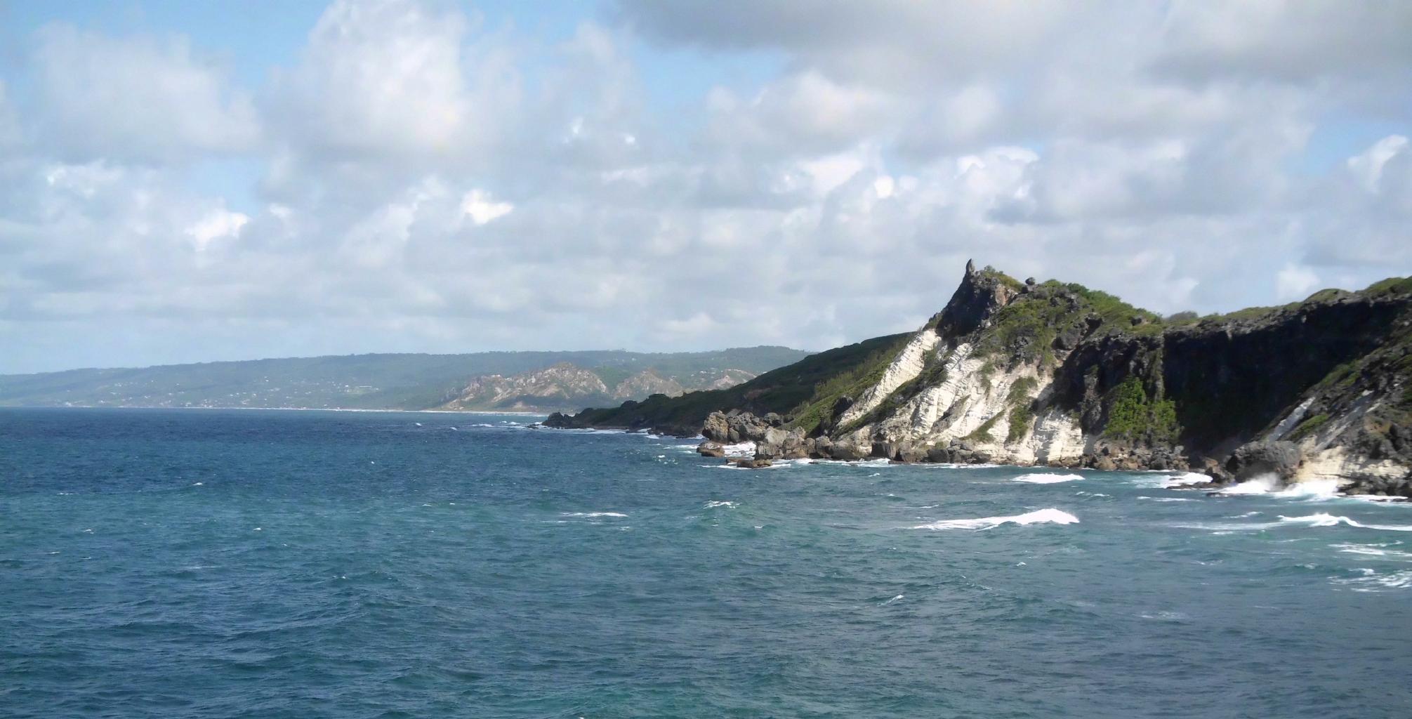
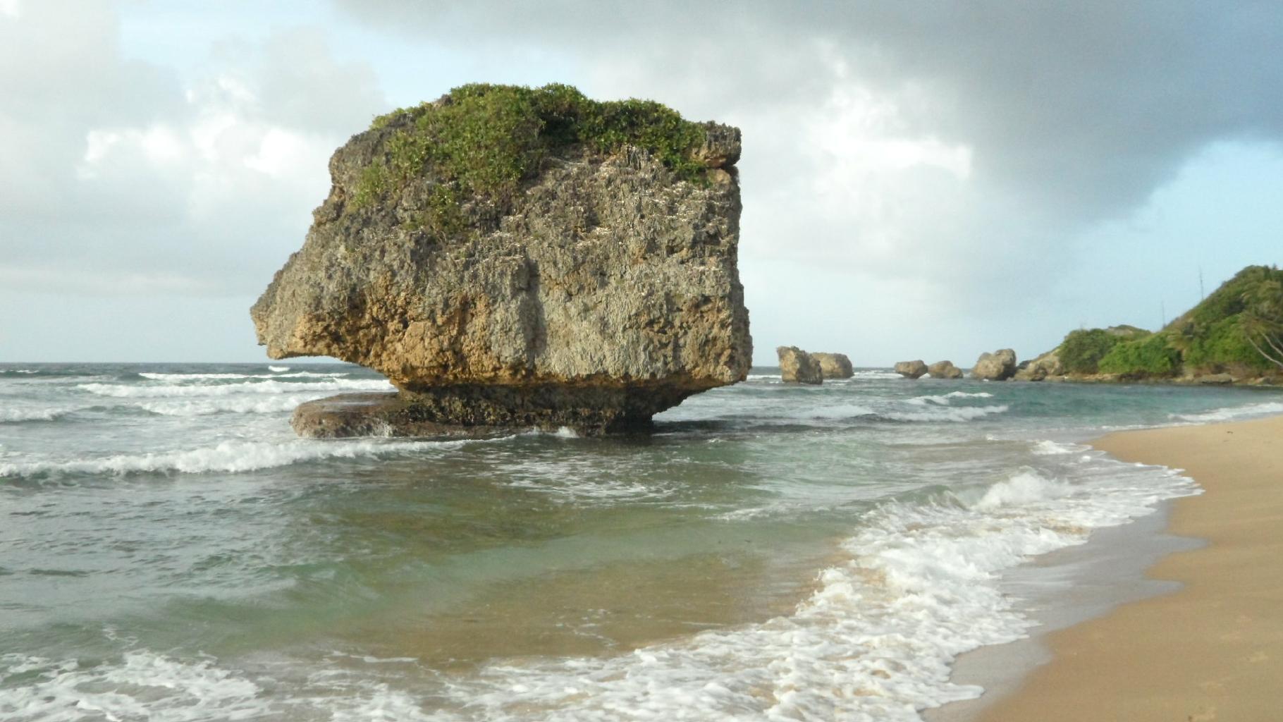
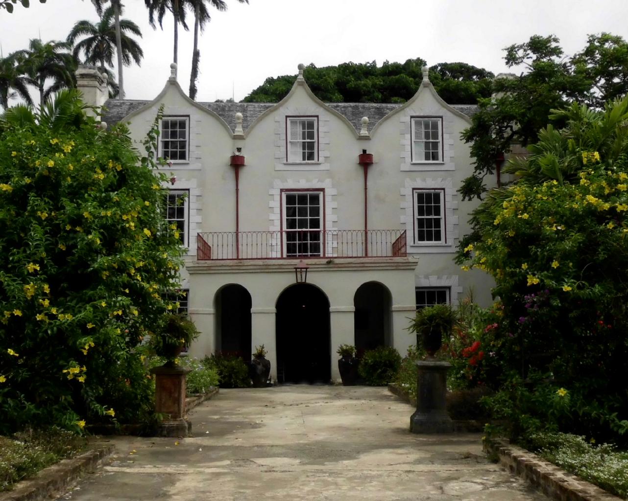
June 23, 2013 − Barbados
Barbados and Grenada are two former British colonies.
Barbados has the distinction of being
the only Caribbean island
that didn’t change hands during the colonial period.
Both islands became independent from the UK about 40 years ago.
Today, they offer beautiful scenery and great tourist facilities.
They’re well worth a visit.
These islands are fairly small, about the size of Lana’i in Hawaii.
So, they’re easy to get around and explore.
Barbados is larger than Grenada, but not by much.
I started with Barbados because it was easy to get to from Suriname.
As soon as I got off the plane, I could smell the sea breezes,
which were dry (!) compared to the humidity of Suriname.
It was also easier to understand the local language.
Bejans speak a mixture of British English and Creole.
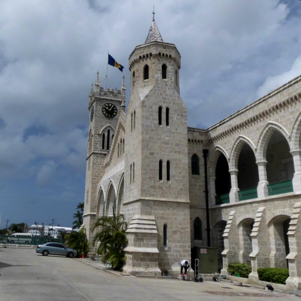
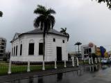
The capital is Bridgetown,
a tidy little port town with some old buildings,
tourist services, and a statue of Lord Nelson.
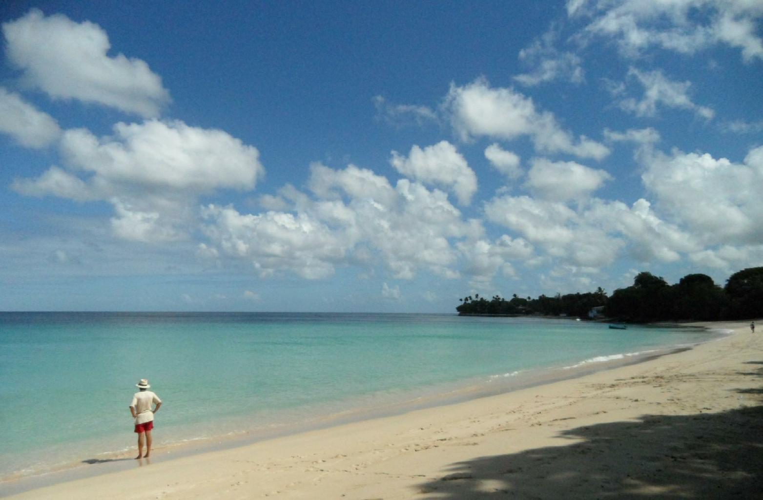
The nearby beaches and resorts are full of ... well ... people.
|
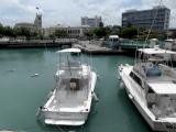
Bridgetown
|
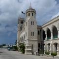
Parliament
|
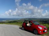
M10 Mini-moke
|
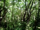
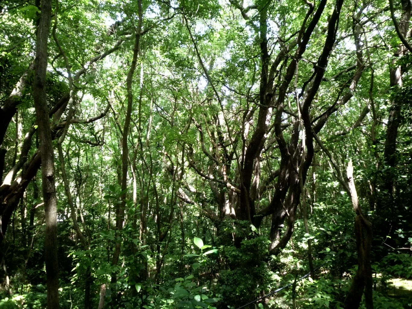
Mahogany forest
|
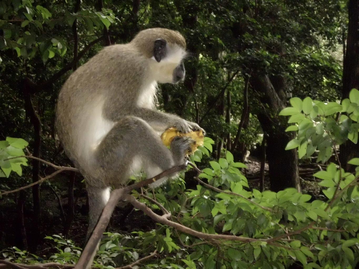
Green monkey
|
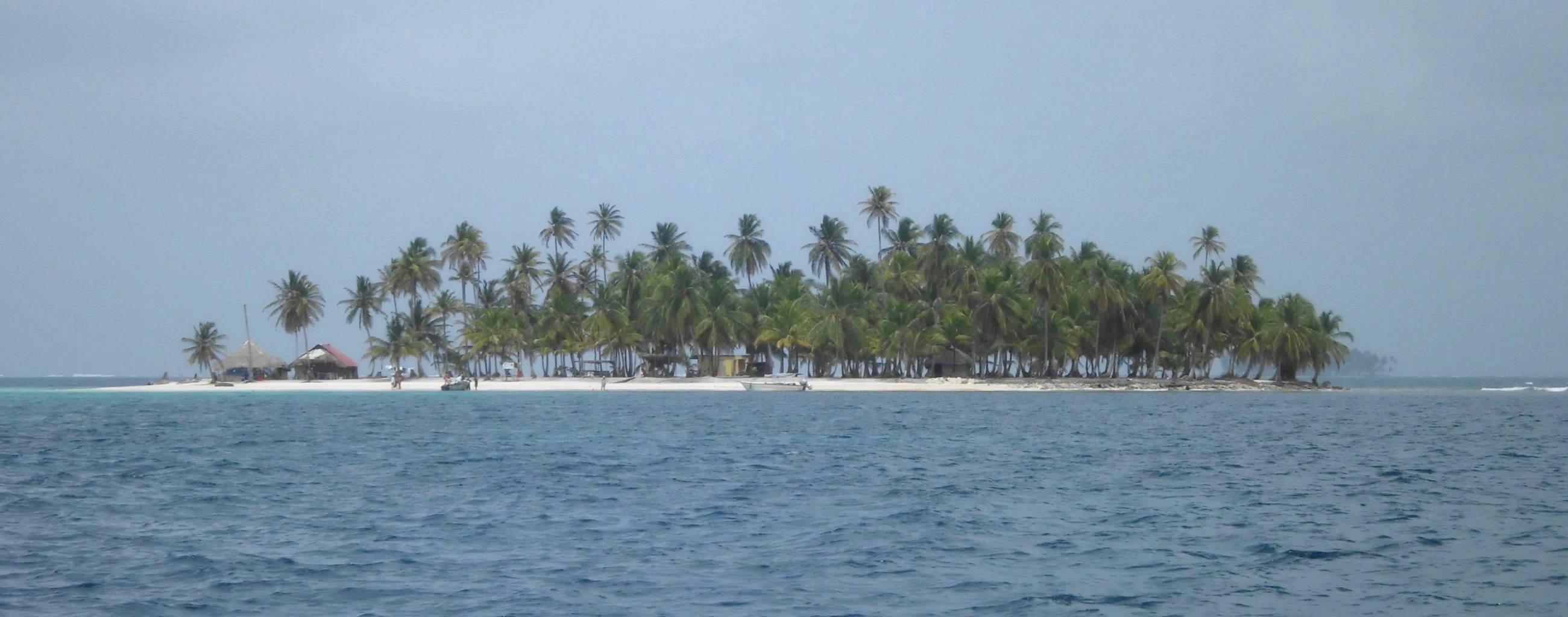
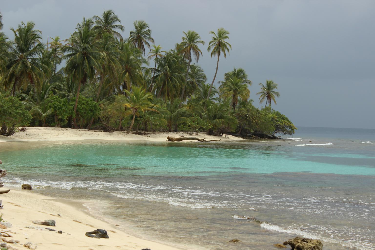
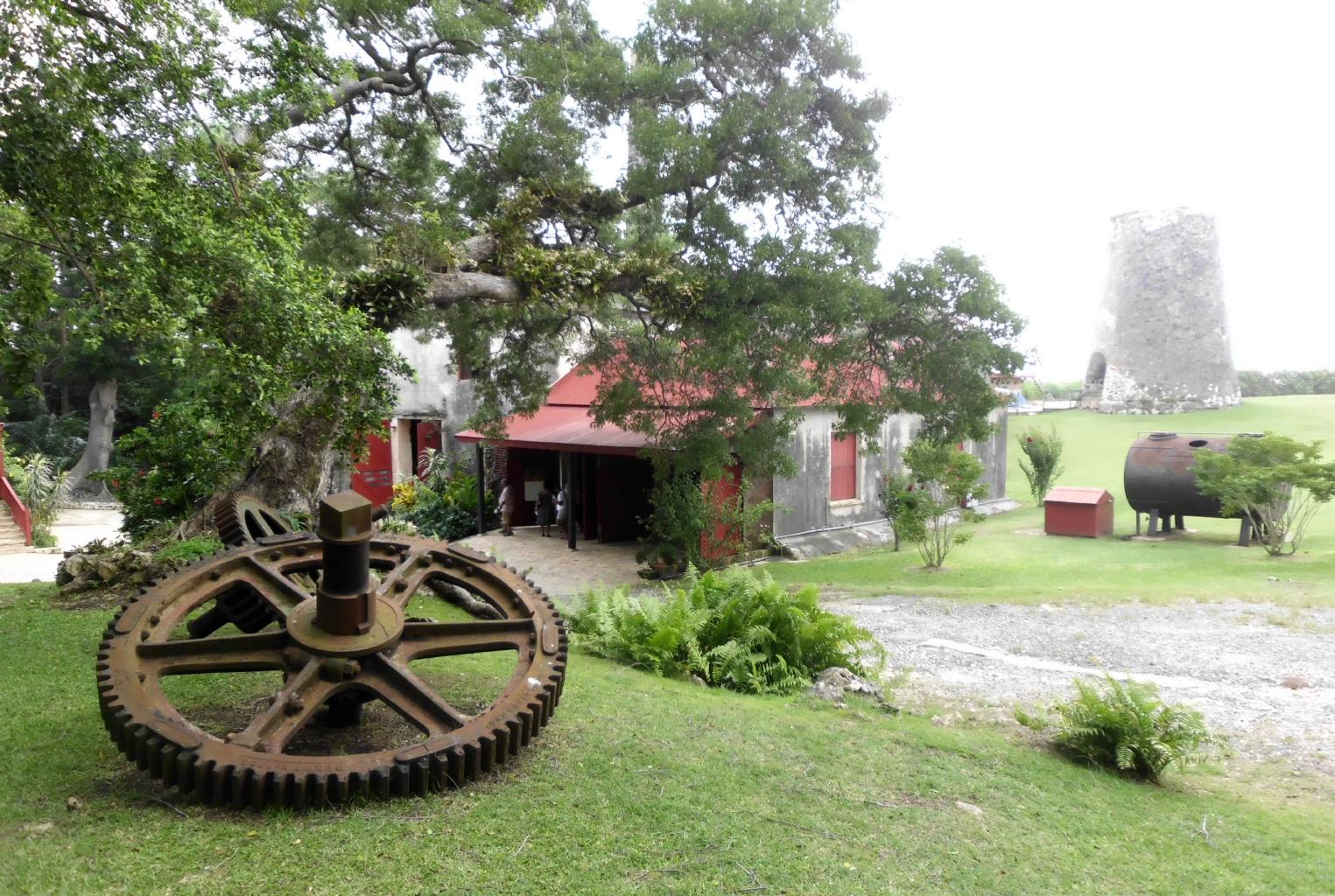
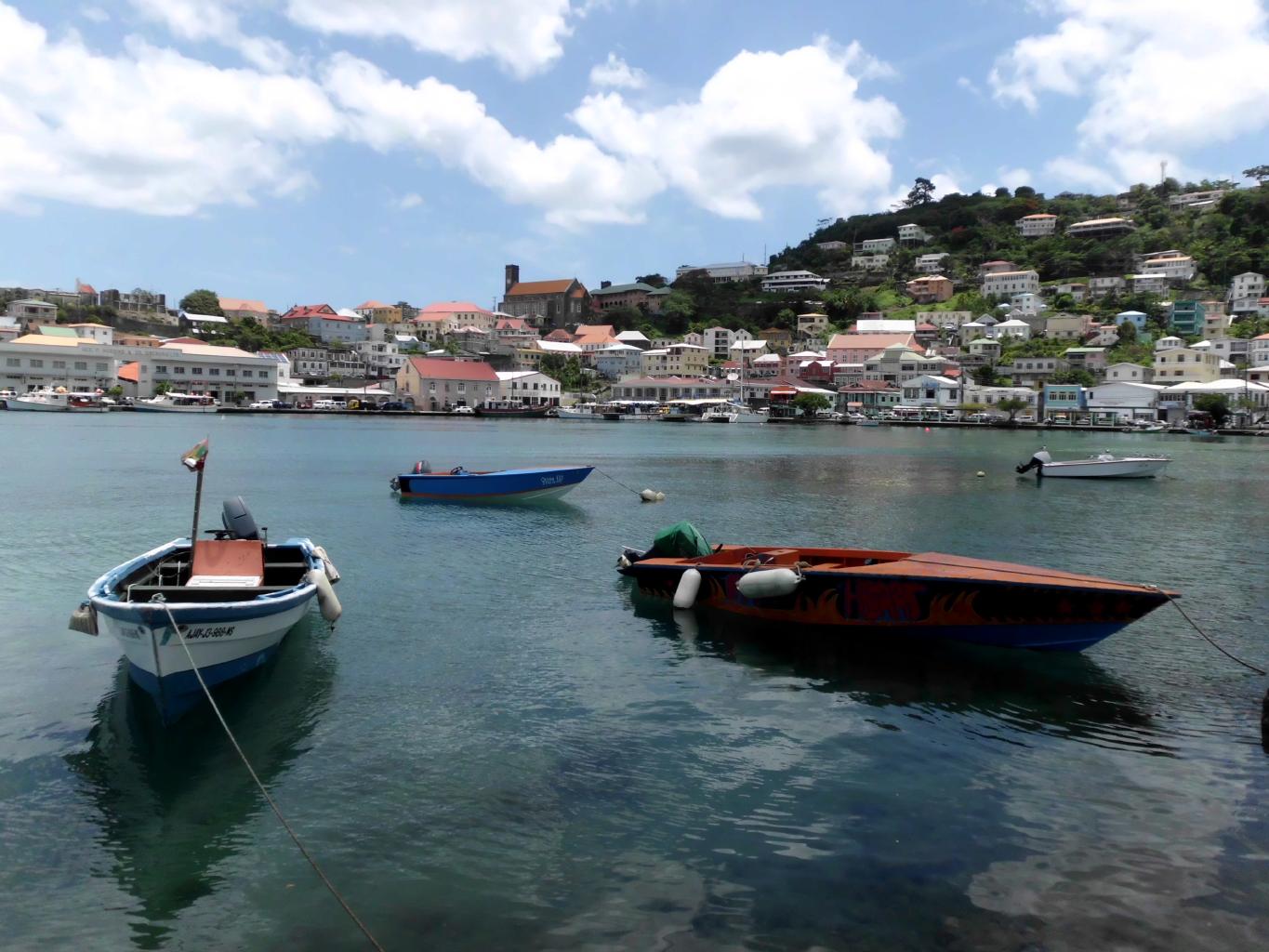
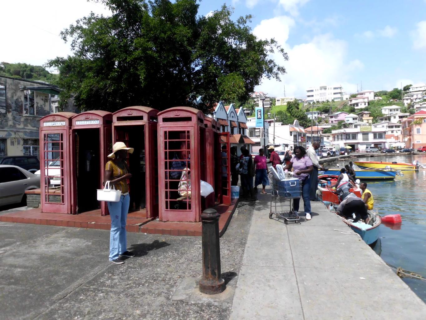
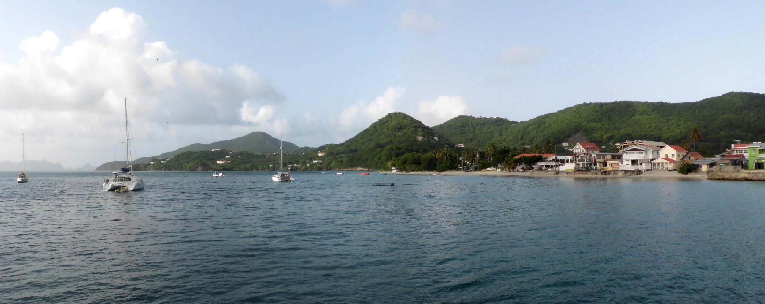
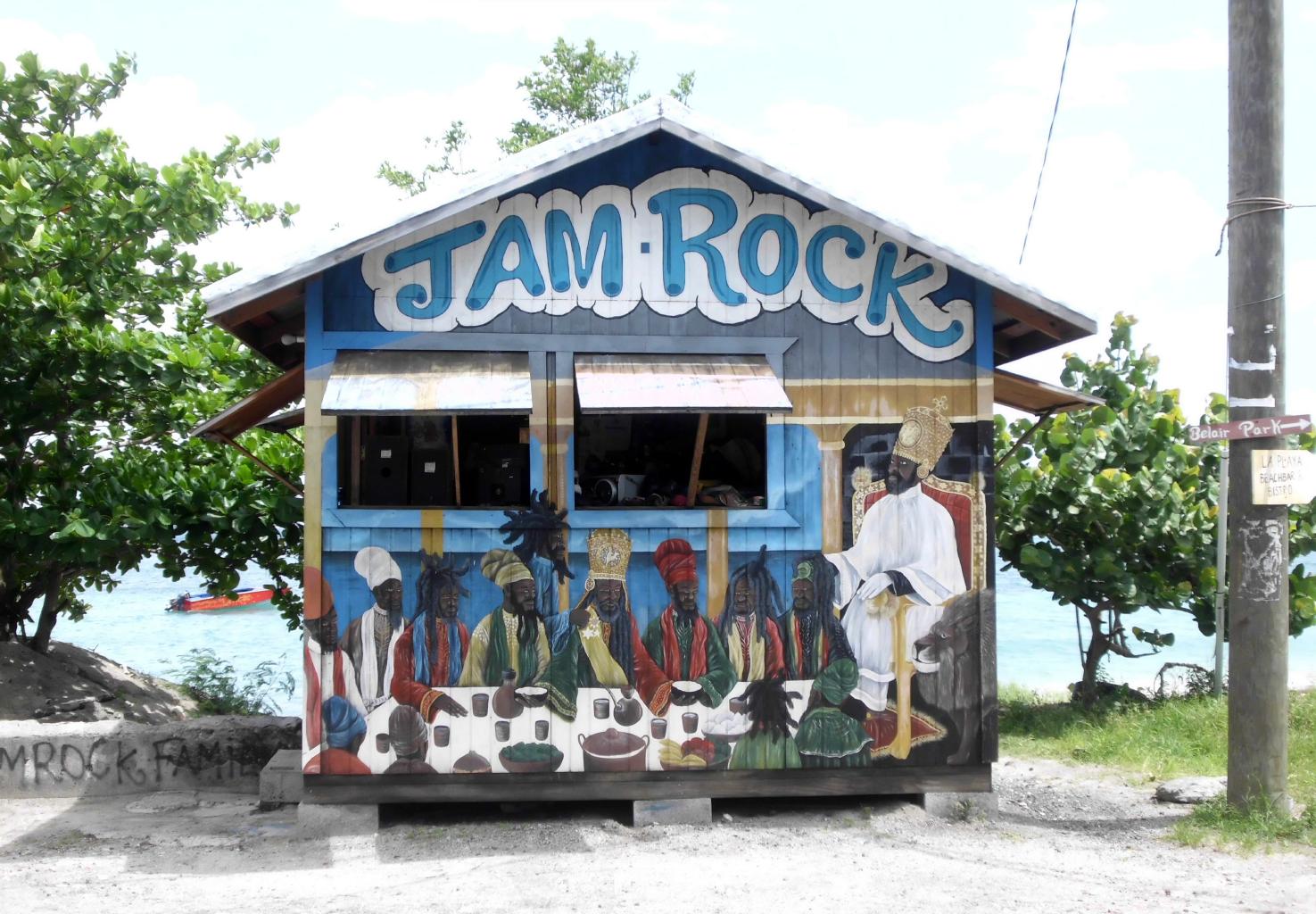
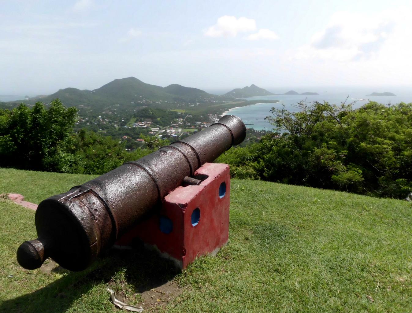
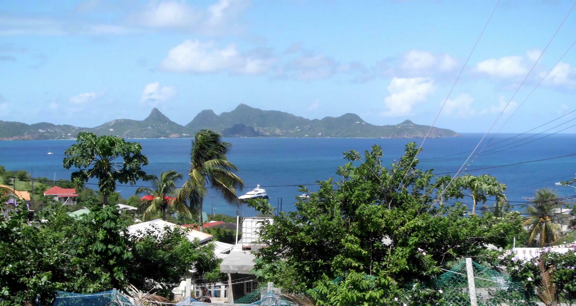
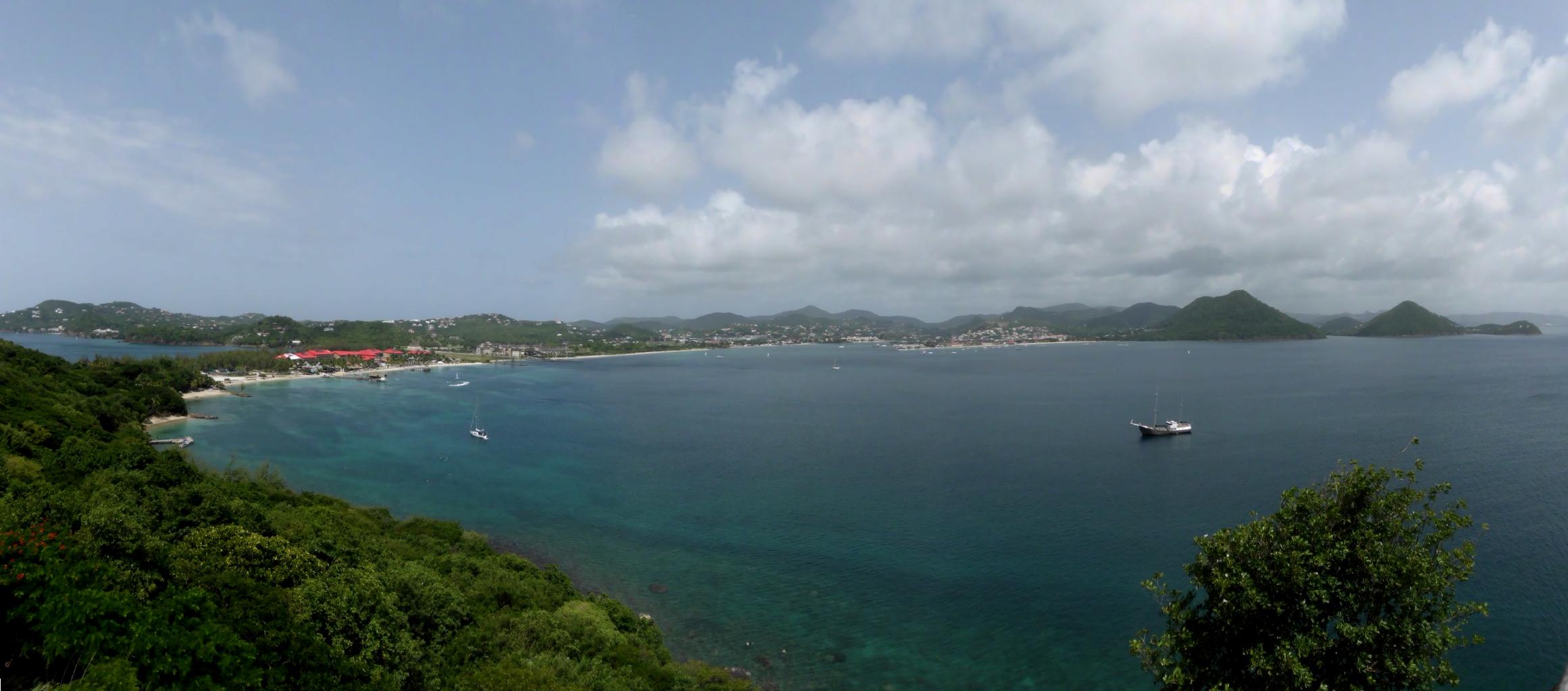
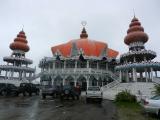
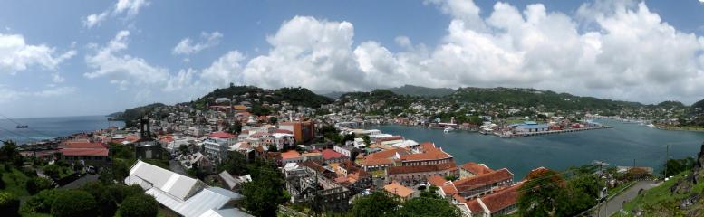
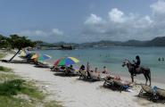
June 25, 2013 − Grenada
From Barbados, it was a short hop to Grenada via
Liat Airlines.
The port of St.George is Grenada’s capital and it’s a gem.
It’s said to be the prettiest island capital in the Caribbean.
I’d agree.
|
The view from Fort George
|
|
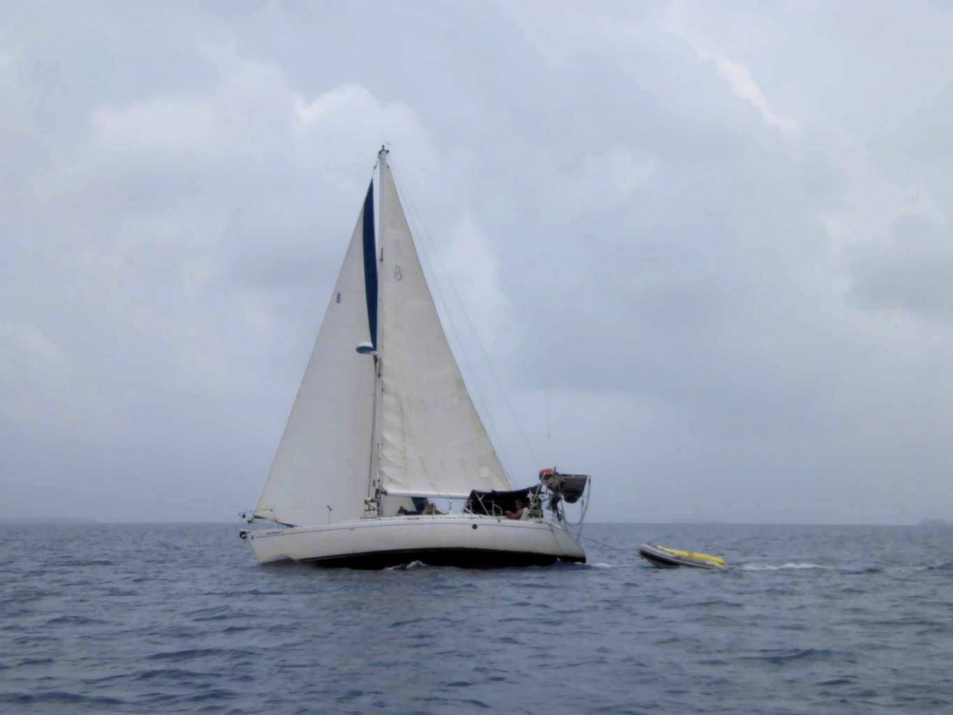
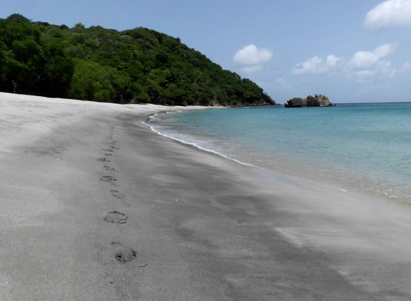
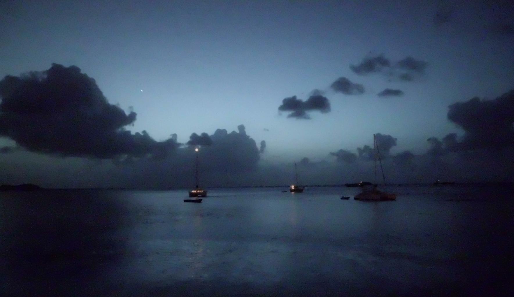
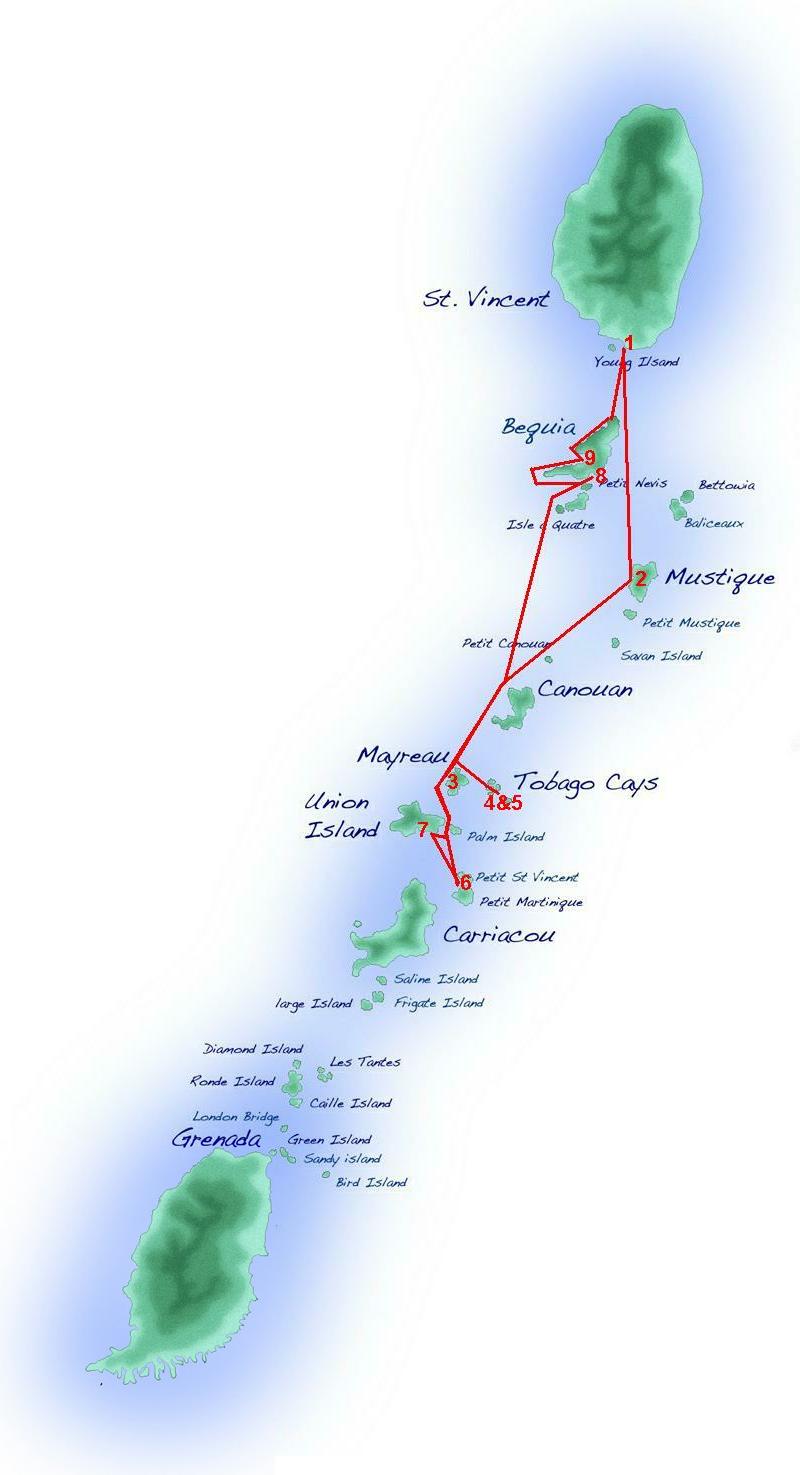
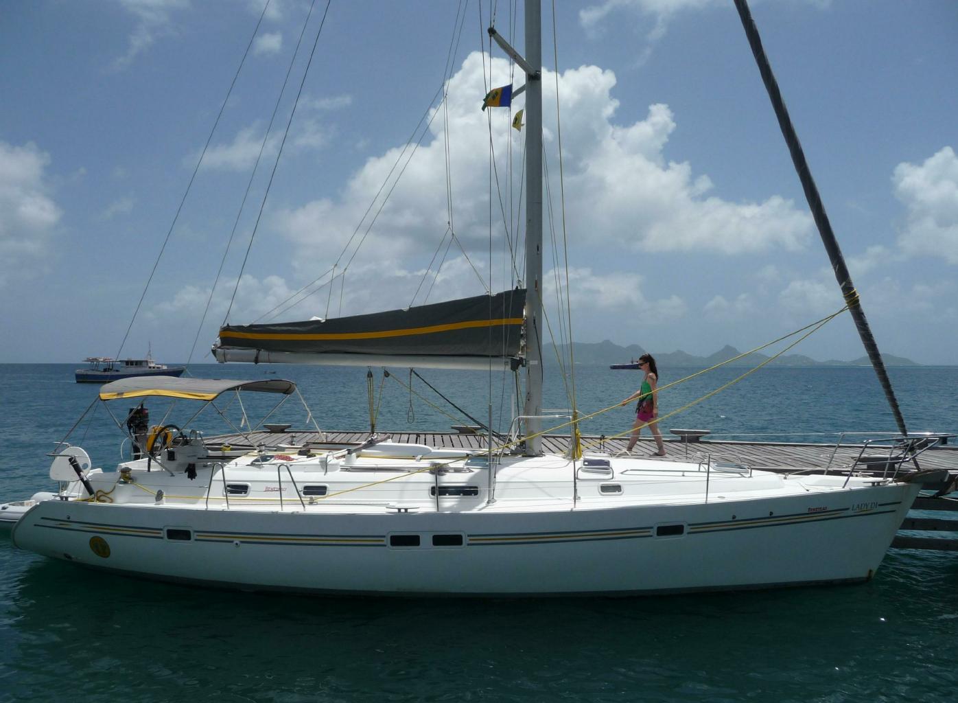
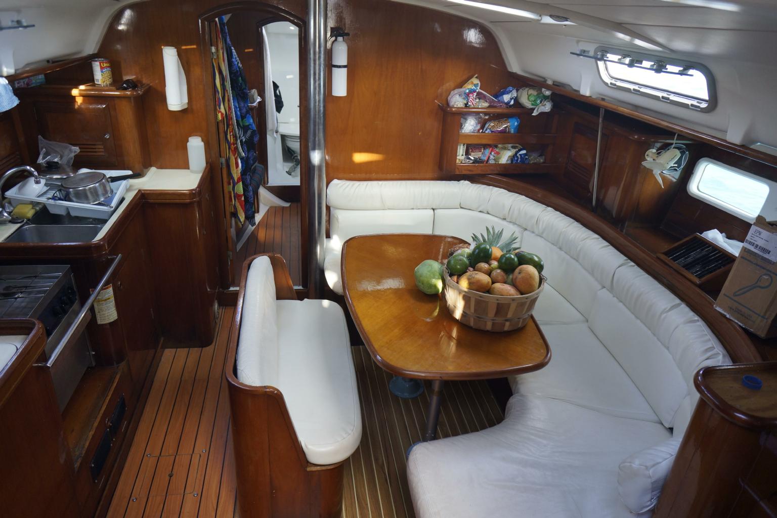
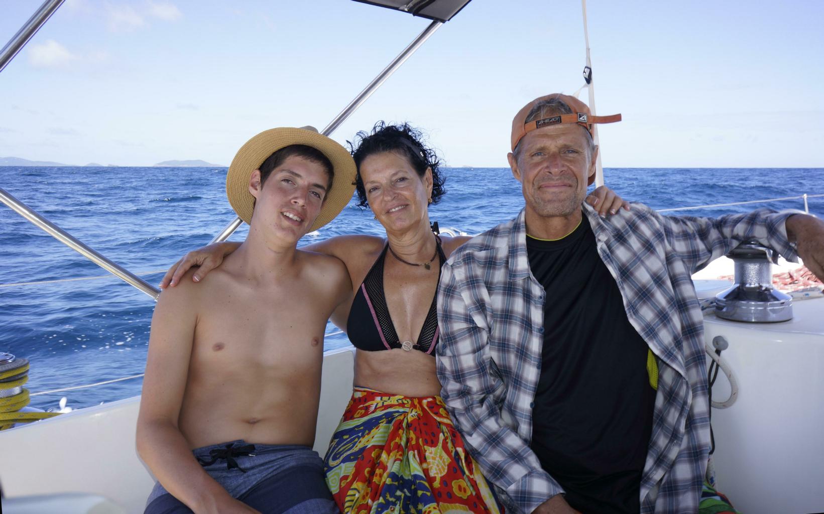
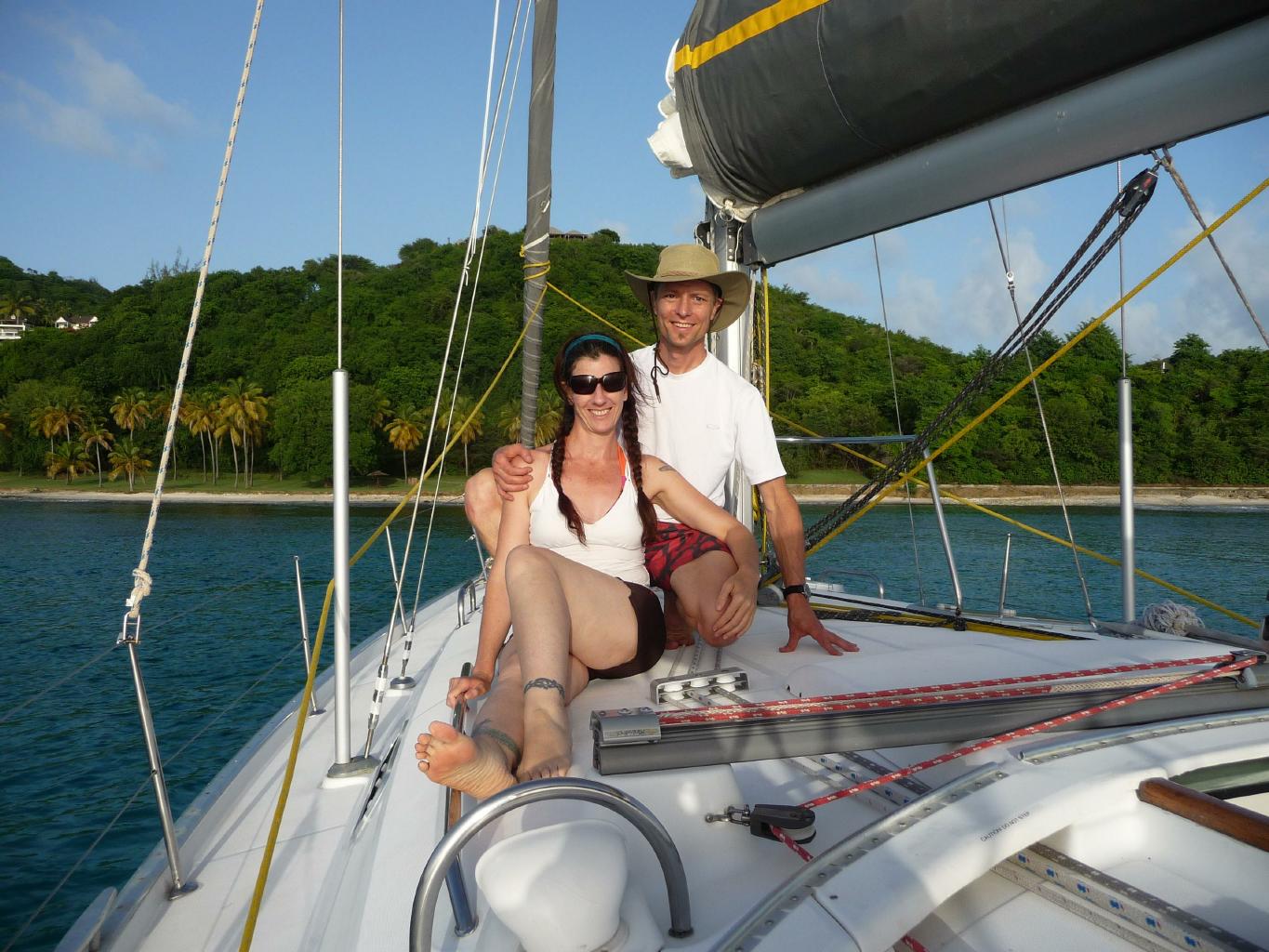
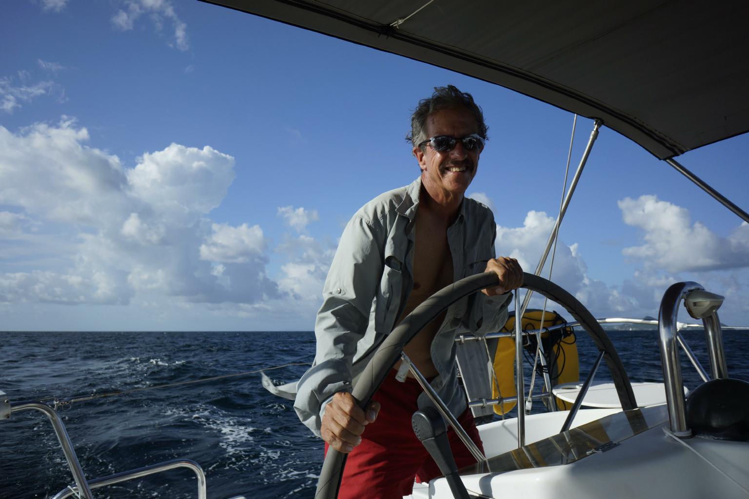
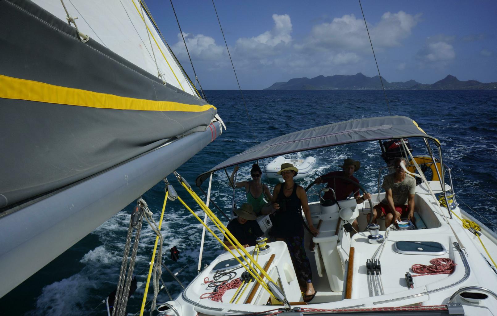
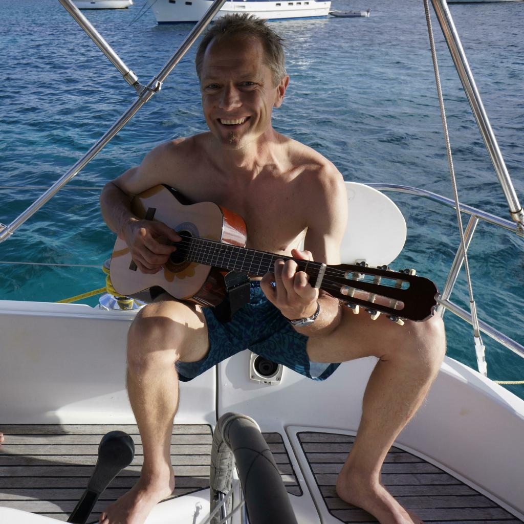
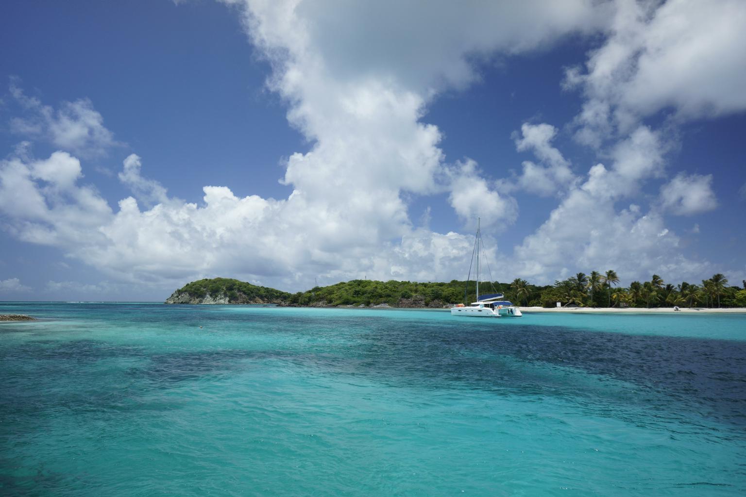
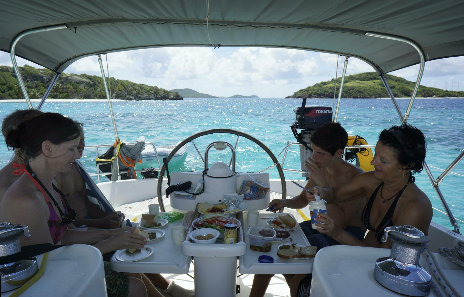
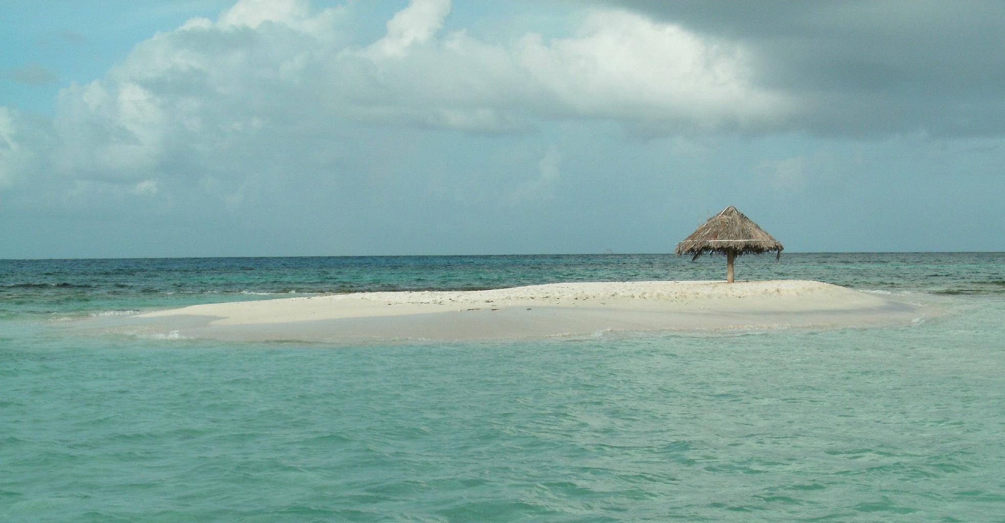
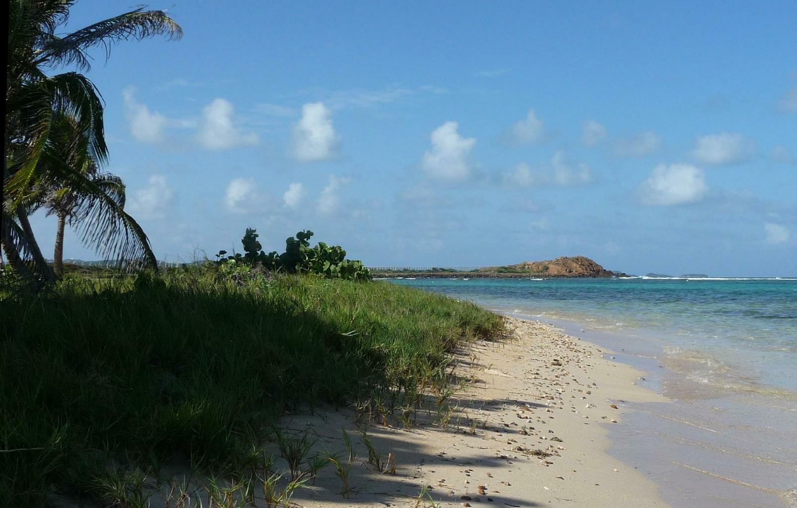
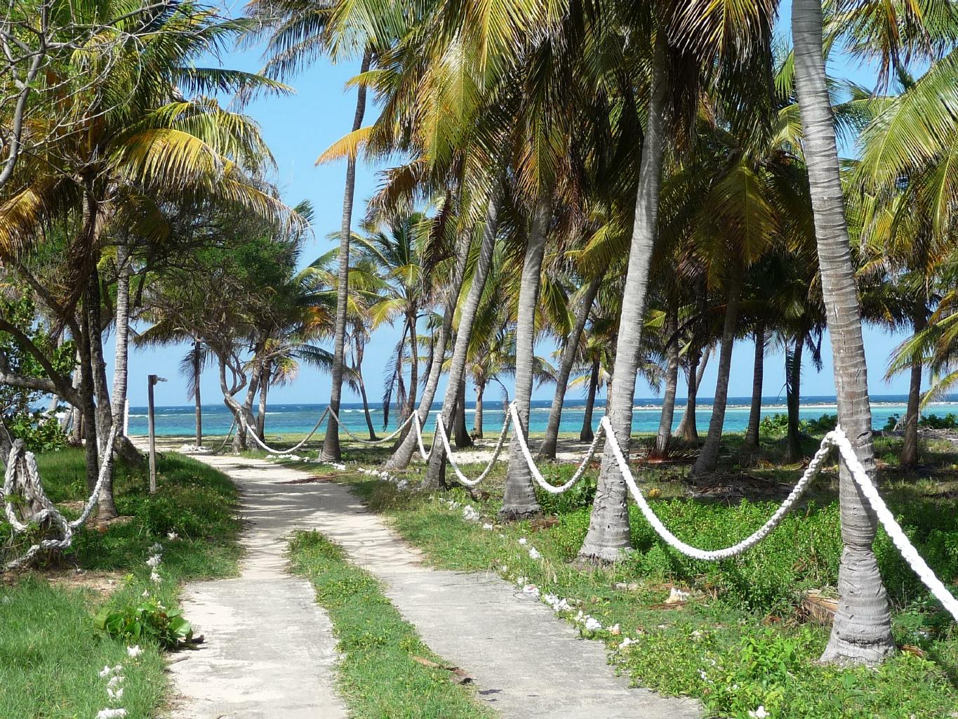
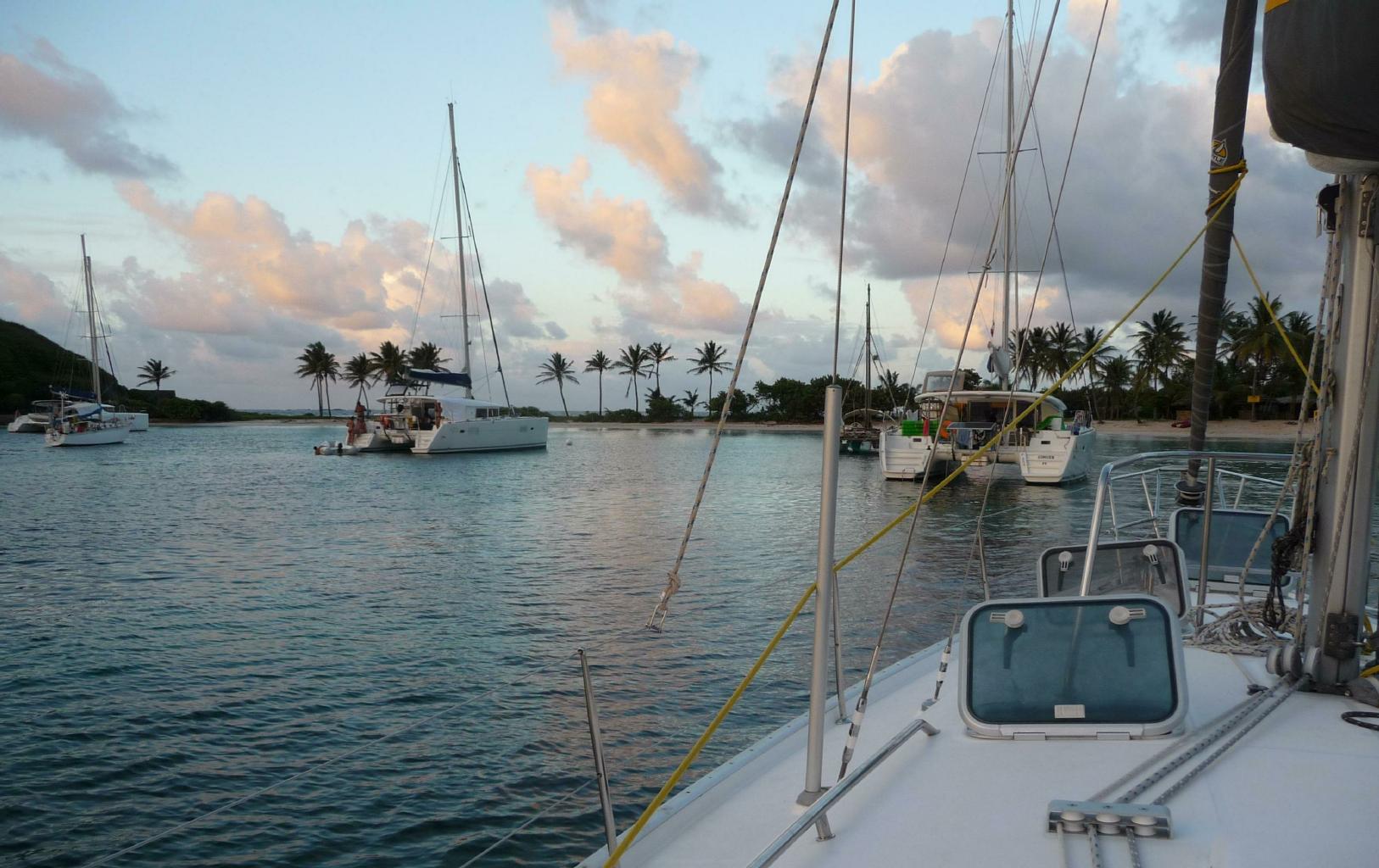
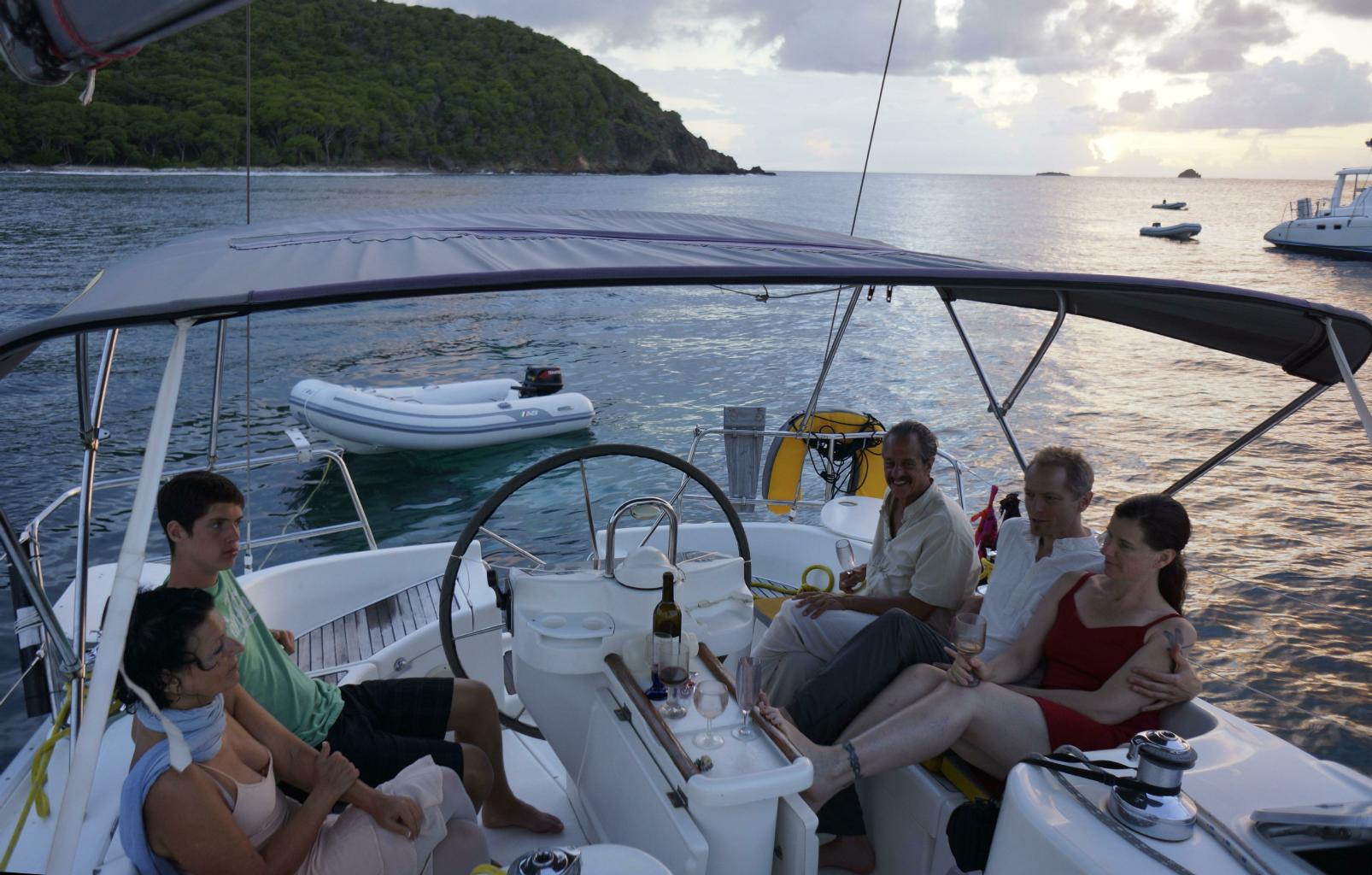
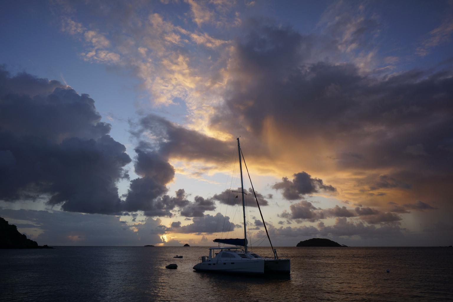
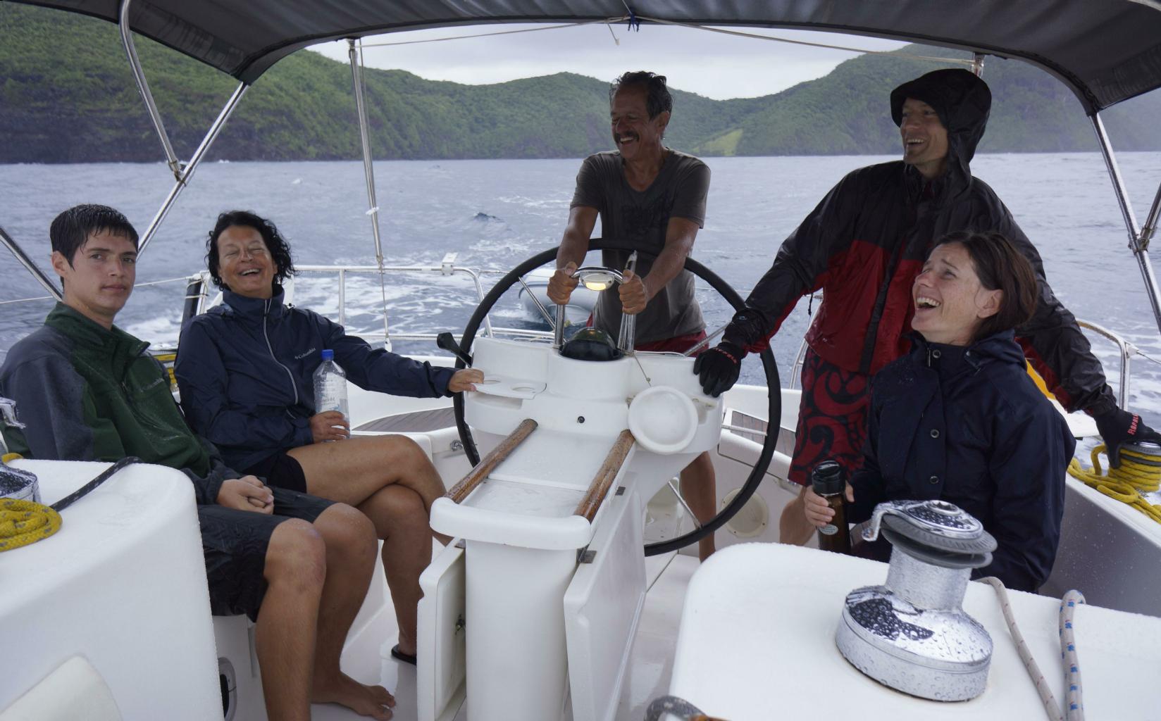
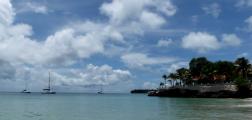
In our 9 days of sailing,
we were blessed with 8 days of
sunshine,
calm seas and
steady tradewinds.
Then, on our final day,
tropical storm Chantal blew through the Windward Isles.
The rain came down like hail,
the winds were uncooperative.
the swells were about 2 meters, and
visibility occasionally dropped to zero.
However, by this point in our journey,
we had become well-seasoned and happy sailors.
As you can see from the photo to the right,
we didn't mind getting wet.
|
A touch of foul weather
|
July 13, 2013 − Saint Lucia
After relinquishing the keys to the Lady Di in St.Vincent,
I hopped a short flight to St.Lucia.
Although the flight to St.Lucia lasted only 20 minutes,
the wait time for the flight was 10 hours because
LIAT Airlines
lived up to their name:
Late In All Terminals.
Travel is not always fun and easy.
In this part of the world,
one must adapt to "island time".
I came to St.Lucia out of curiosity.
During the 18th century,
Britain and France fought hard for this island.
Colonial control changed hands 12 times in 100 years.
The fortresses are topped with French and British canons.
The towns have names like Gros Islet and Vieux Fort,
while the streets are named Victoria Street and Calvary Road.
Walking around the town of Castries today,
you'll hear St.Lucians
speaking their own blend of French and English,
with a Calypso twist.
|
View of Gros Islet from Pigeon Island
|
Rodney Bay beach
|
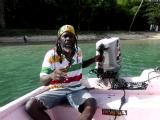
Water taxi driver
|
|
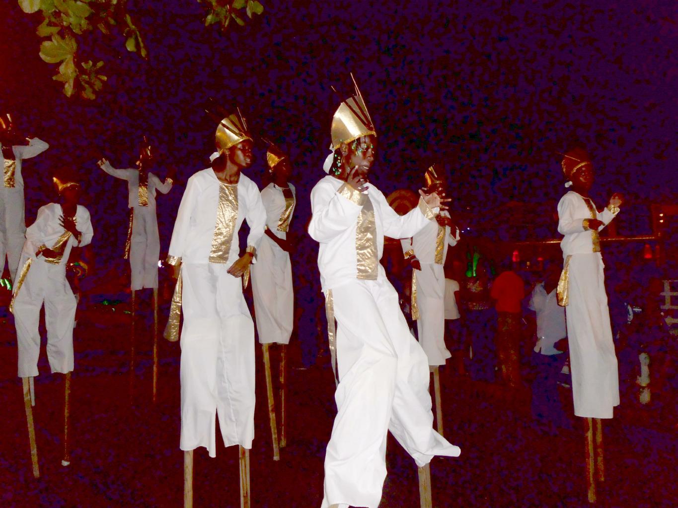
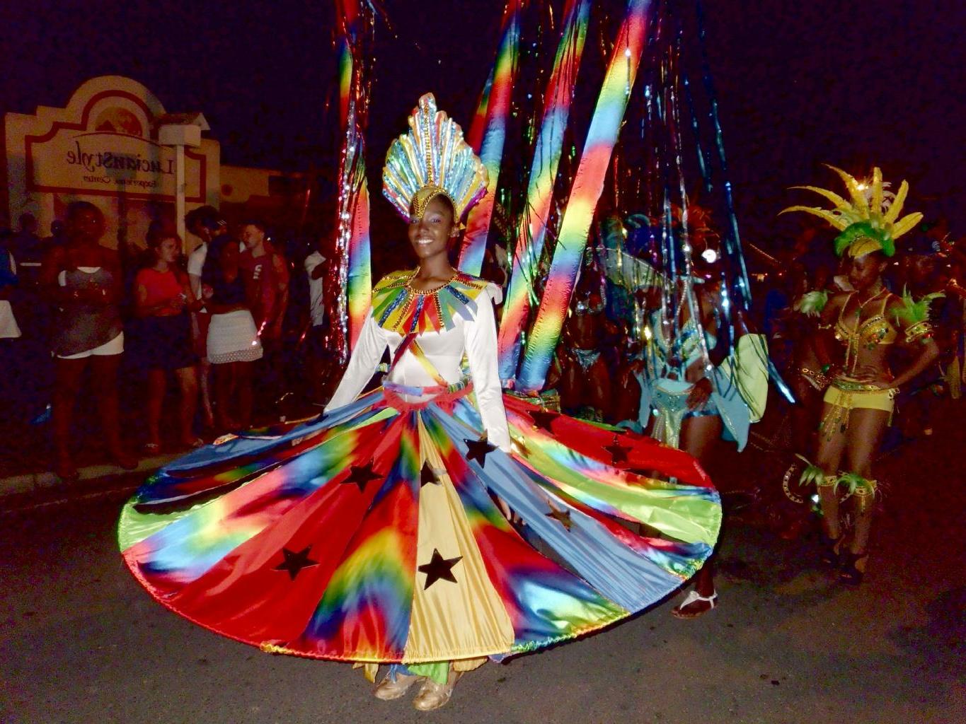
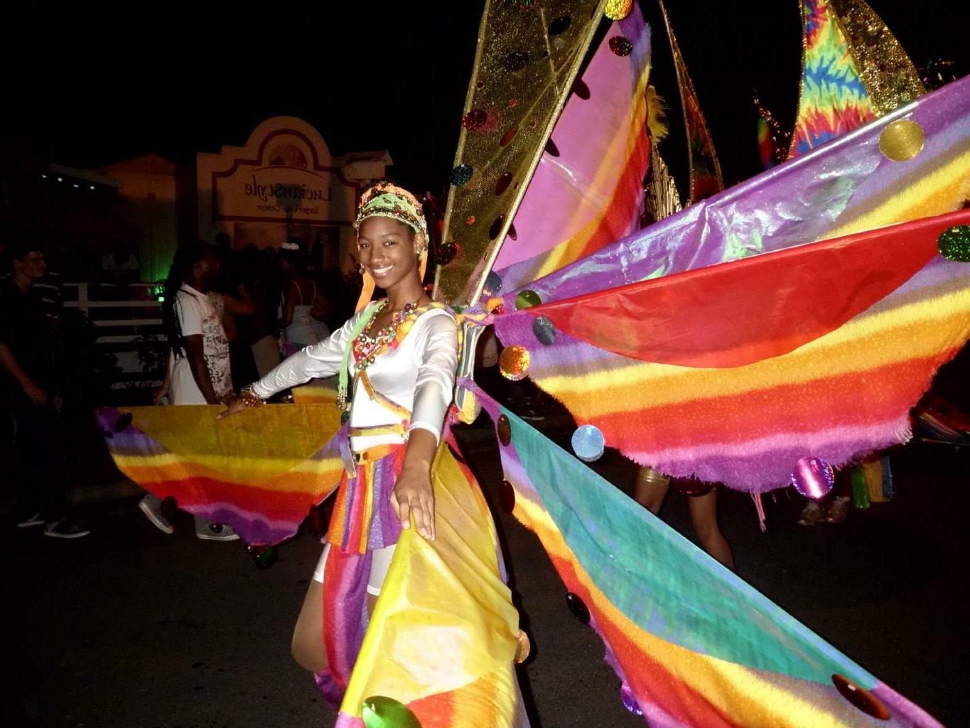
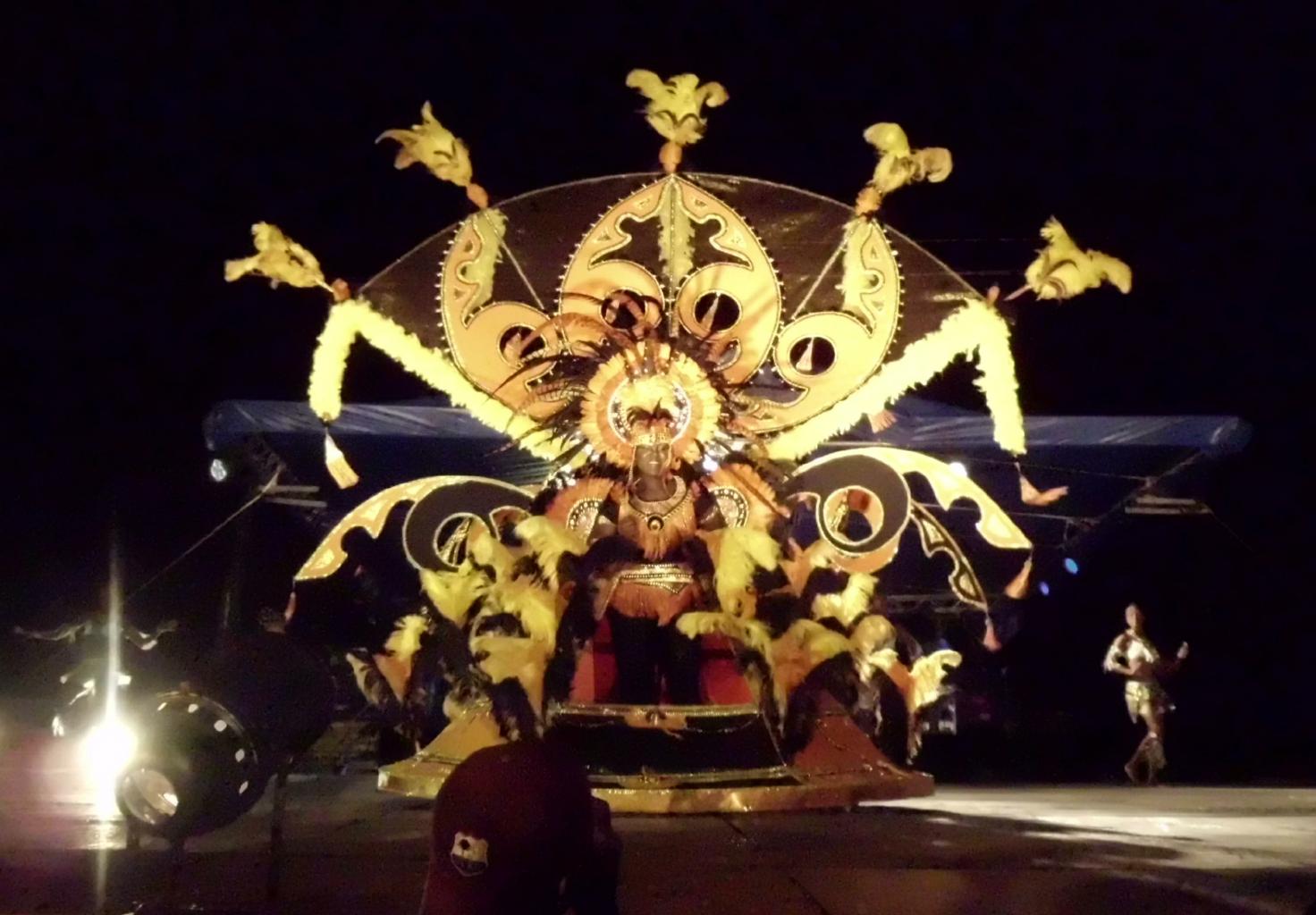
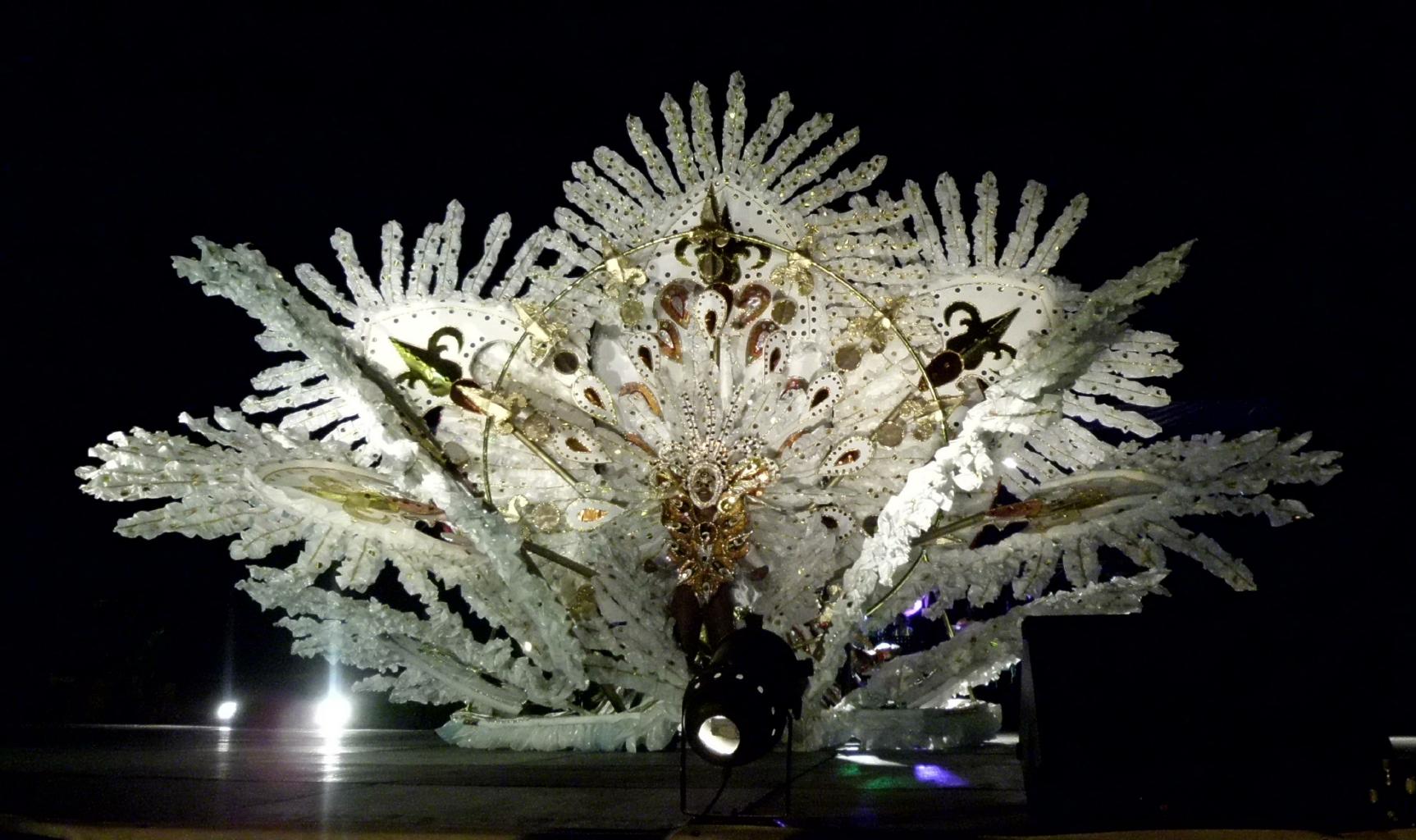
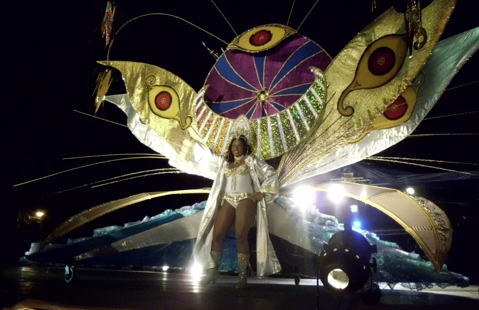
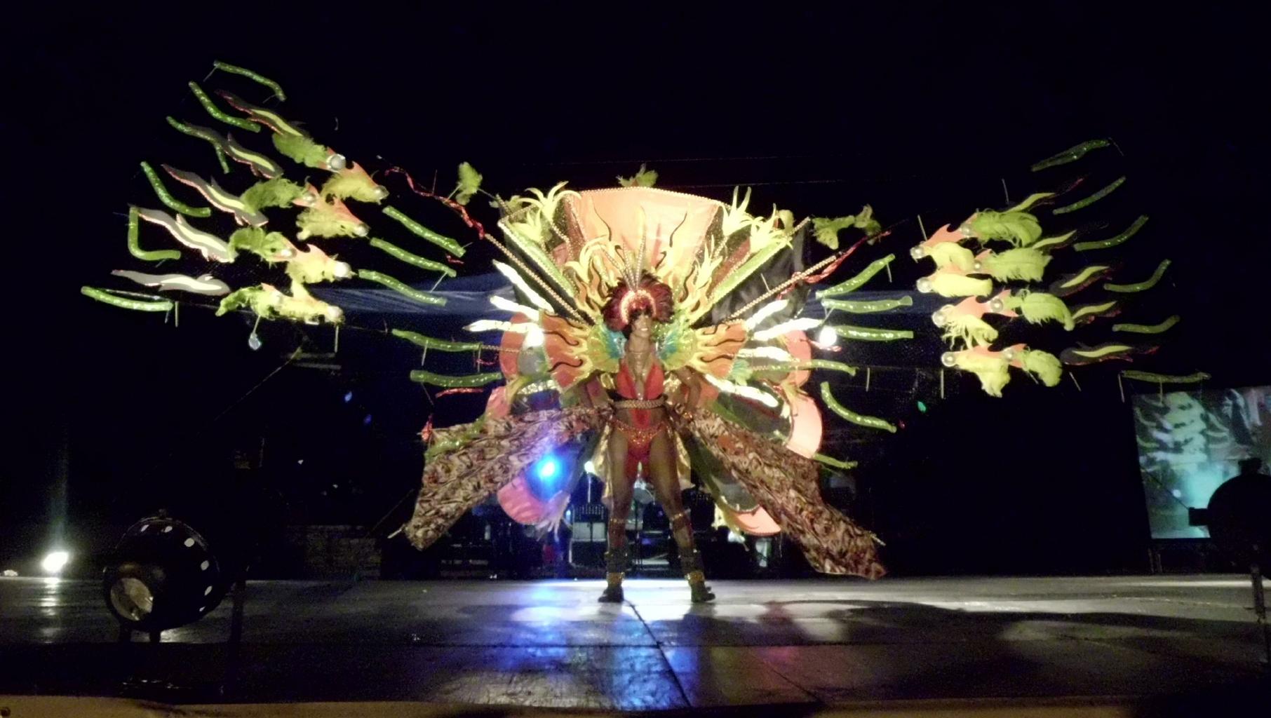
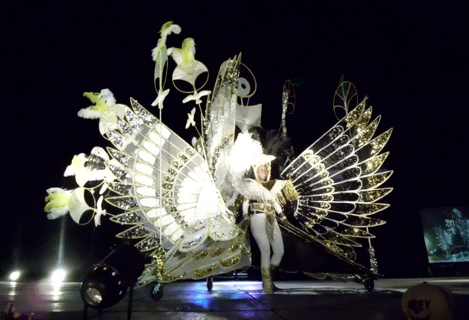
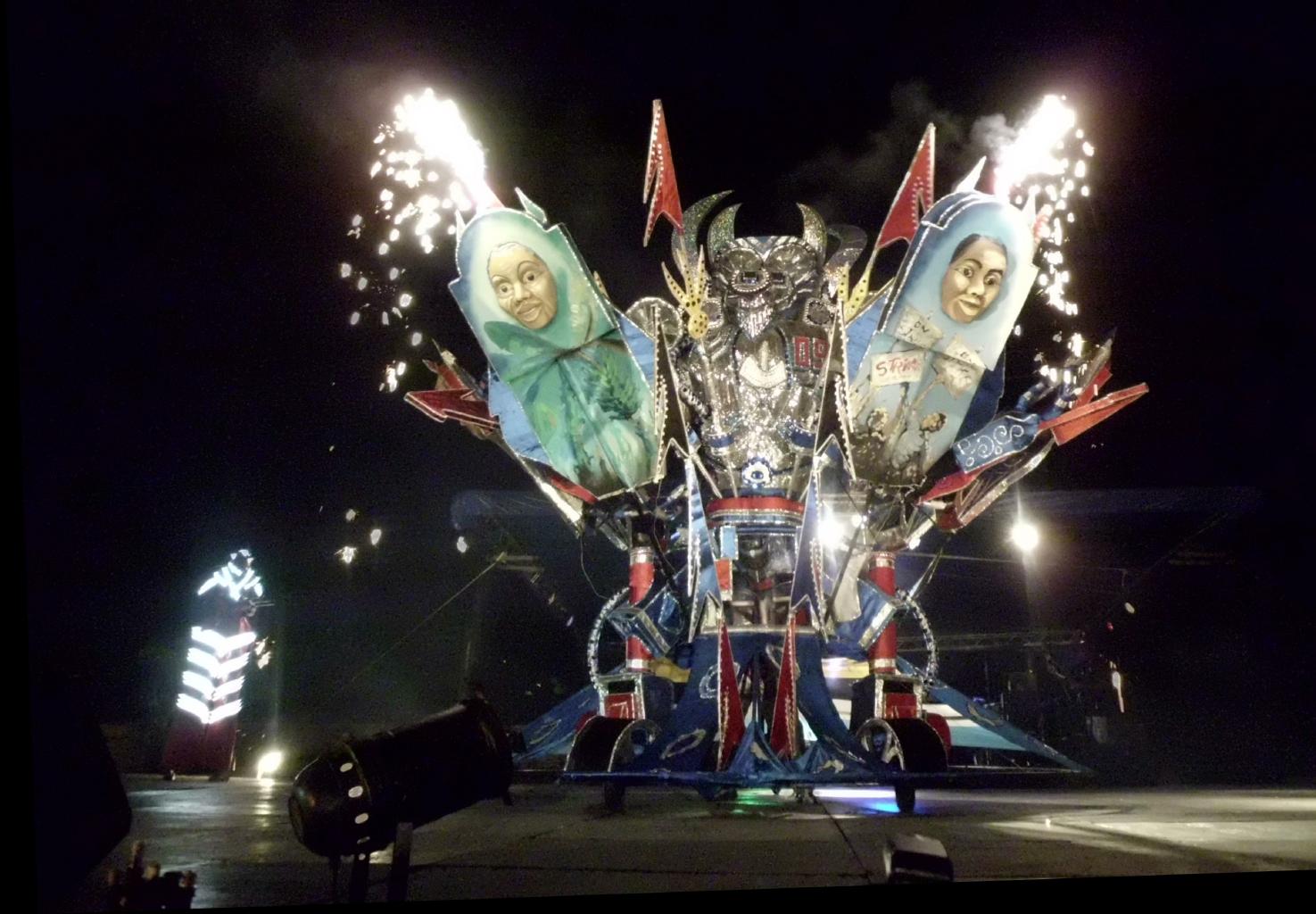
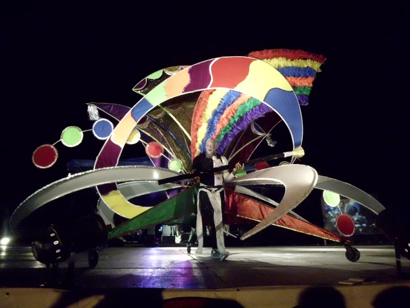
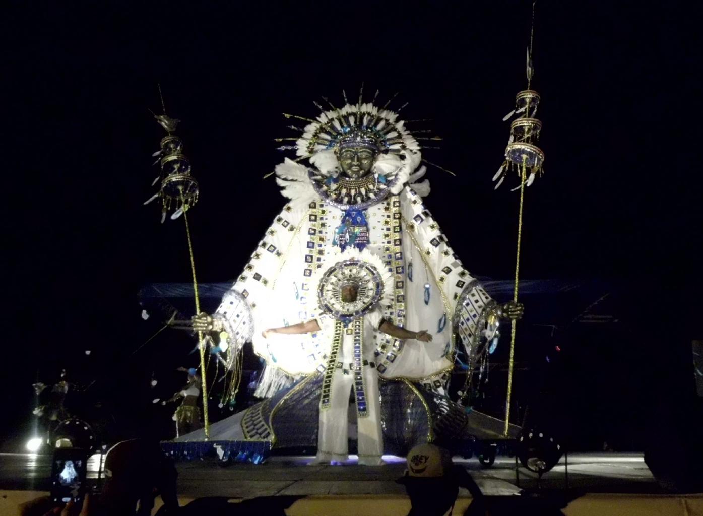
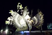
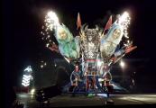
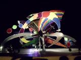
St.Lucia's mas has a particular emphasis on costuming.
The elaborately-engineered costumes shown here
are essentially one-man floats.
Muscular dancers are required
in order to roll these costumes down the streets on wheels.
|
|
|
|
|
|
The epicenter of St.Lucia's tourist traffic is Rodney Bay,
near the town of Gros Islet.
I lucked into an exquisite boutique inn here named
La Terrasse Inn.
Claudia and Thomas have created a French Restaurant
that's really first class.
Highly recommended!
|
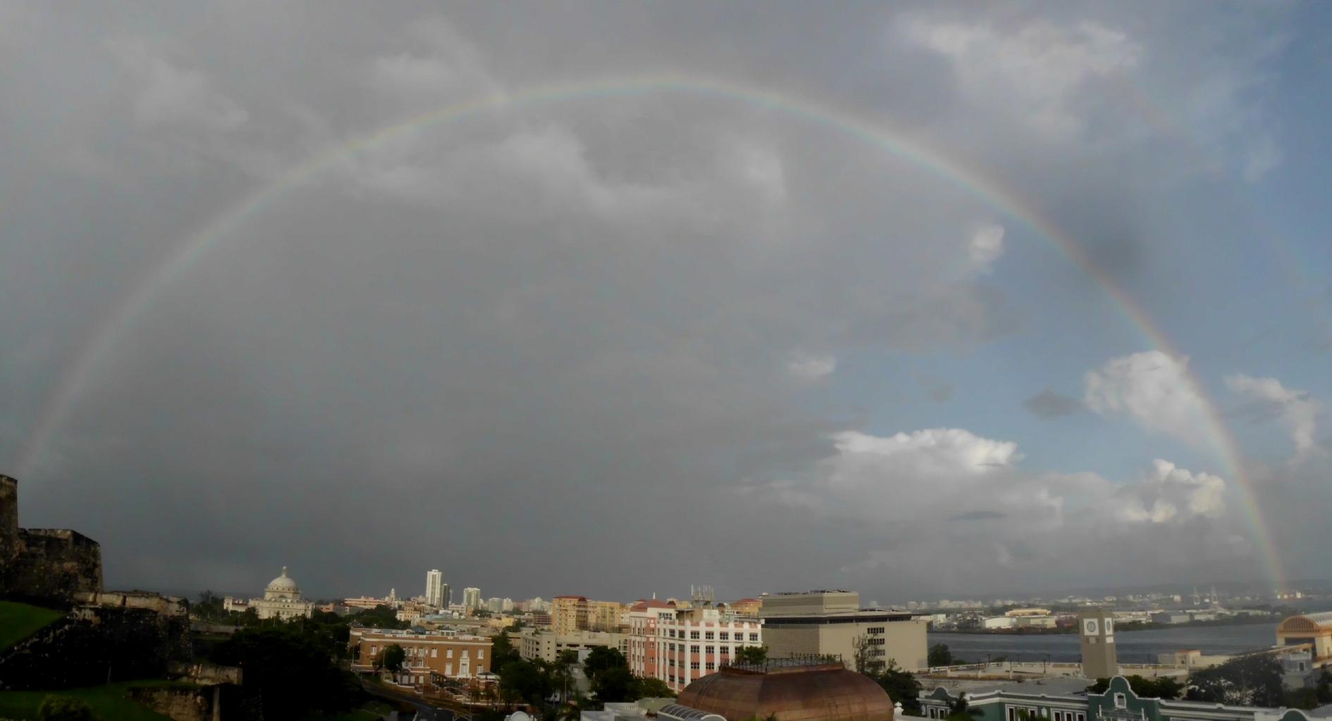
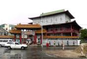
July 17, 2013 − Puerto Rico
The final stop on my 8-month Caribbean odyssey was Puerto Rico.
which is actually American soil, of course.
So, when I got off the plane,
I thought I was almost home.
But when I saw the Puerto Rican flag,
I did a double-take.
Am I back in Cuba?!
|

|

|
|
It's easy to confuse the flags of Cuba and Puerto Rico.
They're nearly identical.
The only difference is that the colors are reversed.
Question: Why are these flags similar?
Answer: In the 19th century, Cuba and Puerto Rico had close ties
and wanted their independence from Spain.
In 1895,
revolutionary groups from both islands gathered in New York
to plan their revolutions and
to design their flags.
Hence, the similarity.
Do you know which flag is which?
Hover your mouse over each flag to see the answer.
Or click
here
for more information about the Puerto Rican flag.
|
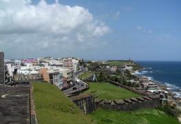
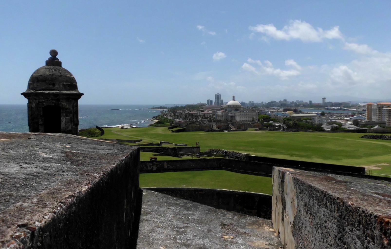
San Juan's city walls
|
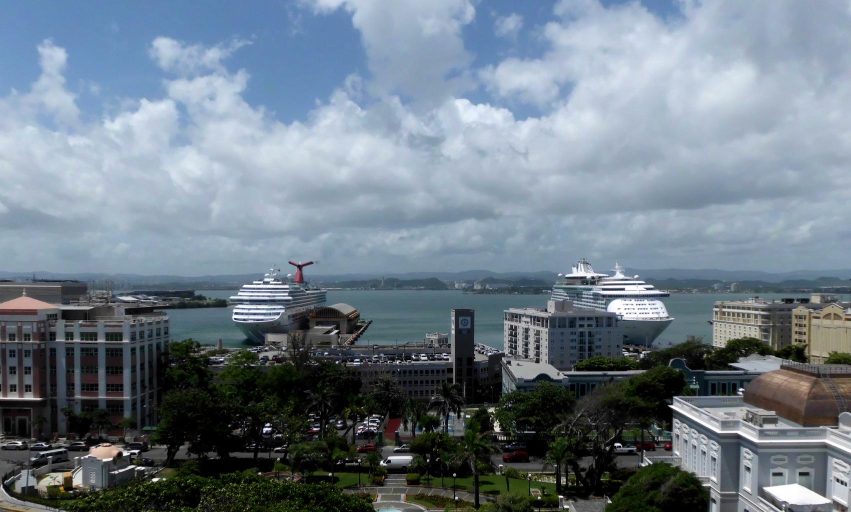
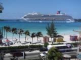
Cruise ships at dock
|
Looking east from the Fortaleza
|
|
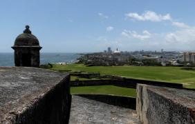
The capital of Puerto Rico is San Juan.
This is America's oldest city,
founded a century before the Pilgrims landed at Plymouth.
San Juan is also one of America's most colorful and scenic cities.
I spent five nights here and loved this town.
The old city is a living museum with
charming cobblestone streets,
historic architecture,
impressive fortresses,
gorgeous beaches,
romantic sidewalk cafes,
lively bars
and
friendly people.
It was fun to have a chance to practice my Spanish again.
Americans interested in visiting a "foreign country" −
but don't want the bother getting a passport −
should go to Puerto Rico.
I stayed at
Posada San Francisco
which is
clean,
well-run,
inexpensive
and
centrally located.
|
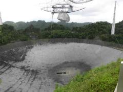
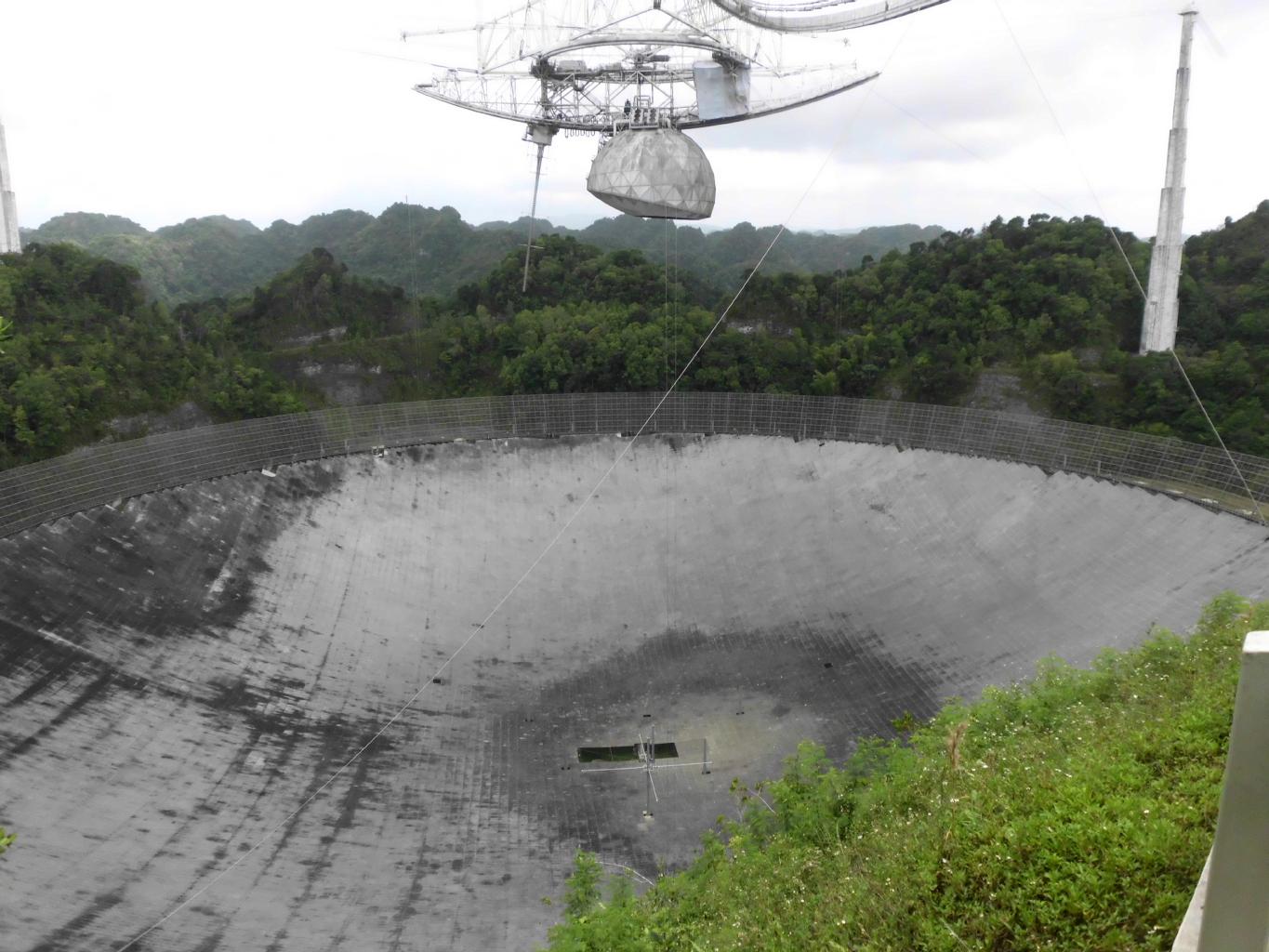
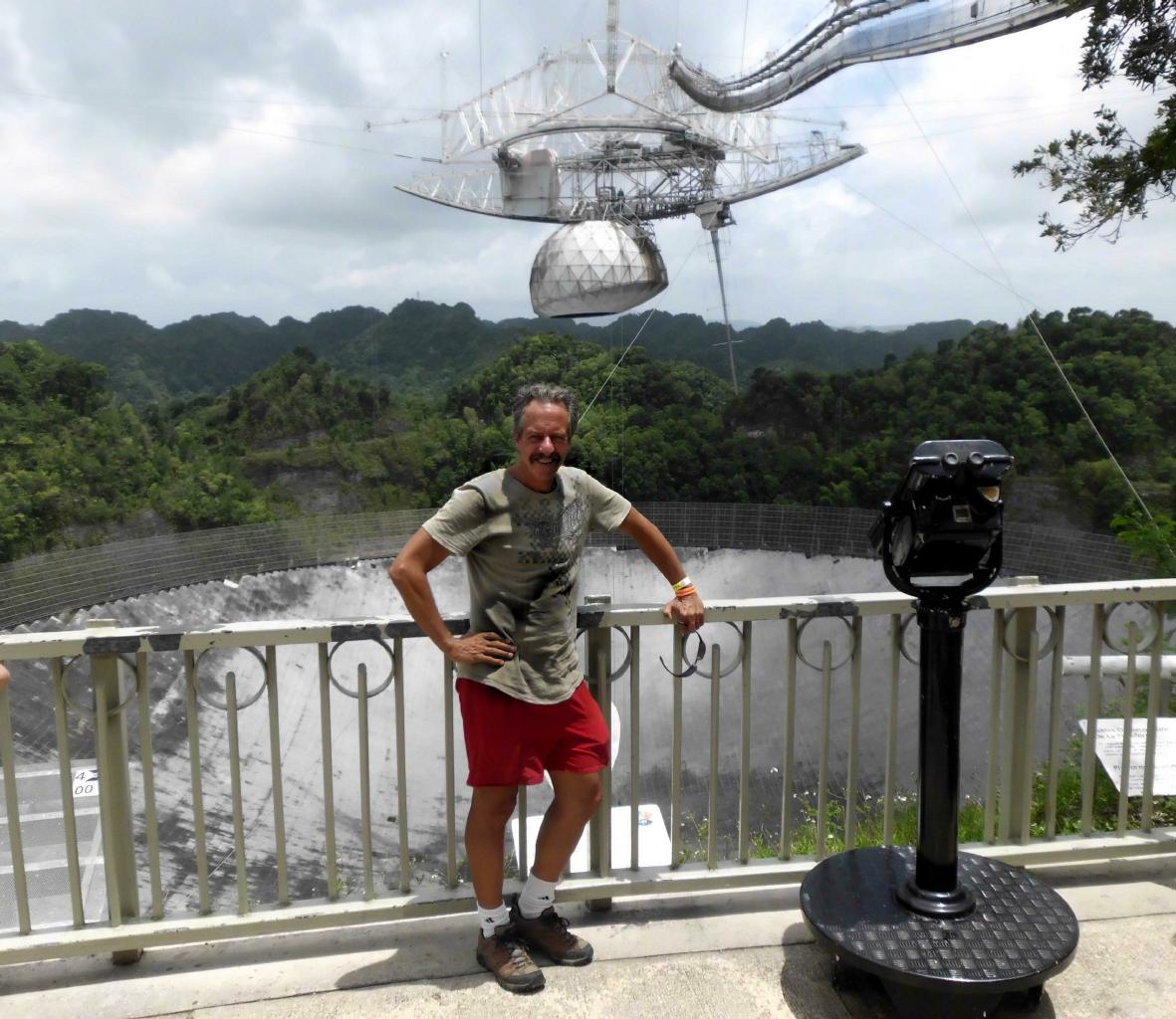
The "Dish"
|
I took a day trip to the
Arecibo Observatory,
known to Puerto Ricans as El Radar.
This is the world's largest radio telescope.
It looks like a spaceship that's landed
in a sinkhole in Puerto Rico's karst country
− a good setting for a James Bond movie
(Goldeneye 1995).
For years, I've taught astronomy students
about this research center, and its role in
SETI.
So, this place was high on my bucket list
and a fitting end to my Caribbean odyssey.
|
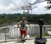
View from the visitor center
|
|
Epilogue:
Last November, I left the states
with my passport and a daypack containing
camera, Kindle, laptop, change of clothes, and a few toiletries.
I didn’t have an itinerary.
I bought one-way tickets.
I traveled "close to the ground"
staying in hostels, guest houses, people’s homes and rarely in hotels.
I took public transit and avoided taxis.
My goal: To visit new places and meet new people,
and to travel in an unhurried sort of way.
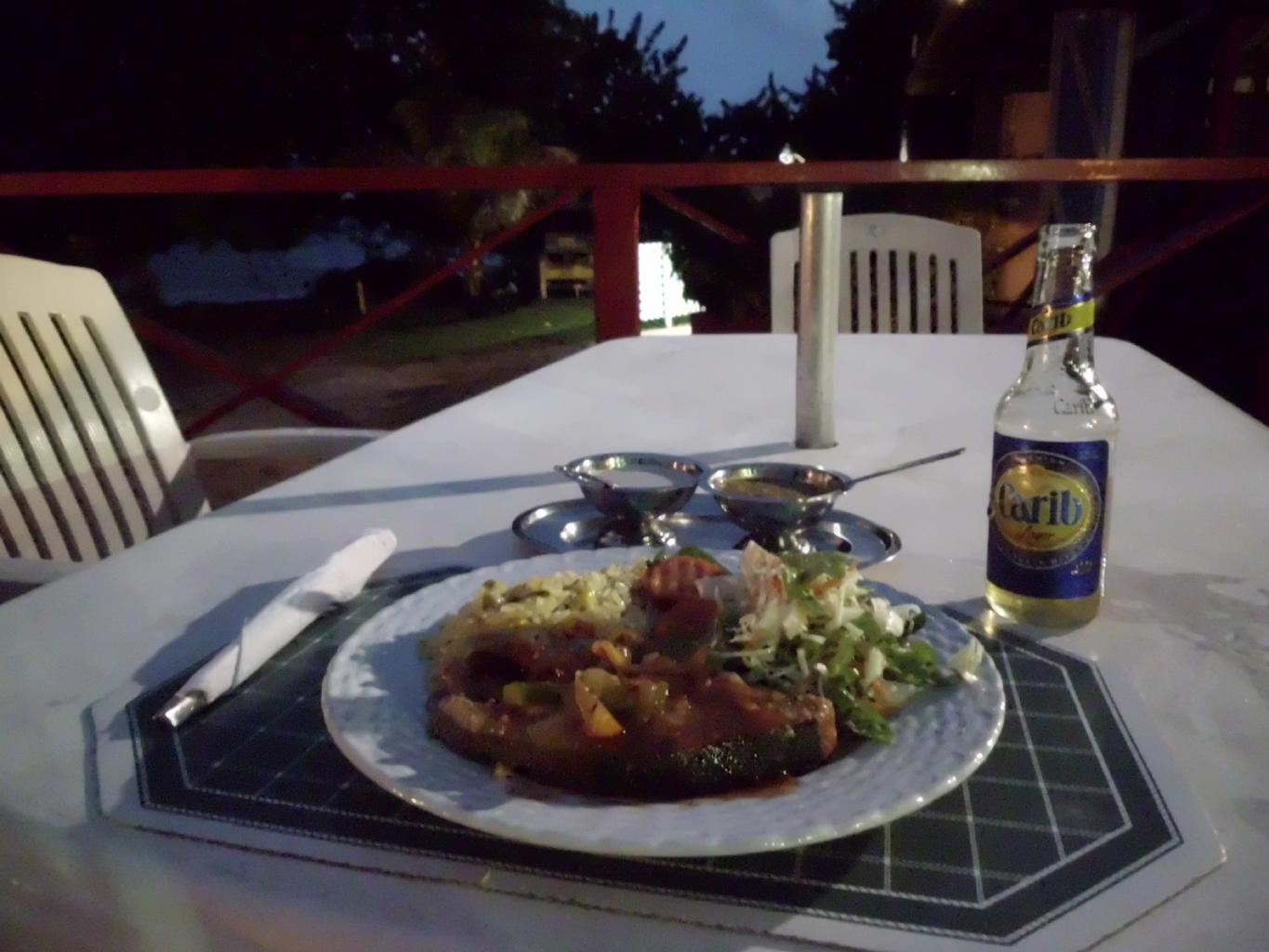
In all, this 8-month adventure cost about $120/day.
|
|
The two highlights of this journey were
my six weeks in Cuba
living with nine different families, and
the 10-day sail through the Grenadines
aboard a 41 foot sloop.
These two adventures were dreams fulfilled.
Yet, every step of this journey was a delight,
with friendly people and stunning scenery everywhere.
I’ve been struck by how different each island is from the next.
Jamaica, Haiti and Cuba are almost within sight of each other.
Yet because there’s little traffic between these islands,
their populations have remained isolated from each other.
Although the people look similar,
their languages, music, food and cultures are completely different.
It's the differences that make the world so fascinating.
I’m on my way to Michigan now, to see family.
But before the snow flies, I’ll be heading somewhere new.
There's still so much to learn.
|

Rainbow over San Juan
|
|
|